Trail Overview
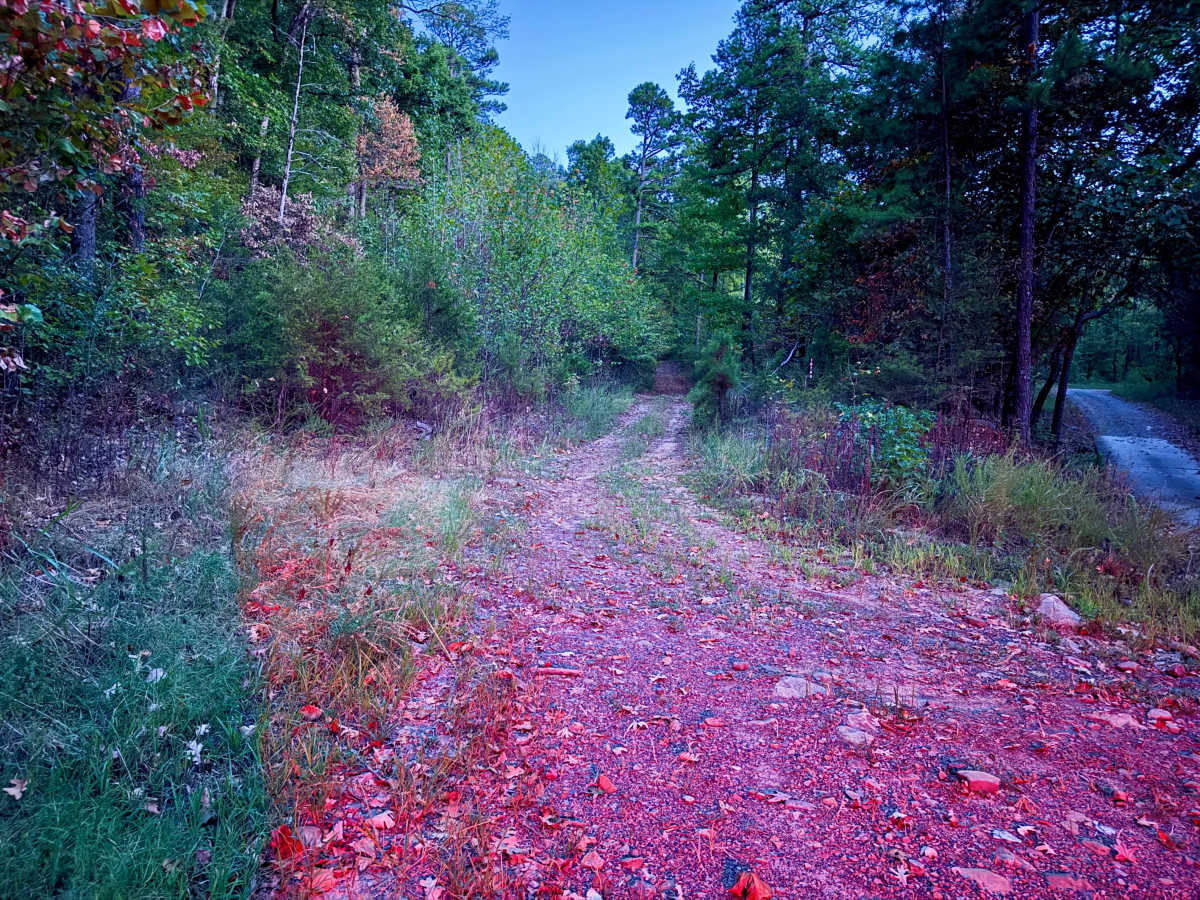
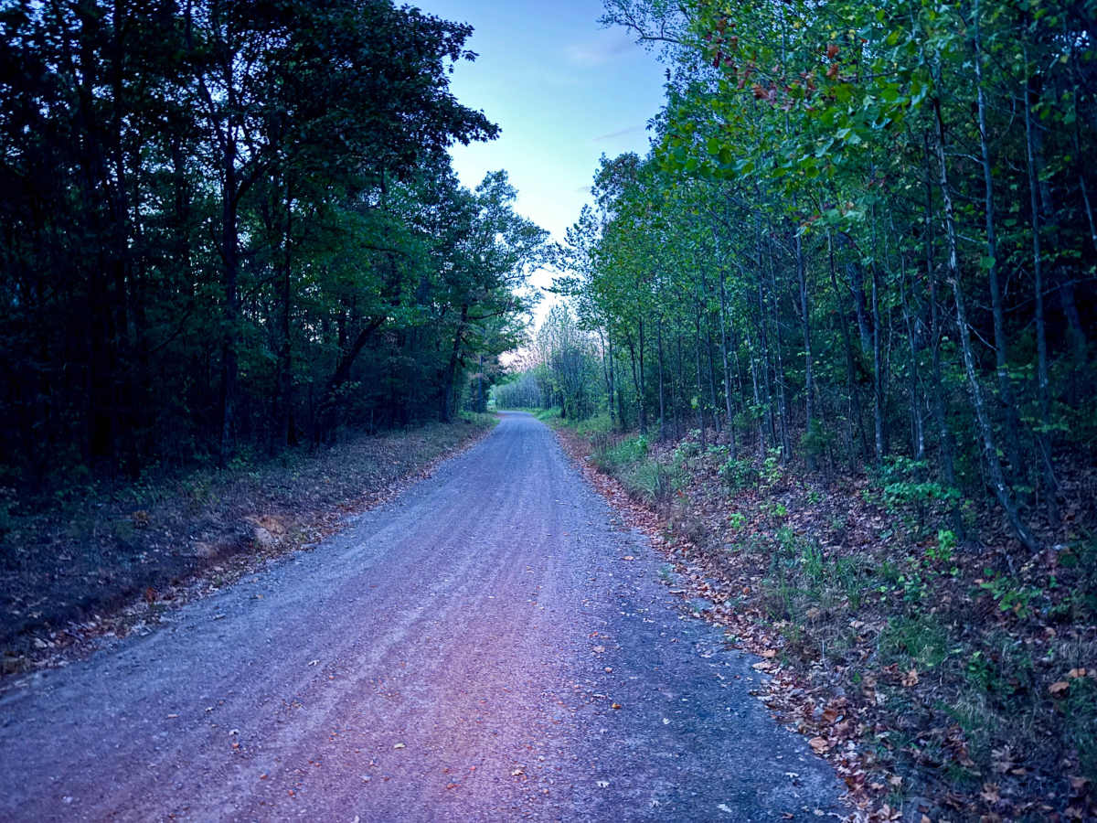
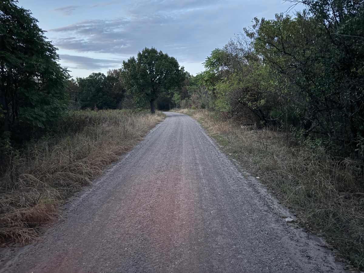
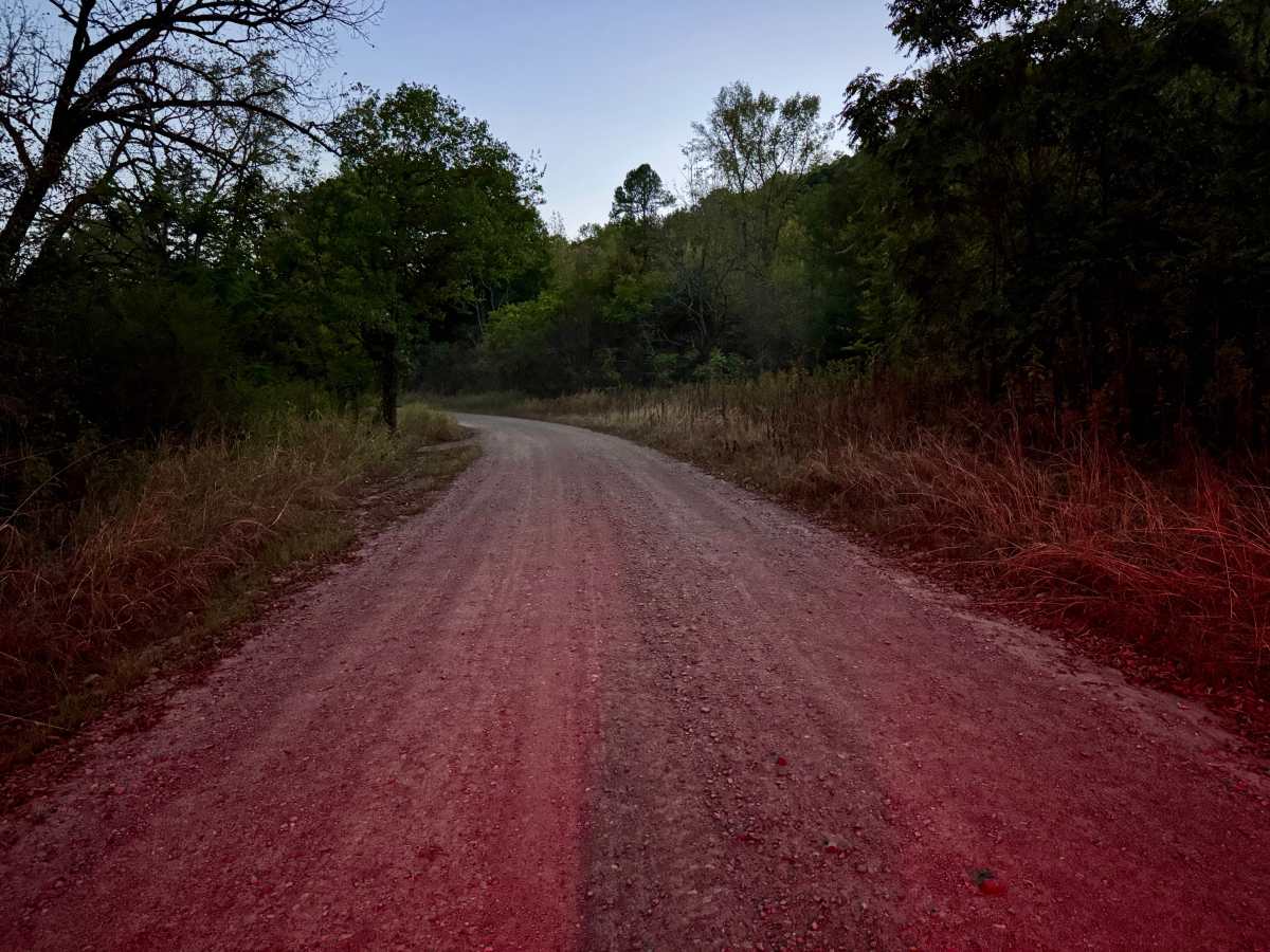
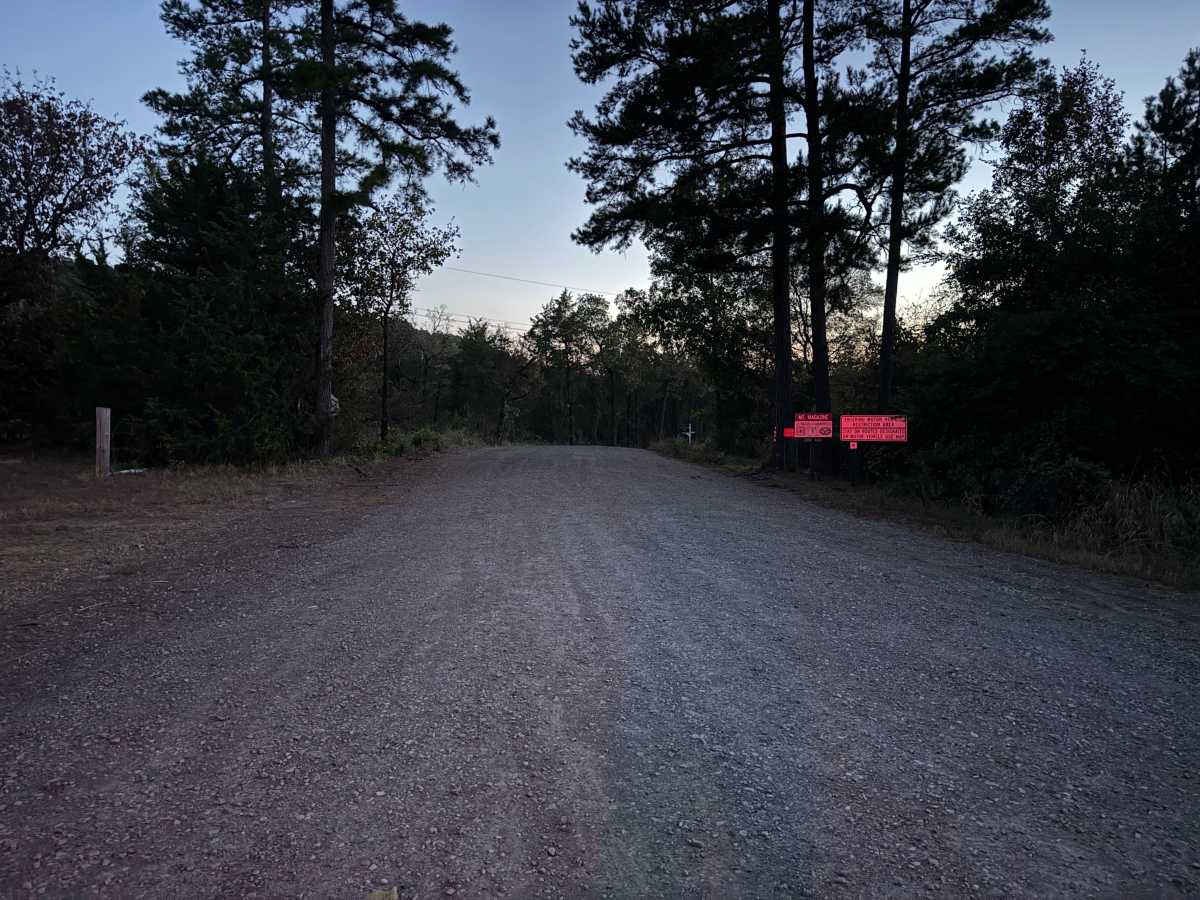
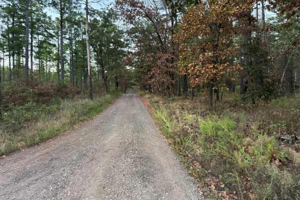
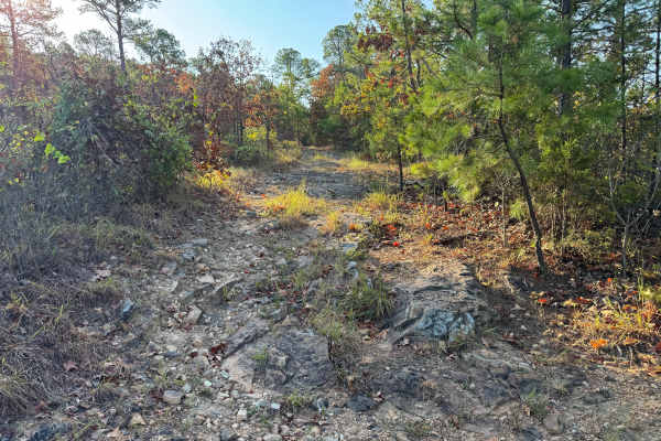
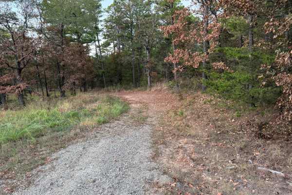
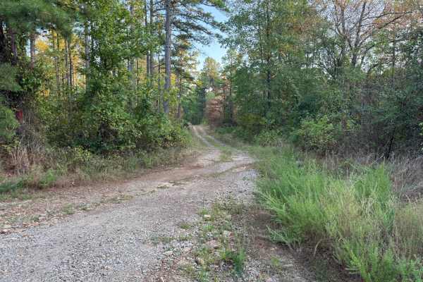
This route follows a mostly maintained gravel road through a mixture of hardwood and pine forest. The main portion is relatively broad, with enough width for two vehicles to pass in most areas. The surface consists primarily of compacted gray gravel with scattered loose stone, while the surrounding vegetation ranges from dense woodland to more open areas lined with tall grasses and brush. Near one end, the route transitions from the maintained gravel road into a lightly traveled two-track before narrowing considerably. This section is surrounded by dense trees, shrubs, and other vegetation growing close to the roadway. Farther along, a large downed tree currently blocks the route and would require considerable work to clear. Turning around near the blockage is difficult due to the confined space, so travelers who are not prepared to remove the tree should consider ending the route while still on the maintained gravel portion. Large spider webs may also stretch across the narrower, less-traveled section.
Difficulty
The maintained gravel portion presents no major obstacles, but the narrow two-track has tight vegetation that can cause significant pinstriping. A large downed tree currently blocks the route and leaves very limited room to turn around near the obstruction.
History
The Mount Magazine area has a long history of transportation, forestry, and recreation. During the Great Depression, federal programs including the Civilian Conservation Corps and Works Progress Administration developed roads and recreation infrastructure around the mountain. Cove Lake was constructed as part of the Mount Magazine land-use project and was completed in 1938, while CCC crews based at nearby Blue Mountain performed forestry work and improved roads throughout the area. Many of today's routes travel through the same national forest landscape that was extensively managed and developed during this period.