Trail Overview
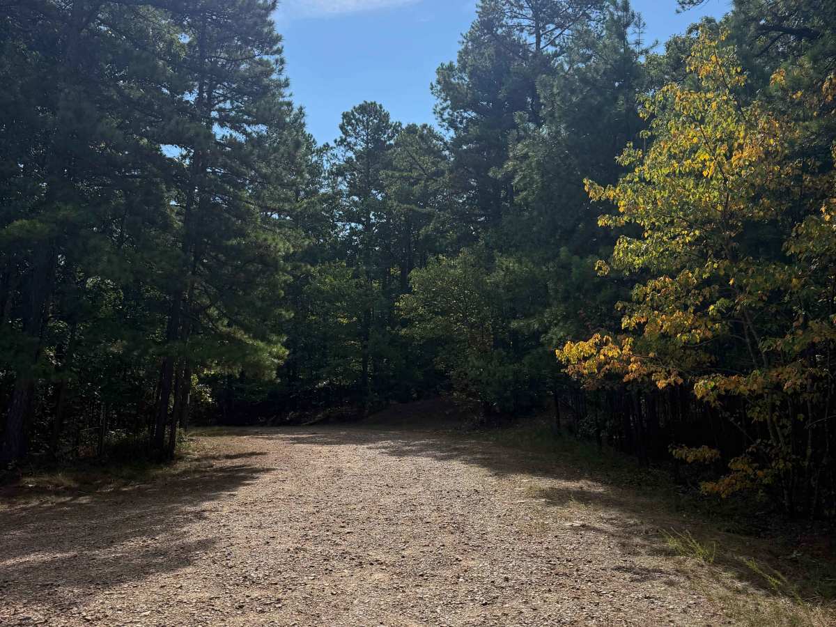
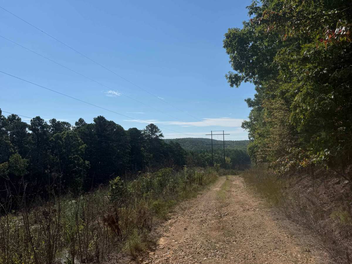
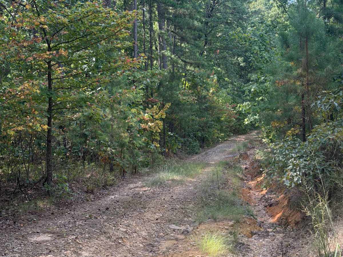
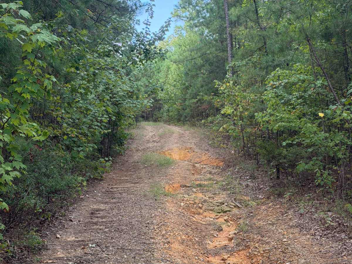
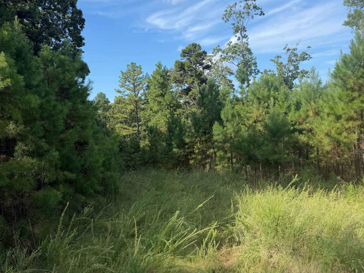
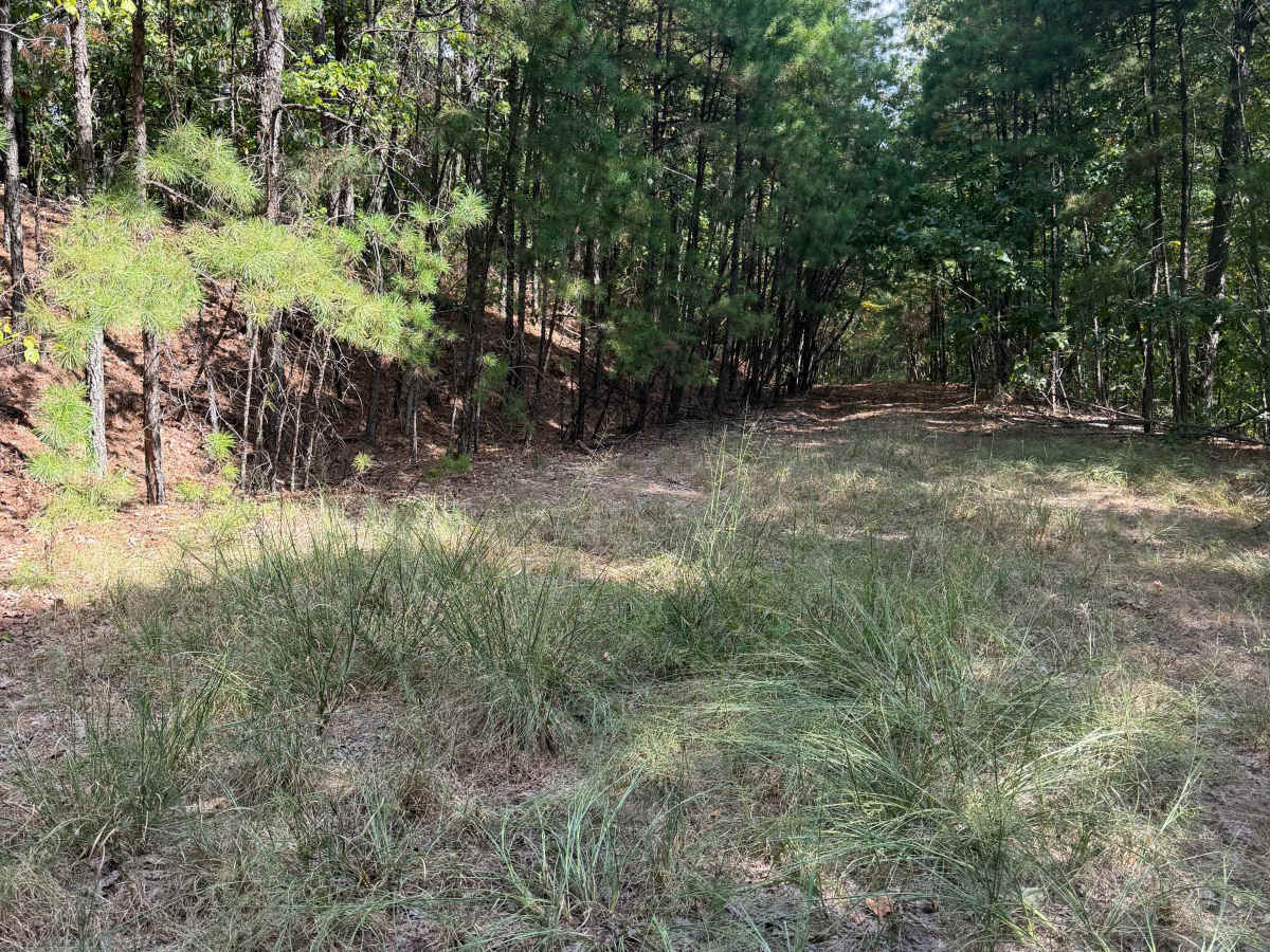
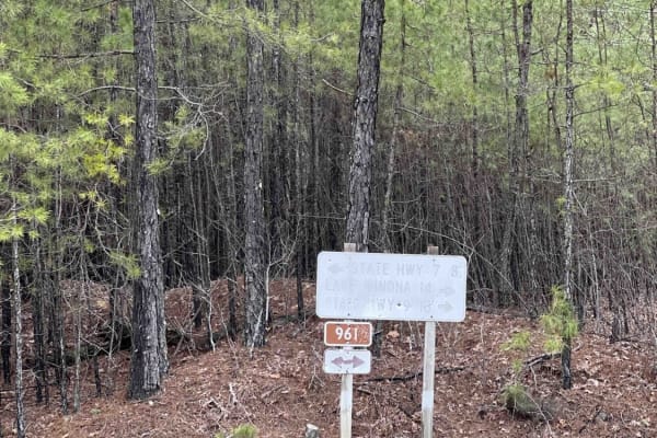
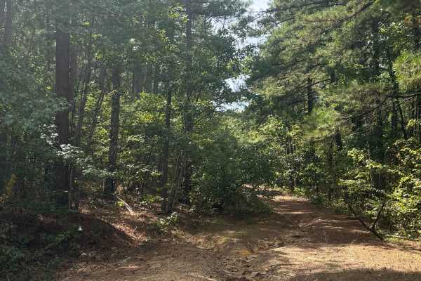
This trail follows a powerline corridor and eventually leads to a nice campsite, with several smaller campsites scattered along the way. After heavy rain, the entrance can become washed out and may require a little extra caution. Other than that, the trail is fairly easy and winds through some scenic sections with a few optional bypasses to explore. It’s a great route for anyone looking for a relaxed ride with plenty of opportunities to stop and enjoy the surroundings.
Difficulty
Overall, this is an easy trail with no major obstacles. However, after heavy rain, washouts can develop and creating off camber sections that require extra caution. Trail conditions can change quickly, so it’s a good idea to be prepared and adjust your driving to the conditions.
History
The Ouachita National Forest is the oldest national forest in the southern United States, established in 1907 to protect the region’s timber, wildlife, and watersheds. Covering nearly 1.8 million acres across western Arkansas and southeastern Oklahoma, it is known for its rugged ridges, dense pine and hardwood forests, scenic overlooks, waterfalls, and extensive network of trails. Long before becoming a national forest, these mountains were home to Indigenous peoples, including the Caddo, Osage, and Quapaw, who relied on the area’s abundant natural resources. During the late 1800s, widespread logging transformed much of the landscape, leading to federal protection and restoration efforts. In the 1930s, the Civilian Conservation Corps built many of the roads, campgrounds, trails, and recreation areas that visitors still enjoy today. Whether you’re exploring by off-road vehicle, hiking, camping, or simply taking in the views, the Ouachita National Forest offers a unique blend of rich history, diverse wildlife, and some of the most scenic public lands in the Ozarks and Ouachita Mountains.