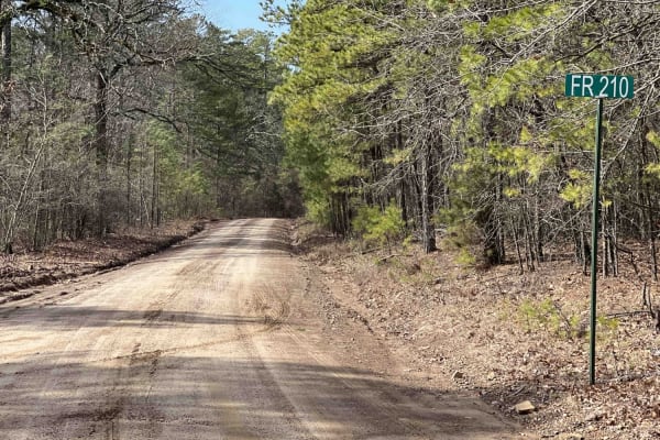
Maumelle

Total Miles3.3
Technical Rating
2Easy
Best TimeSummer, Fall, Winter, Spring
Trail TypeFull-Width Road
Accessible By
Open Trail Map

Trail Overview

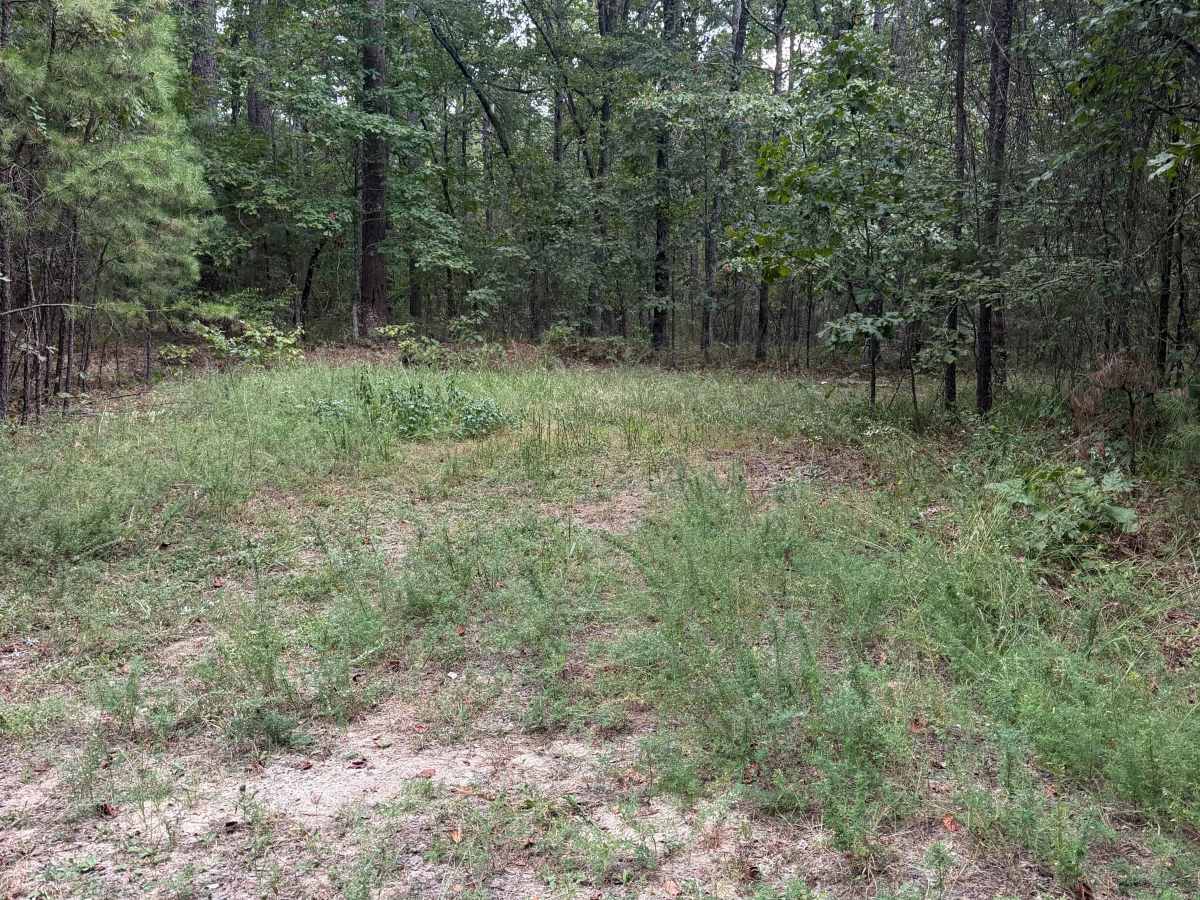
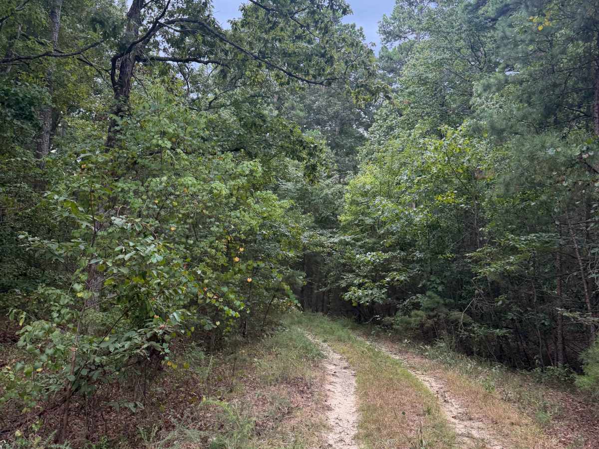
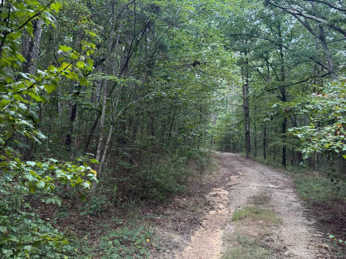
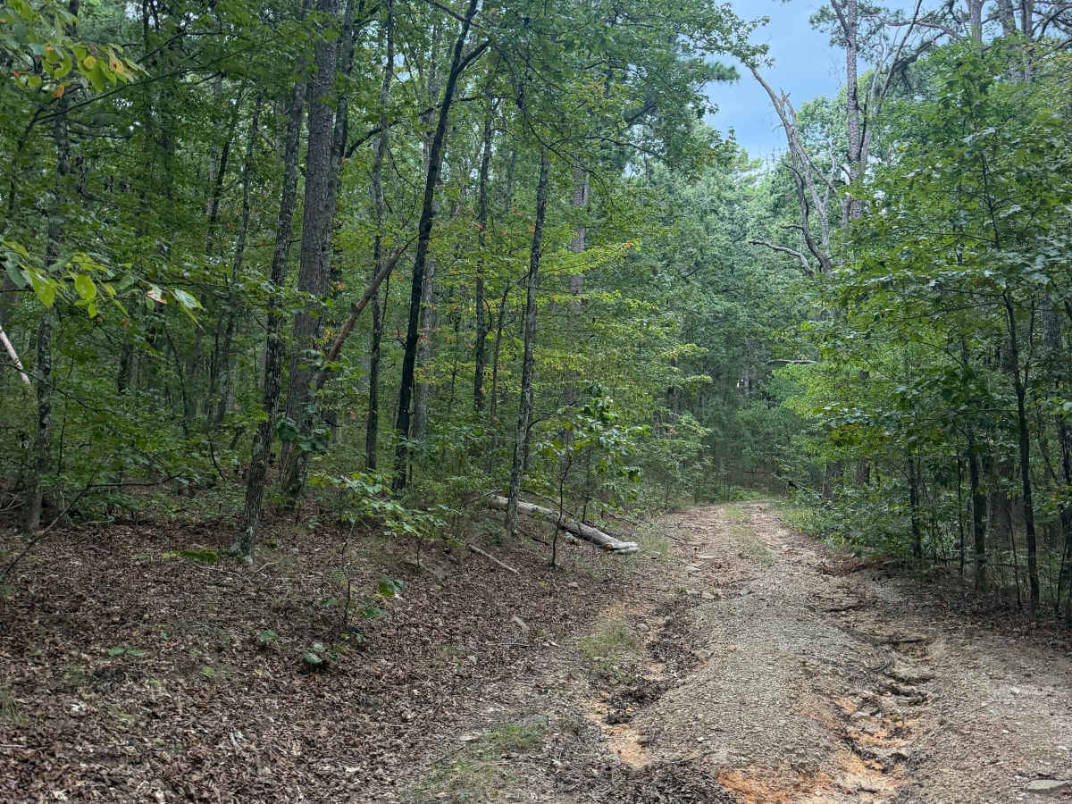
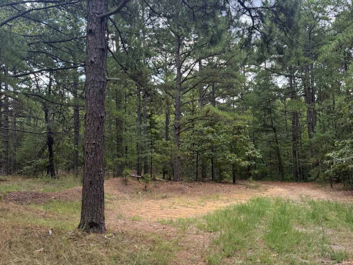
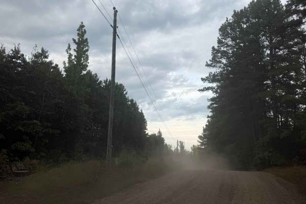
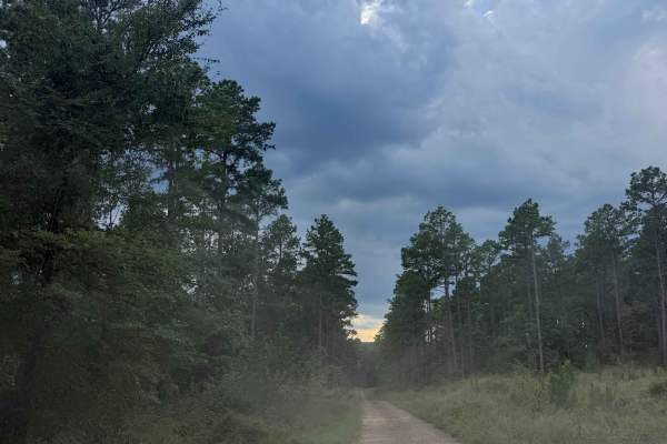
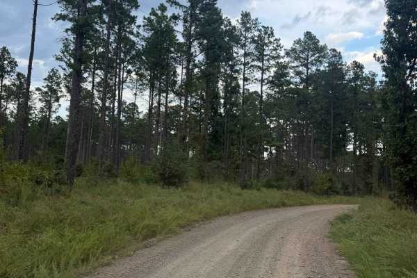
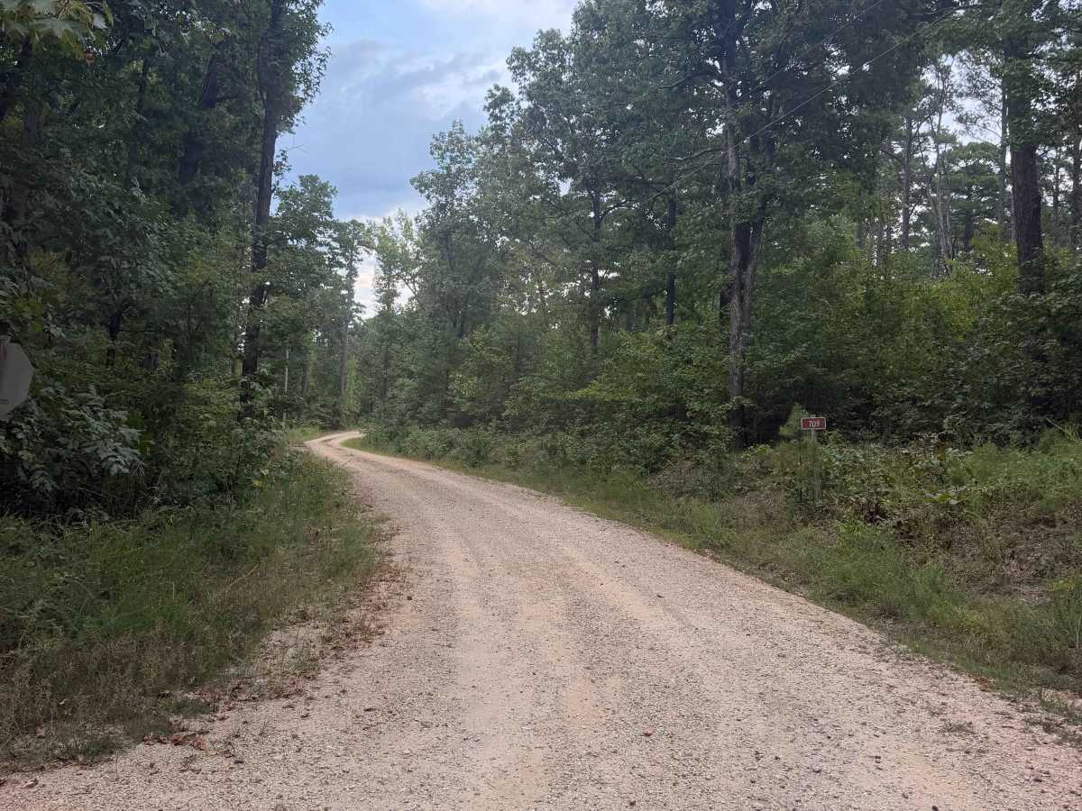
Maumelle branches off Blue Jay Hollow Road to the north, with several camping spots along the way. The farther you go, the more overgrown the road becomes. Rain or icy conditions can change the road surface and make travel more difficult by creating washouts and off-camber spots, so use caution when conditions are poor.

Photos of Maumelle

Difficulty

Washouts are the most difficult part of this trail.

Technical Rating

2

Maumelle Trail can be accessed by the following ride types:

  • High Clearance
  • Full Width

Maumelle Map

The onX Offroad Difference

onX Offroad combines trail photos, descriptions, difficulty ratings, width restrictions, seasonality, and more in a user-friendly interface. Available on all devices, with offline access and full compatibility with CarPlay and Android Auto. Discover what you're missing today!

Open Trail Map