Trail Overview
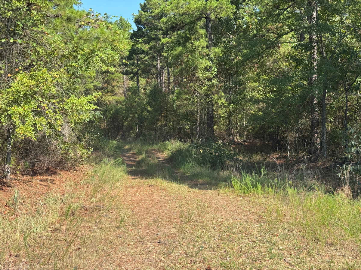
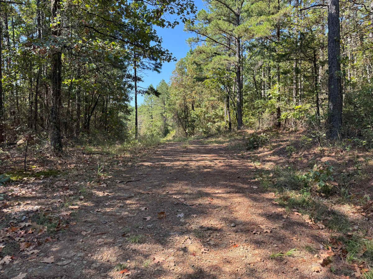
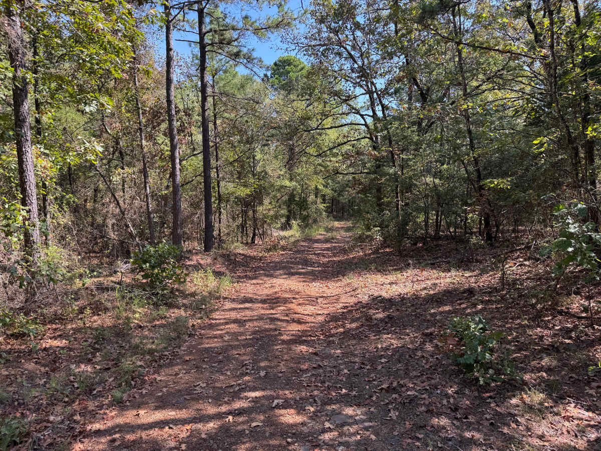
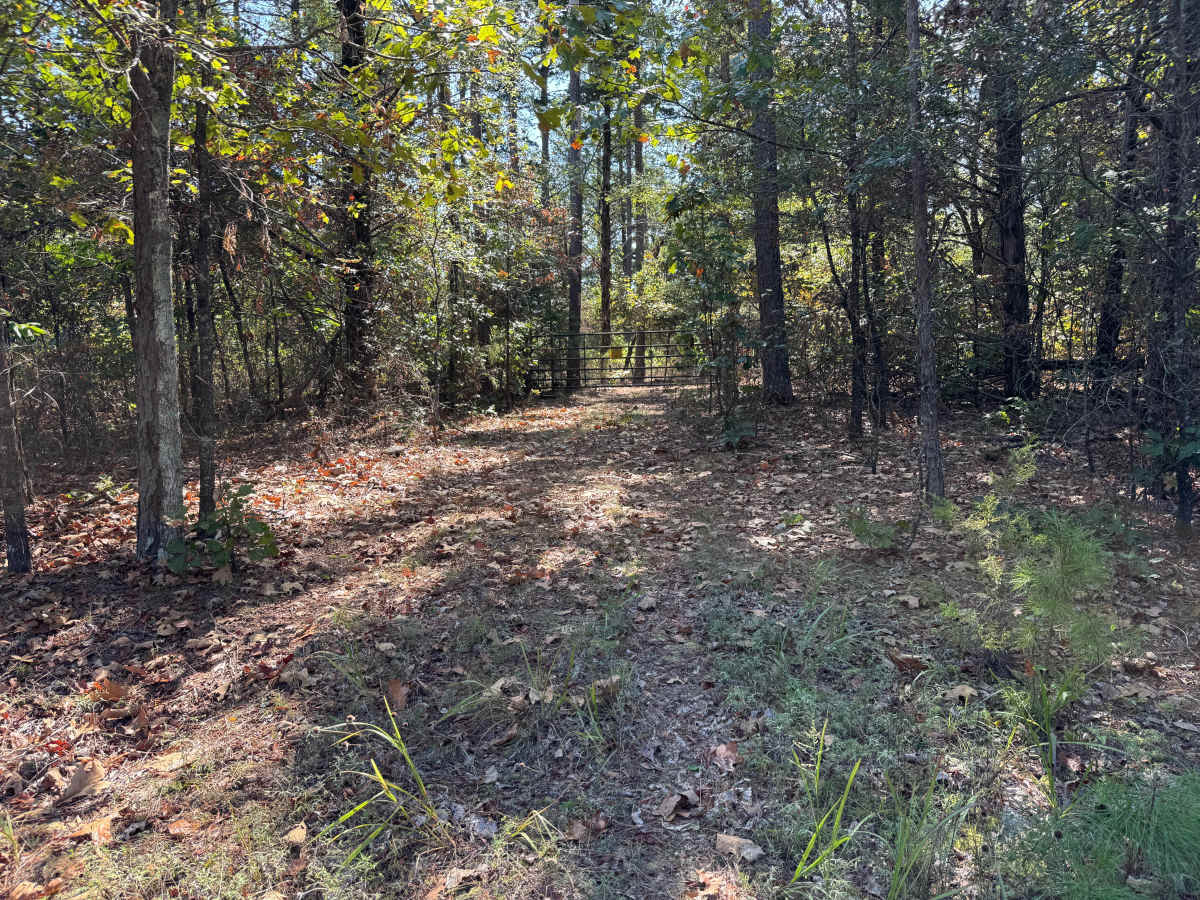
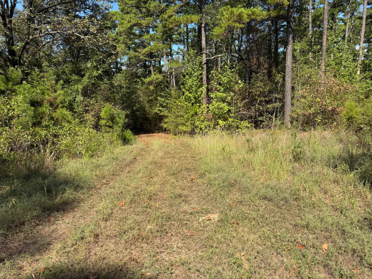
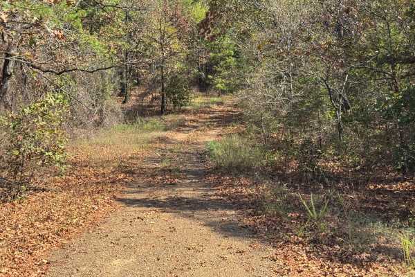
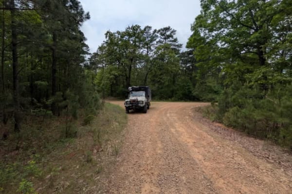
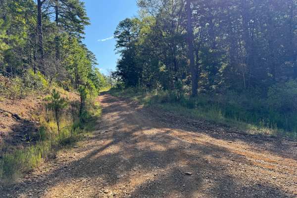
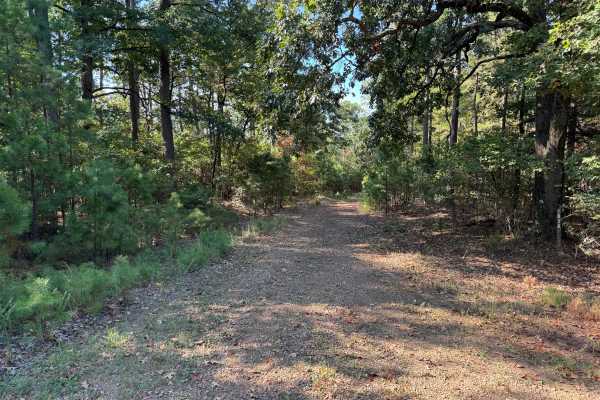
This out-and-back route travels through a heavily wooded area before ending at a closed gate. A wider clearing shortly before the gate provides a convenient location to turn around and return the way you came. The surface varies between compacted native dirt, scattered gravel and small rock, and sections covered with fallen leaves and pine needles. In several areas, grass and other vegetation have grown between the tire tracks as the road becomes less frequently traveled. The surrounding forest consists of mature hardwoods and tall pines mixed with dense stands of young pines, shrubs, vines, and tall grasses. The roadway is generally only one vehicle wide, although a few wider areas provide room for vehicles to pass. Vegetation becomes considerably thicker near the end of the route, with trees and brush encroaching on the roadway. Wildlife may also frequently use or cross this quiet forest corridor.
Difficulty
Typical whoops, dips, and ruts from natural water erosion create minor uneven terrain. Overgrown trees and brush near the end of the route may cause pinstriping or scratches to the vehicle's paint.
History
The Mount Magazine area has a long history of transportation, forestry, and recreation. During the Great Depression, federal programs including the Civilian Conservation Corps and Works Progress Administration developed roads and recreation infrastructure around the mountain. Cove Lake was constructed as part of the Mount Magazine land-use project and was completed in 1938, while CCC crews based at nearby Blue Mountain performed forestry work and improved roads throughout the area. Many of today's routes travel through the same national forest landscape that was extensively managed and developed during this period.