Trail Overview
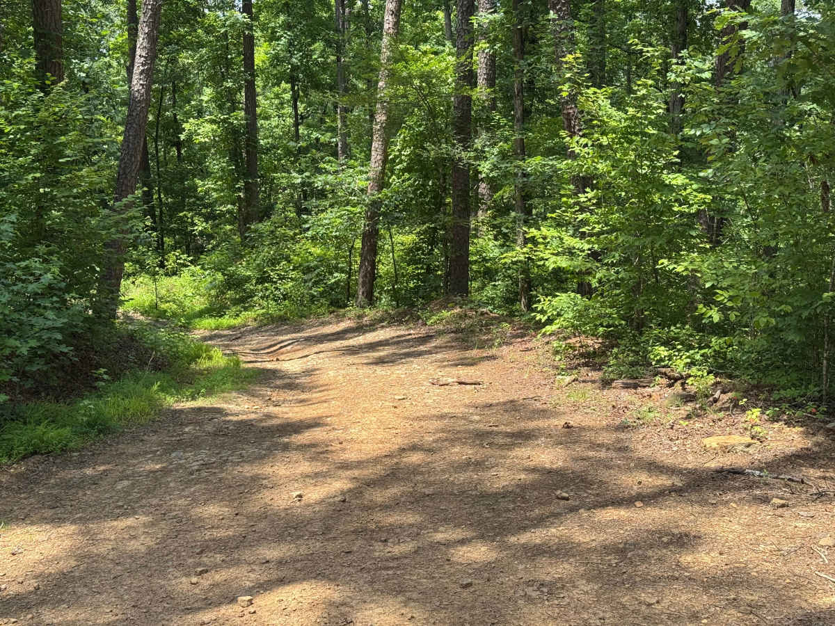
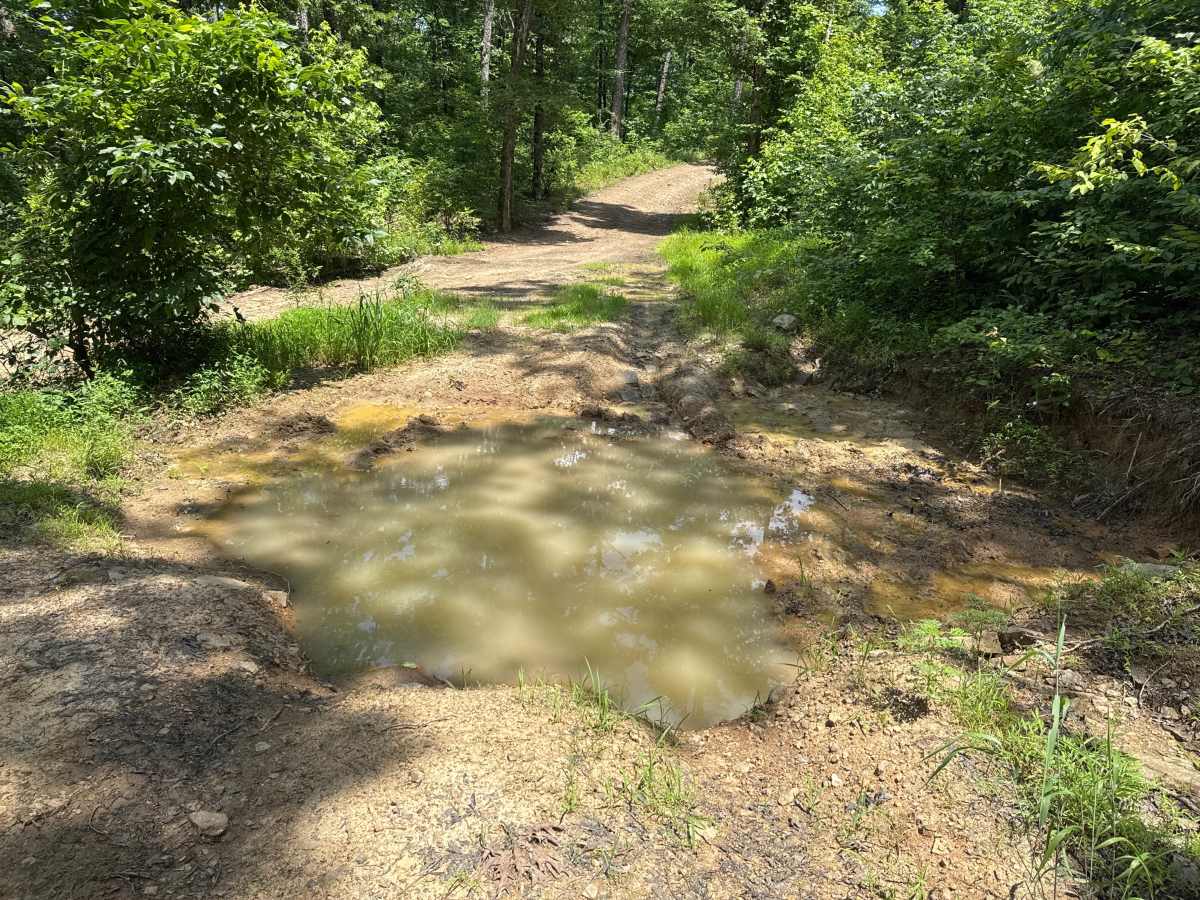
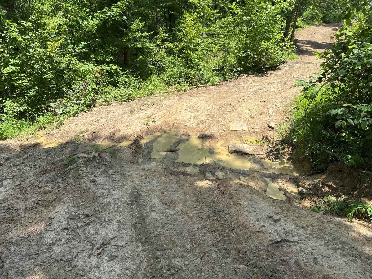
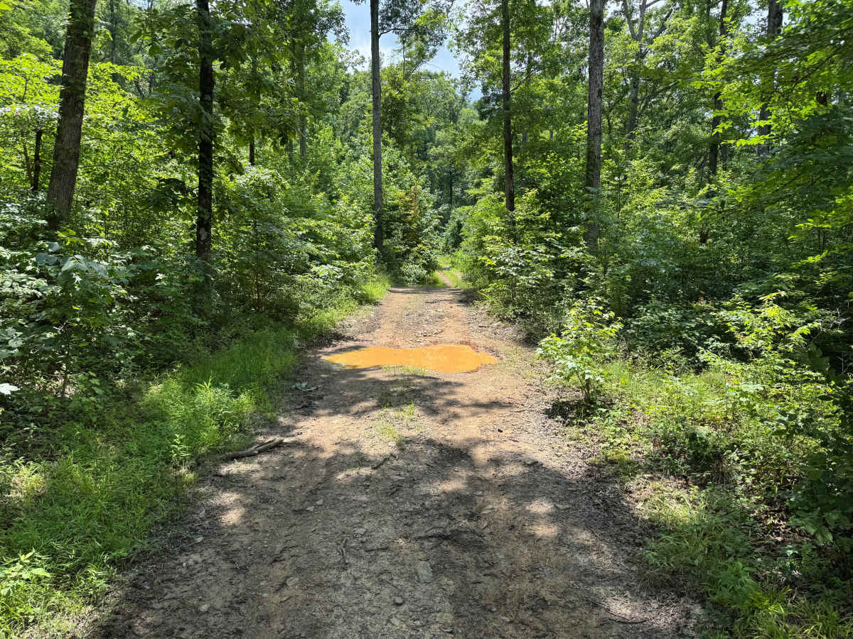
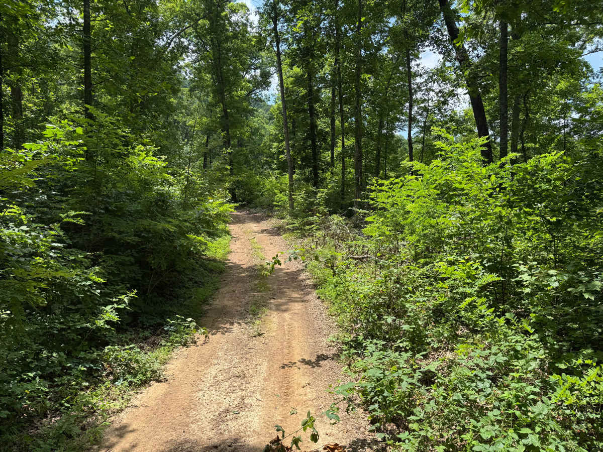
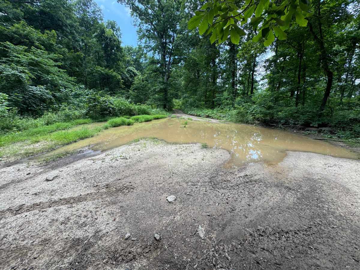
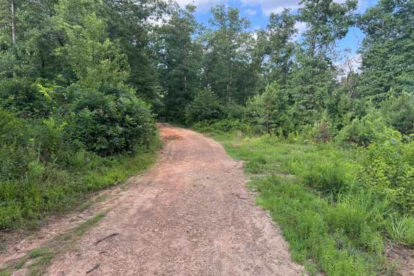
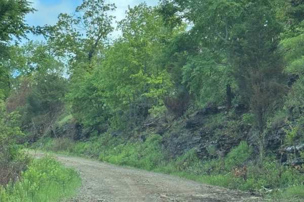
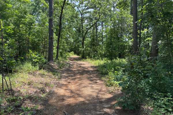
This trail offers a more technical drive through a heavily wooded section of the forest with a combination of mud, rocks, and tight vegetation. The route is unmaintained, so expect uneven terrain and changing conditions throughout the year. Several mud holes are scattered along the trail, including one large crossing that spans nearly the entire width of the road. A bypass is available around the deepest section, although it has begun developing its own smaller mud hole. Staying to the north side of the widest crossing generally provides the firmest line. Dense brush crowds the trail in several areas, making pinstriping and paint scratches likely. As the trail continues, you'll encounter embedded rocks protruding from the surface along with several short, rocky hill climbs that are best driven in 4LO. Despite the obstacles, the trail remains an enjoyable drive through a scenic hardwood forest with plenty of shade and a remote backcountry feel.
Difficulty
Multiple mud holes, embedded rocks up to 12 inches tall, and several short hill climbs require careful tire placement and controlled throttle input and transferase with 4lo range gearing. Dense brush along the route makes pinstriping likely, while wet conditions can significantly increase the difficulty by reducing traction through the muddy sections and on the climbs.
History
The Ozark National Forest was established in 1908 and today forms part of the Ozark-St. Francis National Forests, protecting more than one million acres across northern Arkansas. Many of the Forest Service roads traveled today began as logging, fire access, or resource management roads before becoming part of the modern recreation network. Forest management continues to play an important role in maintaining healthy ecosystems through timber management, prescribed fire, wildlife habitat restoration, and watershed protection. The rugged Boston Mountains and surrounding Ozark Highlands remain one of the oldest and most geologically significant mountain regions in North America, offering visitors a unique combination of natural beauty and rich forest history.