Trail Overview
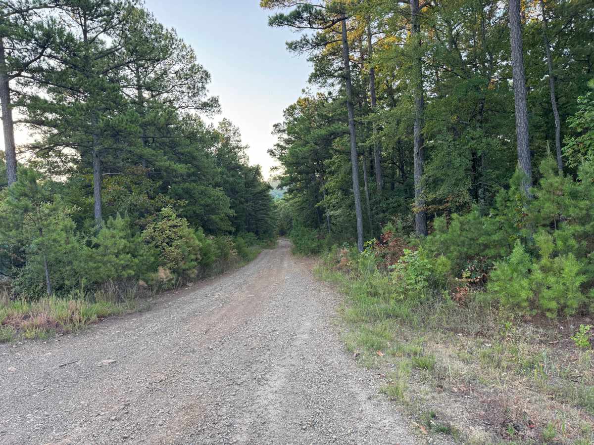
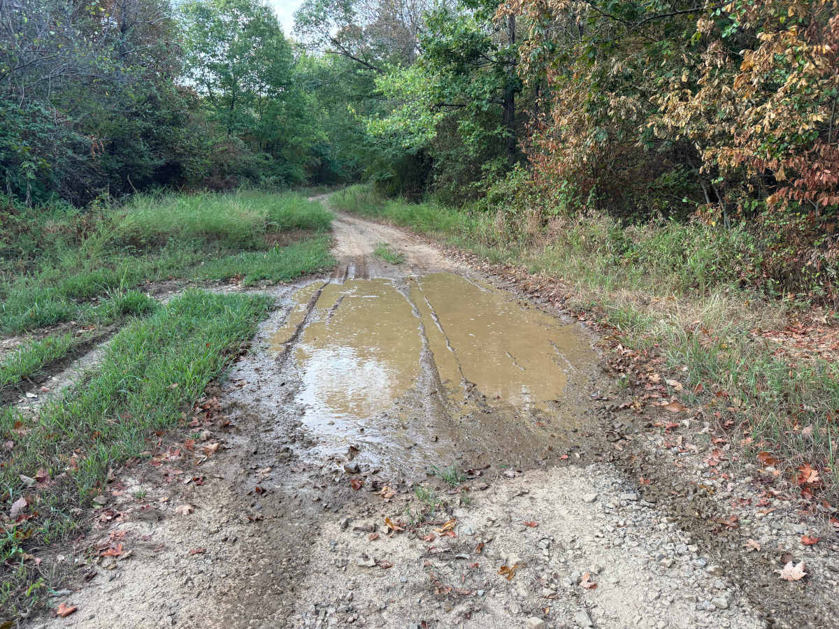
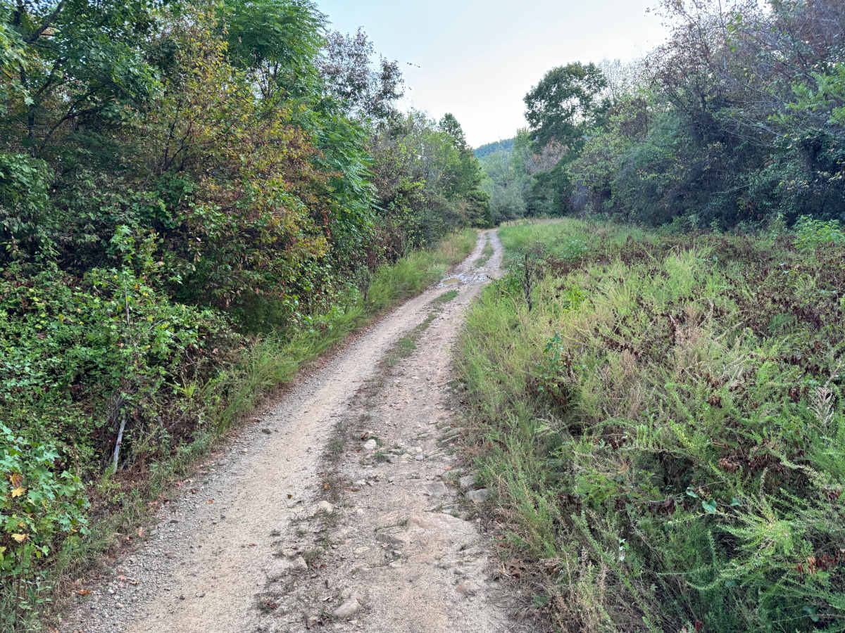
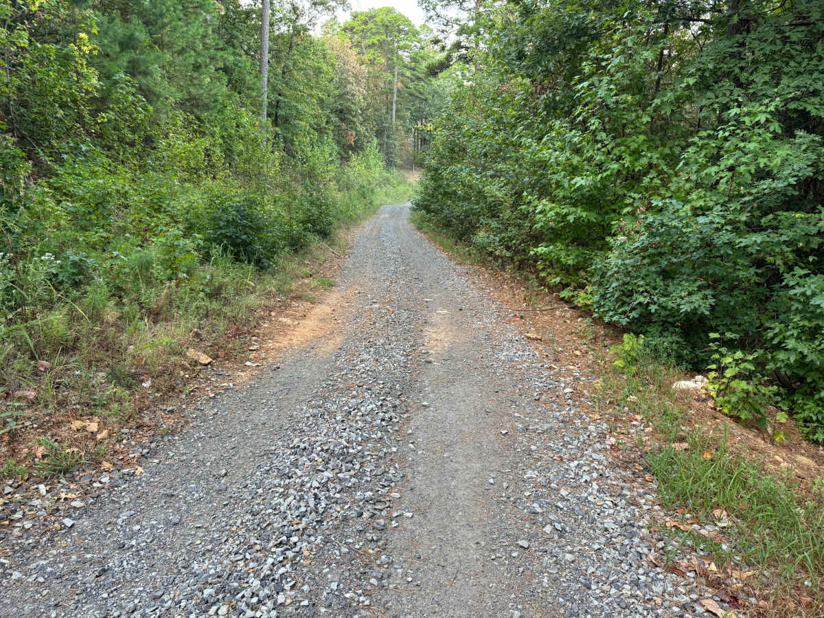
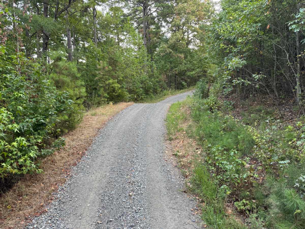
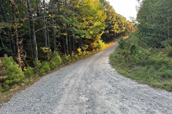
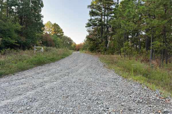
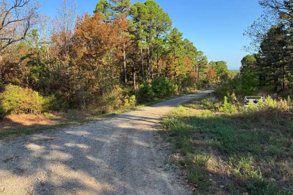
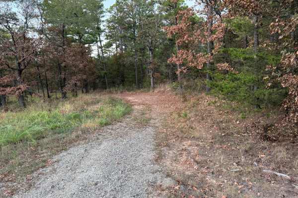
This route follows a mostly gravel-based forest road through rolling terrain surrounded by a mixture of mature pine and hardwood forest. The surface varies from relatively fresh, loose gray gravel to older sections where native dirt, scattered rock, and vegetation are beginning to show through. Several more open stretches are bordered by tall grasses and dense brush, while other portions pass beneath a thicker canopy of oaks, pines, and younger trees. The roadway is generally one vehicle wide, although occasional wider areas provide room for vehicles to pass. Several low areas collect substantial amounts of standing water after rainfall, with muddy edges and visible tire tracks through the puddles. The route gradually climbs and descends as it winds through the forest, with wildlife and fallen branches also possible along the way.
Difficulty
Whoops, bumps, slight grades, and large water-filled puddles create minor uneven terrain along the route. The puddles appear to have solid bases, with no major obstacles under normal conditions.
History
The Mount Magazine area has a long history of transportation, forestry, and recreation. During the Great Depression, federal programs including the Civilian Conservation Corps and Works Progress Administration developed roads and recreation infrastructure around the mountain. Cove Lake was constructed as part of the Mount Magazine land-use project and was completed in 1938, while CCC crews based at nearby Blue Mountain performed forestry work and improved roads throughout the area. Many of today's routes travel through the same national forest landscape that was extensively managed and developed during this period.

 Offroad