Trail Overview
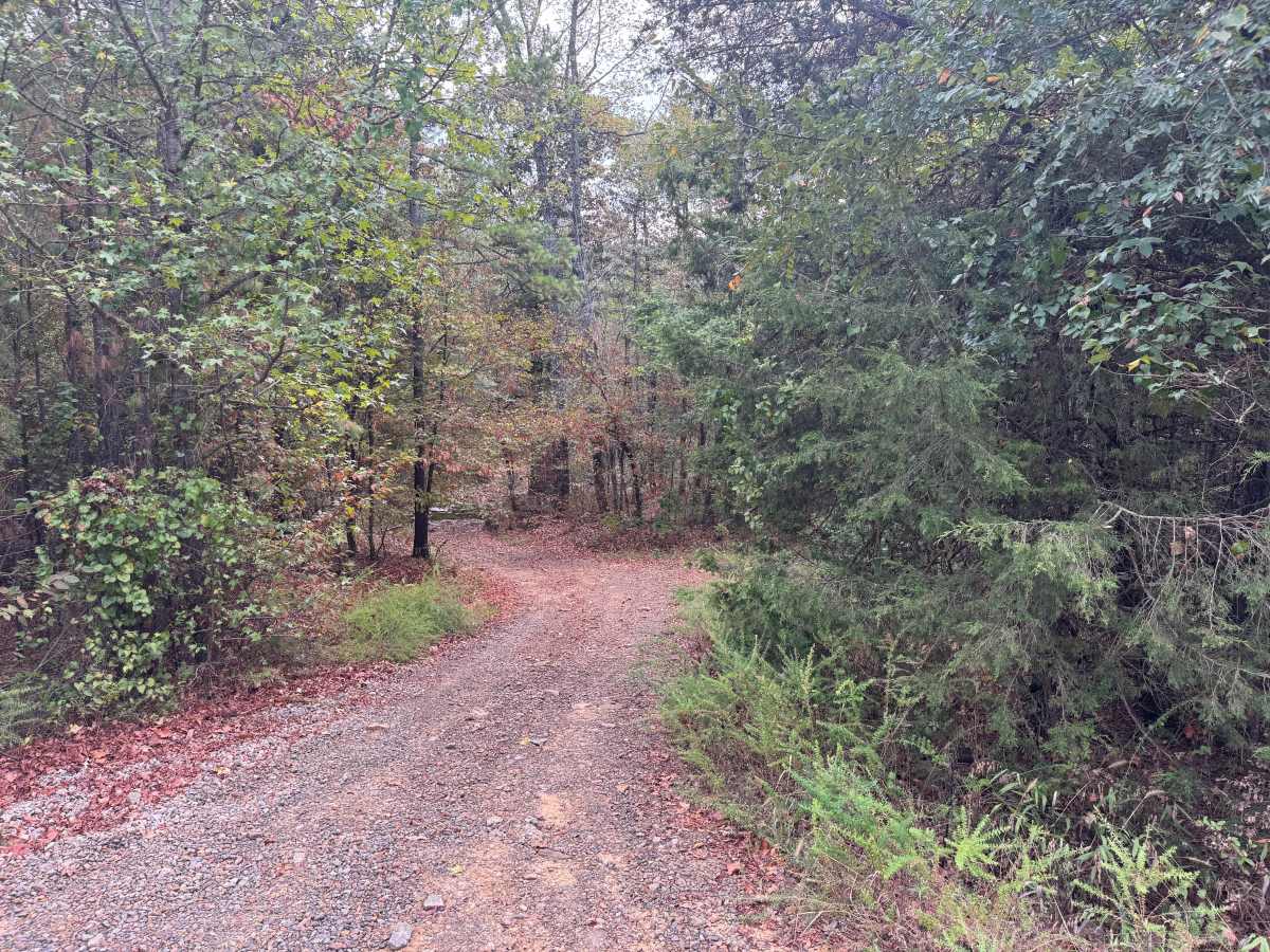
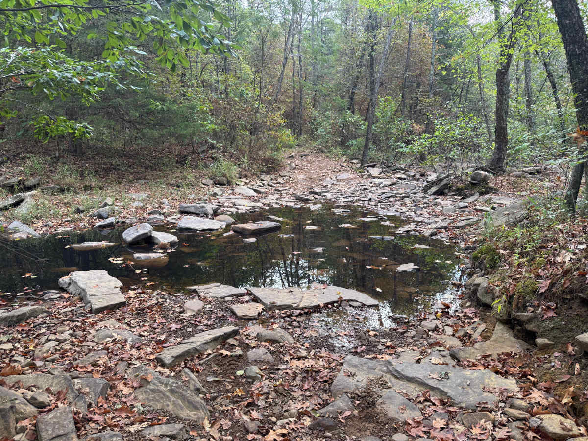
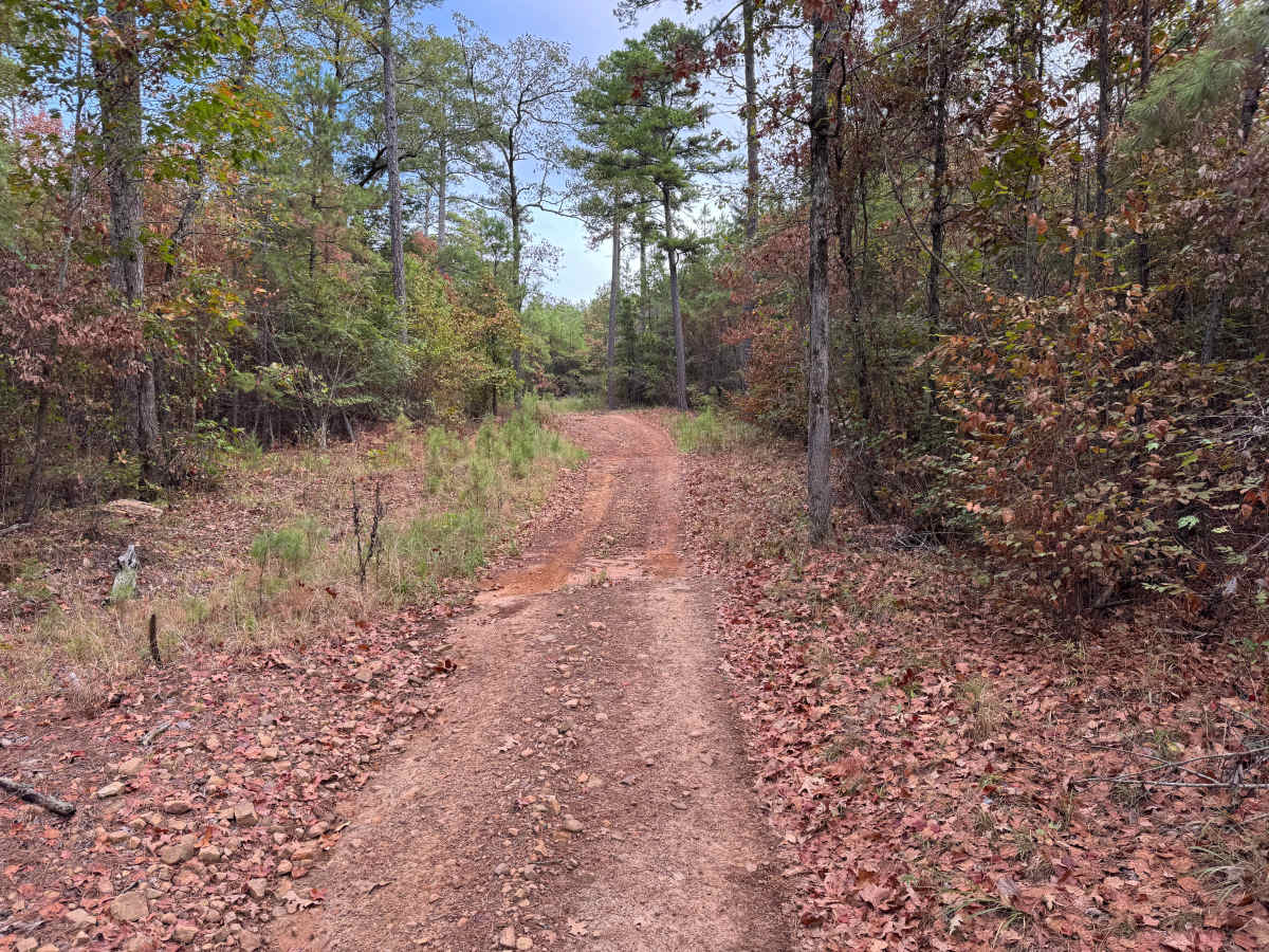
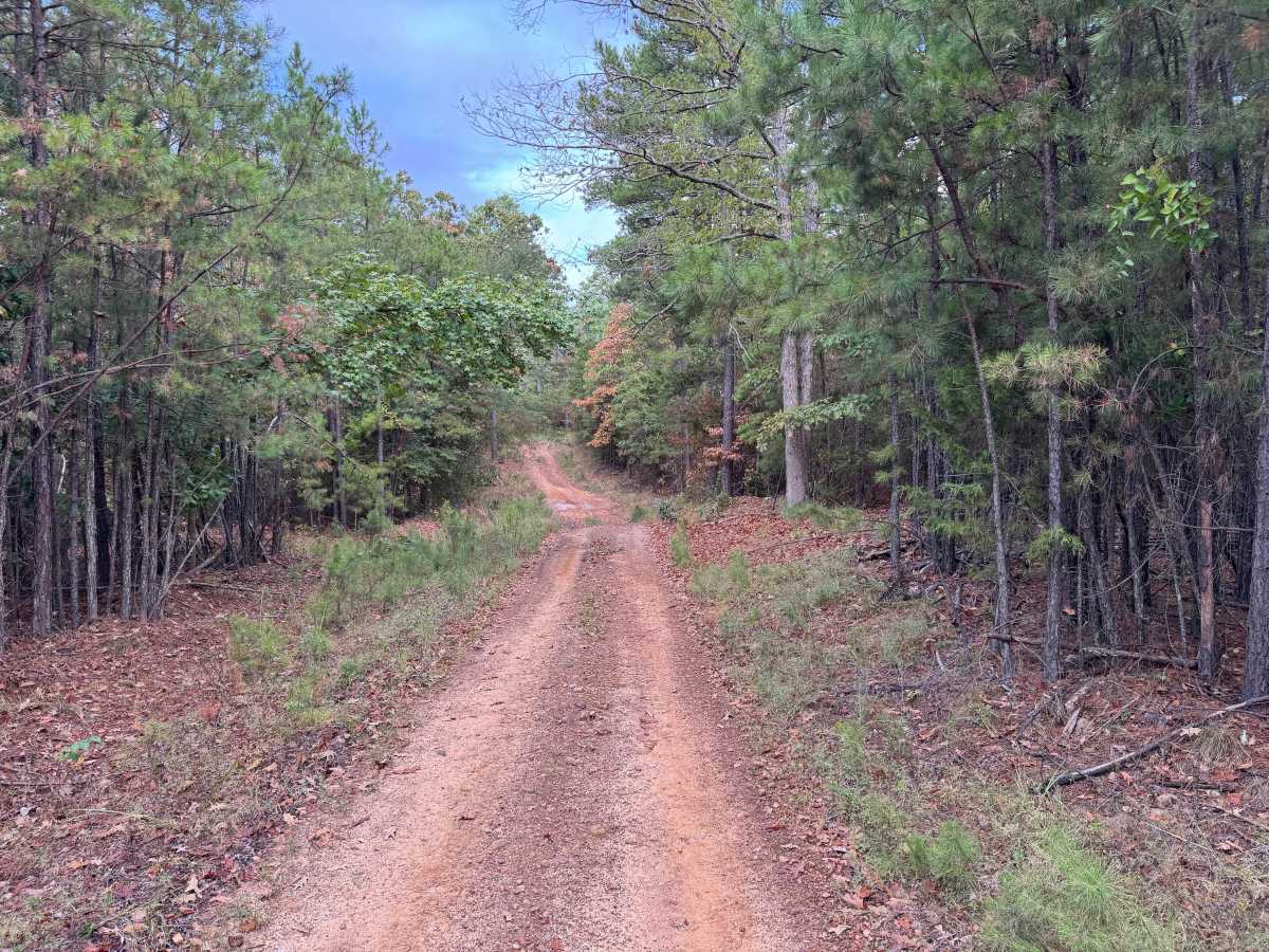
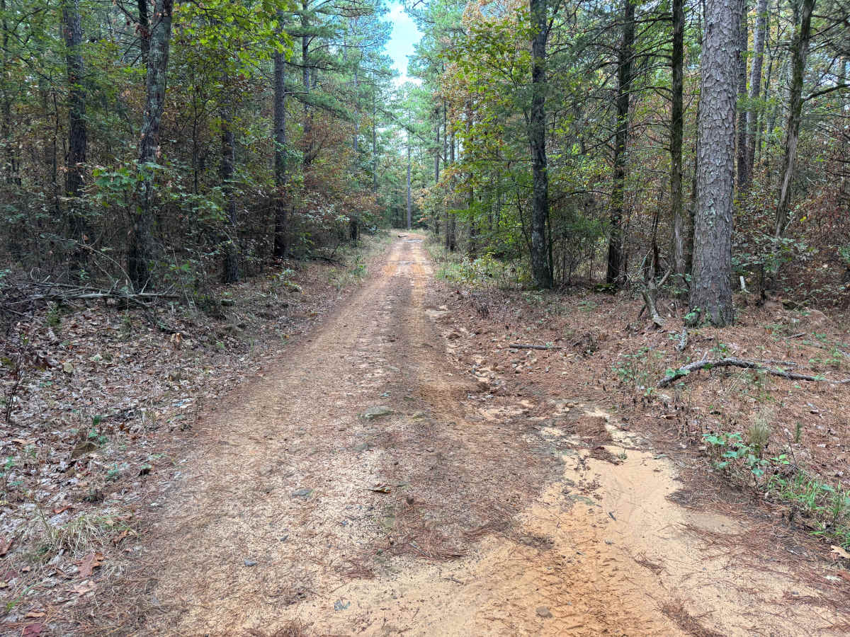
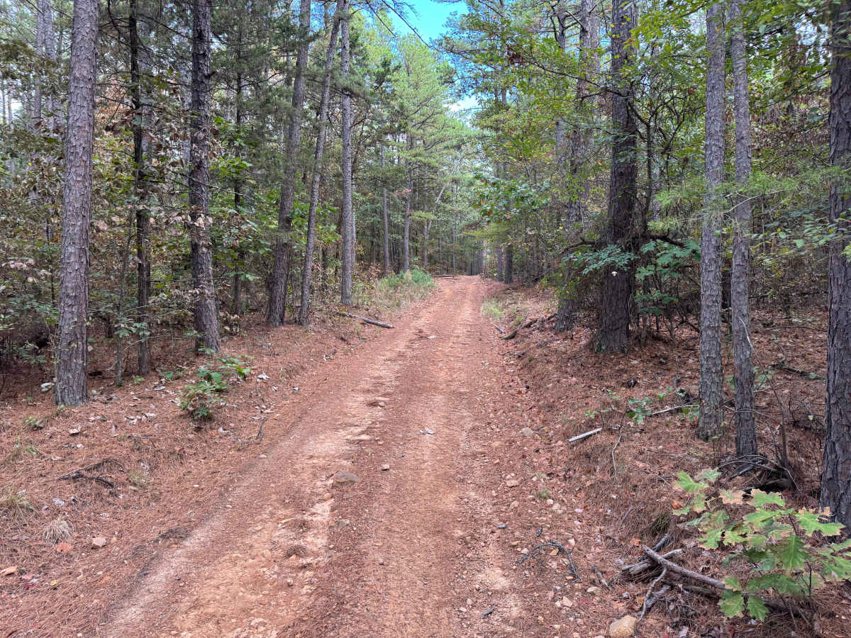
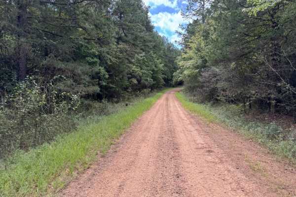
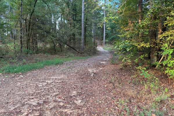
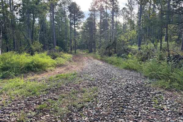
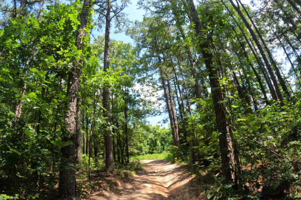
This route leaves Spring Lake Road and travels through a dense mixed forest of mature pines and hardwoods, with younger pines, shrubs, ferns, and other understory vegetation growing along the roadway. The surface transitions between gravel, native red dirt, scattered loose rock, and sections covered by fallen leaves and pine needles. The road is generally one vehicle wide, although there are occasional wider areas where vehicles can pull aside to allow opposing traffic to pass. If entering from Spring Lake Road, the route reaches a creek crossing almost immediately. The crossing has a broad, rocky creek bed with exposed slabs, cobble, and larger stones, and water levels will vary considerably depending on recent rainfall. Beyond the creek, the route continues through rolling forest terrain with several short rises and descents. Wildlife may also be encountered throughout the wooded corridor.
Difficulty
The rocky creek crossing, short bunny hills, and typical whoops and ruts create the primary challenges. Water depth at the creek can increase significantly following rainfall, while some hills may create clearance or breakover concerns for longer, lower vehicles.
History
The Mount Magazine area has a long history of transportation, forestry, and recreation. During the Great Depression, federal programs including the Civilian Conservation Corps and Works Progress Administration developed roads and recreation infrastructure around the mountain. Cove Lake was constructed as part of the Mount Magazine land-use project and was completed in 1938, while CCC crews based at nearby Blue Mountain performed forestry work and improved roads throughout the area. Many of today's routes travel through the same national forest landscape that was extensively managed and developed during this period.