Trail Overview
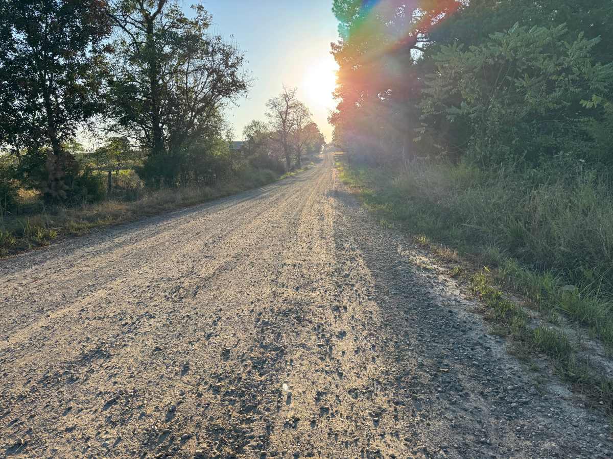
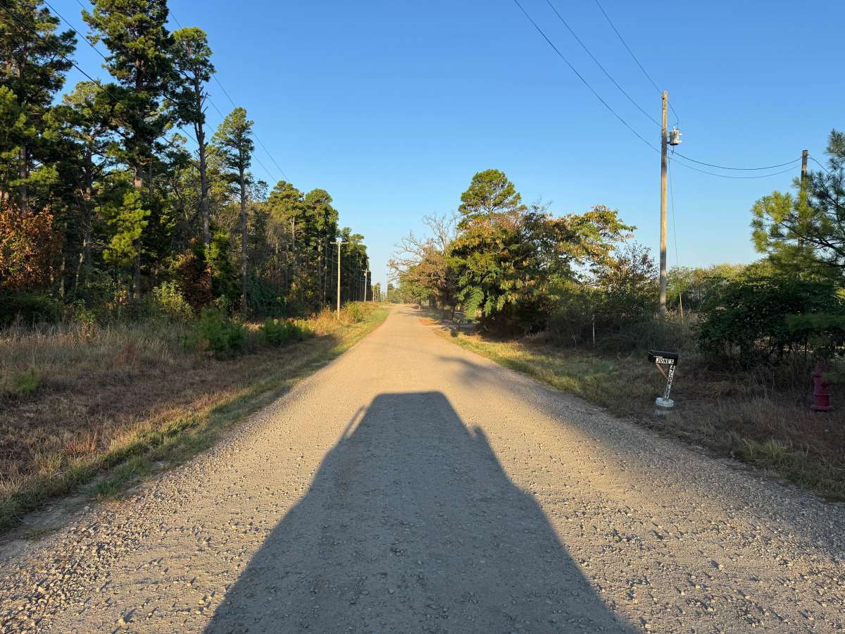
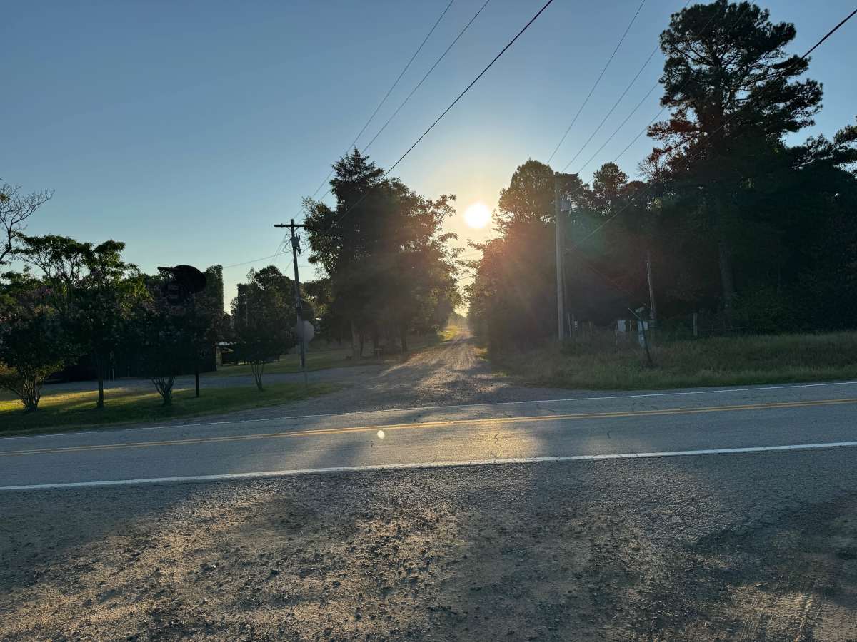
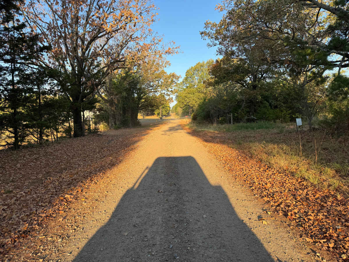
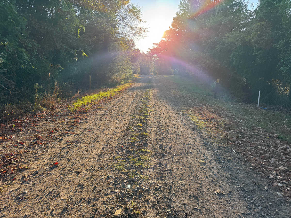
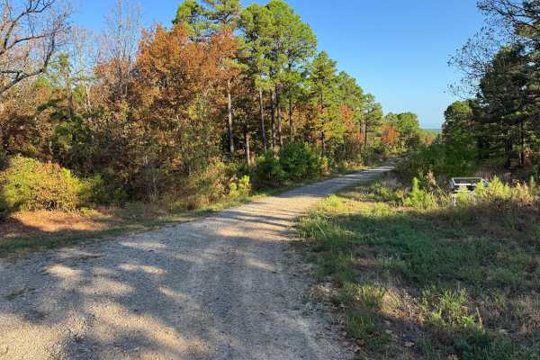
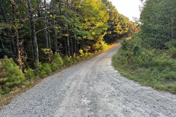
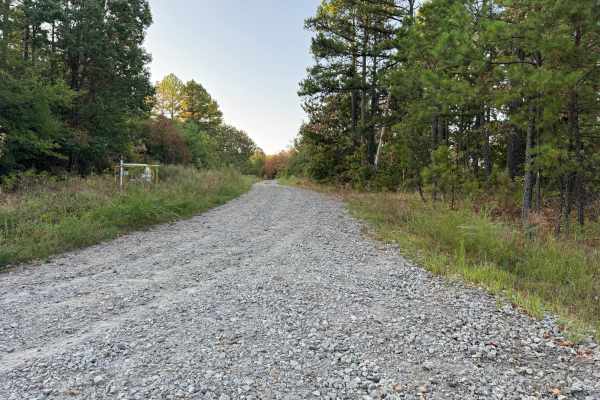
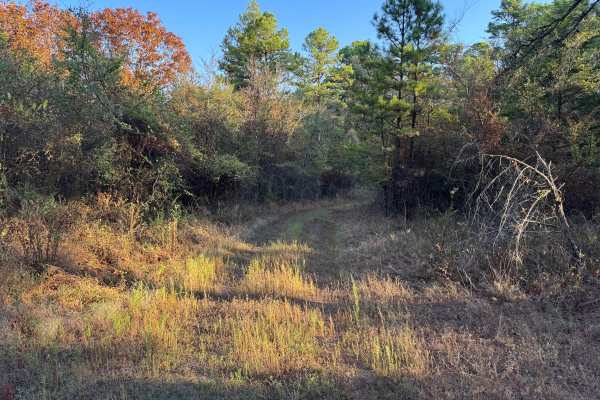
This route from Gutter Rock Road follows a maintained gravel road through a rural area along the northern side of Mount Magazine. The surface consists primarily of compacted gravel and native dirt with scattered loose stone, and the route is generally wide enough for two vehicles. The surroundings transition between wooded sections with mature pine and hardwood trees and more open areas bordered by grasses, brush, and scattered younger trees. Several residences, utility lines, driveways, fences, and other private properties are encountered along the route, so remain on the established route and respect property boundaries. Wildlife may cross the route at any time.
History
The Mount Magazine area has a long history of transportation, forestry and recreation. During the Great Depression, federal programs including the Civilian Conservation Corps and Works Progress Administration developed roads and recreation infrastructure around the mountain. Cove Lake was constructed as part of the Mount Magazine land-use project and was completed in 1938, while CCC crews based at nearby Blue Mountain performed forestry work and improved roads throughout the area. Many of today's routes travel through the same national forest landscape that was extensively managed and developed during this period.

 Offroad