Bayou Run

Total Miles1.8
Technical Rating
4Moderate
Best TimeSpring, Summer, Fall, Winter
Trail TypeFull-Width Road
Accessible By
Open Trail Map

Trail Overview

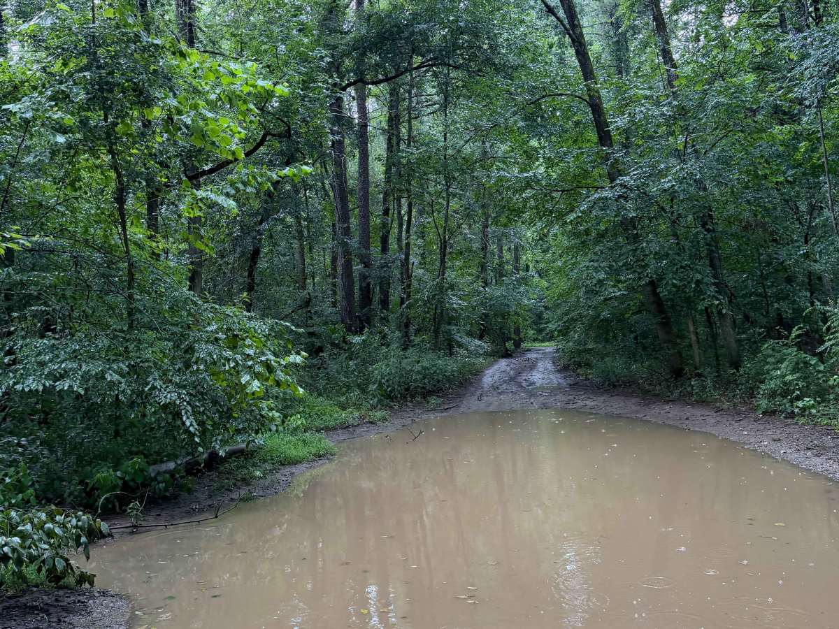
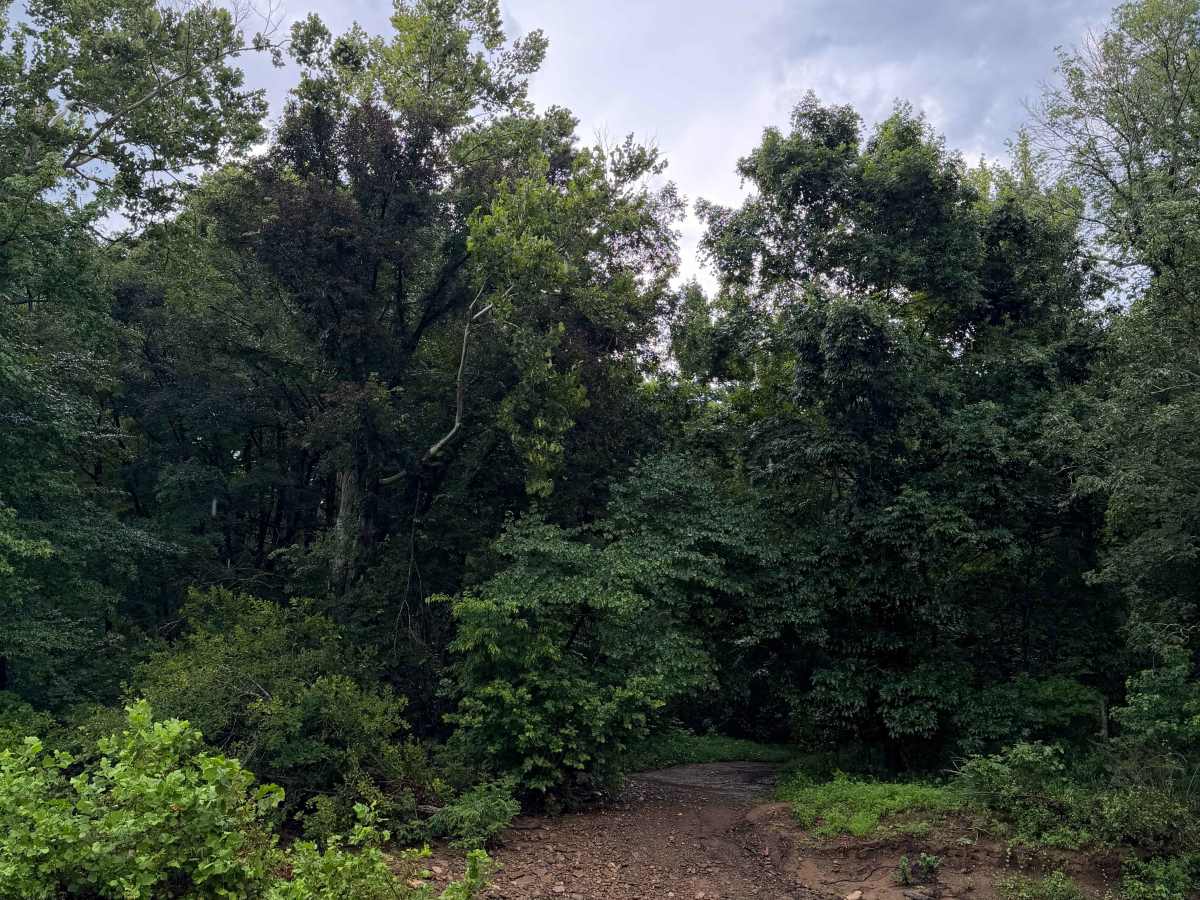
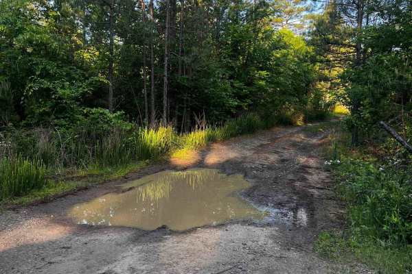
This trail can be run from the North end or South end. If you are running from the North end (Highly recommended), you will get off Highway 27 and find yourself in front of several mud holes that are all hard bottom. These mud holes can get deep depending on recent rain, so be sure to check water levels. As you keep heading south, you come up on some amazing camping areas close to the creek that could house several vehicles. Then you will have to cross the creek to get to the other side of the trail. Then, heading further south, you will come up on a lot of tree fall, mud holes that are hard bottom, rutted out areas, tight vegetation, and tight trees. This trail comes out to another trail that can take you back to White Oak Mountain Road, which also leads back to Highway 27.

Photos of Bayou Run

Difficulty

Some large mud holes can get deeper over time, as well as the large creek crossing with big rocks.

Technical Rating

4

Bayou Run Trail can be accessed by the following ride types:

  • Single Track
  • 50 Inch
  • 60 Inch
  • High Clearance
  • Full Width

Bayou Run Map

The onX Offroad Difference

onX Offroad combines trail photos, descriptions, difficulty ratings, width restrictions, seasonality, and more in a user-friendly interface. Available on all devices, with offline access and full compatibility with CarPlay and Android Auto. Discover what you're missing today!

Open Trail Map