Trail Overview
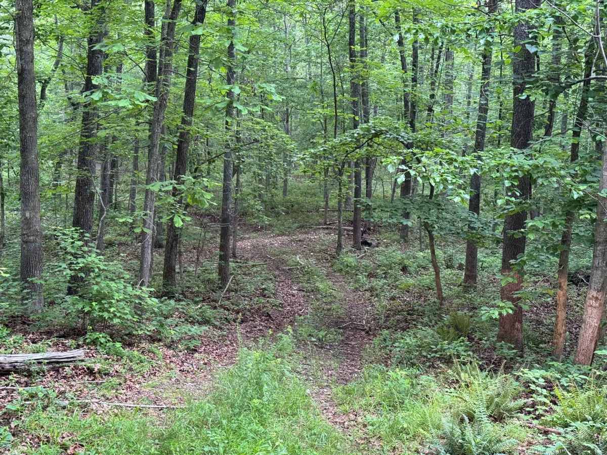
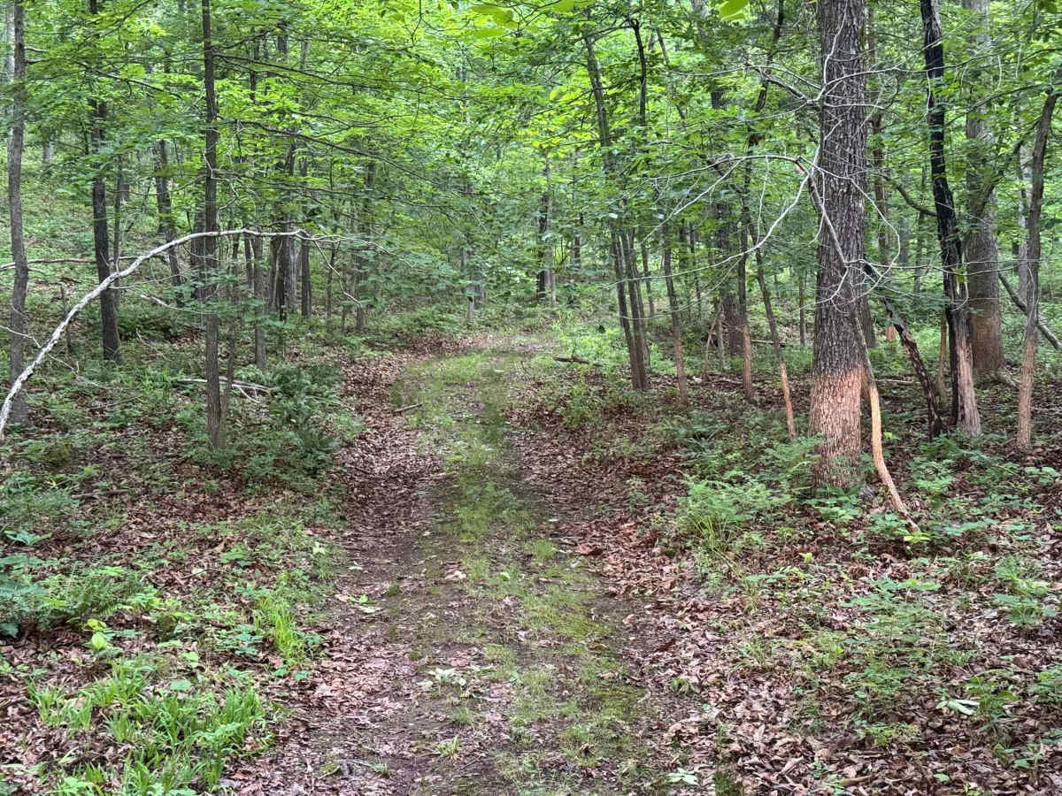
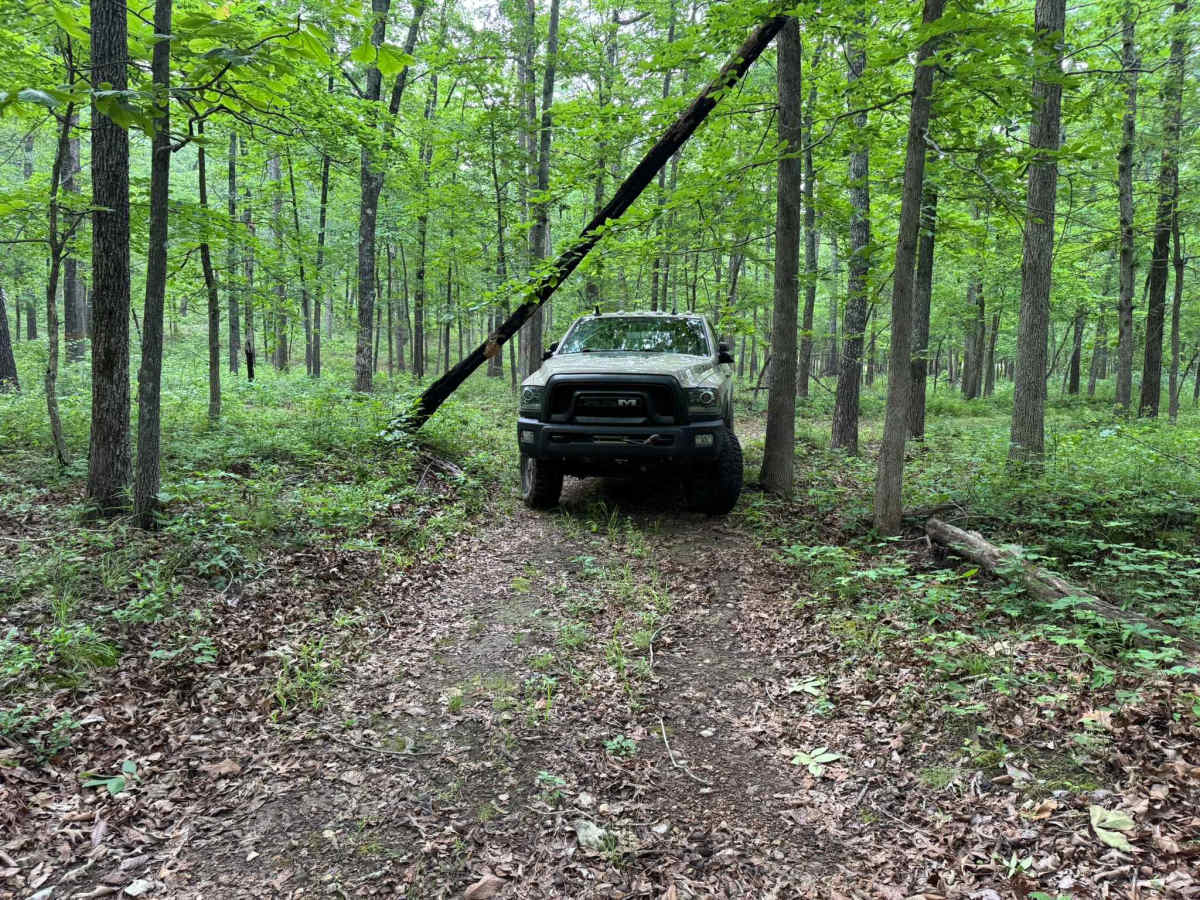
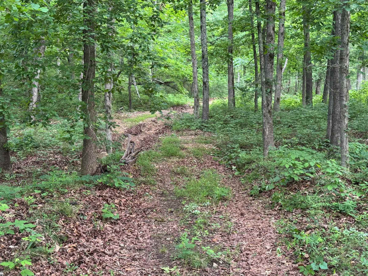
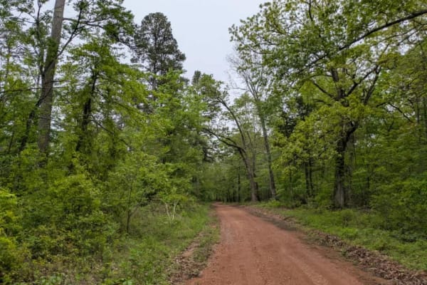
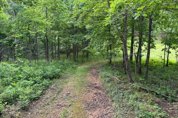
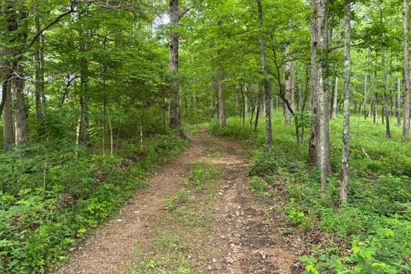
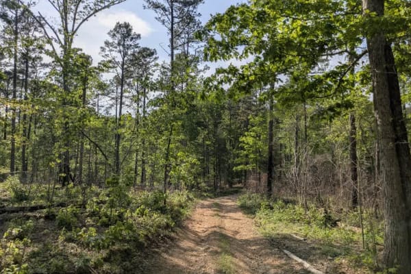
This trail begins with a very off-camber section that can quickly shift vehicle weight and traction, especially for wider or taller vehicles. The initial obstacle is the most technical part of the route, with deep erosion creating a narrow washout that can pull a tire down into the rut. Beyond that point, the trail continues as a narrow one-vehicle-wide route winding through dense hardwood forest with tight turns, overgrown edges, and scattered loose rock. Passing another vehicle would be difficult in several sections due to the limited width and thick vegetation lining both sides of the trail. Low hanging branches are common throughout the route and will likely cause pinstriping or scratches to vehicle paint. Drivers should also remain alert for downed trees or leaning timber that may partially block the trail and require careful navigation around them.
Difficulty
This trail starts with a significant off-camber section from erosion that can challenge vehicle stability and tire placement, especially for full-size trucks or less experienced drivers. Beyond that, the route remains narrow and heavily wooded with limited passing opportunities, low hanging branches can cause pinstripping or scratches. High-clearance 4x4 is recommended, and skid plates are beneficial due to the uneven rutted terrain.
History
The roads throughout this region were originally established for logging, mining, homestead access, and fire management long before recreational off-roading became popular. Portions of the surrounding Buffalo National River area contain deep ties to Ozark pioneer history, including old settlements, abandoned homesites, family cemeteries, and former mining operations dating back to the late 1800s and early 1900s. The nearby Rush Historic District was once one of the largest zinc mining communities in Arkansas during the early 20th century. Many of the ridge roads and hollows drivers travel today follow paths historically used by miners, loggers, ranchers, and local residents navigating the rugged Ozark terrain long before modern highways existed.