Trail Overview
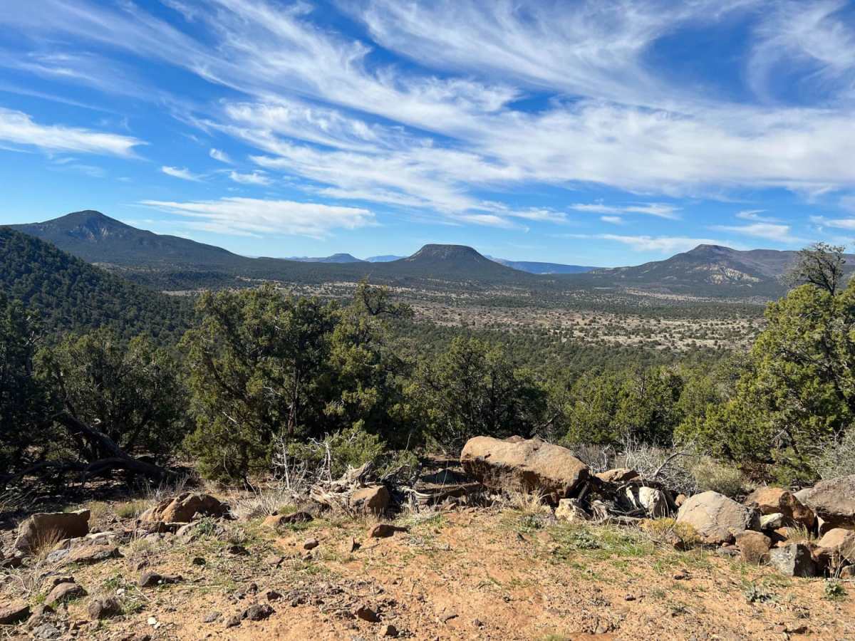
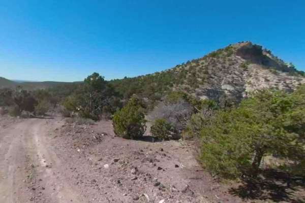
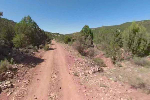
This 5.9-mile trail climbs across the scenic Wolf Hole Mountain on the remote Arizona Strip, reaching elevations between 5,188 and 6,266 feet. Branching off from the Mookac Trail roughly 4.5 miles from County Road 5, the route offers a rugged journey through a historic ranching region once home to a small, early-20th-century pioneer community.
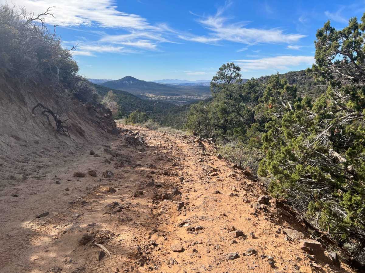
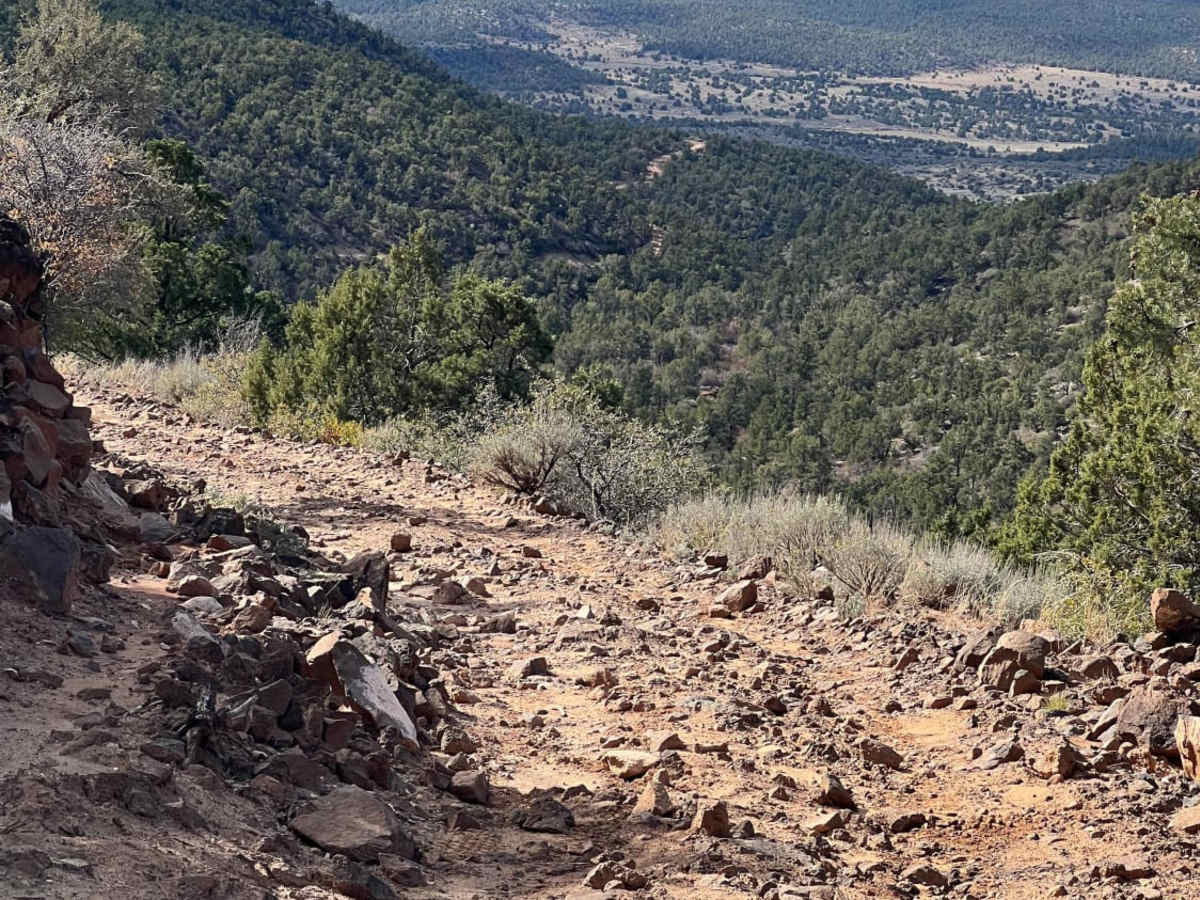
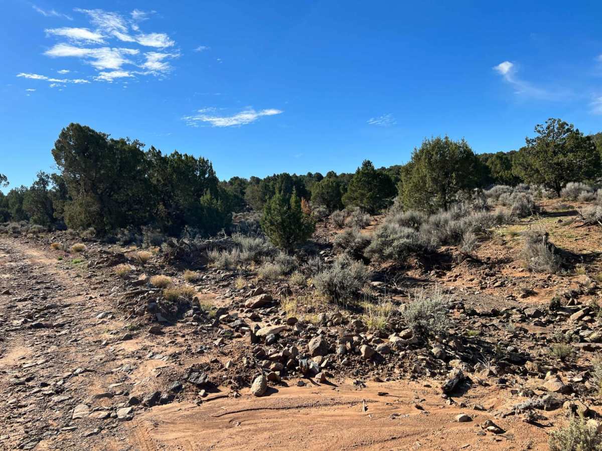
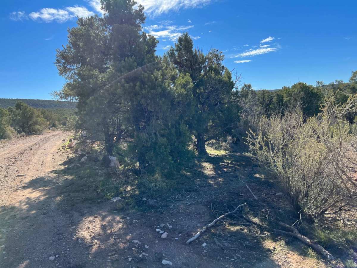
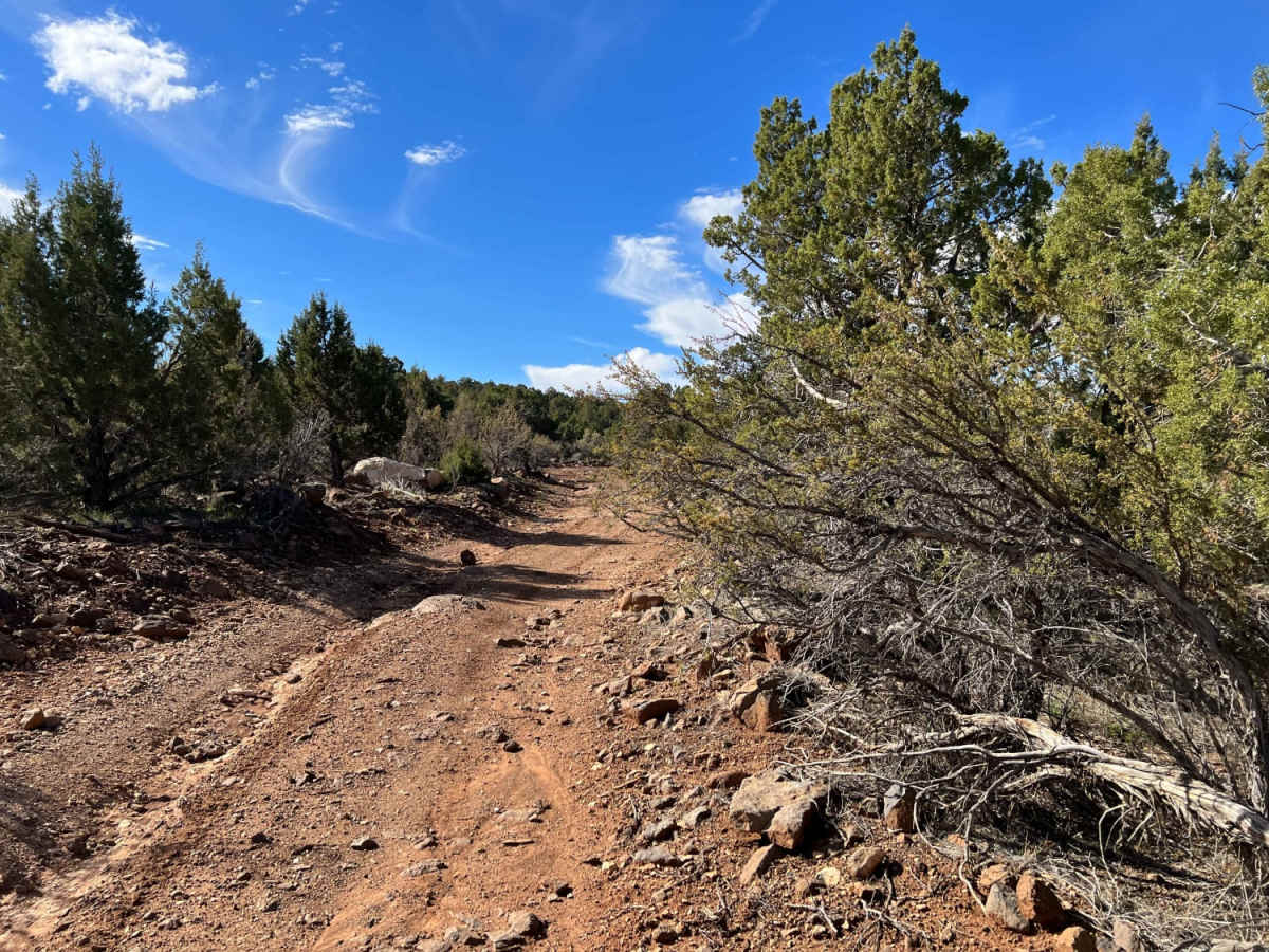
The route features a mix of rocky terrain and dirt paths that become slick, impassable clay mud during wet weather. A narrow, steeper section on the southern end presents tight, challenging corners that are difficult for vehicles longer than a standard Jeep or side-by-side. Travelers should be prepared for extremely remote backcountry conditions, as this high-elevation trail can become snowbound in the winter and has no cell service or potable water.
Difficulty
This is a rocky trail with a narrow, steeper section on the southern end. In that narrow stretch of trail, some corners are extremely difficult for vehicles longer than a standard Jeep or SxS. This is a high trail that can become snowbound in the winter. In the dirt areas, rain will turn the ground to clay-based mud.
History
The Wolf Hole area was a small ranching and farming community established in the late 1800s and early 1900s as pioneers expanded into the Arizona Strip. Major John Wesley Powell named the area, reportedly misinterpreting the Southern Paiute name for the local water source, "Coyote Spring," as "Wolf Hole." As the local ranching population grew in the early 20th century, the community established a small general store and a post office, which operated from 1917 to 1928. The original townsite was located in the valley north of the intersection of County Road 5 and Black Rock Road, though no original structures remain today.
Acclaimed environmental author and essayist Edward Abbey, known for *Desert Solitaire* and his advocacy for public lands, famously claimed residency in Wolf Hole, writing it as his home address on various documents and using it as a symbol of the remote American West.
Access Description
The route is located on Bureau of Land Management (BLM) lands within the Arizona Strip. No permits or fees are required for standard off-road driving. The area is extremely remote with no cell service, potable water, or fuel services, requiring travelers to carry self-recovery gear, spare tires, extra fuel, and abundant water. Wet conditions make the clay-based dirt roads impassable.

 Offroad