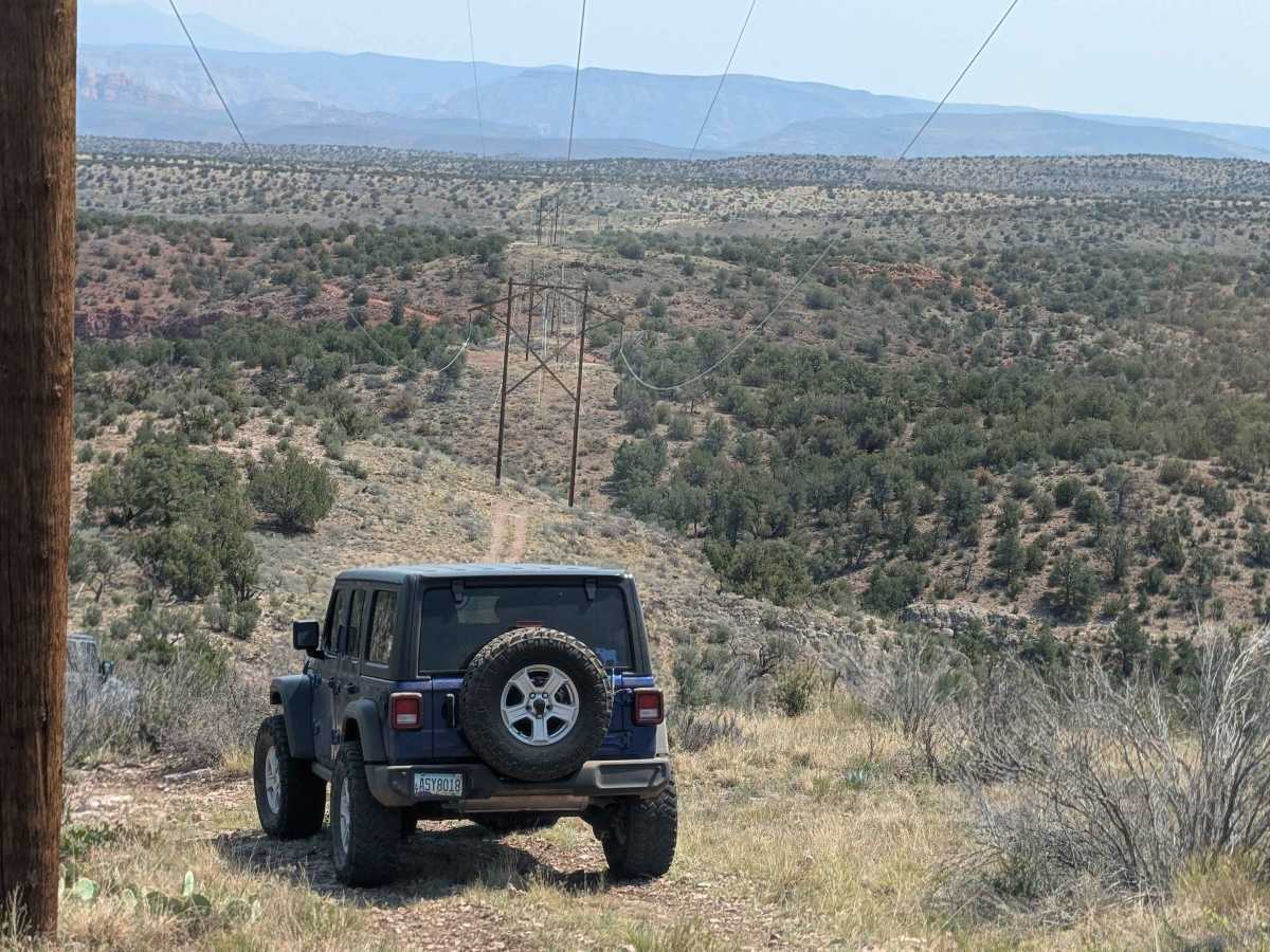
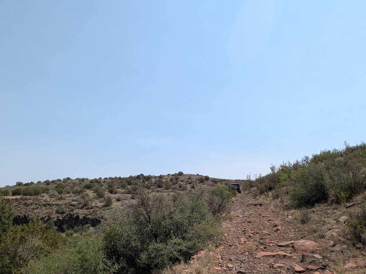
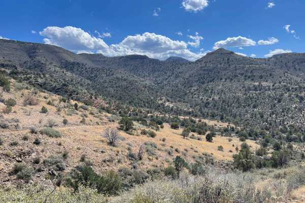
Trail Overview
Wireline Way is a fun, scenic trail that, as its name implies, follows the power lines from the Woodchute Mountain/Smiley Rock Connector to the Smiley Rock Trail, about four miles outside of Jerome. You can drive it in either direction, but most people prefer going west to east. The trail sits entirely within Prescott National Forest and offers a nice mix of terrain—dry washes, rolling hills, and a steady climb toward higher elevations near the end. While it’s considered an easy route, there are enough rocks, dips, and climbs to keep things interesting. The rocky ground actually gives good traction, and a stock Wrangler without lockers can comfortably handle the drive. The scenery is one of the highlights here. Along the way, you’ll spot distant mountain ranges to the north and clear overlooks of the historic mining town of Jerome to the southeast. It’s definitely worth bringing a camera to capture the views. Wildlife spotting is another perk. Coyotes, bobcats, mule deer, javelina, cottontail rabbits, raccoons—and sometimes even mountain lions—have all been seen in the area. Vegetation is just as diverse, featuring oak and juniper woodlands, manzanita bushes, creosote, cottonwoods in wetter areas, as well as prickly pear cacti and seasonal wildflowers. The trail also has dispersed camping opportunities within 300 feet of the road, and, surprisingly for a forest road, cell service is fairly reliable in many places. No permits or fees are required, and it’s open year-round. Just keep in mind that mountain weather can be unpredictable. Afternoon storms are common, and rain can quickly change road conditions, especially in the washes. And please be sure to close the gates behind you. In short, Wireline Way is an enjoyable trail with great views, varied terrain, and a real sense of being out in nature—without being overly difficult. It’s a solid choice whether you’re exploring for the day or looking for a scenic camping spot.