Trail Overview
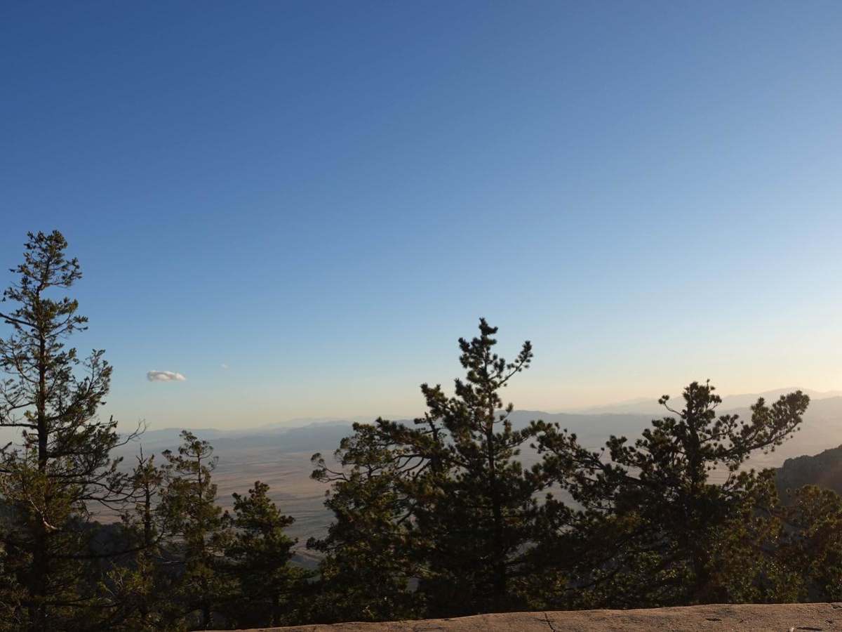
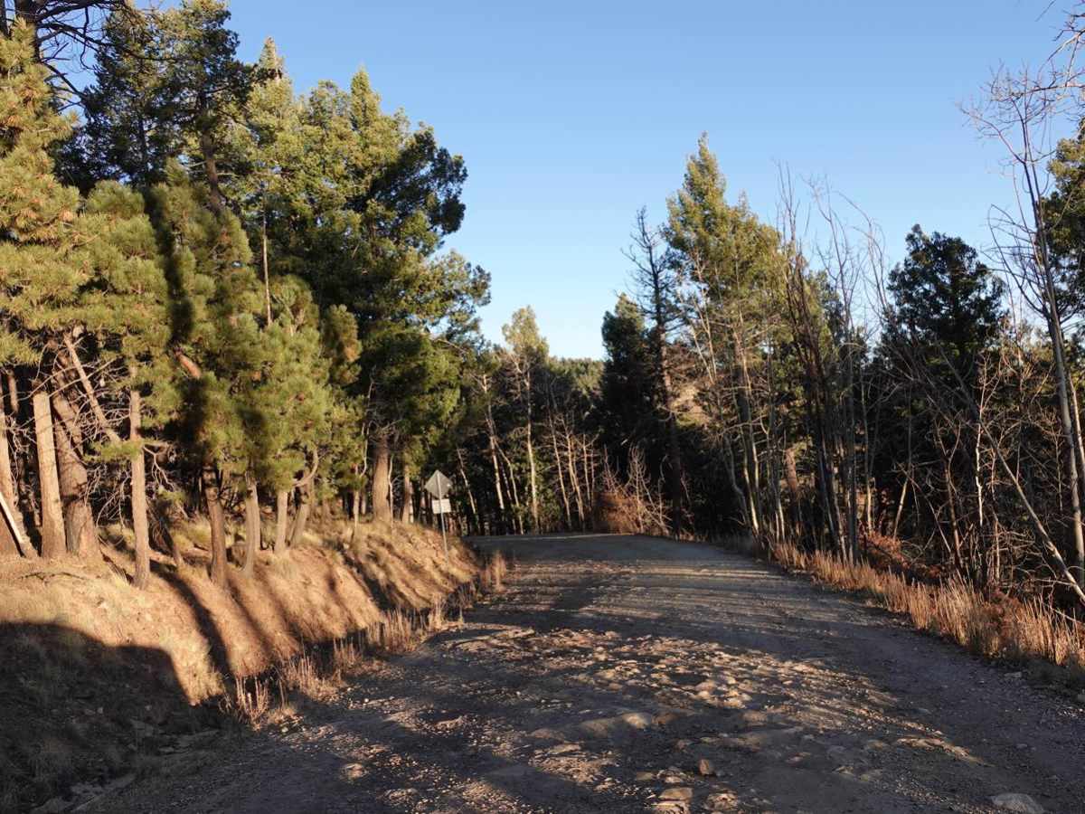
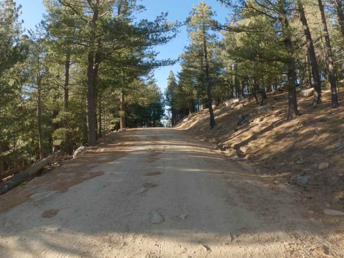
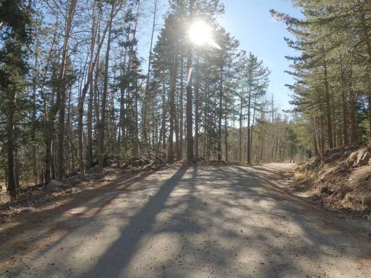
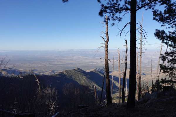
West Swift Trail 366 is an inviting, scenic route perfect for families, stock SUVs, and SxSs looking to explore the rugged beauty of the Pinaleño Mountains without tackling high-difficulty obstacles. Spanning approximately 6.6 miles, this rough dirt and gravel road winds up towards Clark Peak, climbing to a maximum elevation of 9,620 feet. Most stock sport utility vehicles can navigate the trail in two-wheel drive under dry, favorable conditions, making it accessible to a wide range of outdoor enthusiasts. However, inclement weather such as rain or snow can quickly transform this shelf road, introducing slick mud, deep potholes, and challenging ruts that may necessitate four-wheel-drive and higher clearance. Drivers will encounter moderate elevation changes, with around 677 feet of cumulative gain and 1,012 feet of loss, along with several wide shelf sections that offer stunning, sweeping views of the desert floor far below.
Along the route, several offshoots lead to popular hiking trailheads and secondary off-road trails, providing excellent opportunities for side trips and exploration. The road eventually terminates near the Columbine public camping area, which serves as a gateway to more challenging routes like the Old Columbine off-road trail for those seeking a more technical driving experience. Given the high-elevation environment, the trail is best visited from late spring through autumn, as winter snows can make the upper sections impassable or significantly more hazardous. Offroaders should ensure their vehicles are fully prepared and fueled before leaving Safford, as no services, water, or fuel are available once you ascend into the mountains.