Trail Overview
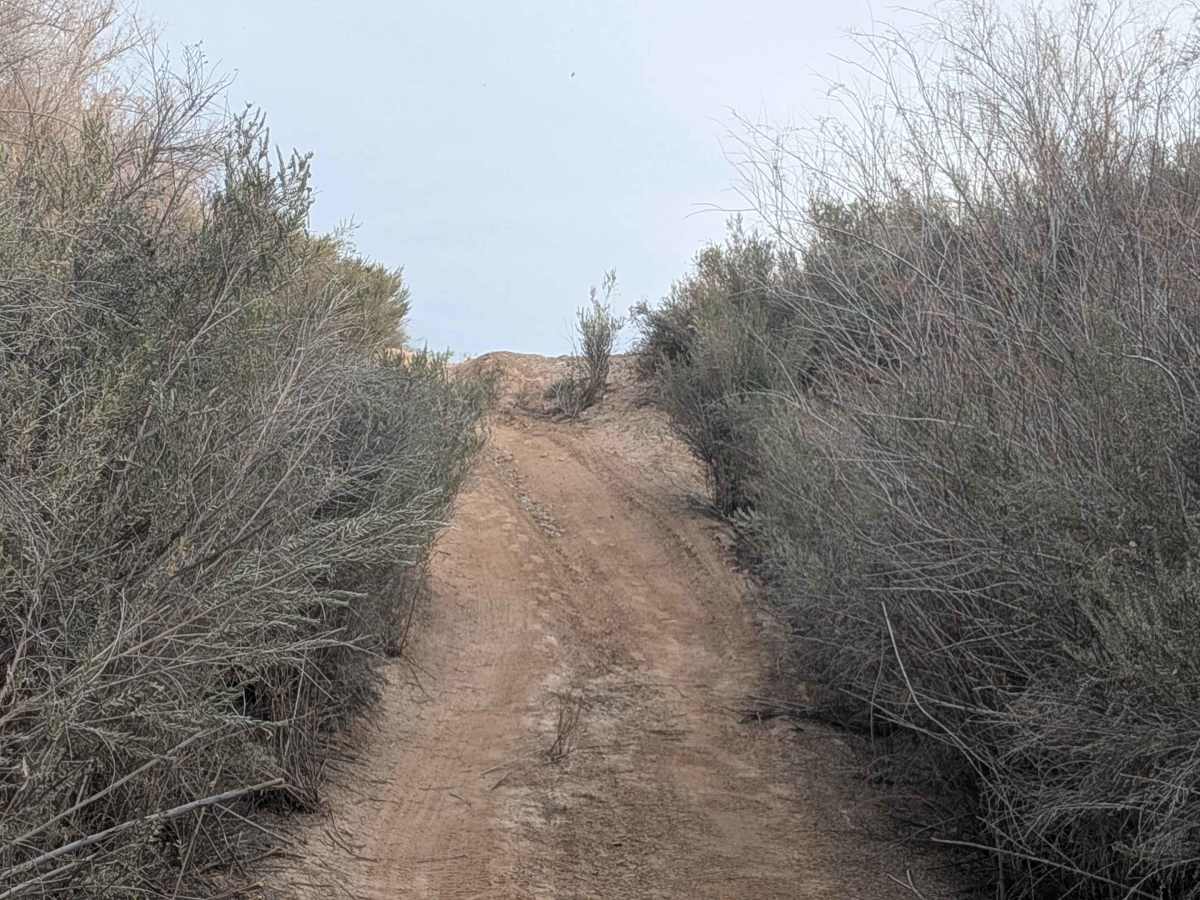
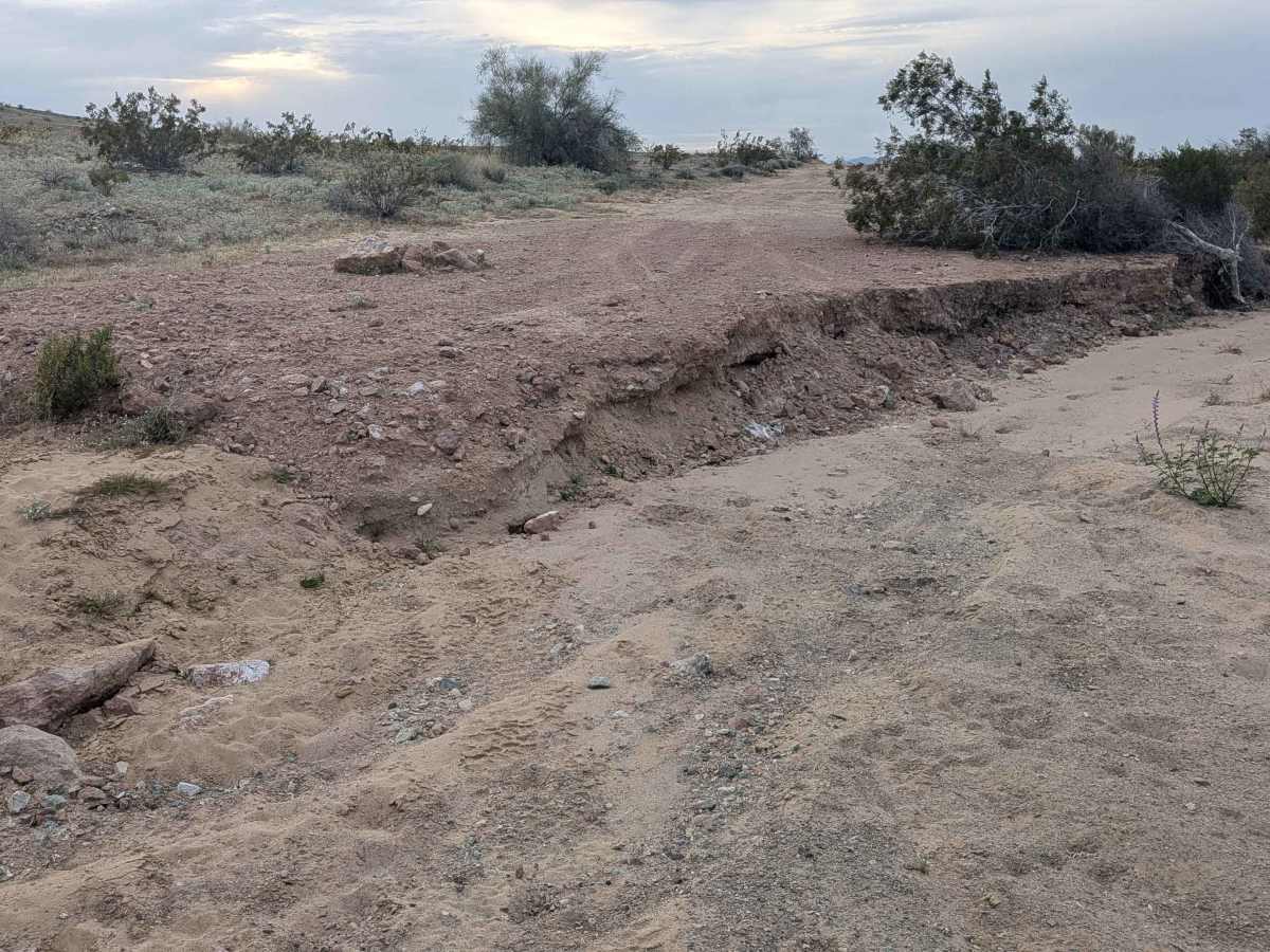
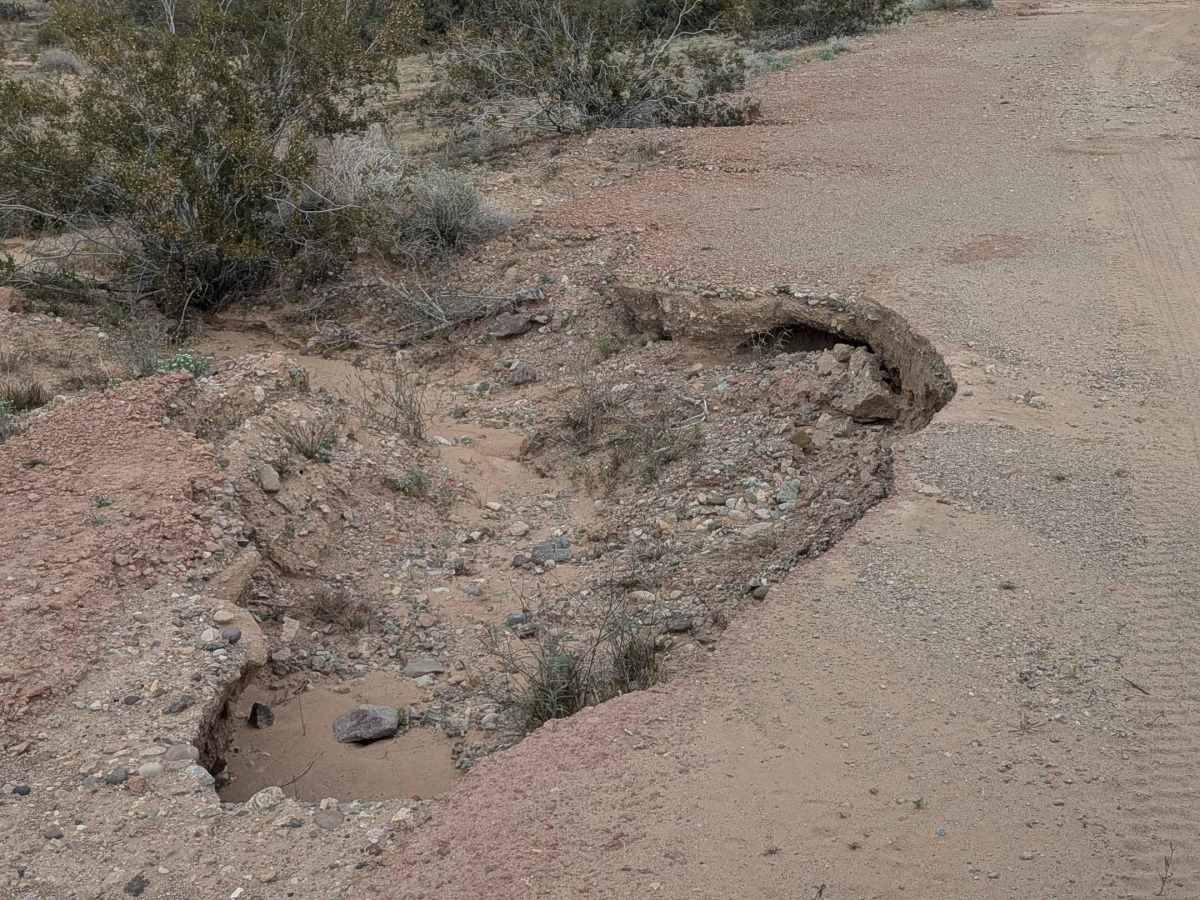
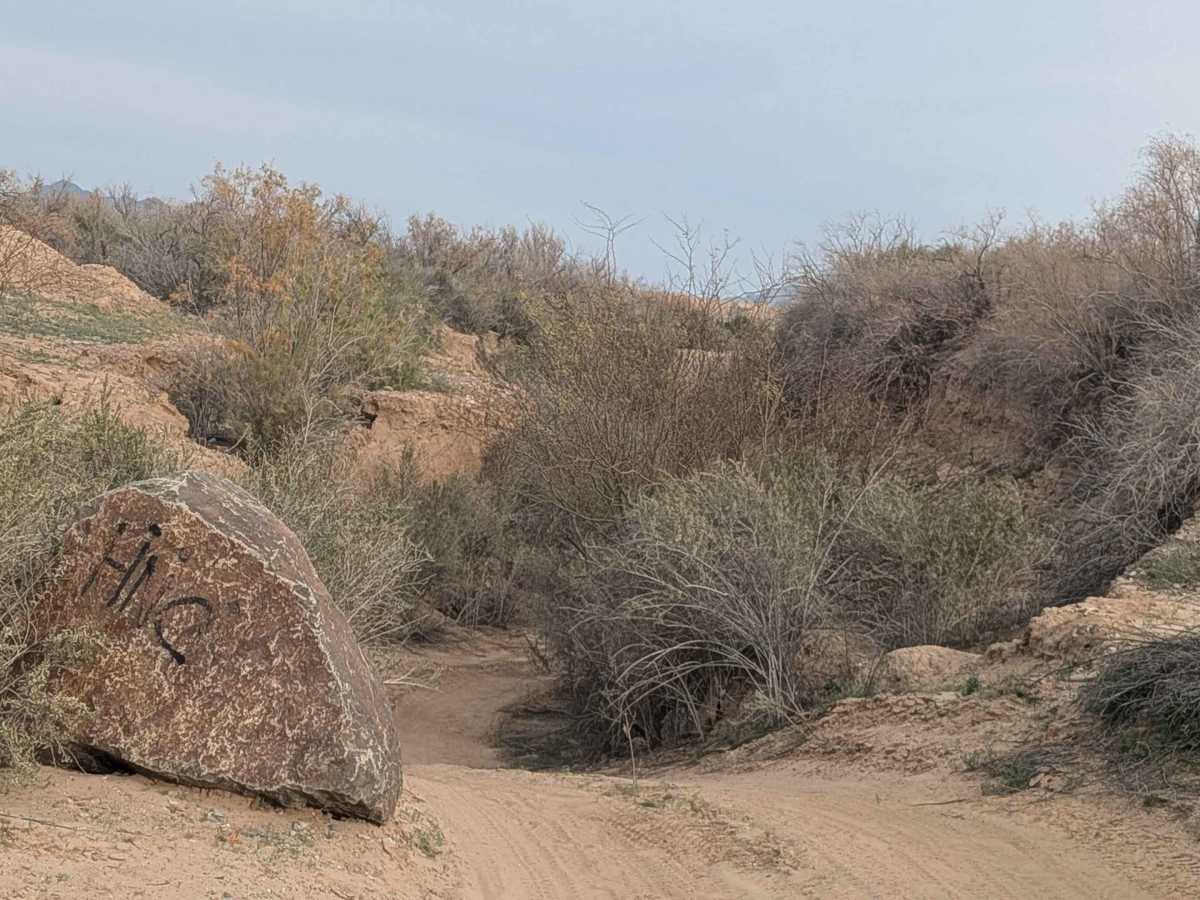
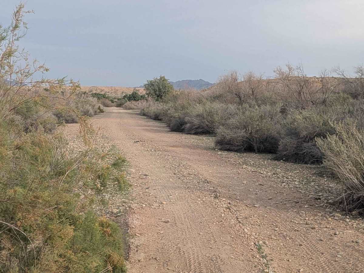
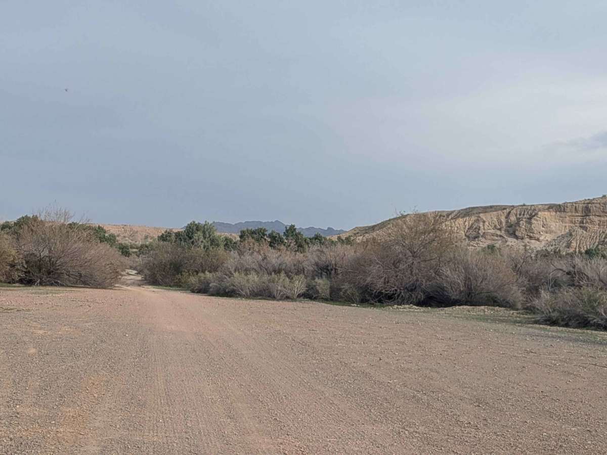
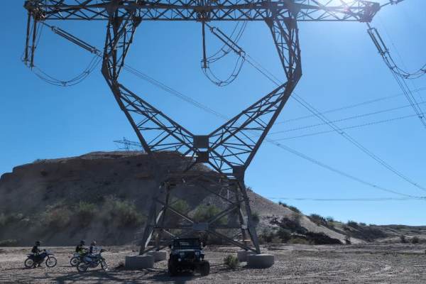
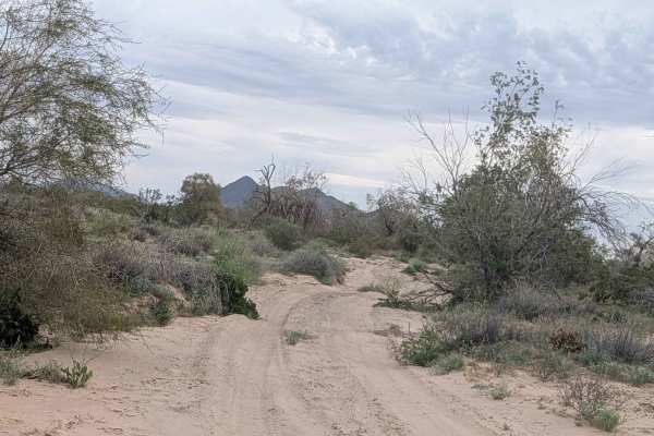
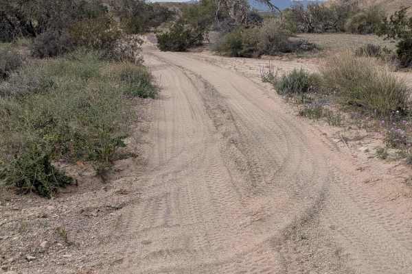
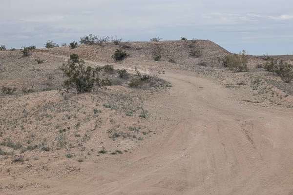
This is just over a 5-mile trail (10 miles out and back) that climbs 377 feet, starting on Levee Road and dropping quickly into a tight wash that's completely lined with brush. The surface is hard-packed sand with a little gravel, alternating between light, soft sand and dark red rocks as you progress. Keep an eye out for wild mustangs and white-tailed deer that frequent this area. The trail opens up to an open area that was used for storing construction rocks, then closes up again as it continues. After a mile, the wash opens up and becomes wider, giving you more room to navigate. The trail cuts in and out of the Trigo Wash with some off-camber sections scattered throughout. Be cautious of big holes on the sides of the road that can catch you off guard. WARNING: There is a bypass 0.7 miles from the end because of a 2+ foot drop-off, so use caution in this section. The trail ends at the Yuma Proving Grounds boundary.
Difficulty
The tight wash at the beginning requires careful navigation, especially where it's lined with brush. The soft sand sections demand Four Wheel Drive and good momentum management. The off-camber sections and alternating surfaces keep you adjusting your approach. The big holes along the sides are hazards to avoid. WARNING: There is a 2-foot drop-off near the end, which is significant, making the bypass necessary for most vehicles.