Trail Overview
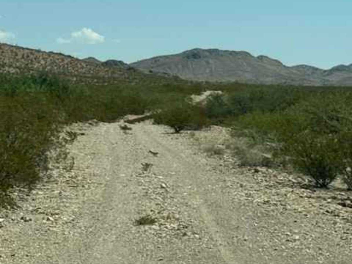
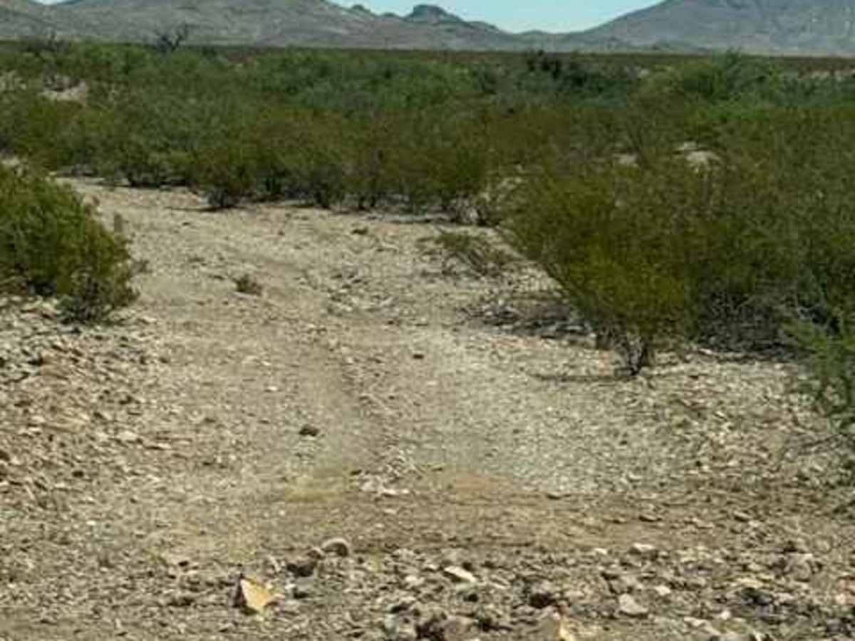
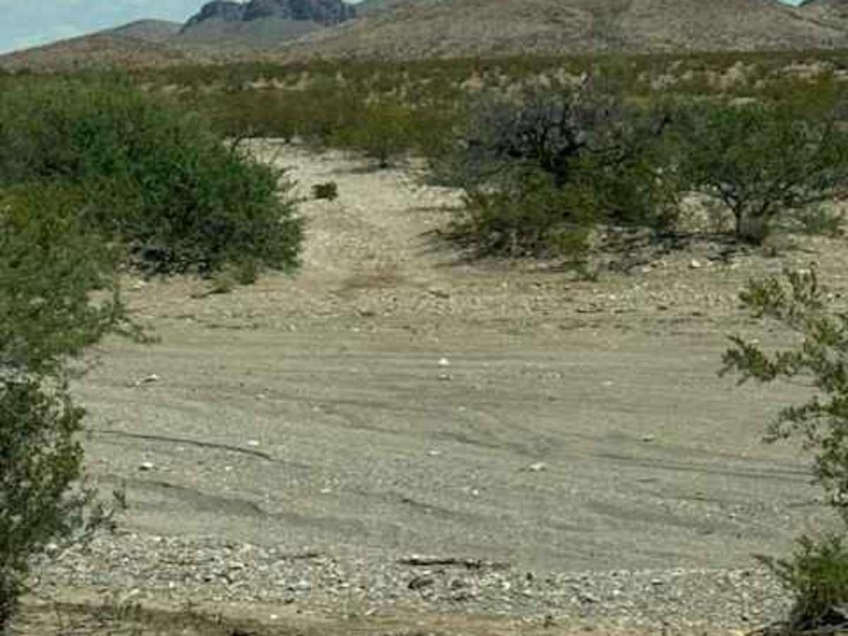
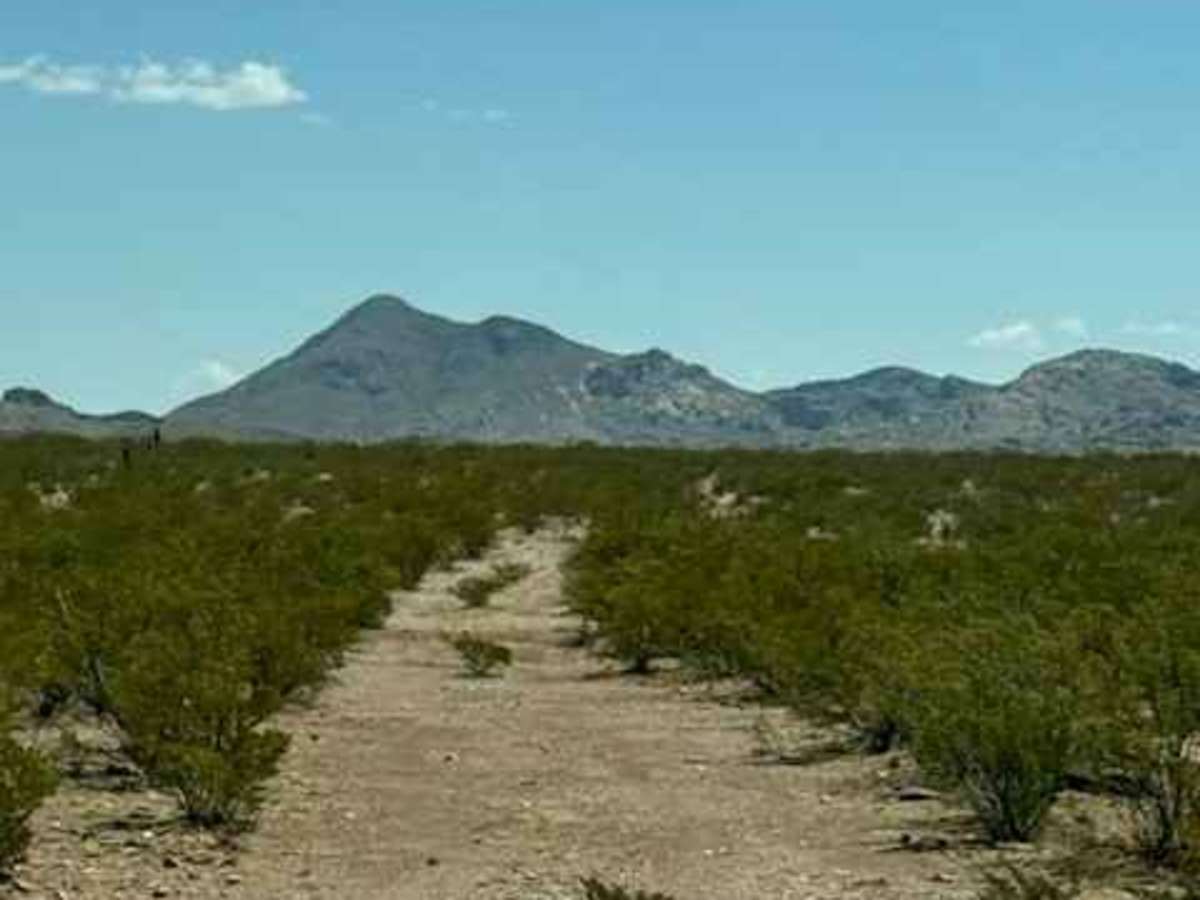
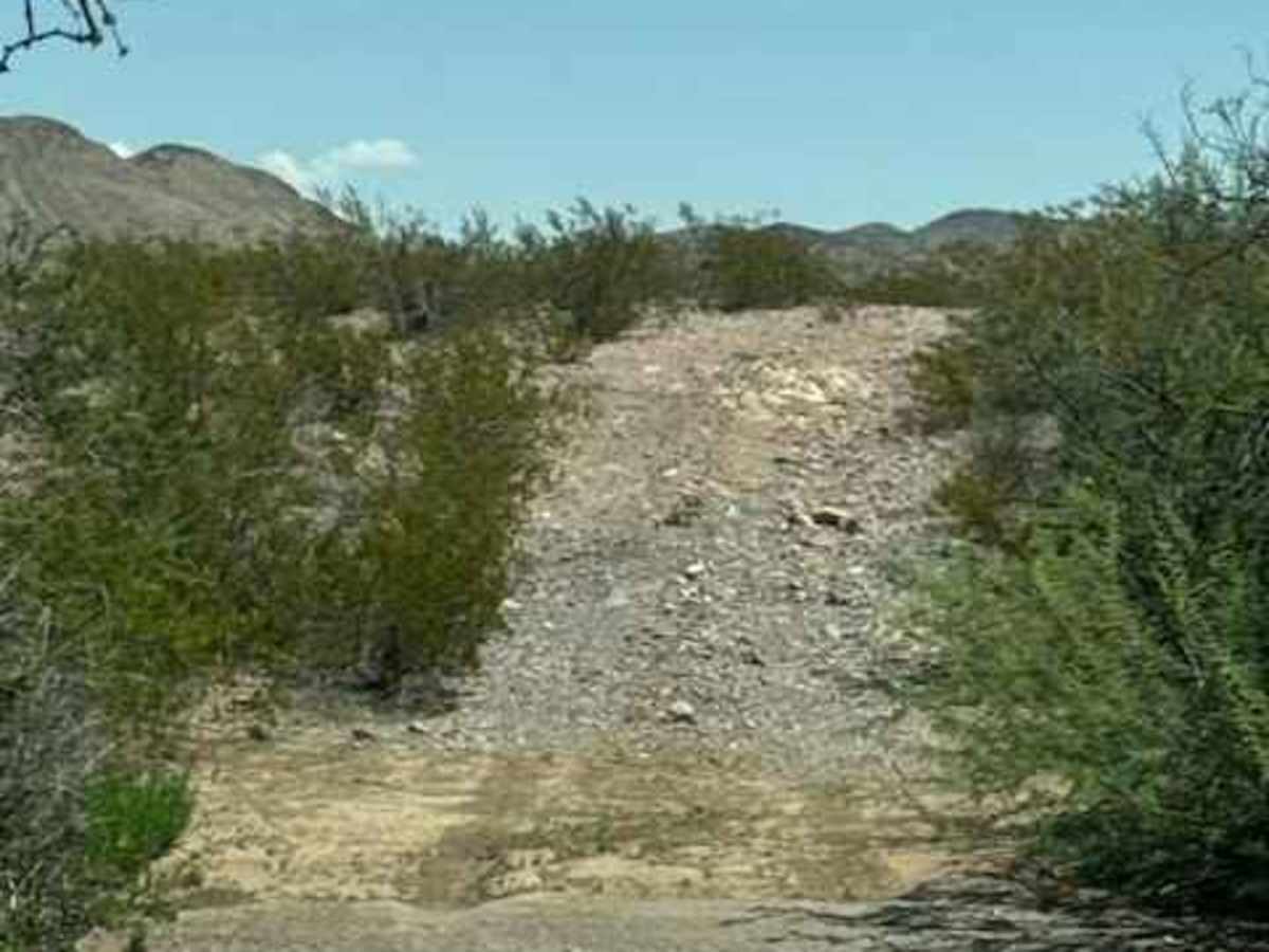
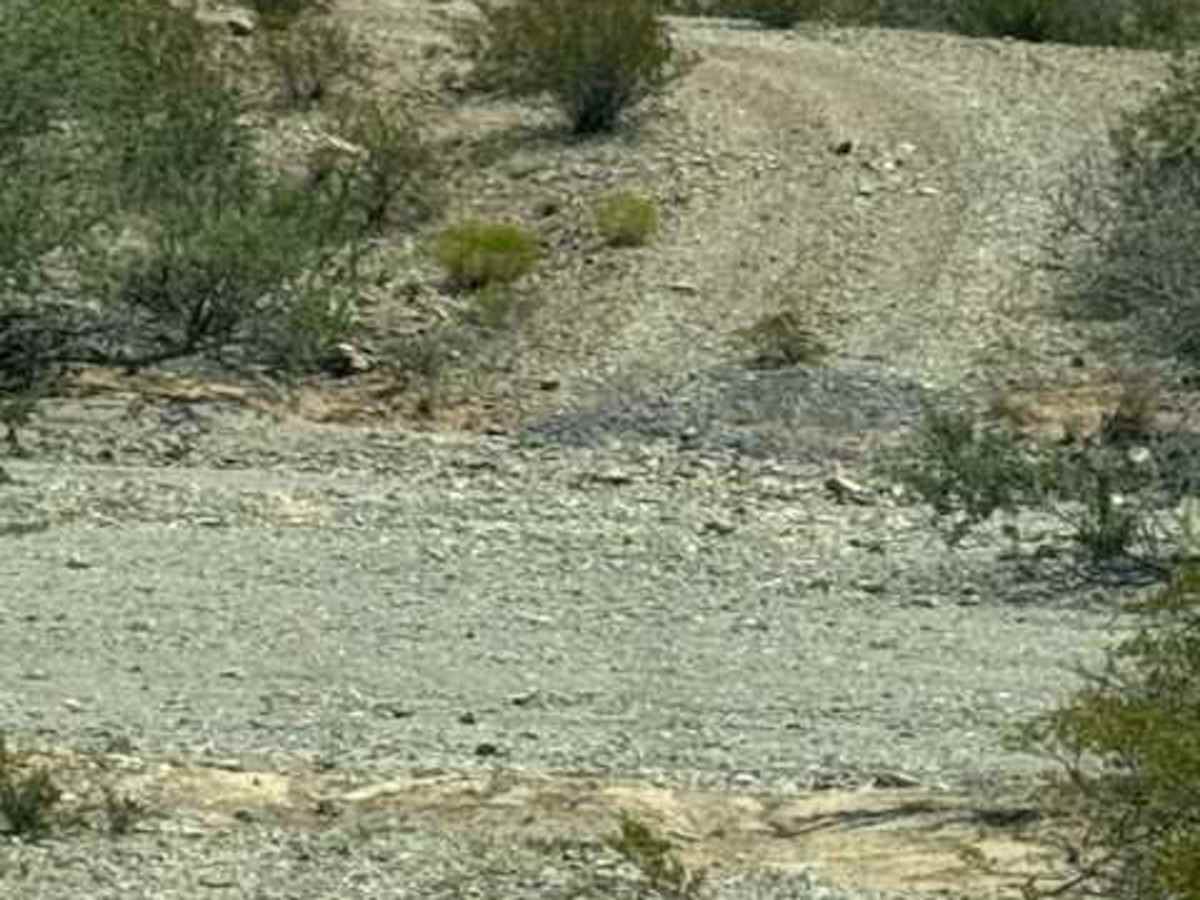
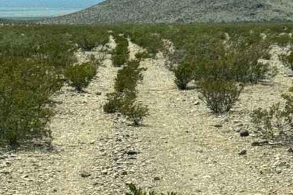
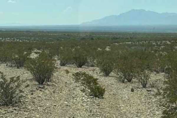
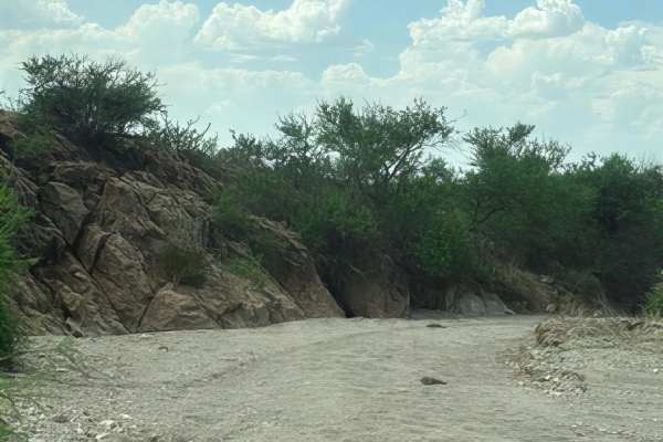
Ss1168 runs east/west through Powers Canyon. The trail has several washouts and ruts; watch your speed. Trail starts at the intersection of Ss1167 and Ss1169. It crosses a very wide wash impassable in wet conditions. Potential Flash flood area. After the wash, there is a section of private property; it is open, and you will have to S-curve through the back of the Corral. After the corral, you will cross the desert and navigate several more wash crossings. This trail is a gravel two-track trail surrounded by desert creosote and many small, hard-to-see natural drainage ditches. The Views of the Peloncillo Mountains to the north are spectacular. This side of this trail gets narrower, then enters the last wash, which takes you to the NM state line. The wash access is wide and then narrows. 4wd recommended. High clearance will be appreciated.
Difficulty
No obstacles, nothing technical, but high clearance and 4wd recommended. Impassable in wet conditions; this is a potential Flash Flood area. Lots of bumps, ruts, and washouts.