Trail Overview
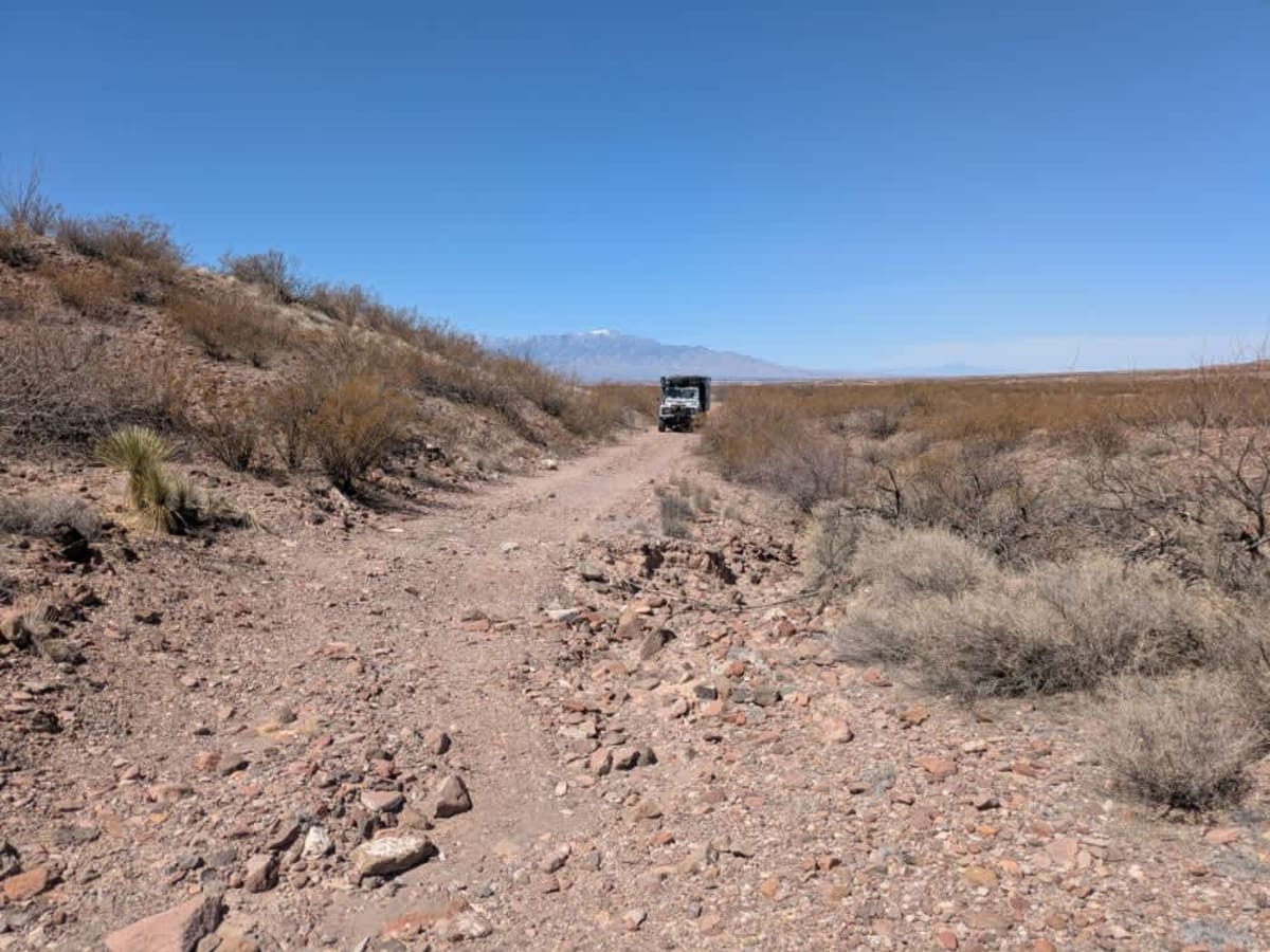
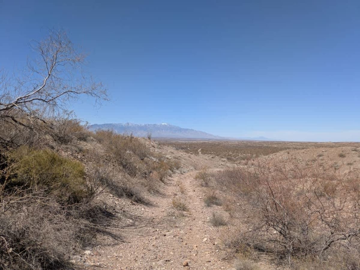
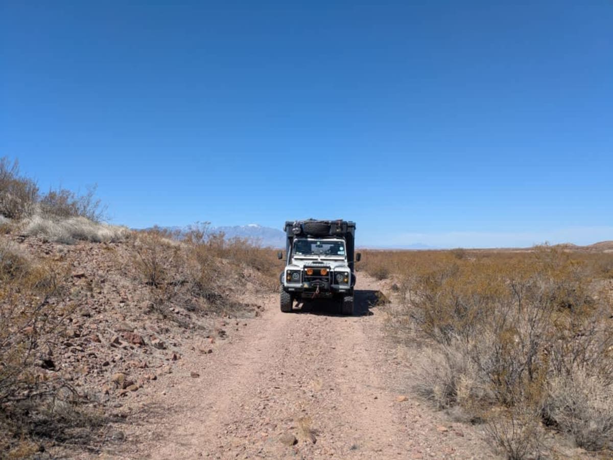
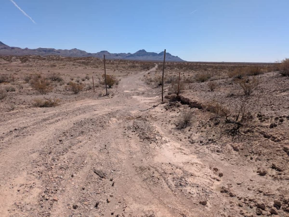
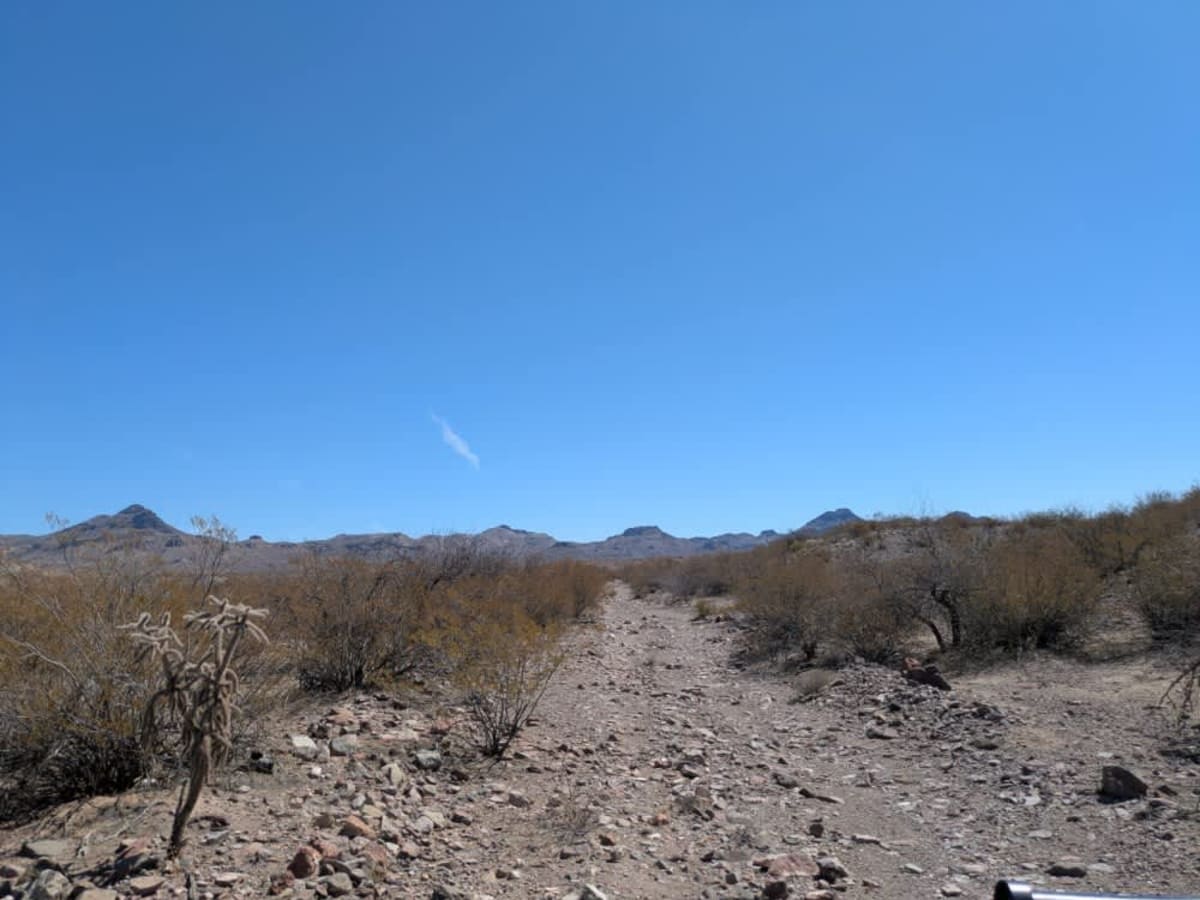
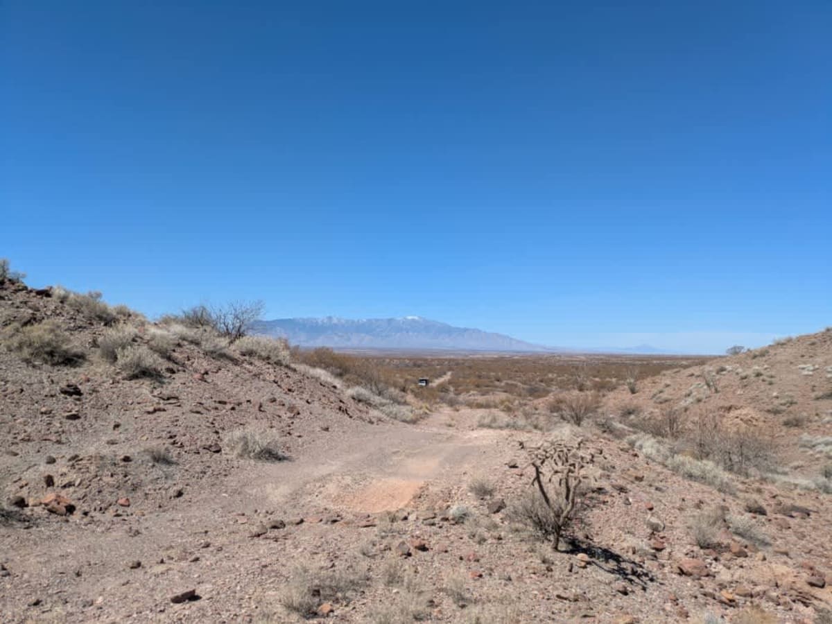
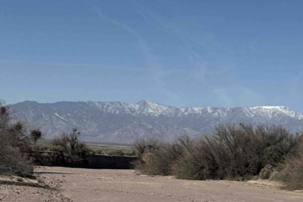
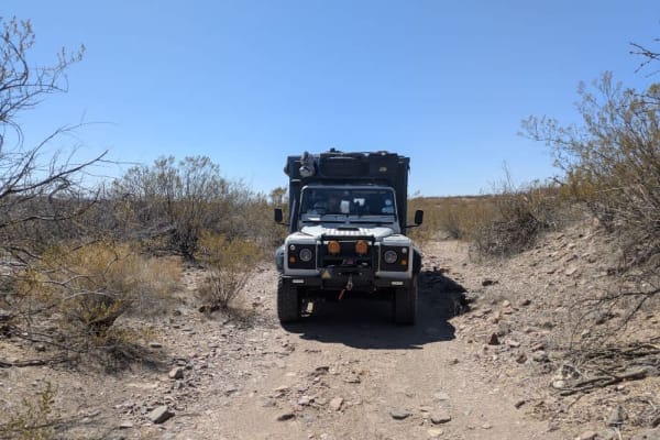
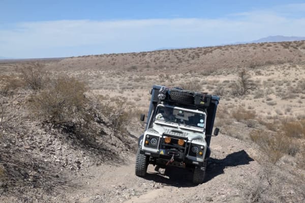
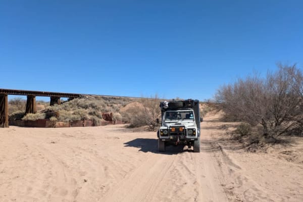
This narrow trail becomes rough almost immediately after leaving the paved road, with dips and off-camber sections that demand careful driving. Numerous spurs and offshoots branch from the main path, but some may cross onto private property where access is not permitted. Low-lying brush lines much of the route, presenting a risk of pinstriping. Less than a mile in, the trail becomes severely eroded and passes under a height restriction gate--a wire strung between two poles approximately three meters high. The trail offers a full range of challenges for a 4x4, including deep sand, rocky stretches, erosion, and a mix of ascents and descents, The further you drive the more challenging it becomes. This road offers no amenities such as water and trash disposal and cell signal is limited but there are a few dispersed camping areas.
History
Managed by the Bureau of Land Management, the 2,000-acre site is a popular destination for off-highway vehicles, especially in the cooler months. Visitors can ride the sandy trails by day and soak under the stars by night. While the area has no amenities like water or trash disposal, dispersed camping is allowed, and the BLM encourages visitors to tread lightly and pack out waste to help preserve the fragile desert ecosystem.