Solomon Pass Road North

Total Miles2.6
Technical Rating
3Easy
Best TimeSpring, Summer, Fall, Winter
Trail TypeFull-Width Road
Accessible By
Open Trail Map

Trail Overview

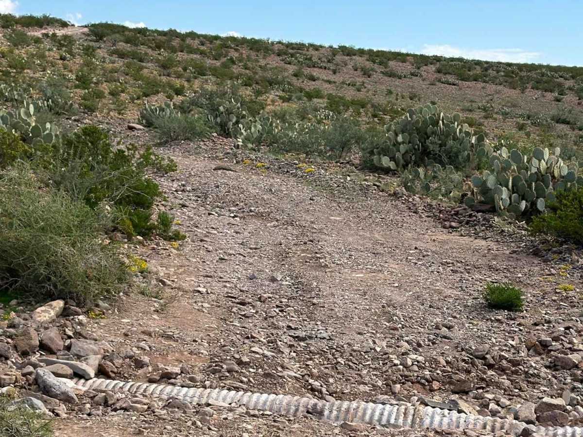
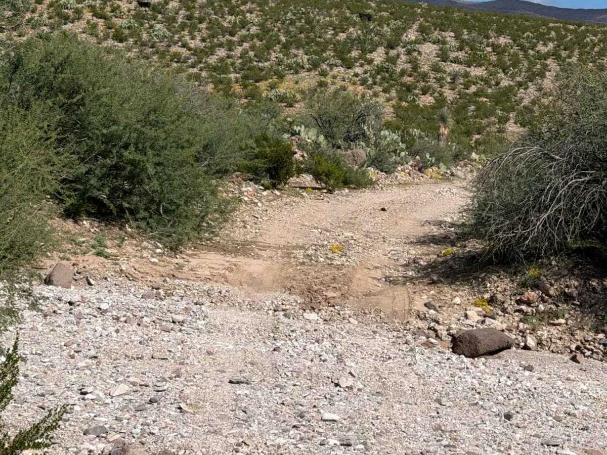
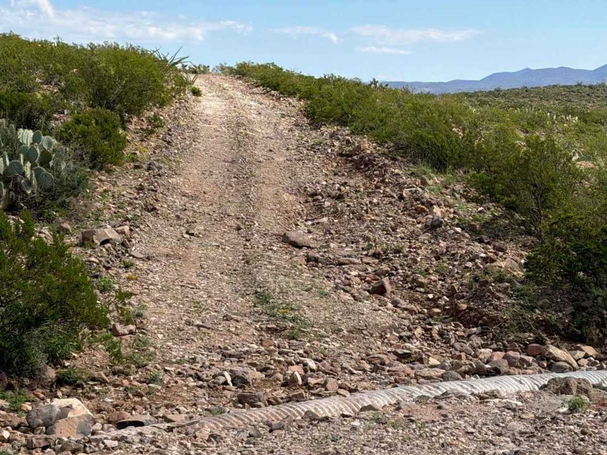
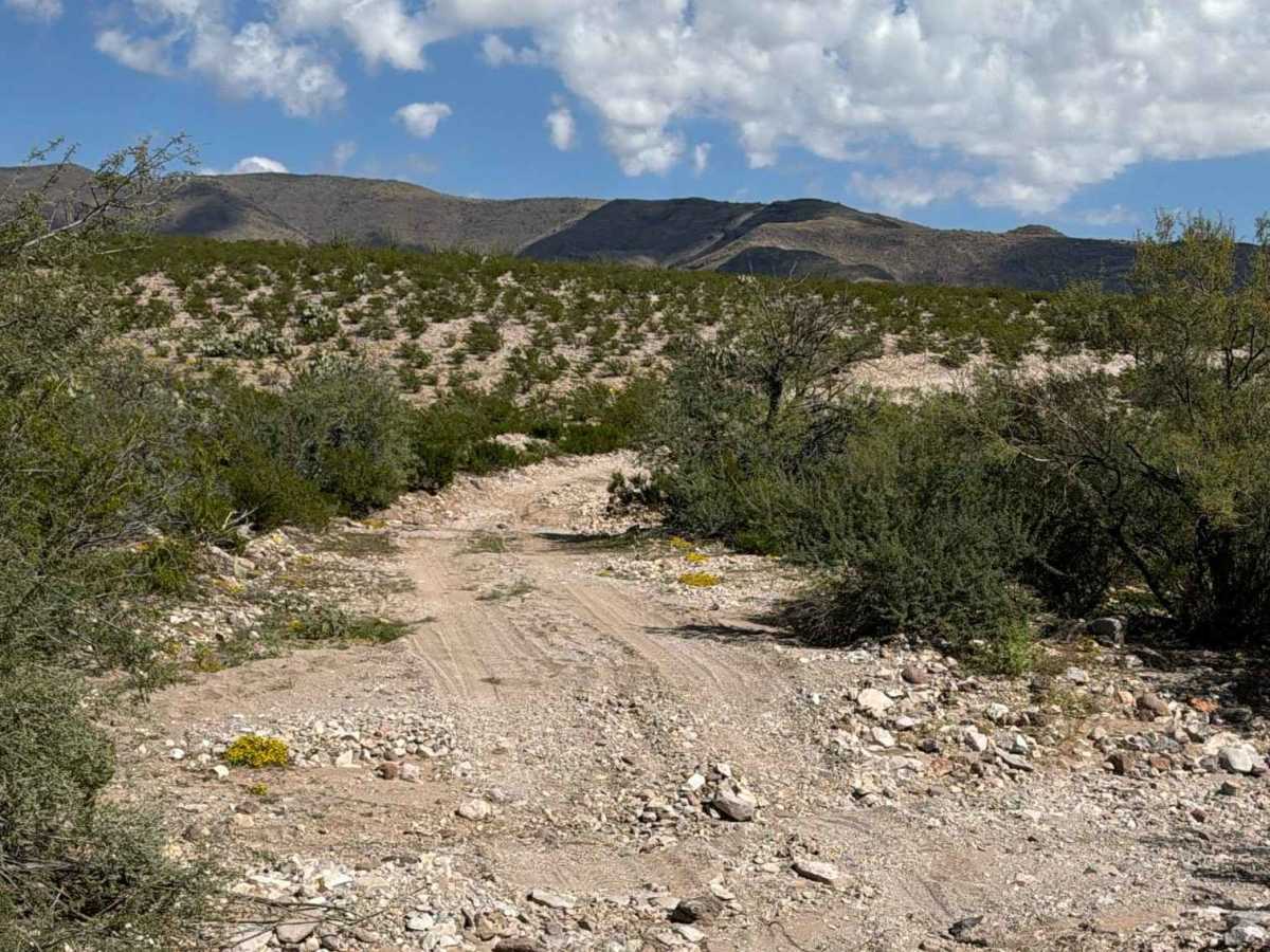
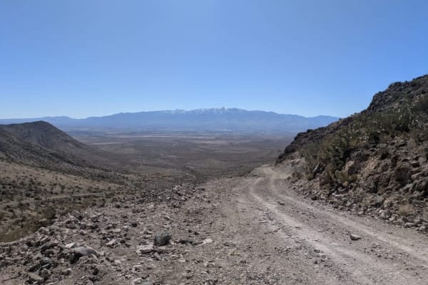
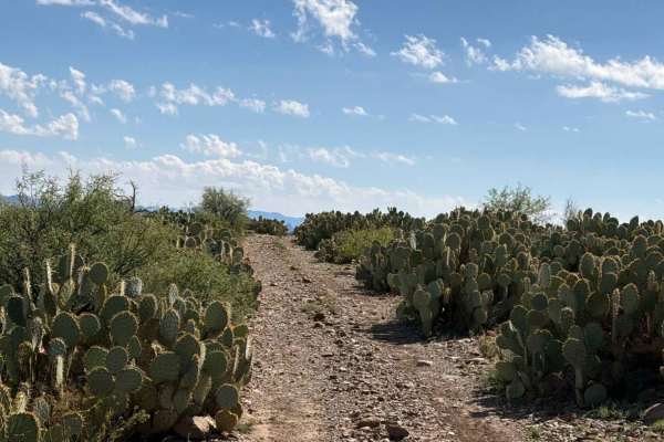
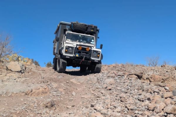
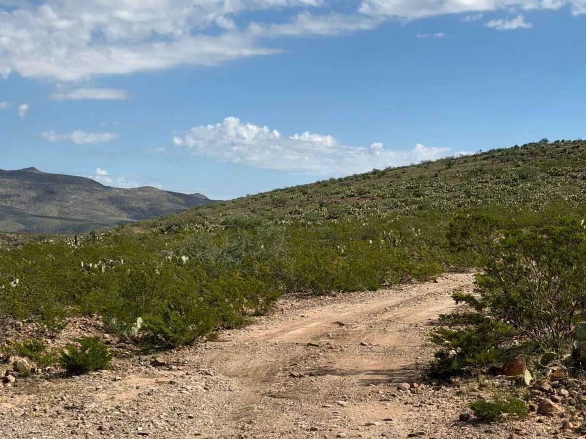
Solomon Pass continues to the right and connects to West Bonita Road. The trail is bumpy, with rocks of various sizes up to 12 inches, and a washout appears shortly after the turn. Stay high on the trail to get around the washout, then cross a wash with water drainage ruts and an exposed culvert. The next uphill section has bumps, a few ruts, and small washouts at the top, along with an open gate. The trail becomes smoother before reaching another exposed culvert surrounded by larger rocks, including several up to 12 inches. The route is surrounded by 4–6-foot desert creosote and ocotillos, with scenic views and enough width for vehicles to pass. In the lower section, the trail winds through the desert, crosses the wash several times, and climbs back out. Livestock are present in the area. The trail includes rock garden sections and a narrow section.

Photos of Solomon Pass Road North

Difficulty

Ruts and washouts are present, with rocks up to 12 inches in some sections. One section is narrow, but there are no technical obstacles. Stay high above the washout, as conditions may change again with future rain.

Technical Rating

3

Solomon Pass Road North Trail can be accessed by the following ride types:

  • Single Track
  • 50 Inch
  • 60 Inch
  • High Clearance
  • Full Width

Solomon Pass Road North Map

The onX Offroad Difference

onX Offroad combines trail photos, descriptions, difficulty ratings, width restrictions, seasonality, and more in a user-friendly interface. Available on all devices, with offline access and full compatibility with CarPlay and Android Auto. Discover what you're missing today!

Open Trail Map