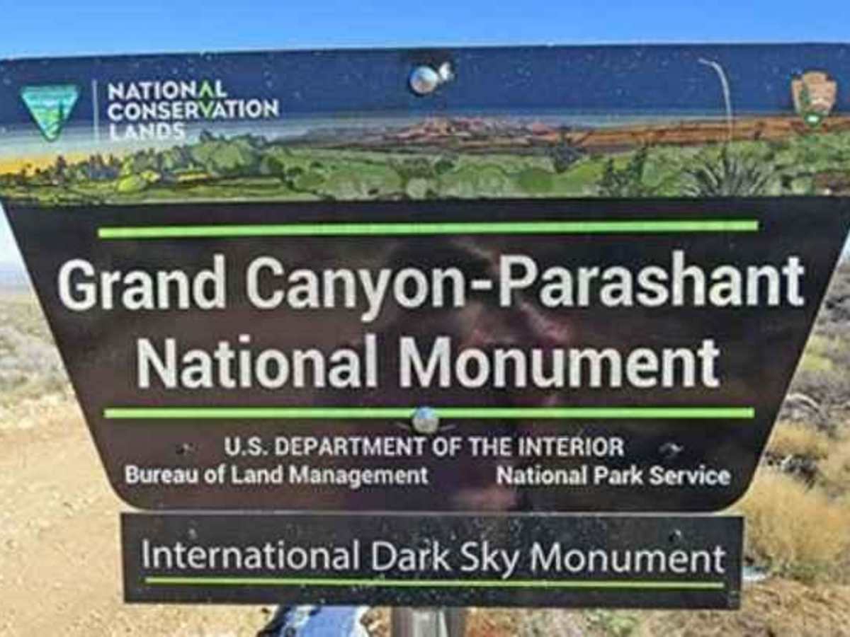
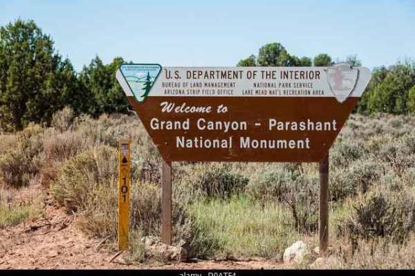
Trail Overview
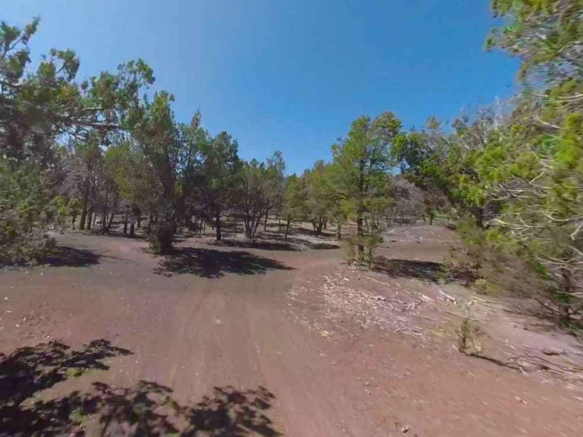
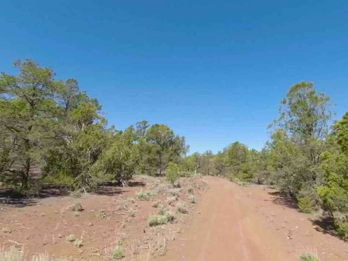
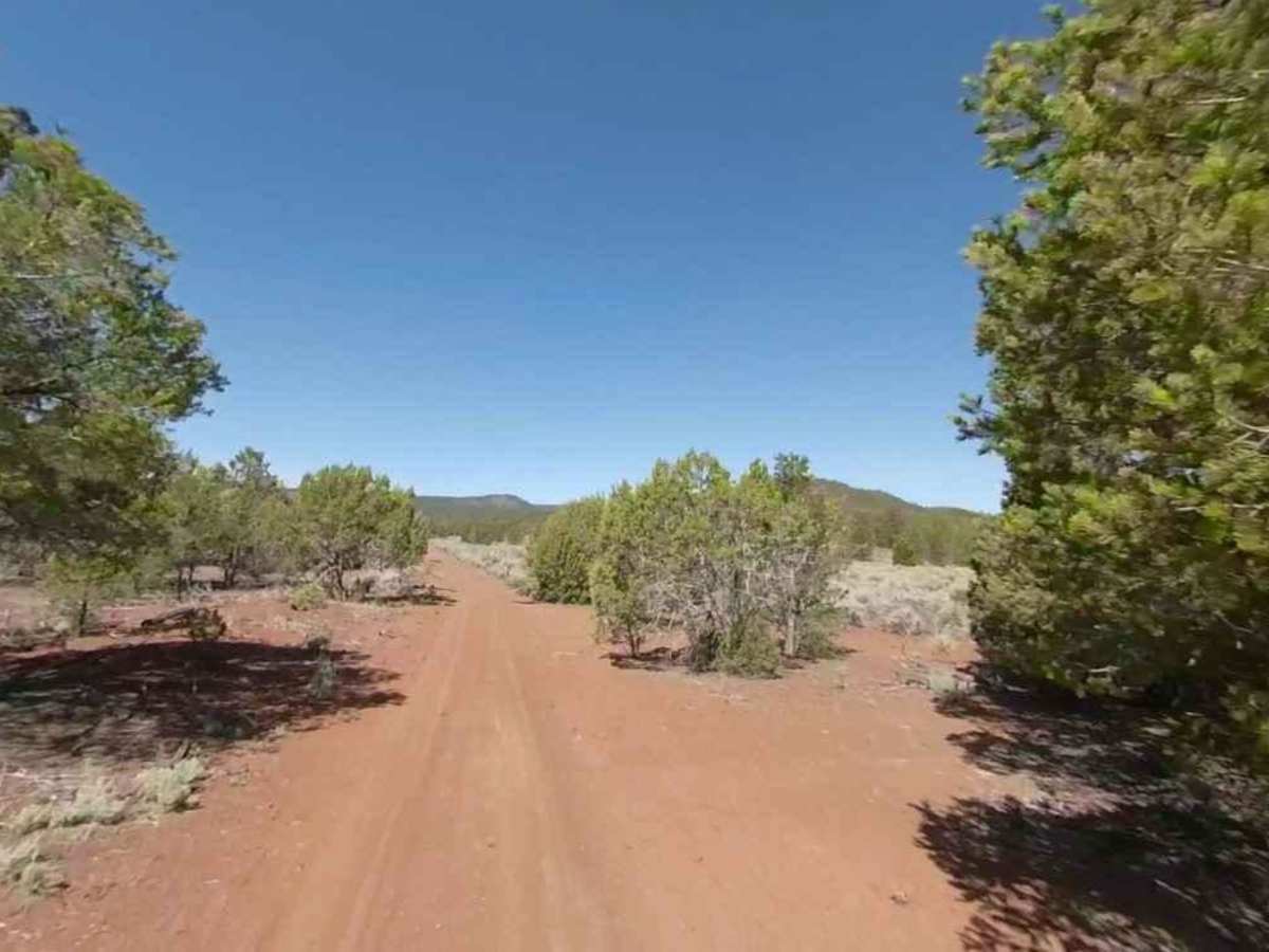
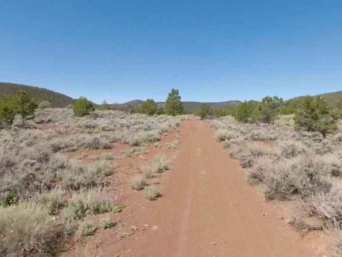
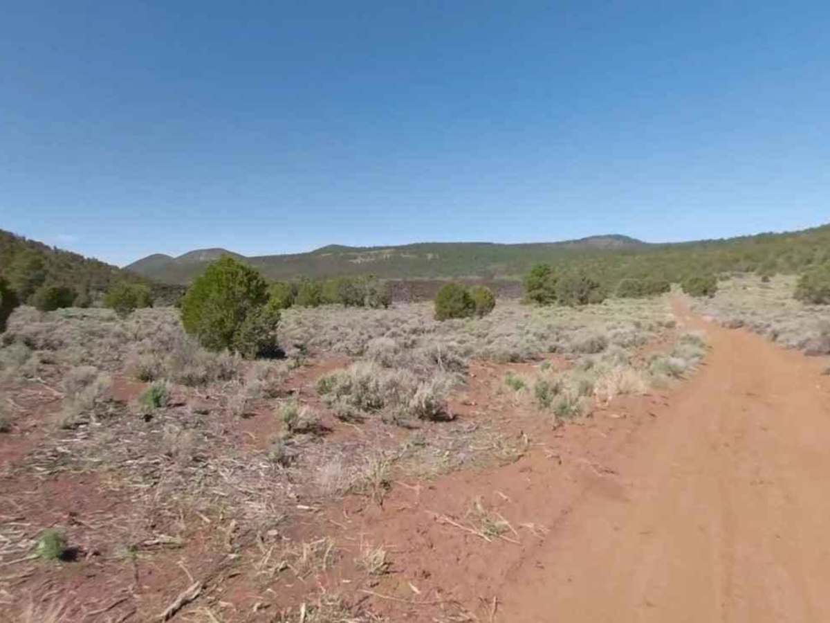
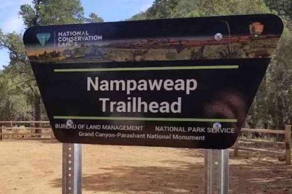
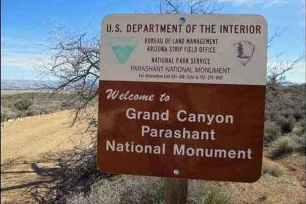
Slide Mountain Road BLM 1030 is a 1.5-mile road that is rated 2 of 10. This is one of several trails used to travel around the Mount Logan and Hell's Hole area of the Grand Canyon-Parashant National Monument. BLM 1030 provides a cross-connect between the Nampaweap Petroglyph site and access to the Mount Logan trailhead. Use BLM 1030 to connect to Little Oak Spring Road BLM 1029, Nixon South Road BLM 1044, and Mount Logan Road BLM 1064 to reach the trailhead. The trail cuts across pinyon pine forests and scrub prairie. Upon reaching the intersection with Little Oak Spring Road BLM 1029, the road continues south to private property and the Arkansas Ranch. Please respect the private property and turn west on BLM 1029. There is no water, gas, food, lodging, Wi-Fi, or cell service. Visitors should be advised that towing charges in the event of vehicles becoming stuck or damaged are in the region of $3,000. Areas above 5,000 feet may not be accessible in winter months due to mud and snow.
Difficulty
The trail consists of loose rocks, dirt, sand, and some slickrock surfaces. Mud holes are possible, but there are no steps higher than 12 inches. A high-clearance vehicle is required for the final 2-miles. 4WD is recommended, and aggressive tires are a plus.