Trail Overview
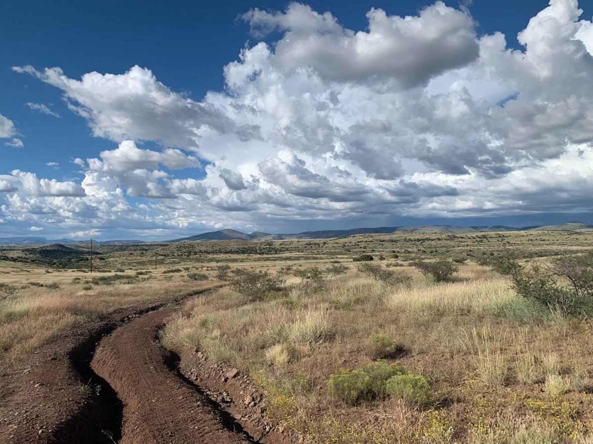
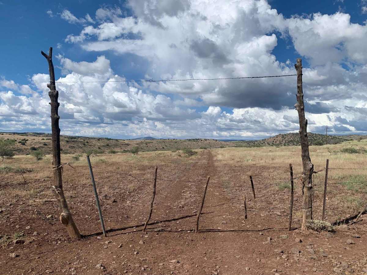
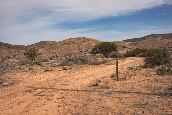
Silver Creek (FS 677) is a scenic, 6.4-mile point-to-point offroad trail in the Prescott National Forest that offers a perfect backcountry escape for intermediate drivers looking to experience Arizona's transition from high desert to pine-studded mesas. Situated within a corridor of the historic 3,100-mile Great Western Trail, this route features a mix of smooth dirt sections and challenging terrain surrounded by prickly pear cacti, Pinyon pines, and Arizona Juniper trees. The trail runs north-south, connecting Dugas Road and Marlow Mesa Road in the north with Bloody Basin Road (Tonto 677) in the south. Drivers will experience elevations ranging from 4,077 to 4,450 feet, with scenic big sky views throughout the journey. Because of its remote nature, mobile service is highly unreliable, typically offering no more than two bars of service, and there is absolutely no shade or water available along the route.
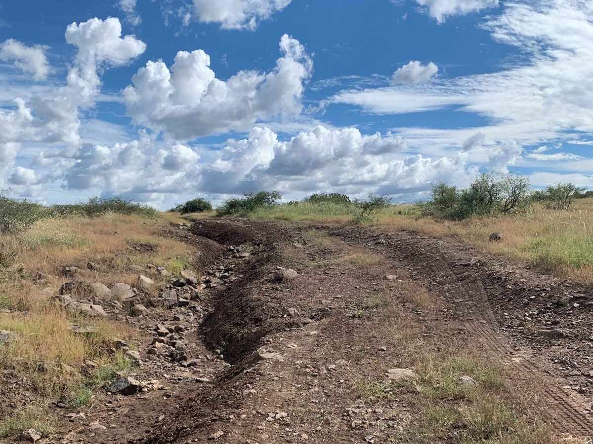
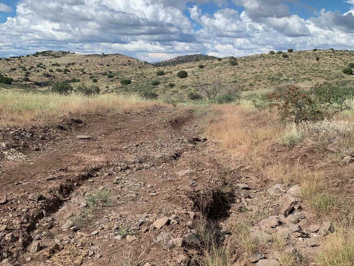
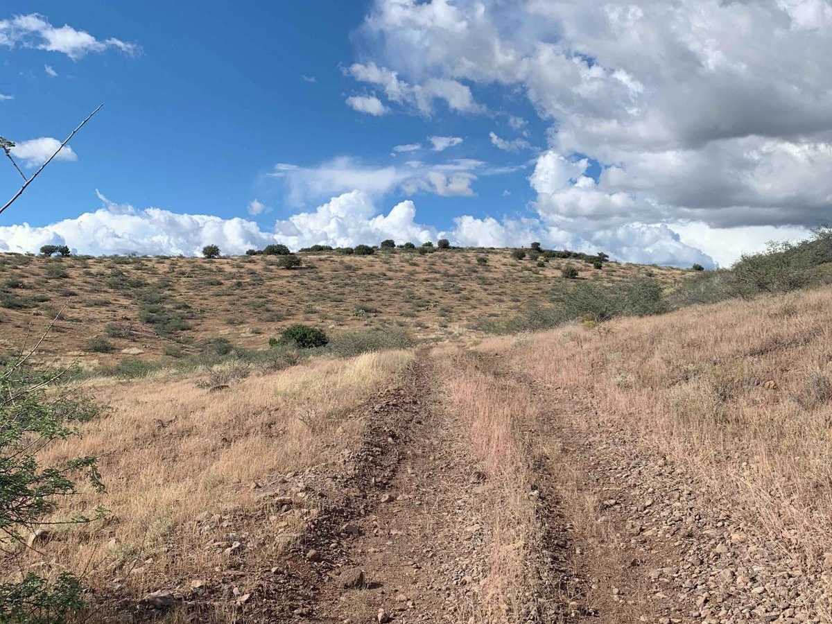
While some stretches are relatively smooth and fast, the route earns its technical difficulty rating of 5 due to significant erosion, deep rutting, and a particularly rough, rocky section near the northern end. This challenging stretch demands high-clearance vehicles equipped with four-wheel-drive to navigate a series of loose and buried rocks, along with several rocky ledges measuring two to three feet in height. Although the wash crossings are brief, they can become hazardous and significantly more difficult during or immediately after recent rainstorms. The trail is highly suitable for high-clearance four-wheel-drive vehicles, OHVs, and SxSs, making it an excellent addition to a multi-trail itinerary in the surrounding national forest. Visitors should follow Tread Lightly! principles and carry plenty of water and recovery gear.
Difficulty
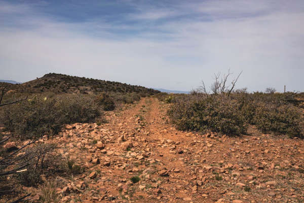
There are many areas with very deep erosion and rutting. This is a bumpy route, but the technical rating of 5 is based on a very rocky section toward the northern end of the trail. This section contains a mix of buried and loose rocks that will slow progress as one navigates the route through. This section also has multiple rocky ledges (2-3 feet) to navigate that will require 4WD, high clearance, and some patience. Although the wash crossings on this route are short, be mindful of recent rain or forecasted rain as this will likely increase trail difficulty.
History
The Great Western Trail is a 3,100-mile-long trail that extends across the United States from Canada to Mexico. It passes through the states of Idaho, Wyoming, Utah and Arizona. Throughout much of its length, it is actually a corridor of trails that parallel each other and accommodates a wide variety of both motorized and nonmotorized users. On some sections of the trail, these uses are separated. On others sections, they share the same pathway. The 800-mile portion of the Great Western Trail within the state of Arizona is primarily used as a motorized trail as the existing Arizona Trail, which also runs the length of the state, is designed solely for nonmotorized use.