Senator Highway / Crown King Road

Total Miles 57.4
Technical Rating
4 Moderate
Best Time Spring, Summer, Fall, Winter
Trail Type Full-Width Road
Accessible By
Open Trail Map

Trail Overview

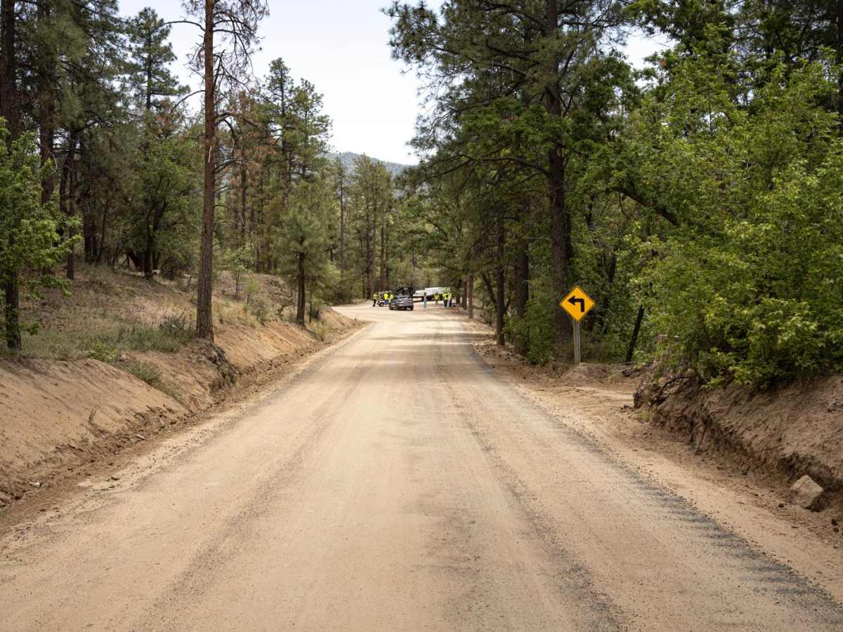
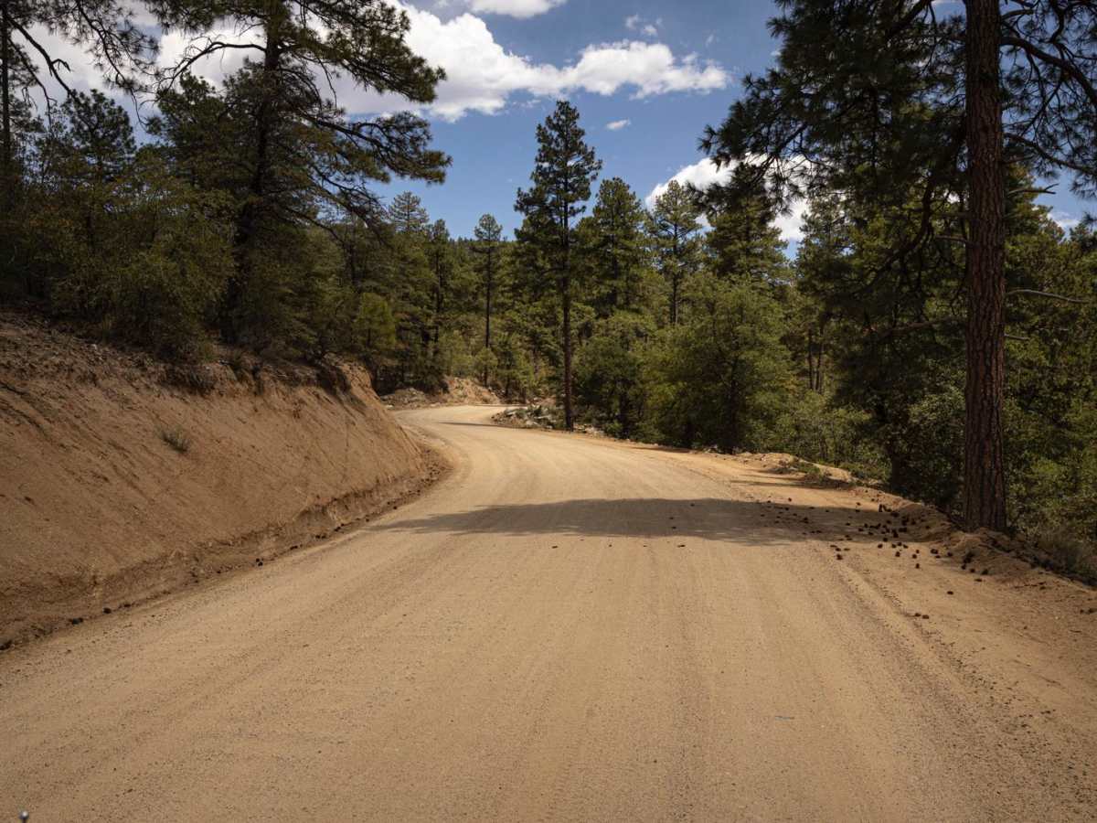
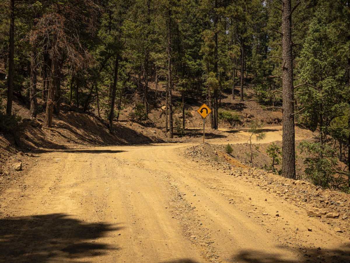
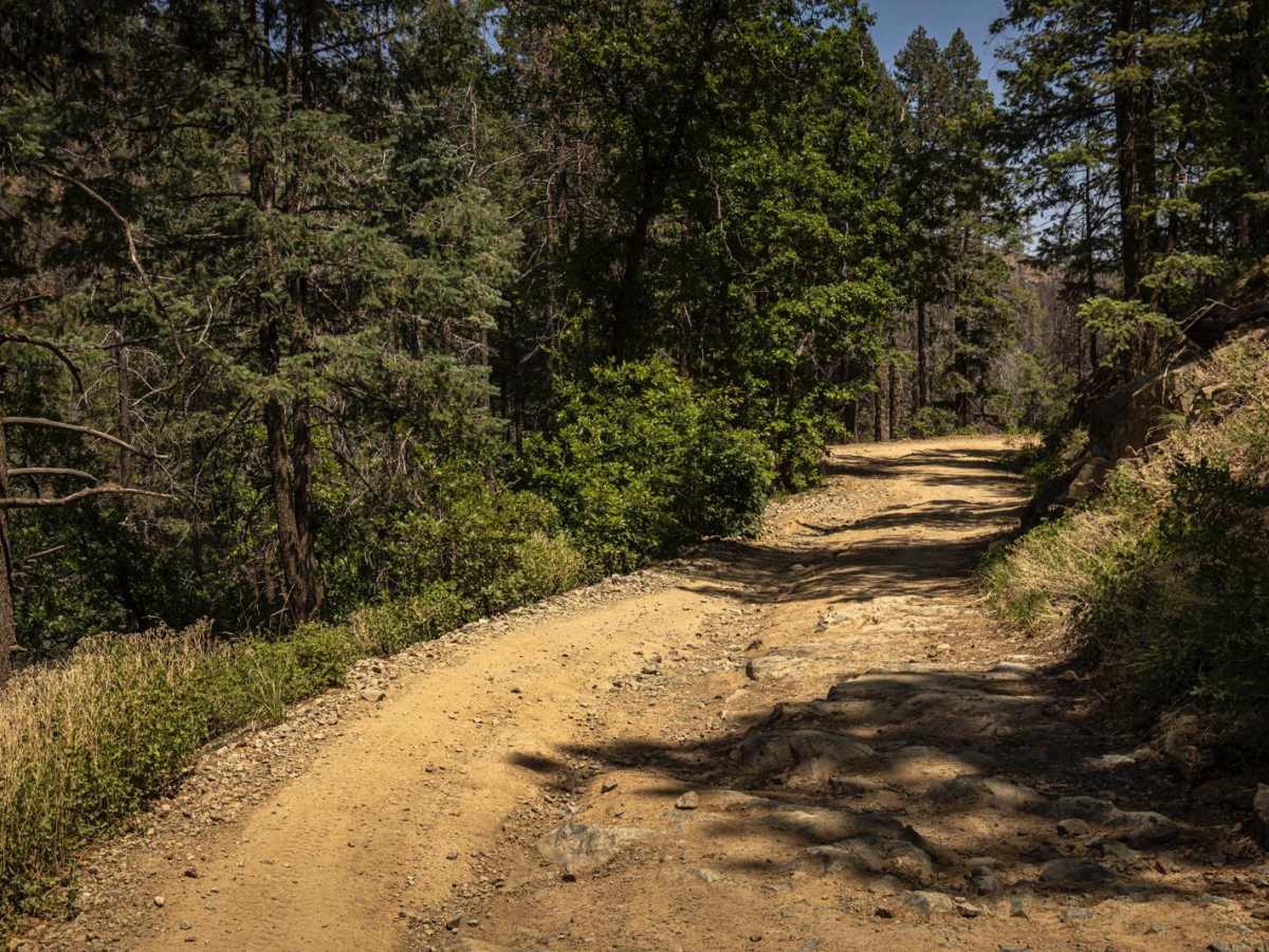
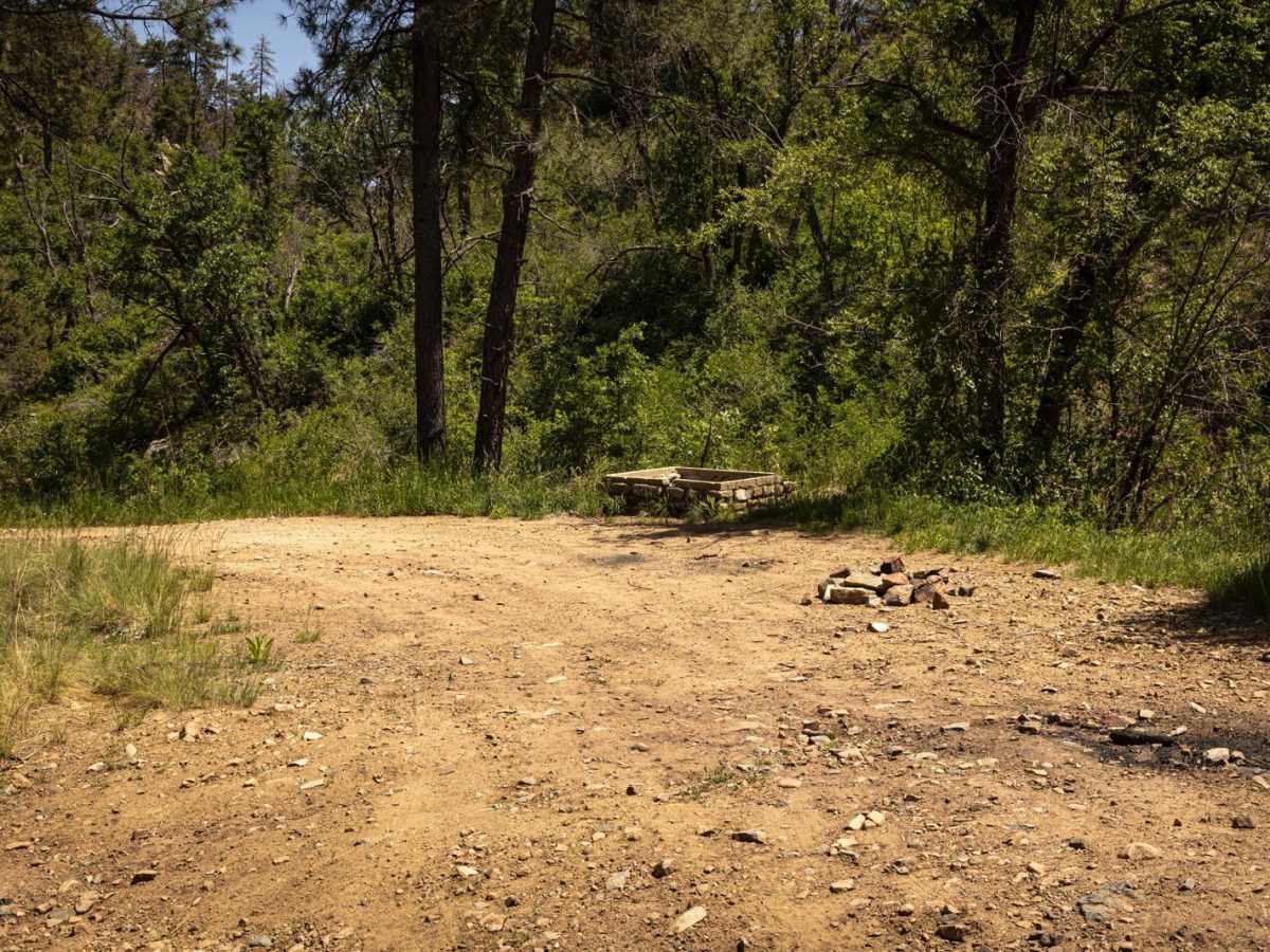
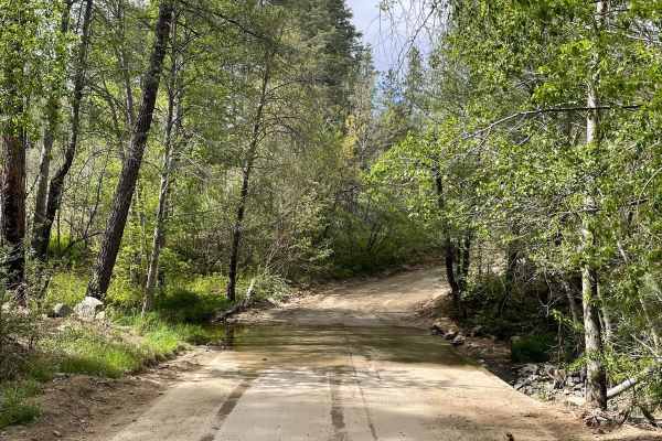
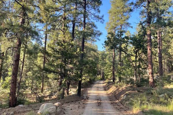
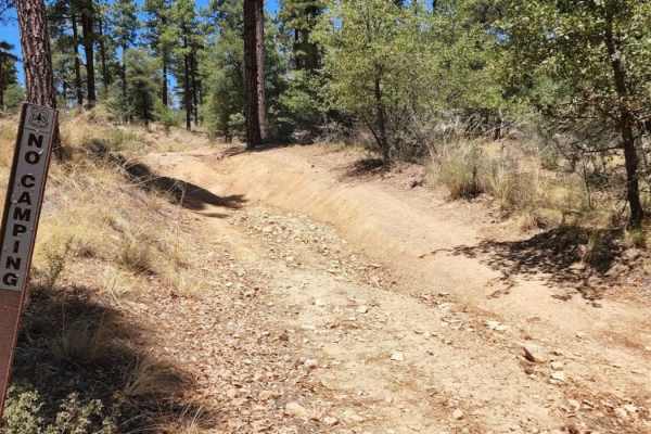
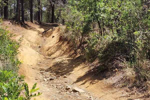
The Senator Highway (FR 52), commonly referred to as the Crown King Road, is a legendary off-road route that climbs from the desert floor near Bumble Bee through Cleator and into the pine forests of Crown King, with a final descent possible into Prescott via various connecting trails. This trail offers a full-spectrum Arizona backcountry experience. Starting from the south, the road begins as a long desert runout--dusty, wide, and relatively mild--passing through old mining towns like Cleator. As you gain elevation and move north toward Crown King, the trail transforms: ruts deepen, rocks get looser and sharper, and water crossings (sometimes up to a foot deep) test clearance and traction. Near the midway point, a notorious rock garden becomes a gatekeeper for those without high-clearance or off-road tires. This level-up section demands good line choice and steady throttle to navigate embedded boulders, loose scree, and ledge climbs. Though not impassable, it separates the casual trail cruiser from the more prepared off-roader. Beyond the hardest sections, the trail weaves through forested hills, continuing to offer steep, eroded climbs and descents, particularly after the town of Crown King, on your way to Prescott. Expect sections of deep ruts, off-camber turns, and exposed shelf roads depending on weather and recent use. Trail Features:Length: ~27 miles from I-17 turnoff to Crown KingWater Crossings: Seasonal, up to 1 footRock Garden: High-clearance and 4x4 required. Traffic: Moderate to heavy on weekends. Towns: Cleator and Crown King both offer small-town stops (food, fuel, beer). Camping: Available along the routeCell Service: Spotty at best, especially beyond CleatorPro Tip: Many choose to ascend from Bumble Bee and return the same way or make it a loop into Prescott via Senator Highway and connect to Walker Road or Poland Junction. The trail is best avoided during or after heavy rains or snow--conditions can deteriorate quickly.

Photos of Senator Highway / Crown King Road

Difficulty

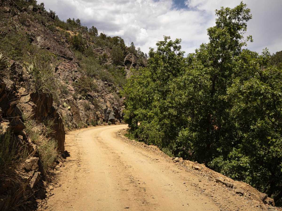
This trail, though well established, is rocky, with random rock gardens and erosion. There are deep ruts in places, as well as shelf-road situations, water crossings that could prove challenging (especially during or after a moisture event) and is mostly one lane wide, with narrow sections to pass. Cell service is intermittent, so offline maps are recommended.

History

The Senator Highway, now known as Crown King Road, is a historic route connecting Prescott, AZ, to the former gold mining town of Crown King. Its origins lie in the early 1860s as part of the Prescott and Lynx Creek Toll Road, eventually extending to the Senator Mine and then, bit by bit, to Crown King. The highway was initially built with private funding and later became a state highway in 1912, connecting Prescott to Phoenix, albeit through difficult terrain. Today, the road is a popular route for recreational off-road vehicles and those seeking a scenic drive through the Bradshaw Mountains. The first section of what would become Senator Highway was constructed in 1866 as part of the Prescott and Lynx Creek Toll Road. The highway was extended to the Senator Mine in 1875, named after the mine itself. The road was gradually extended to Crown King over the following decade. The Senator Highway was incorporated into the state highway system in 1912 and reconstructed. Today, the highway, now known as Crown King Road, is a popular route for off-road enthusiasts and those exploring the Bradshaw Mountains. Crown King itself evolved from a mining town to a tourist attraction, particularly during the 1920s and 1930s. The road passes the Palace Station, a historic stage station, which was a significant part of the history of the area, connecting Prescott to Crown King in Arizona, serving as a gathering point for travelers, miners, and their families. It was built in 1874 and served as a stage stop on the road to the Peck Mine and points south. Today, one can visit the site where the Palace Station stood and observe a cabin on the grounds where this historical building once stood.

Technical Rating

4

Status Reports

Add Status Report
Jennifer & Kevin c
Jun 13, 2026
Open
Came south from Prescott smooth at first then turns to a bumper path manageable passable narrow trail beautiful views camping scattered around all the way to the Bradshaw trail. After you turn right this trail gets more technical shel narrow wiggles watch for oncoming traffic and washouts and ruts and rock gardens. Fun trail. At the left for crown king the trail continues with lots of wiggles around the mountain rock gardens steep climbs. Few turnouts so watch ahead for oncoming traffic,
Greg Wichtowski Jr
Mar 04, 2026
Open
We started from the South where it's mostly a wide gravel road. Cleator was cute but closed. Crown King was also closed. It should be noted CK is only open 11-4 weekends (at least this time of year, IDK about other times). The road lived up to its reputation on onX, but we started it based on a review from elsewhere that said it was only 23 miles!! Pack food and water and be prepared. We had enough snacks and water, but would have packed a lunch had we known the saloon would be closed on weekdays. Past CK it was rough and rutted, though no water crossings worth mentioning. In a JL Wrangler on 35's is was completely manageable, although we took it very slow at times. Total trip was over 6.5 hours without stopping for more than a snapshot or stretch. Amazing scenery from cactus to pine forest and vies to the horizon in all directions! Dinner and drinks in Prescott was delicious and charming. A great destination after a long rough trail day! We only saw 4-5 sxs, 4 Enduro bikes and 2 jeeps, all headed South.
Alan King
Feb 26, 2026
Open
Lots of off camber and rutted out roads. Was very similar as telegraph 41 in that aspect. I don’t remember exactly where or what way we took cuz we had no service, but it was fun. I would say moderate to hard depending on rig and driving skill. We did like 30+ miles 8+ hours 2 of which were in the dark with only headlights it was an adventure. Ordering starlink tomorrow no more getting lost no matter how fun it was.
Sebastien Saramito
Feb 03, 2026
Open
Jackson Woods
Jan 01, 2026
Open
New Year’s Day, I was alone until I got into crown king. 2 days of moderate rain made it very slick. From Prescott to CK, made the first half in 2WD. Could probably do 90 percent in 2WD if it was dry. The hairpins towards the end of the trail were nerve racking due to the super duty wheel base and the mud. Smaller vehicles will have no issues. Everything looks worse than it is. F-250 leveled on 37’s, never scraped or bumped anything. Will do again so I can actually see the views this trail offers.
Benjamin Russell
Nov 23, 2025
Open
They took more than several hours I think took 5 hours to complete the whole thing from crown King to Prescott pretty rough roads knee clearance about a foot and a half
Jason Henley
Nov 10, 2025
Open
we ran from senator highway and went down castle hot springs way. trail was great. no issues
Jeff Pentzien
Jul 26, 2025
Open
We ran it from Prescott to Crown King. Senator Highway took about 3.5 hours. Slow going and the trail is rocky/rutted. The ruts are pretty bad along the shelf roads in the Bradshaw Mountains, especially in the turns that can put you off camber. The rock obstacle near CK is worse than it looks, I wouldn’t recommend it if you don’t have high clearance. Watch out for SXS flying around blind corners.
Akshay Vijay
Jul 16, 2025
Open
Drove the section from Crown King to the turnoff for Pine Flats Road. Rough and rocky but not too bad. Couple spots where good tire placement could really smooth things out. One major rock obstacle which required a friend to get out and spot (pics attached).
Frederick Smith
Jul 12, 2025
Open
Most of the trail was easy but slow going. We started in Prescott around 2:30 pm. We finally finished at I17 around 8:30. Just before Crown King is a rock garden, anyone with a larger lift will be fine but for me runing a 3inch lift with 35s it was a tough one!

Senator Highway / Crown King Road Trail can be accessed by the following ride types:

  • Single Track
  • 50 Inch
  • 60 Inch
  • High Clearance
  • Full Width

Senator Highway / Crown King Road Map

The onX Offroad Difference

onX Offroad combines trail photos, descriptions, difficulty ratings, width restrictions, seasonality, and more in a user-friendly interface. Available on all devices, with offline access and full compatibility with CarPlay and Android Auto. Discover what you're missing today!

Open Trail Map