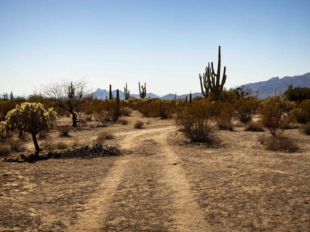
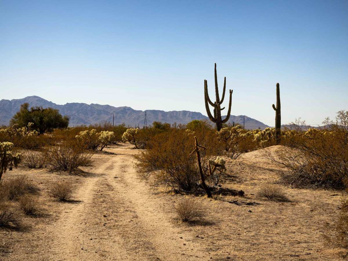
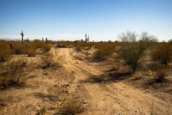
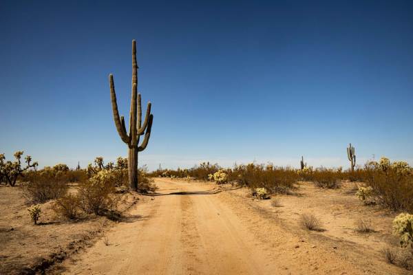
Trail Overview
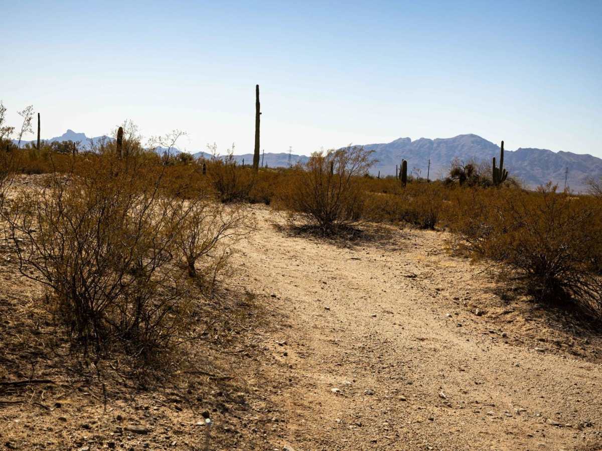
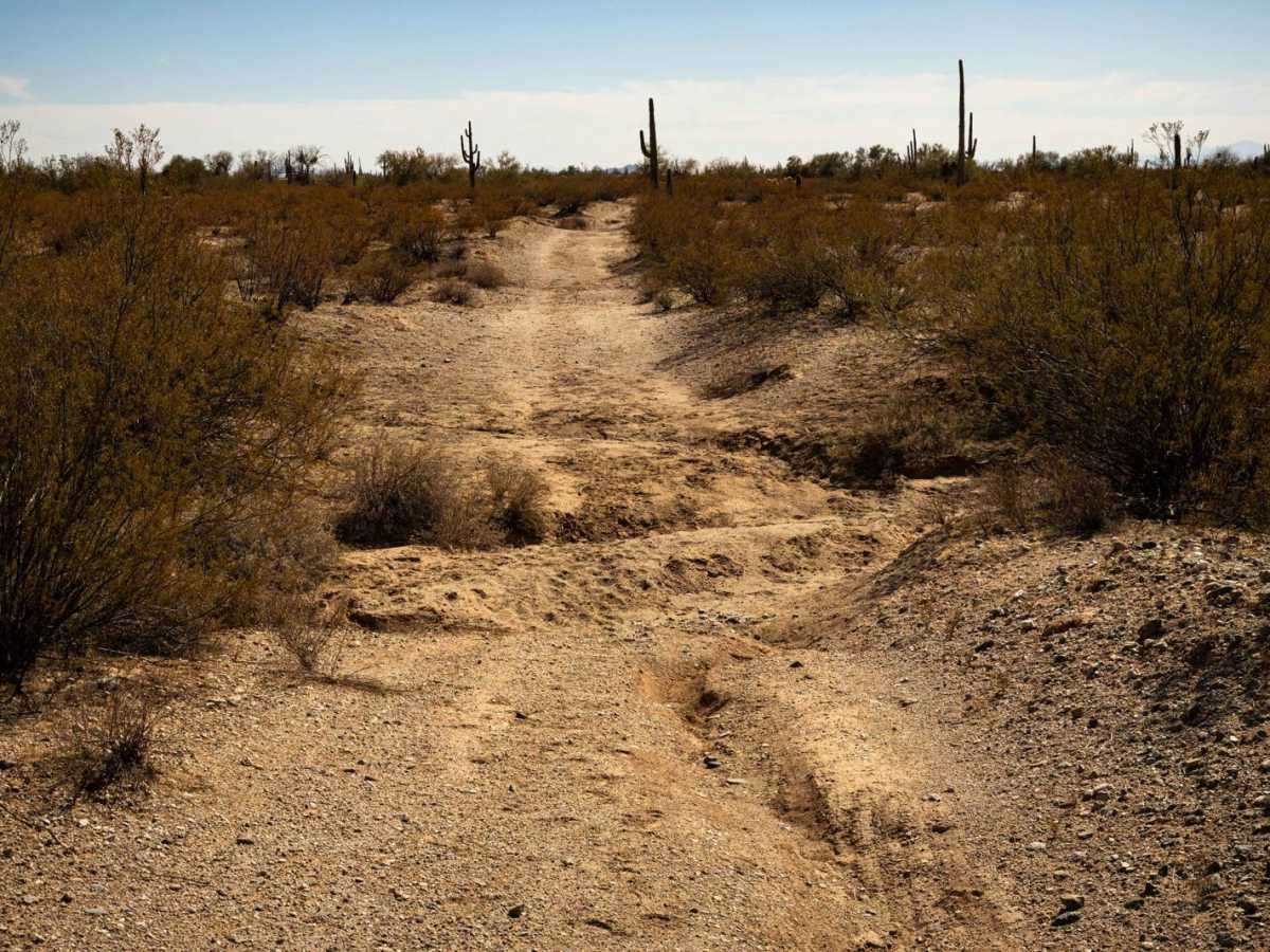
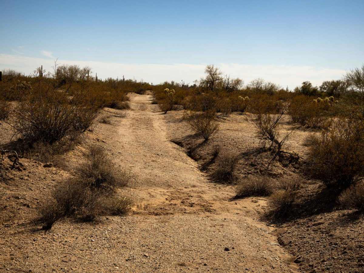
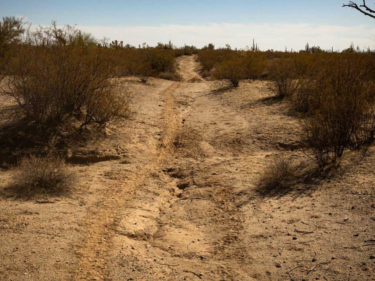
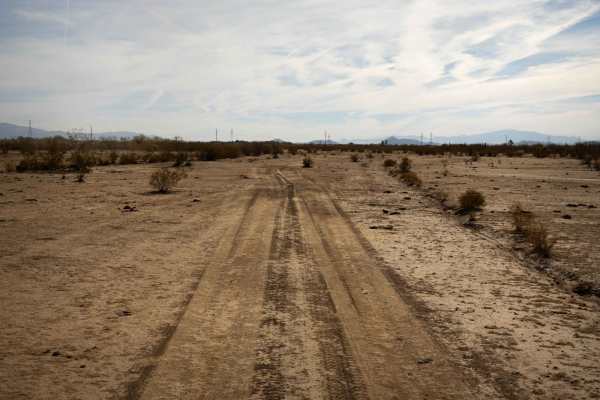
Seclusion Corner is a conundrum of a trail. You'll start from the North, thinking it connects to several trails along your journey. You'll be wrong. At the first intersection, the South and East trails have been reclaimed by nature and have no established path. This has you now heading West on the only clear path. At the next intersection, you'll find that the West, South, and North have all been reclaimed with no established path, leaving you to camp in this area or turn around to find a better place to enjoy this stellar area. The trail itself is narrow and lightly traveled and follows an old cow path through rugged terrain. Erosion has shaped parts of the route, requiring careful navigation. With no cell service in the area, be sure to download offline maps before heading out.
Difficulty
This is an unmaintained trail that has some route-finding involved. Intersections have been reclaimed, eventually leading you to a dead end, where one must re-trace one's steps to get out to another, more suitable adventure. If you do choose to camp, chances are you won't be bothered as there's only one way in and one way out, thus the name, Seclusion Corner.