Trail Overview
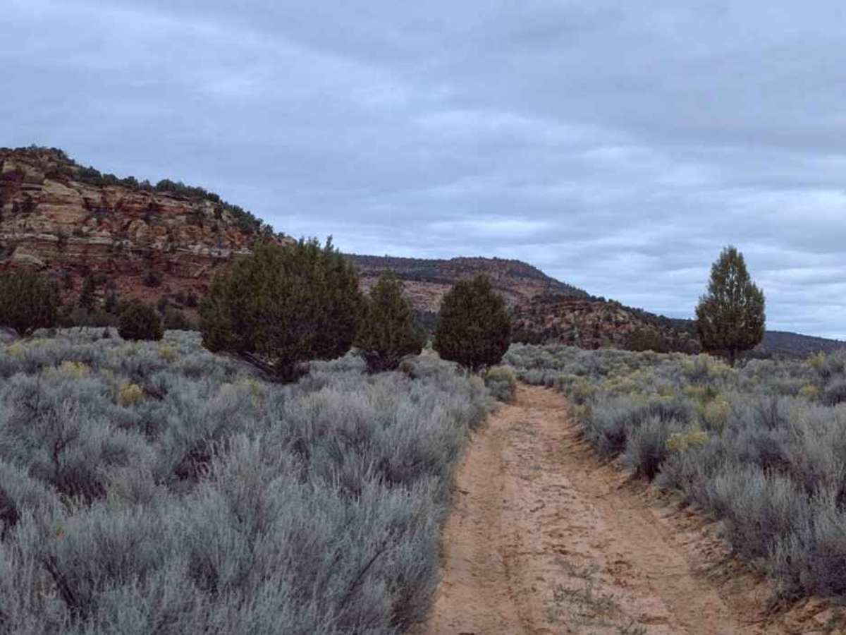
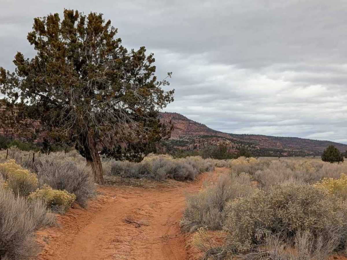
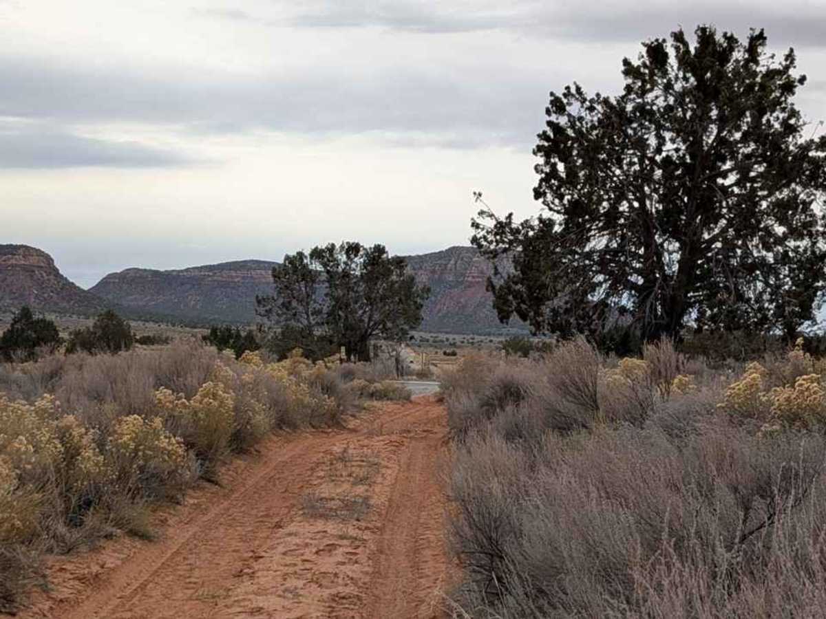
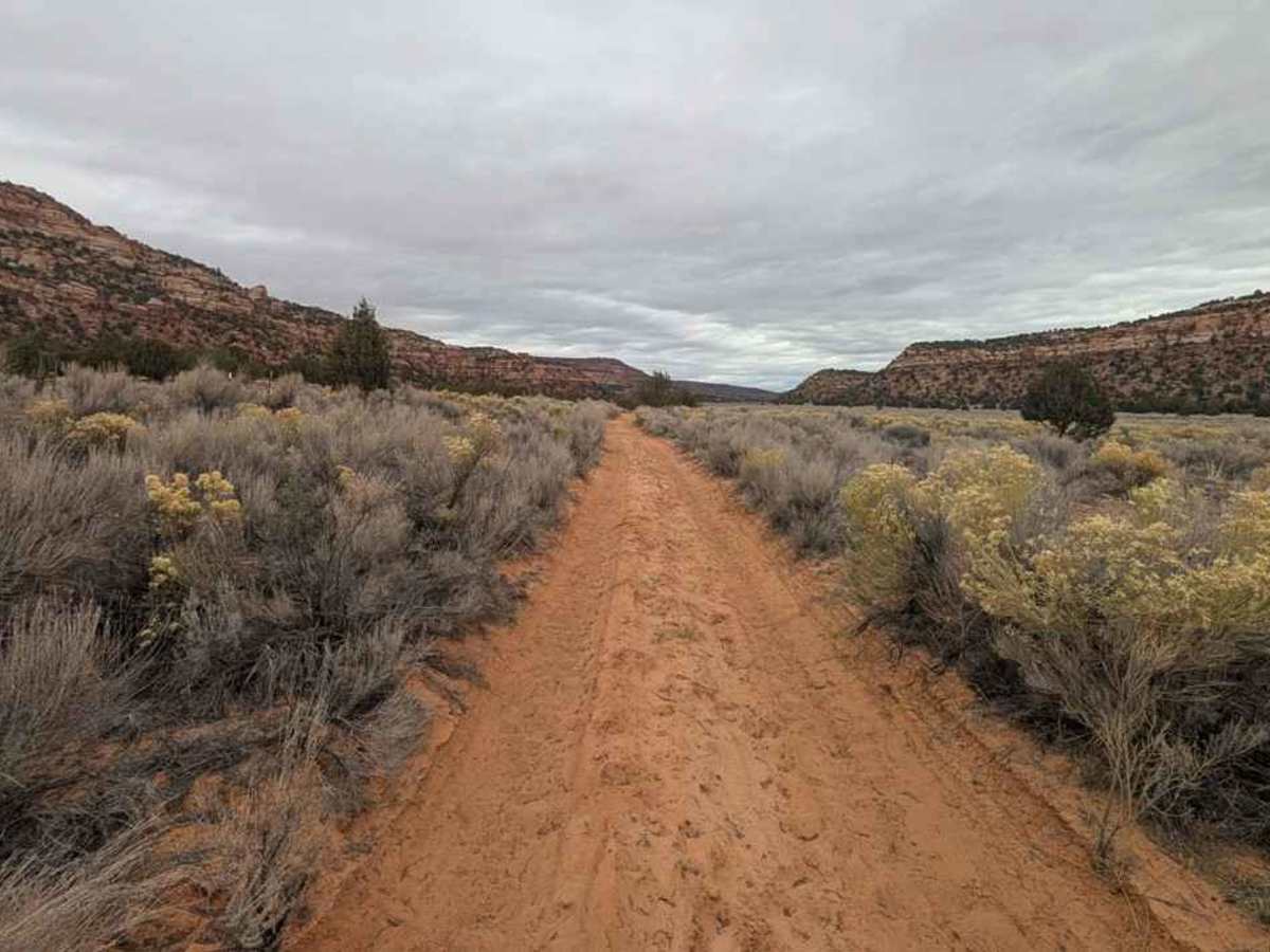
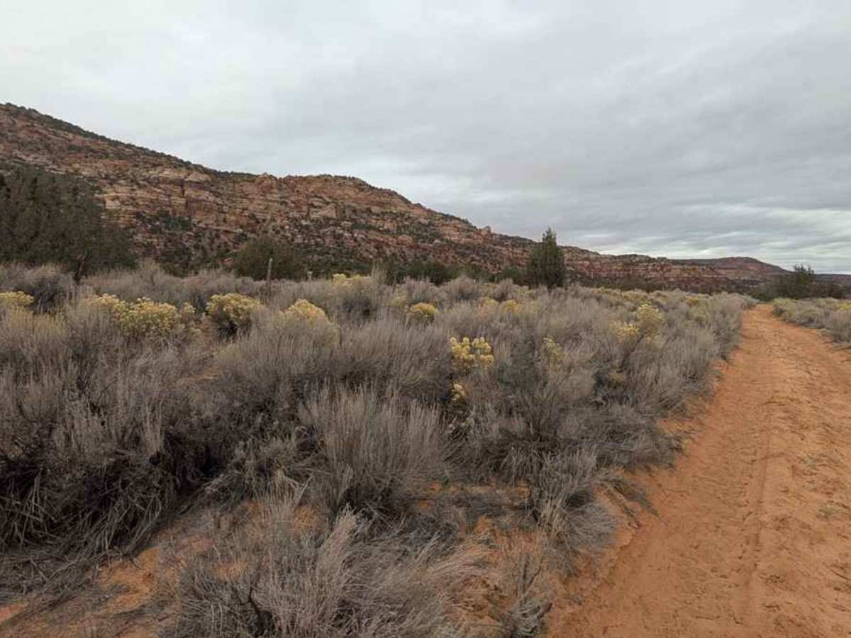
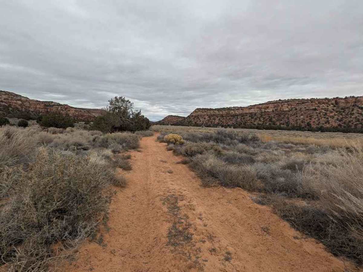
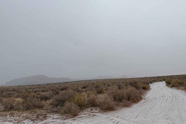
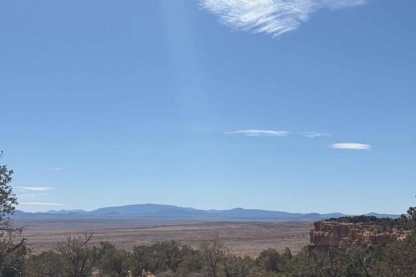
Rose Canyon (also known as Rosy Canyon) is a destination trail located along the northernmost border of Arizona, in Mohave County. BLM M4156- Rose Canyon is a 1.9-mile point-to-point sand and dirt trail rated 3 of 10. This dirt trail runs along the edge of BLM managed land between two points on the Canes Bed Road. The highlight of this trail is a stop at the Rose Canyon III petroglyphs (36° 58.671' N, 112° 52.475' W). There are petroglyphs located along both sides of the area. Rose Canyon IV & V are located west of this trail but are not accessible without crossing private property. Please respect the no trespassing sign and fence. There are several other petroglyph sites located on the east side of the Canes Bed Road, with the most well-known being the Basket Site (see additional activities for coordinates). The trail runs along and within the low-lying wash, which runs through the valley. The sand tends to be 6 to 8 inches deep in places. Any AWD or 4WD vehicle should have no issues driving this trail when it is dry. Recommend avoiding driving down this track when wet, as it will generally cause trail damage, and the lower areas may be filled with water. This area is historically the lands of the Kaibab Band of the Southern Paiute descendants of the Ancestral Puebloan People (aka Anasazi). Site III is easily found by following the well-used foot trail up to the cliff edge. The nearest services are in Colorado City.
Difficulty
Trail consisting of loose rocks, dirt, and sand with some slickrock surfaces, mud holes possible, no steps higher than 12 inches. 4WD may be required; aggressive tires are a plus.