Trail Overview
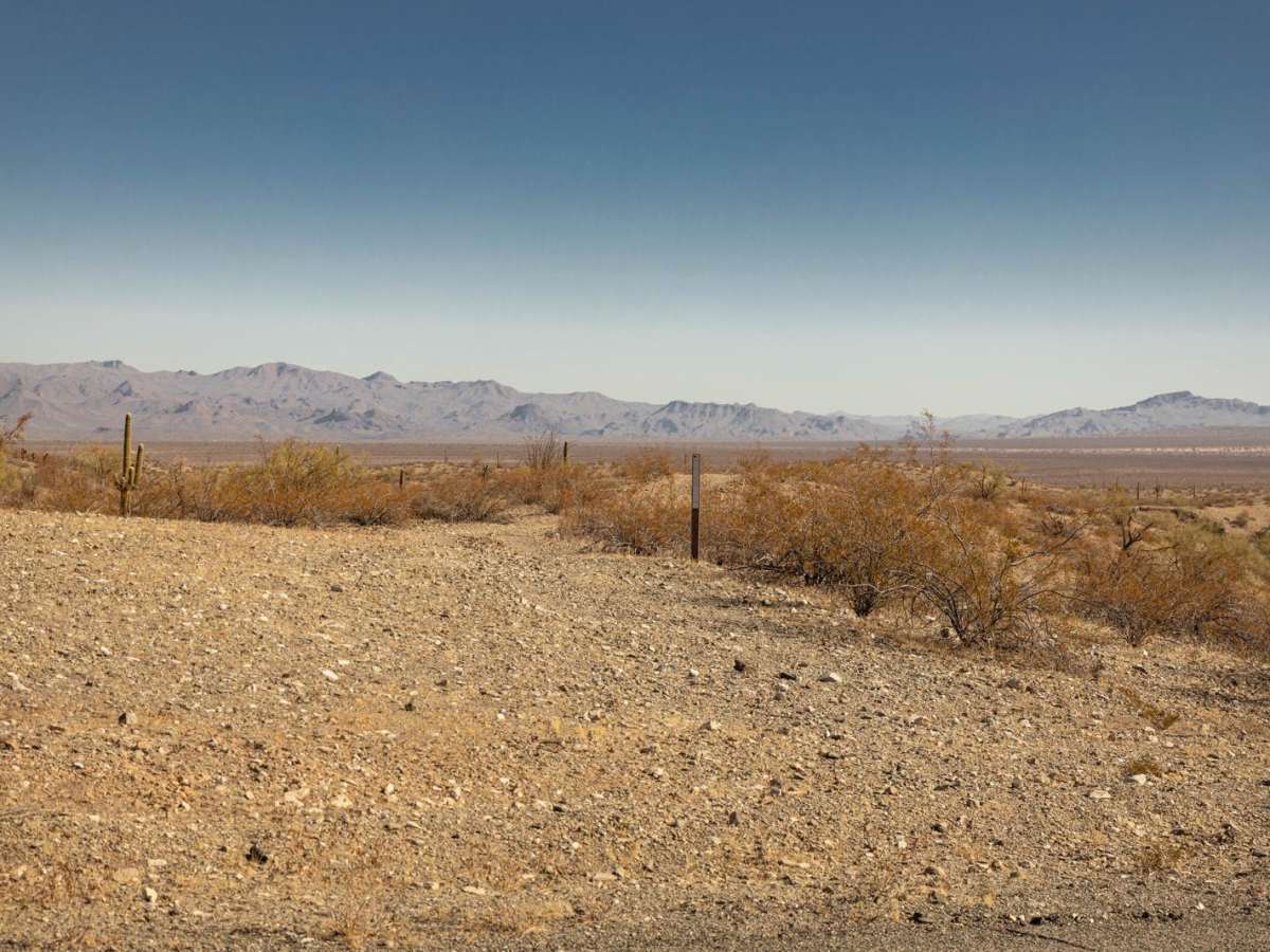
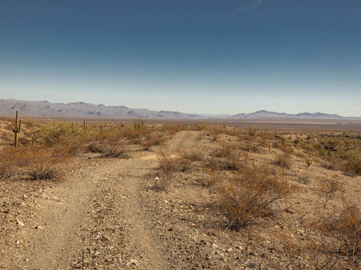
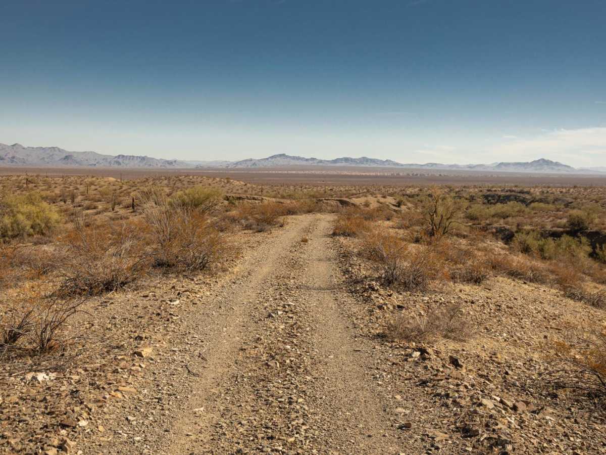
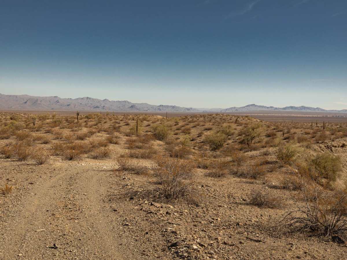
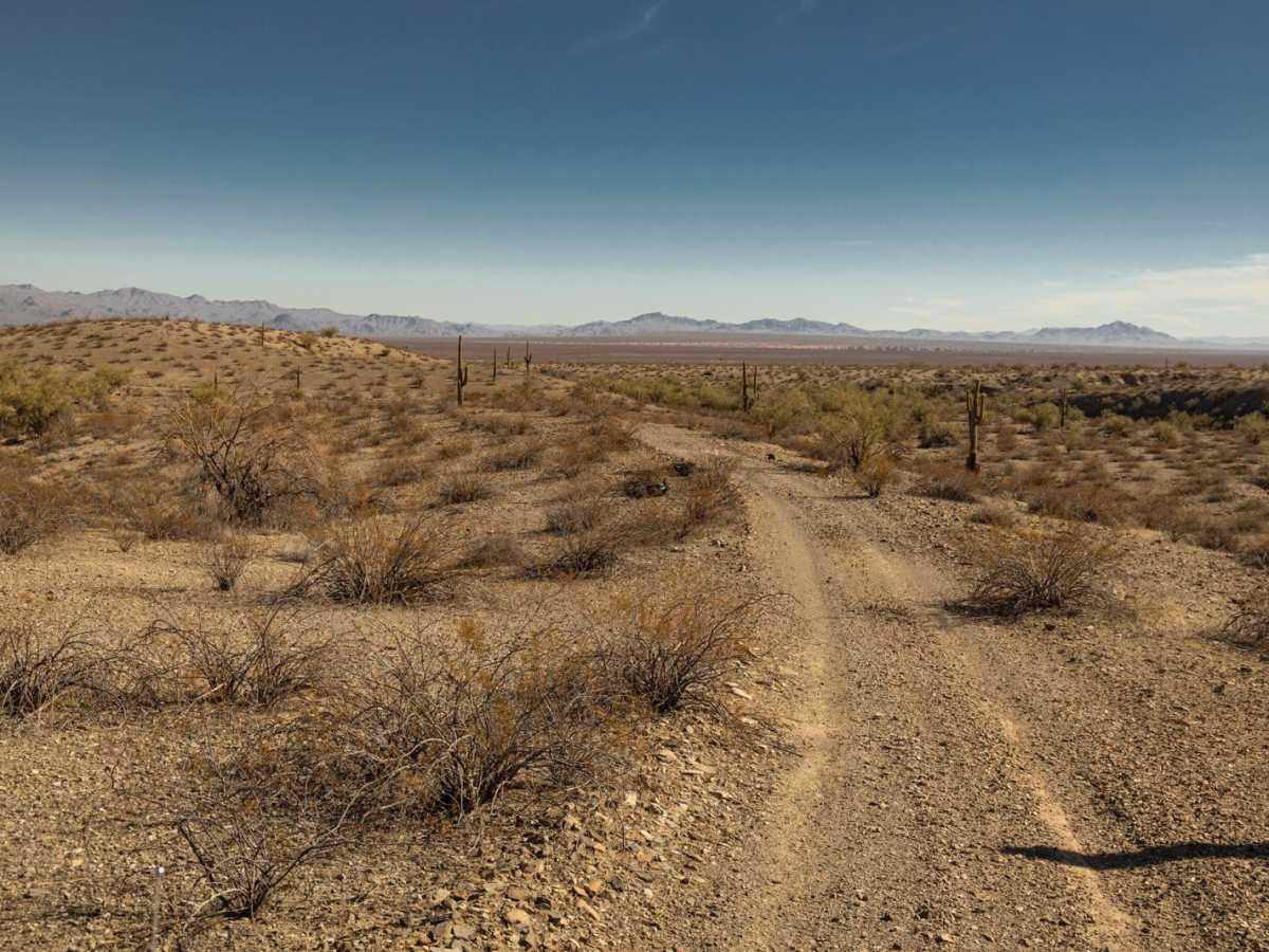
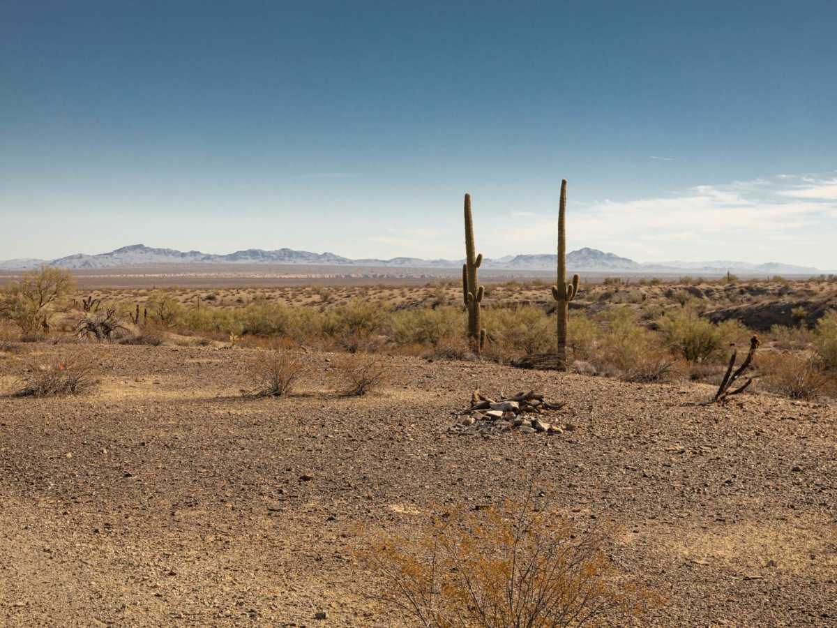
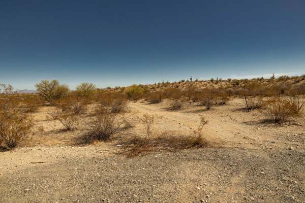
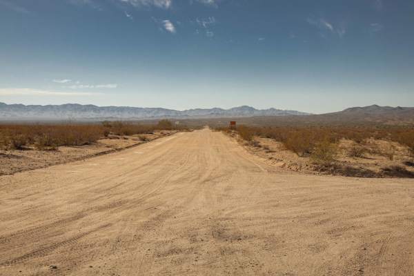
Rockridge was run from South to North. At the South end, you jump off on a sparsely marked trail. Leaving pavement, you're on a rock trail that runs along a ridgeline. Traveling from this direction (South to North) you're treated to views of the entire basin looking toward the Arrastra Mountain Wilderness. The trail rolls, but has no fear, as the short shelf sections hold no obstacles or any real danger. As you work your way down to the basin floor, you're moving into what appears to be a forest of Palo Verde Trees. In these trees, and the surrounding area, you'll encounter wash crossings with short, steep entrances and exits, with some off-camber sections. The trail is lined with creosote and other harsh desert fauna, some of which may cause paint damage, should they overgrow the trail. There are wild burros in the area, so don't be surprised to hear them braying in the distance, or see them on the trail. Other than the wash crossings, there are no major obstacles on the trail. The trail is one lane, so please stay on established paths. If you must exit the trail to pass or turn around, remember to TREAD LIGHTLY as this environment is fragile and is prone to lasting damage.
Difficulty
This is an unmaintained, one-lane rock trail. The wash crossings hold potential hazards, especially after or during a moisture event.