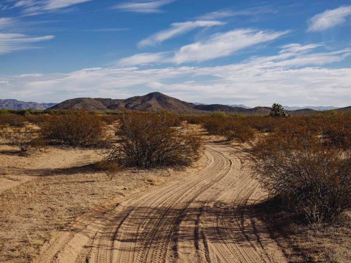
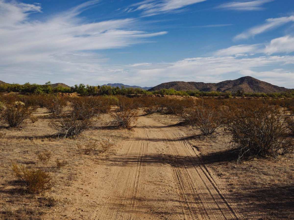
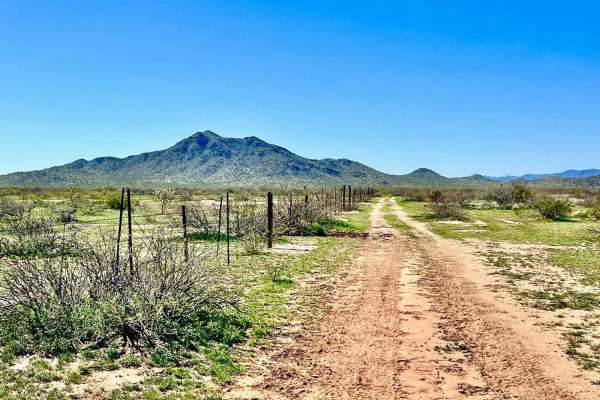
Trail Overview
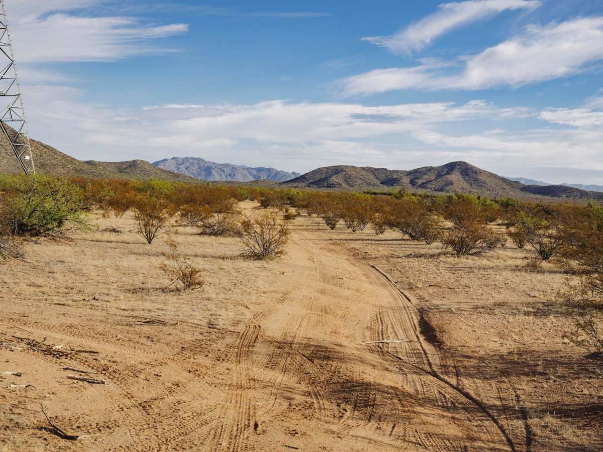
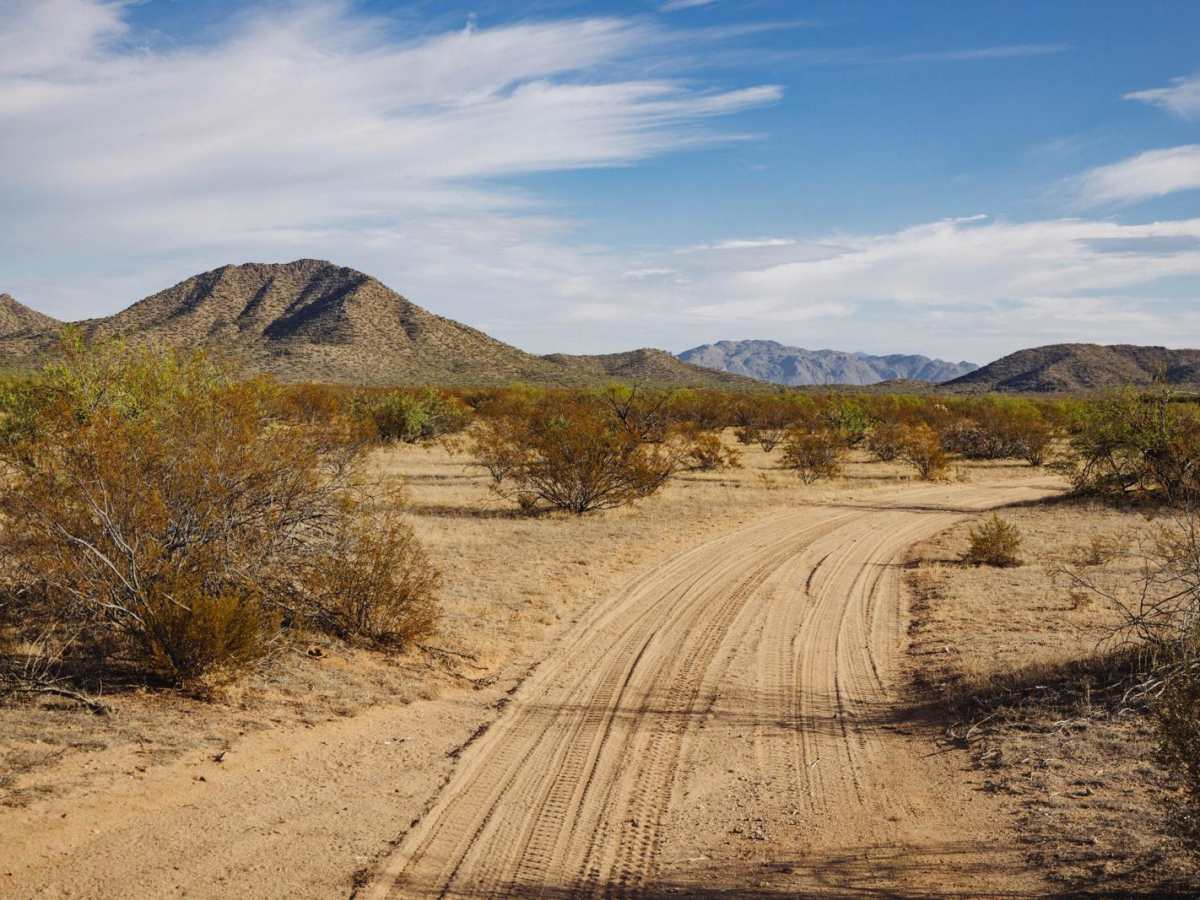
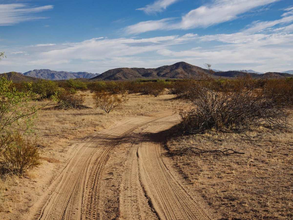
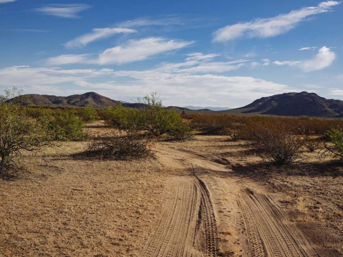
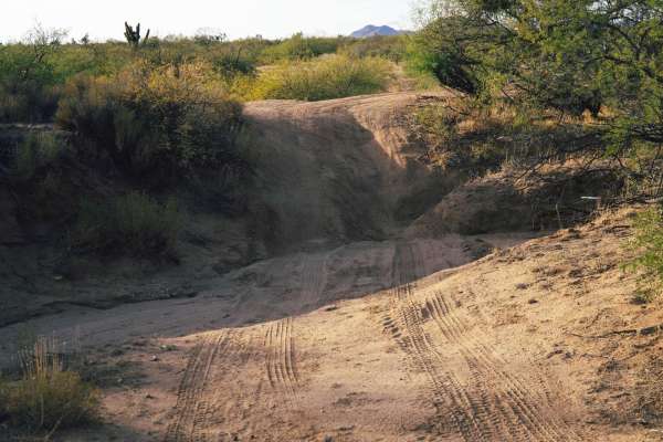
The Ritter Tank Saddle trail was run from West to East and starts in the dirt and desert lowlands of a section of Arizona State Land Trust lands. It is important to note that a permit is required to access these lands. The trail starts as dirt, wide, and gentle with minimal water damage and erosion. As you work your way East, past the old corral, the trail narrows considerably. Paint damage is probable through this section and up through the saddle. The saddle itself is rocky, with wash crossings with steep entrances and exits. There are short, steep climbs of loose rock and erosion along this trail with numerous spots that, depending on line choice, will pitch you off-camber.
Difficulty
This is an unmaintained trail that has numerous sections of water damage, washouts, erosion, and wash crossings. Any of these features might be exacerbated by moisture events or monsoon season. Toward the Western end of the trail, there is plenty of room to pass and/or turn around, but these chances become slimmer the further East (toward the mountains) you proceed. If you must leave the established path, please remember to TREAD LIGHTLY as this environment is fragile and is prone to lasting damage.