Trail Overview
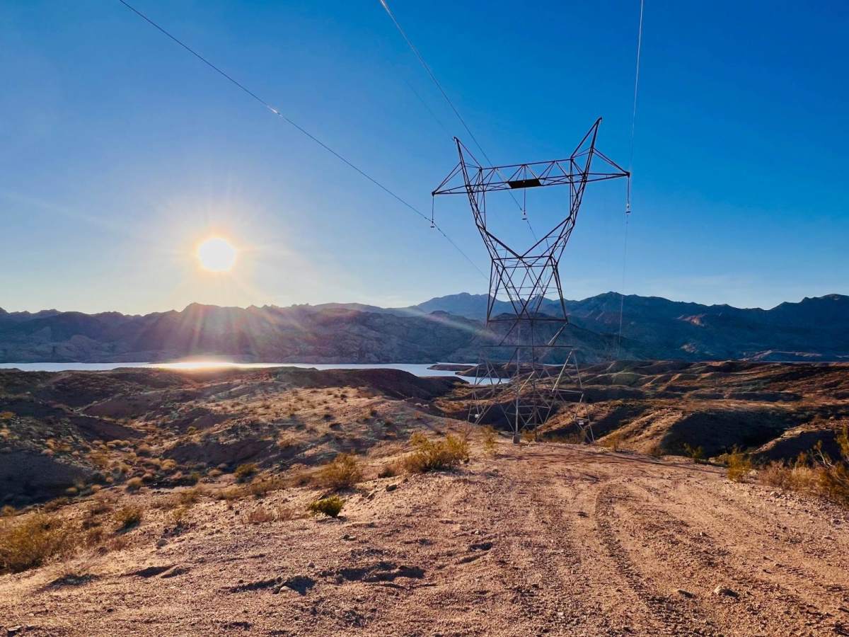
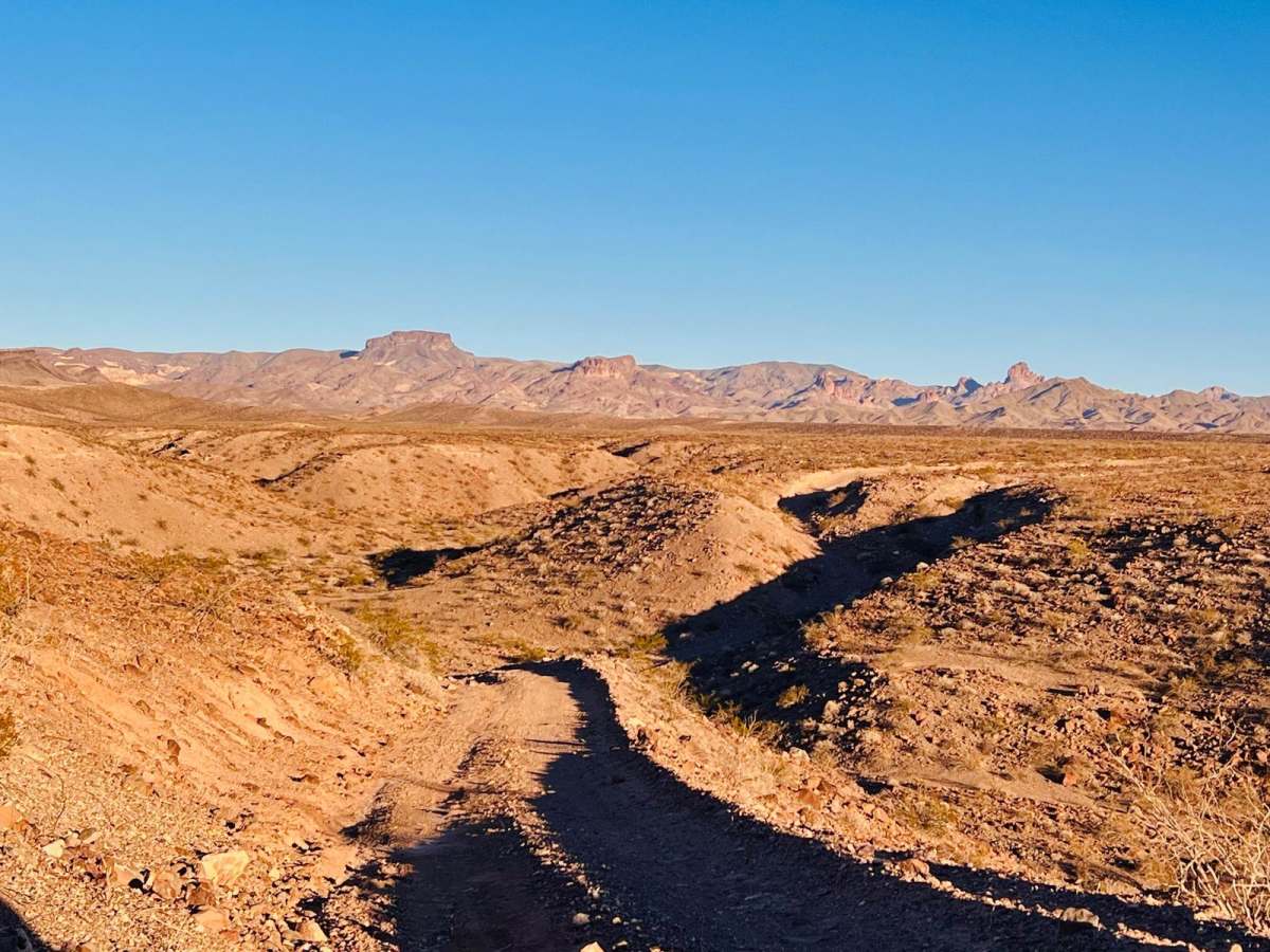
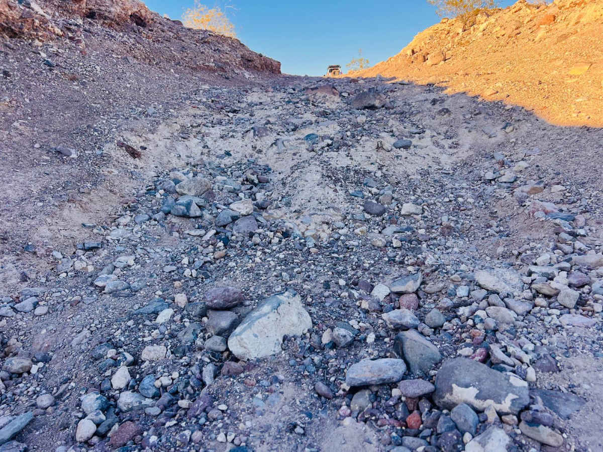
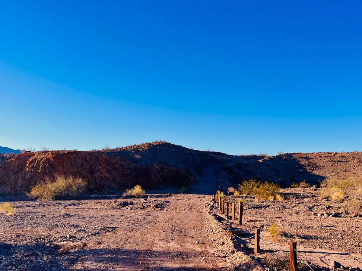
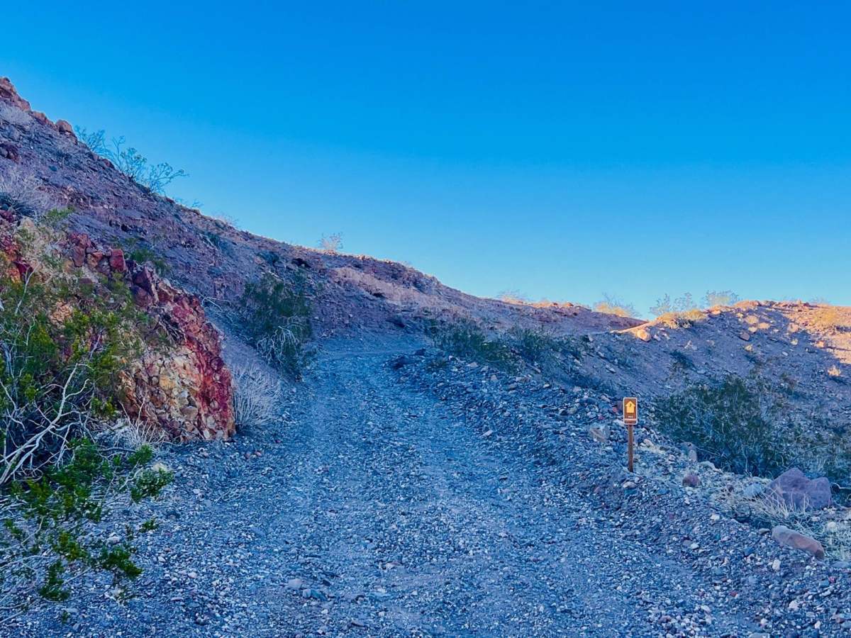
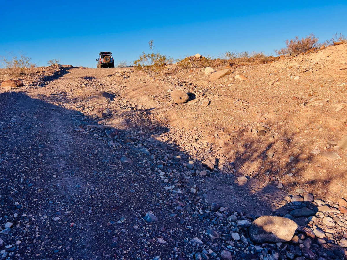
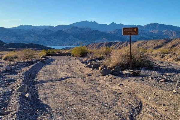
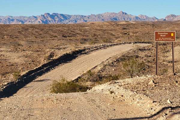
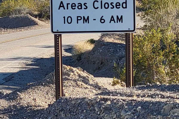
This trail starts from the lower wash on the Princess Cove Trail. It heads up a narrow, loose, rocky hill. The trail surface is rocky and bumpy for a while, running along the top of the ridge before dropping down a steep hill into a sandy wash. There are some rockier ledges to navigate in the middle of the hill. At the bottom is a short sandy wash followed by another steep, loose hill climb. This trail navigates several hilltops following large powerline towers. The original trail appears to lead out to an overlook and a possible camping area. Currently, the trail ends on top of one of the ridges overlooking Lake Mojave. There is a small circular turnaround right in front of one of the large powerline towers. It is possible to continue on foot out to the end of the ridgeline for a better view of the water and the surrounding mountains. The original trail still exists, but there is a large washout down one of the hills, making it dangerous to pass without trail maintenance. Federal regulations prohibit motor vehicles except on park roads and parking areas. Vehicles are permitted only on approved roads and only when they are properly licensed for street use. SXS, ATVs, and motorcycles plated for street use could access these trails. All other off-road driving is prohibited in this area.
History
Check out the Lake Mead Virtual Museum with historic images: https://www.nps.gov/features/lake/museum/historic-lake-mohave.html#12116.