Trail Overview
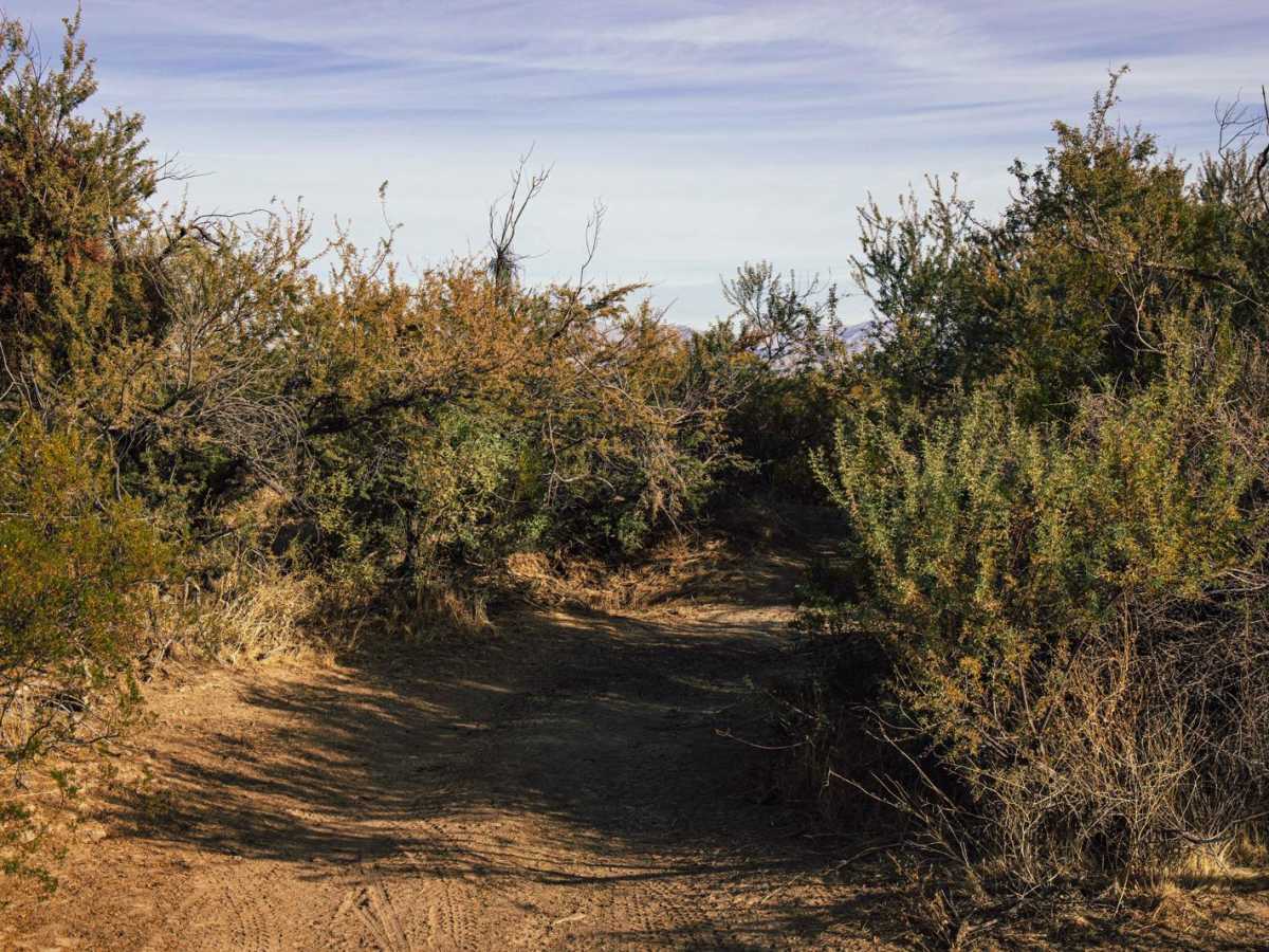
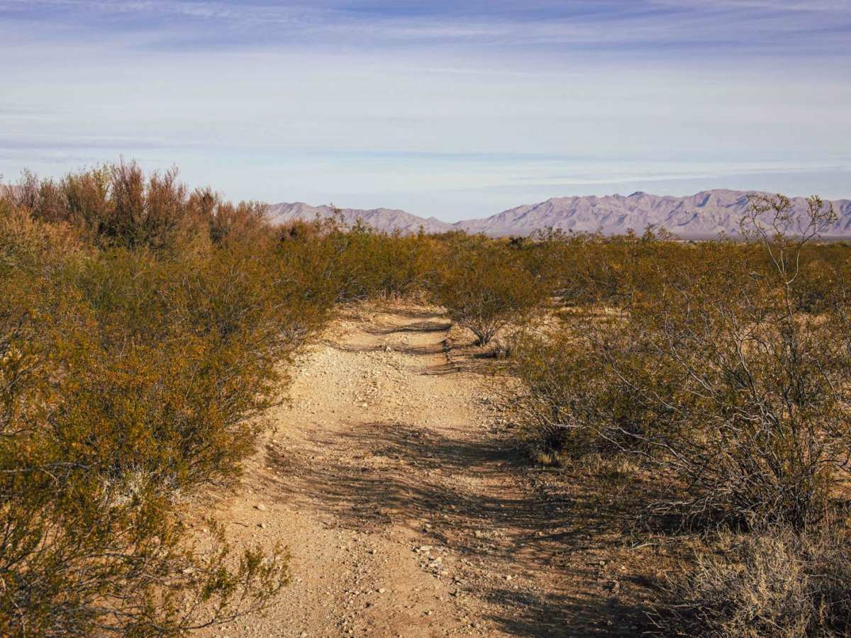
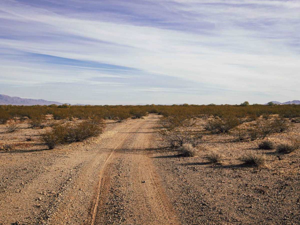
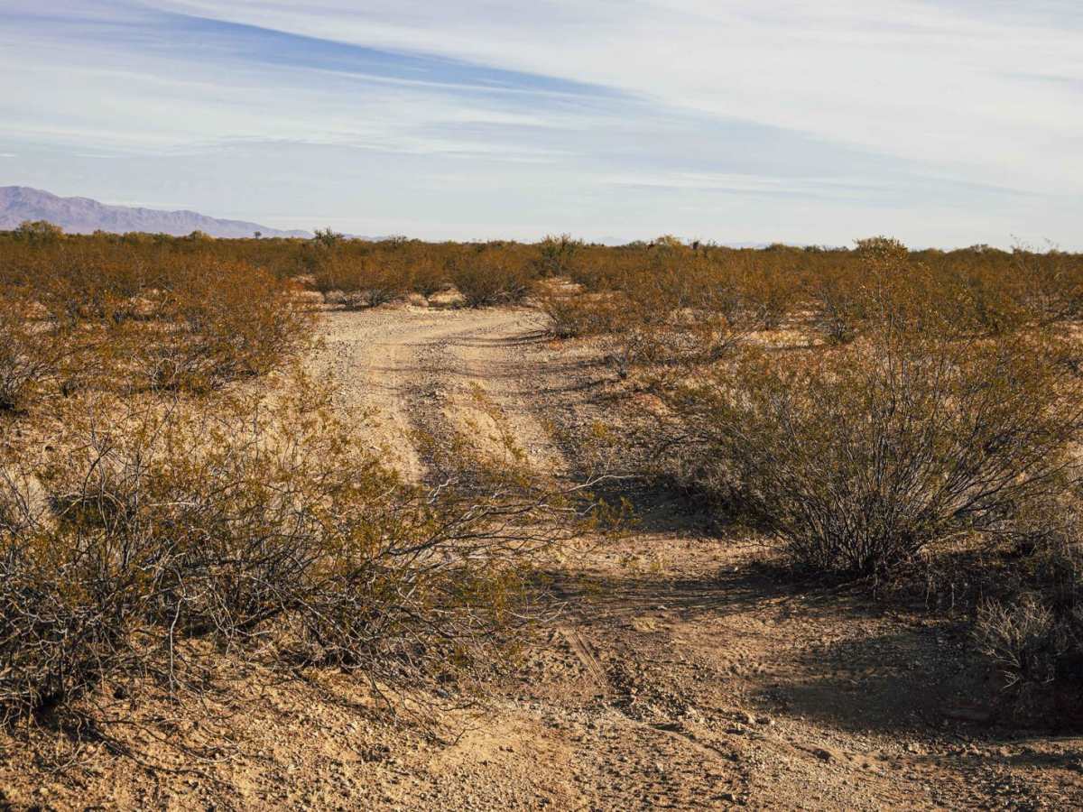
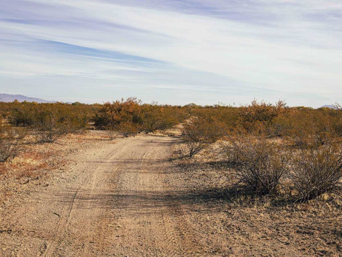
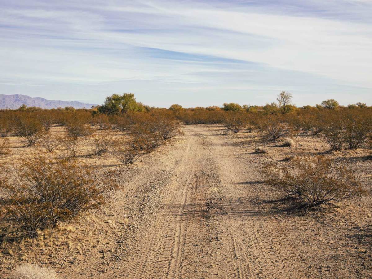
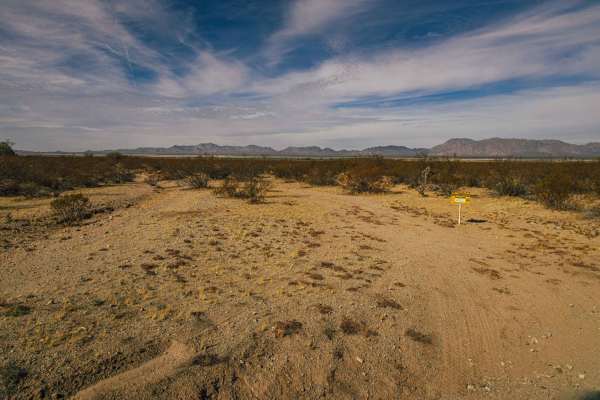
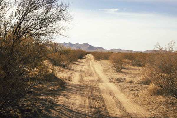
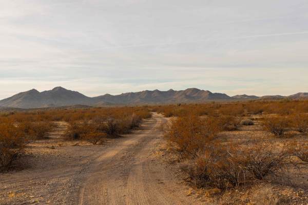
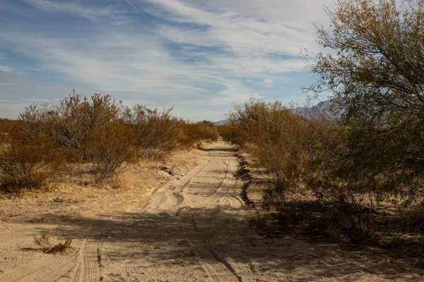
The Network Trail begins with a narrow path that requires careful maneuvering, but soon opens up to a larger network of trails, offering a mix of exploration and open space. Along the way, you'll encounter paint damage from brush along the edges, along with pretty standard erosion and water damage that is standard of trails here in the Arizona desert. The trail passes near canals and flows through open spaces, giving you a sense of freedom as you ride. As you continue, you'll find yourself near a neighborhood and crossing through Arizona State Land Trust Lands, which protect the natural beauty of the region. This trail offers a blend of rural landscapes and desert adventure, perfect for those looking to explore both nature and the edge of civilization. Keep in mind that Arizona State Land Trust requires a yearly permit that can be purchased and printed online. The permits allow certain recreational activities, including camping, bicycling, bird watching, GPS-based recreational activities (geocaching), hiking, horseback riding, off-highway vehicle (OHV) usage, photography, picnicking, and sightseeing. There are many trails through here that criss-cross, however the only clear exit (without impeding or trespassing) would be the way one came in.
Difficulty
This is an unmaintained trail that is mostly wide enough to pass and/or turn around, except for a few spots. There are some spots of erosion, but nothing that will ruin your day. Overall this is a cool area, and this is a great trail to dip one's toes into exploring the area.