Trail Overview
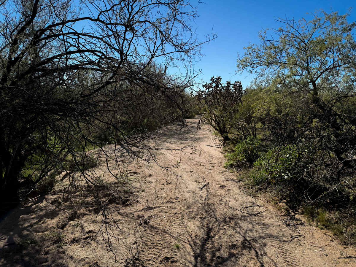
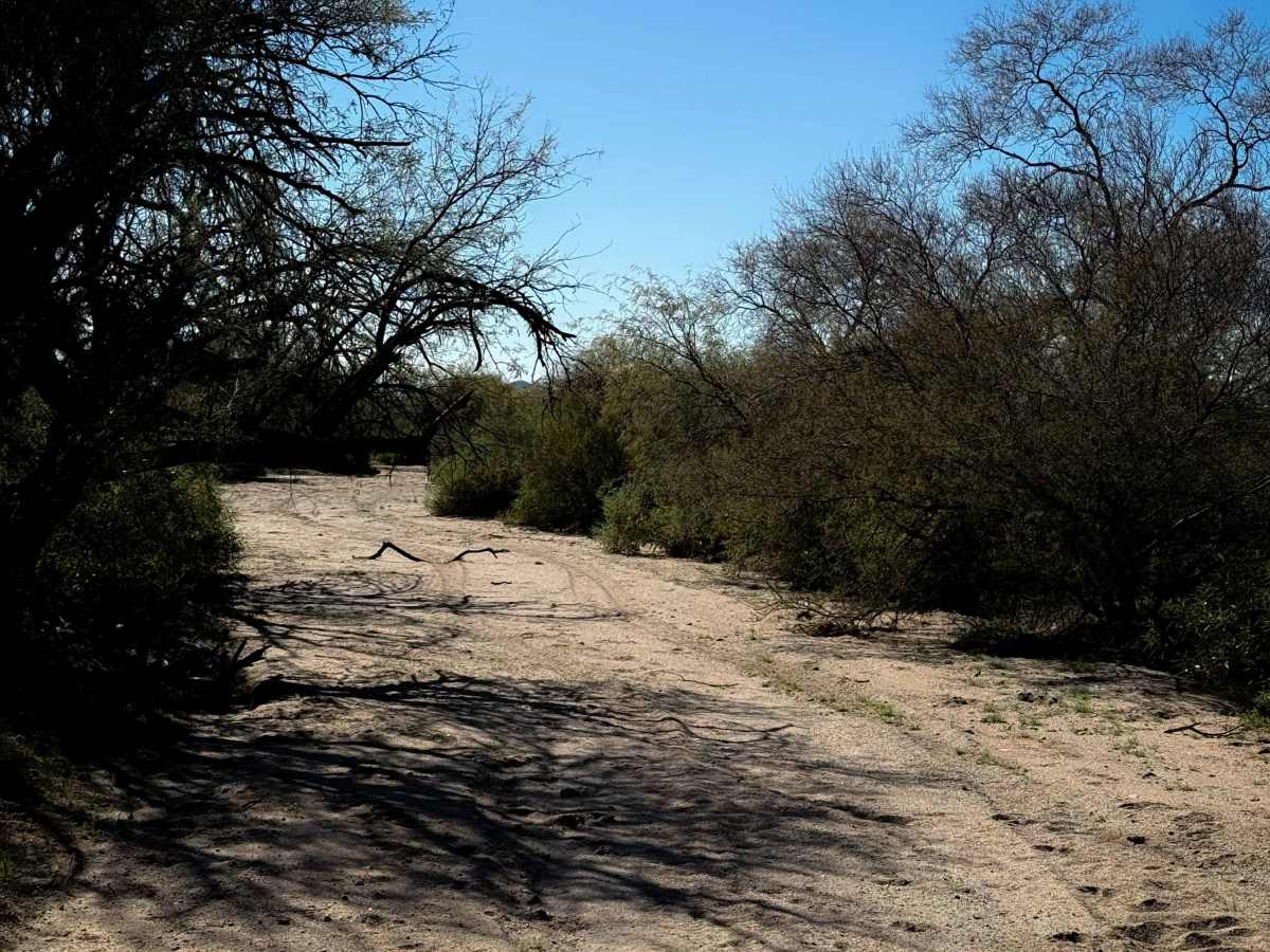
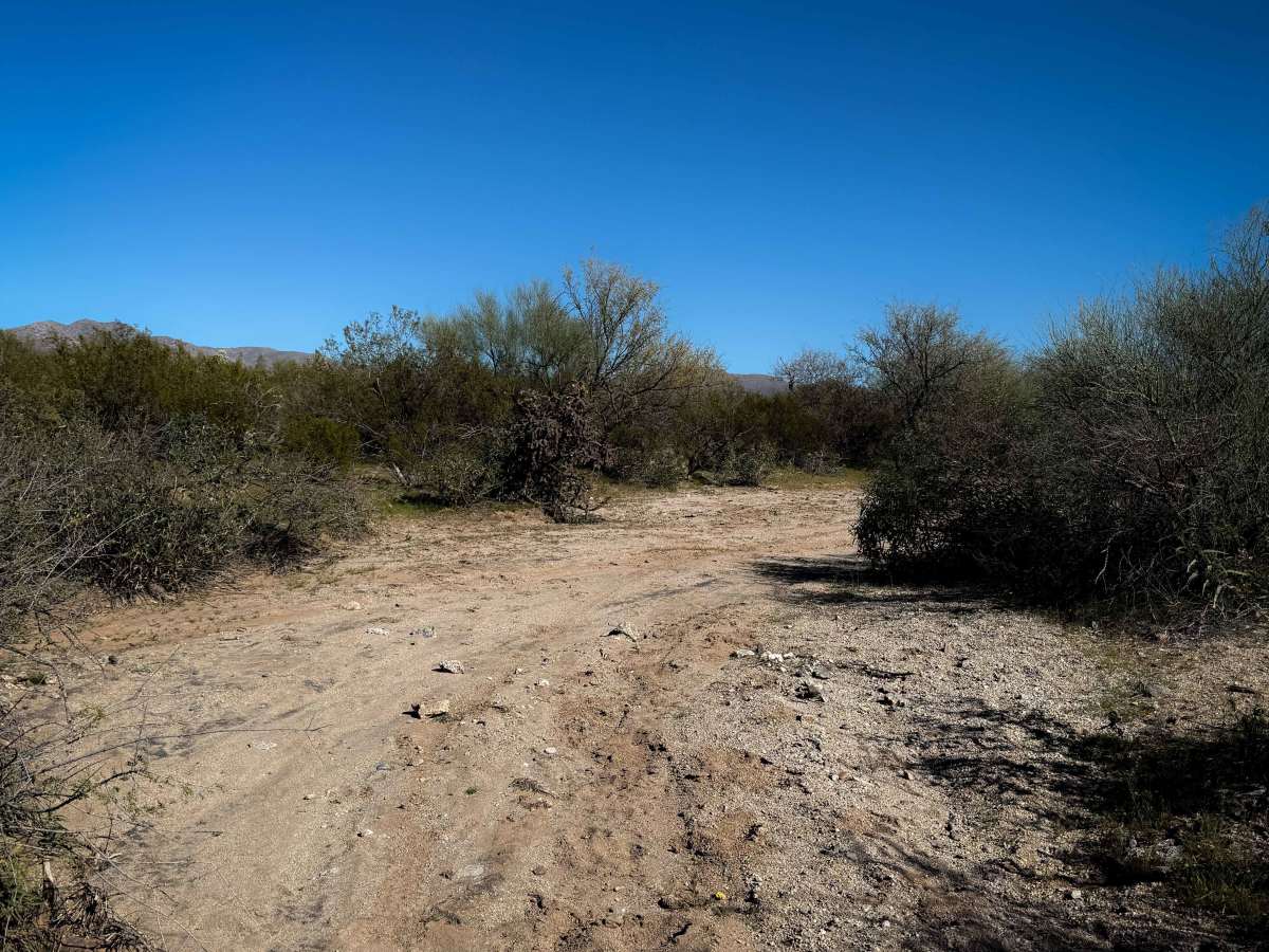
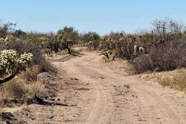
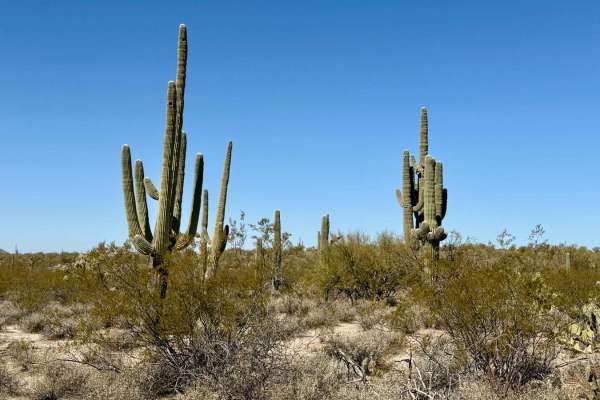
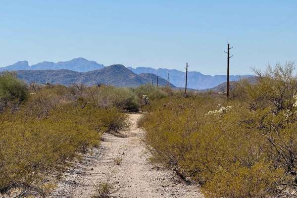
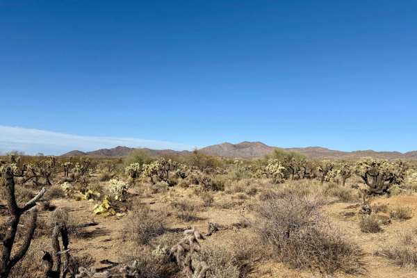
This is a more primitive wash trail that has fewer tracks from the east entrance. It goes through some narrow spots between the palo verde trees and ragweed bushes, where the branches are extending into the wash. It stays in the wash the entire time, with a few unmarked splits where the map is helpful to stay on route. There are fewer tracks to follow out here since it gets so narrow and overgrown at times. It appears less trafficked. There are several spots where the thorny bushes are overgrown and will grab you as you ride past. Other times it opens up and is wider. The wash surface itself is easy, just being smooth white sand with no rocks, but lots of cattle tracks. There is very minimal elevation change as it stays flat through the wash the whole time. The legal route dead ends in the wash after 1 mile. This trail is on Arizona State Trust Land, which requires a permit for recreation from the Arizona State Land Department.
Difficulty
The trail is easy as it just rides through smooth sand the whole time, but the route is narrow and overgrown, requiring some route-finding skills, which slightly elevates the difficulty. Expect lots of overgrown thorny branches.