Trail Overview
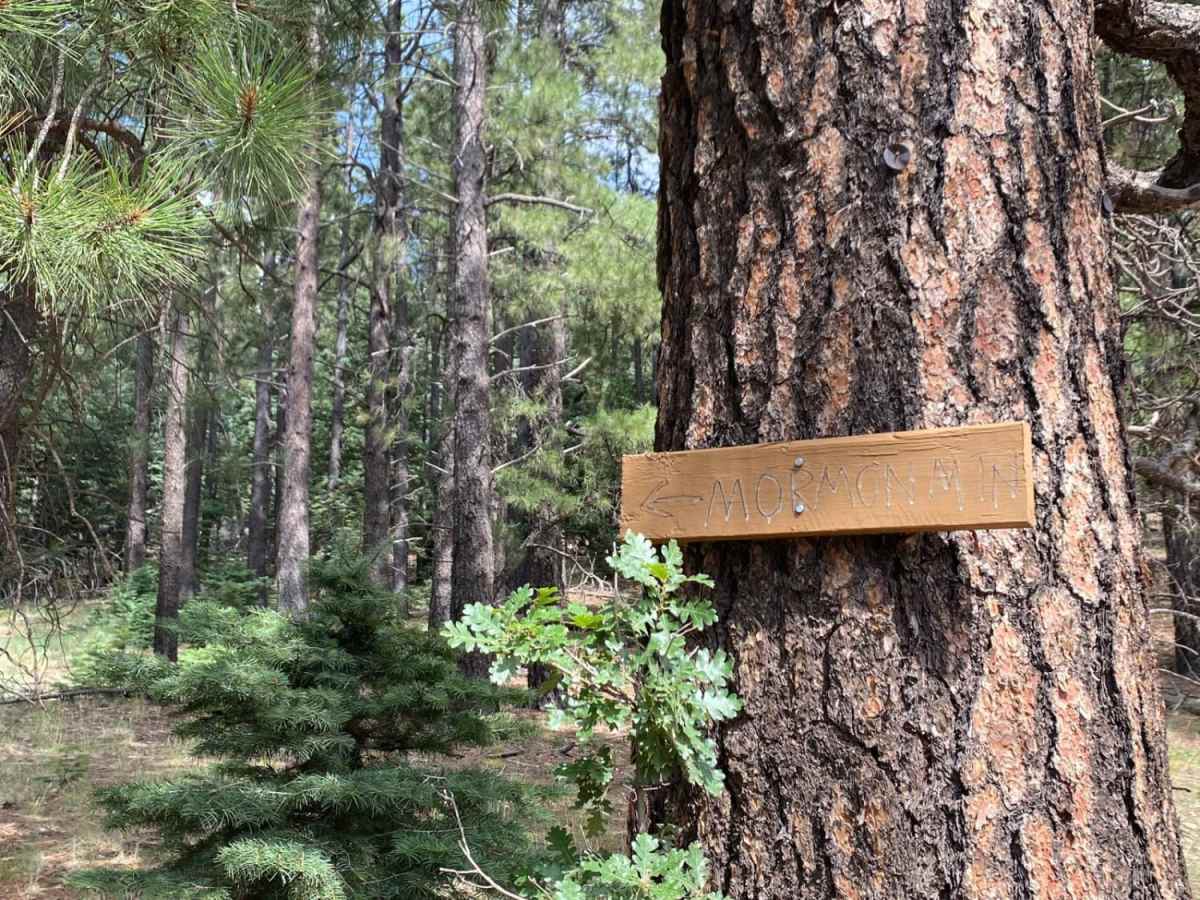
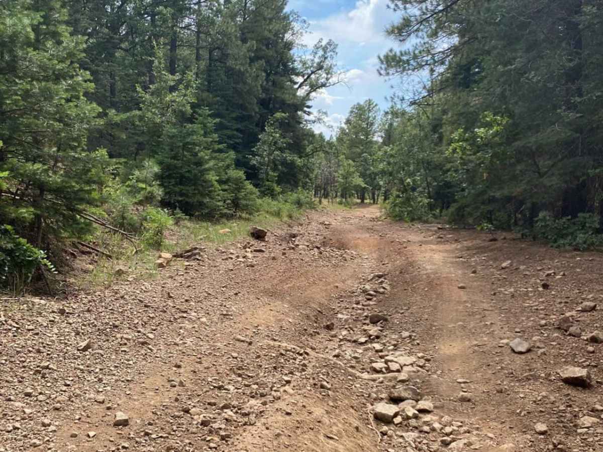
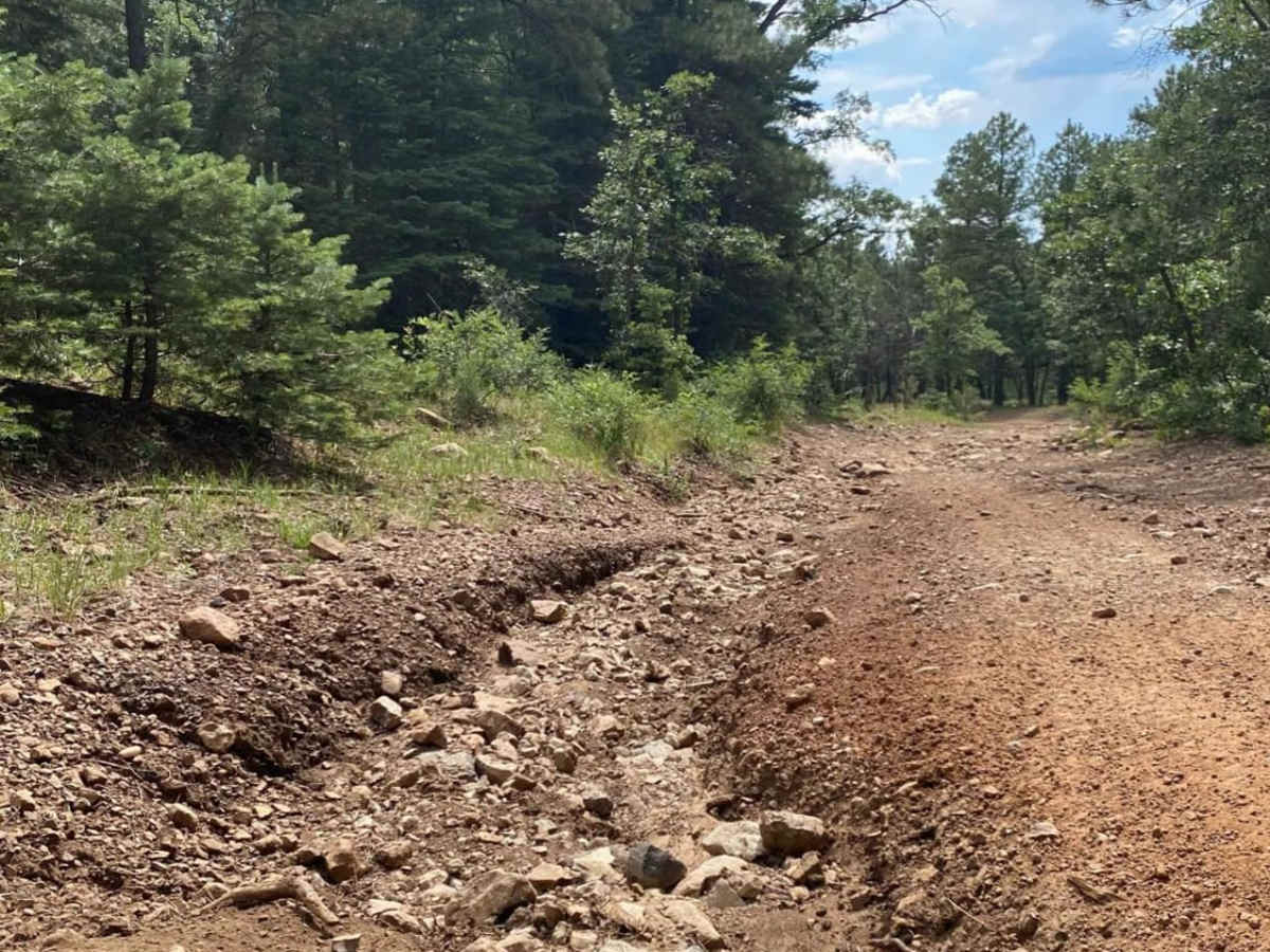
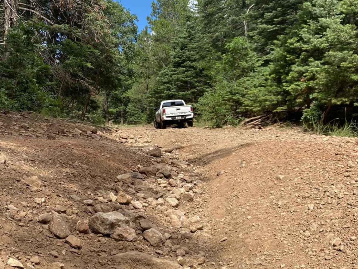
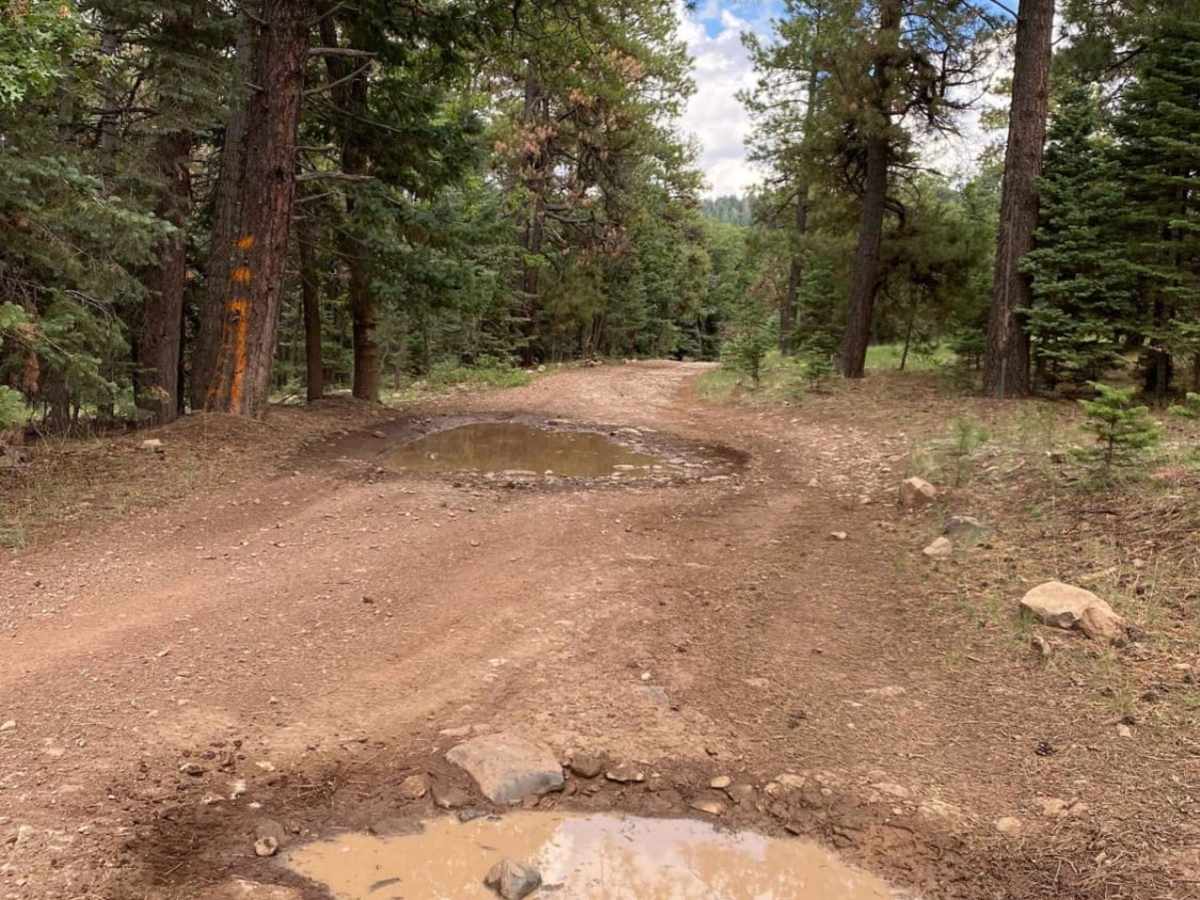
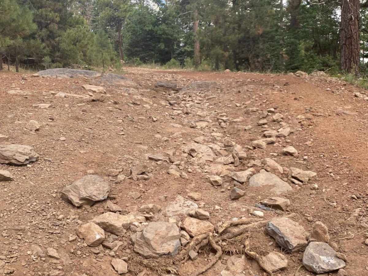
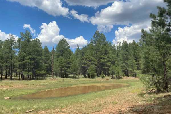
Mormon Mountain offers an engaging out-and-back climb for four-wheel-drive vehicles and SxSs seeking sweeping forest vistas and a moderate technical challenge in the Coconino National Forest. Stretching just over three miles, this trail ascends from 7,656 feet to near the peak at 8,477 feet, winding through dense stands of ponderosa pines, mixed conifers, and vibrant aspen groves. The route begins with deep ruts and loose rock, requiring high-clearance vehicles to navigate the initial bumpy ascent safely. As drivers climb higher, the terrain transitions into a mix of dirt erosion, buried rocks, and occasional mud puddles during wet conditions, adding a layer of tactical fun without becoming overwhelming.
Near the midway point, visitors will find a dedicated parking area for the Mormon Mountain hiking trailhead, which provides an option to explore the footpaths leading down toward Mormon Lake. The final stretch of the trail leads to the mountain’s summit area, characterized by several active communication towers and stunning panoramic views of the surrounding national forest. Wildlife is abundant along this corridor, with frequent sightings of mule deer, elk, and Abert's squirrels navigating the high-elevation forest floor. Since inclement weather and active rain can quickly fill the trail's ruts and increase the difficulty, checking local forecasts and exercising proper trail stewardship is highly recommended before heading up.
Difficulty
Dirt erosion with deep ruts mixed with loose and buried rocks. This is a bumpy ride to the top with some smooth areas. Active rain, or recent rain, will likely result in mud puddles of varying depths.
History
The summit of Mormon Mountain hosts several active communication towers that serve as key infrastructure for the surrounding region.