Trail Overview
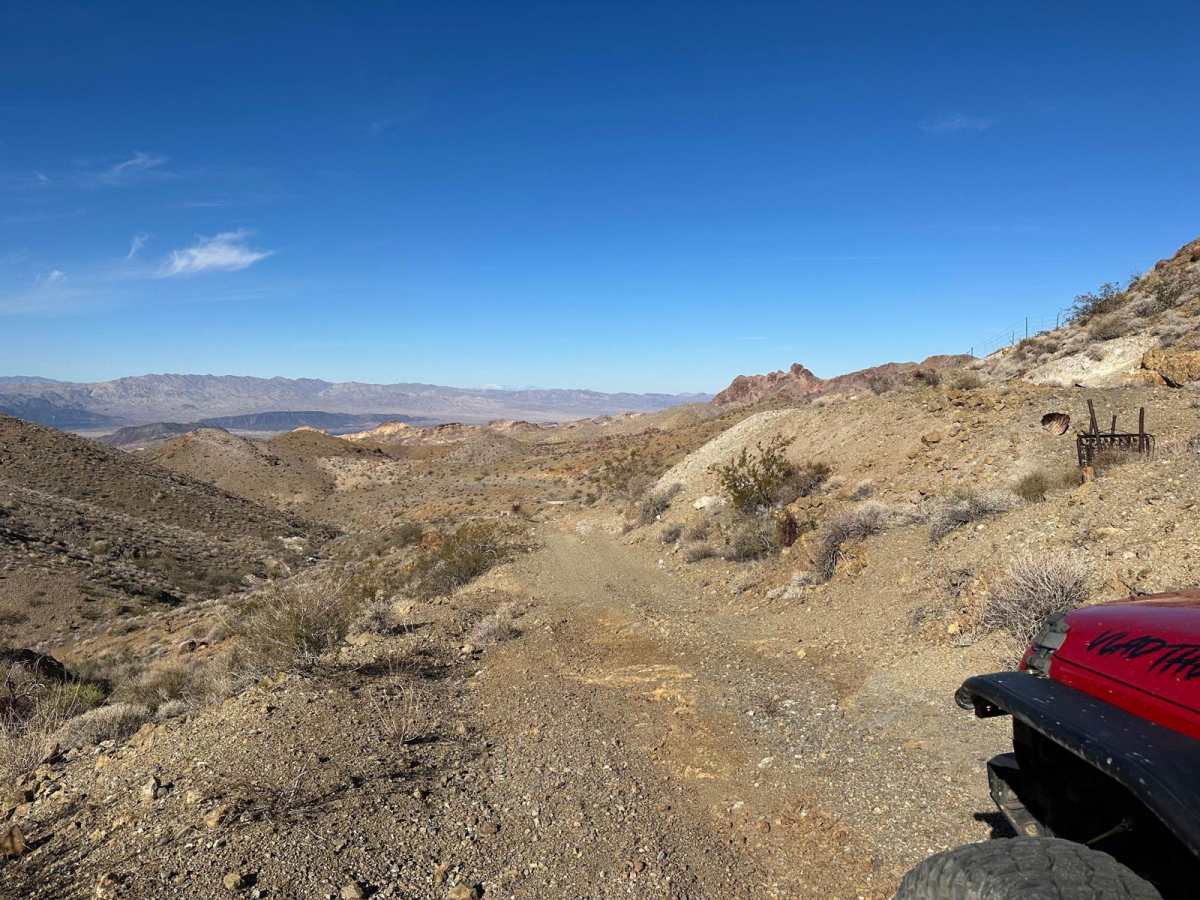
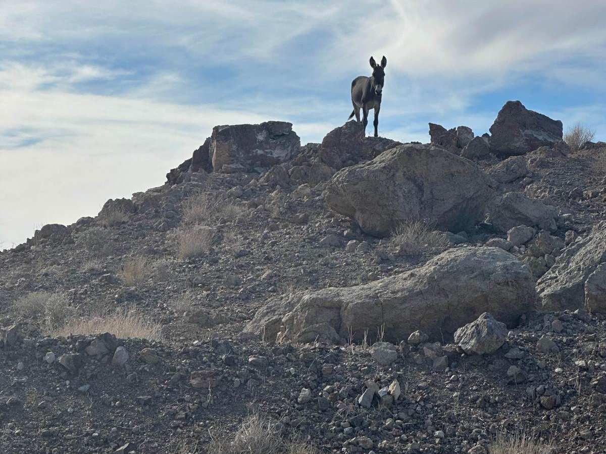
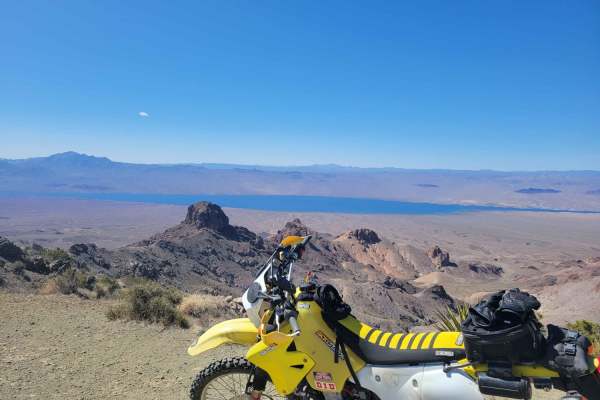
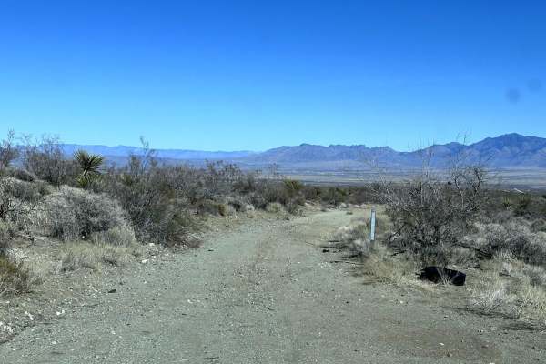
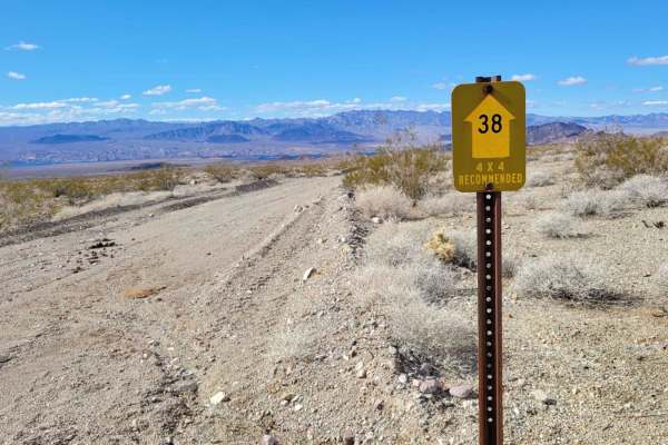
This scenic four-wheel-drive trail is perfect for intermediate offroaders, SxS drivers, and history buffs looking to explore historic mining ruins in the rugged Black Mountains. Spanning approximately 4.4 miles along the main track—which combines with adjacent roads to form a 6.6-mile loop—the route climbs through elevations ranging from 2,381 feet to 3,223 feet, offering sweeping views of Lake Mohave. The rugged desert landscape is home to numerous wild burros, which are frequently spotted traversing the surrounding hillsides and washes.
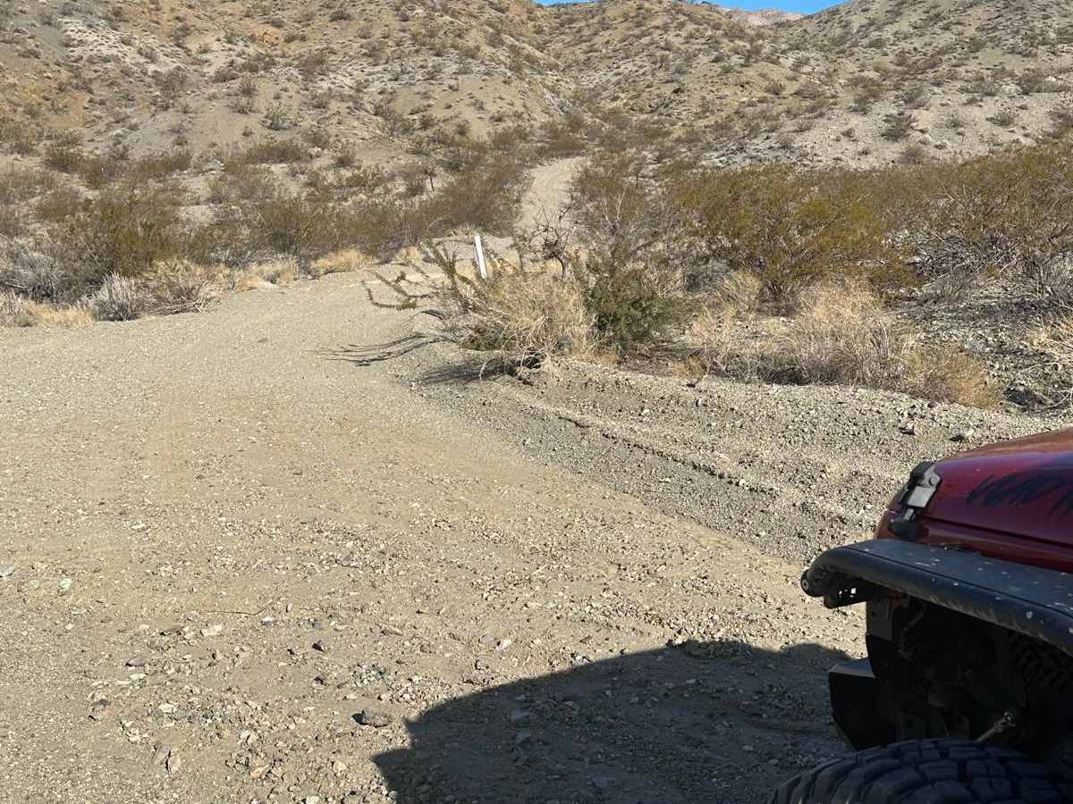
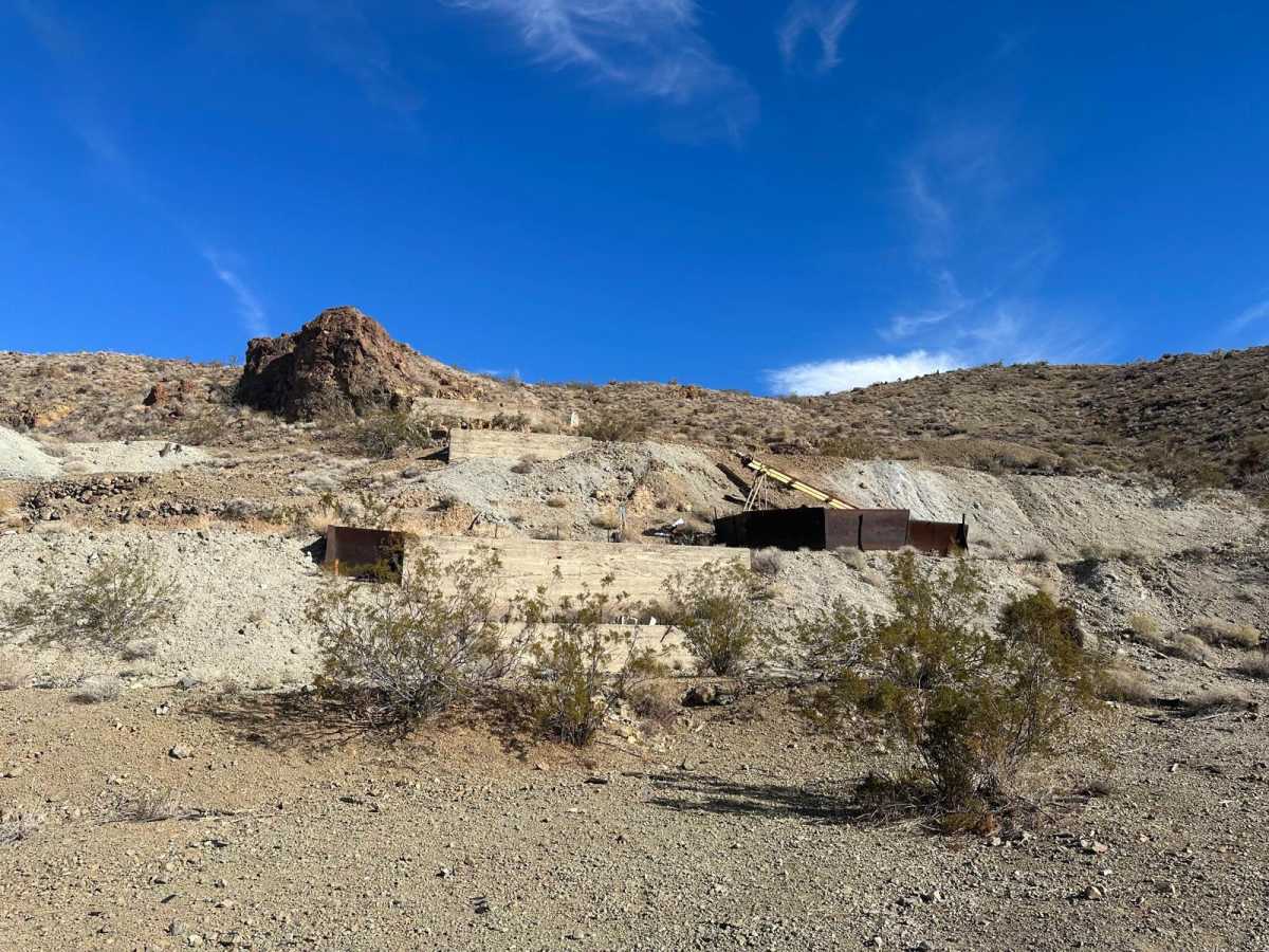
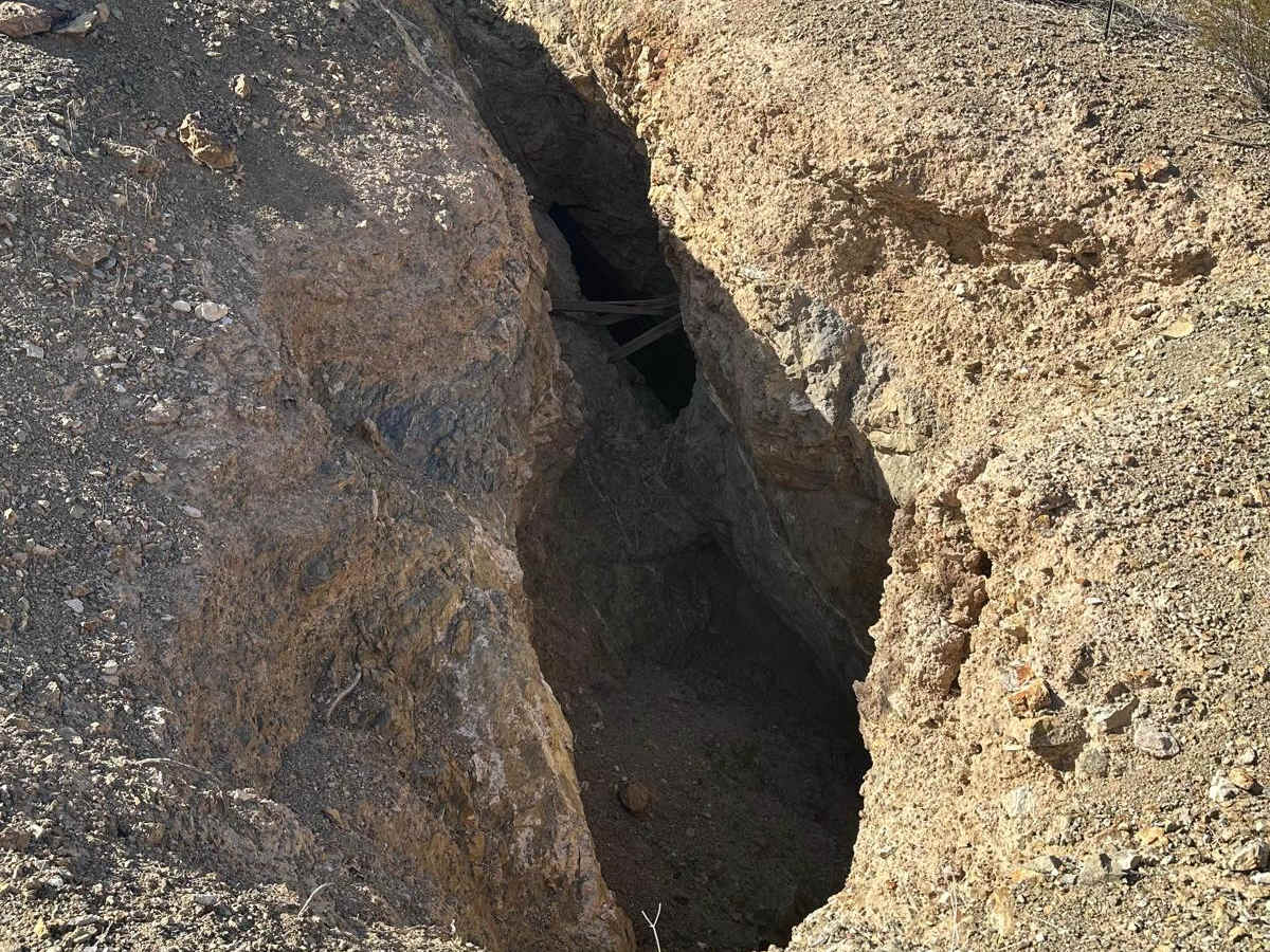
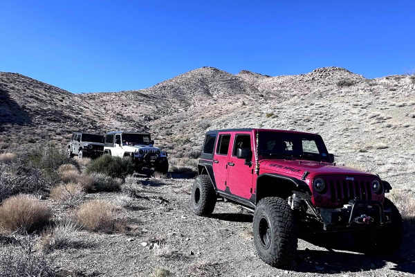
Driving this trail requires a capable four-wheel-drive vehicle or SxS, as erosion has created several deep, narrow washouts that demand careful wheel placement to avoid getting stuck or high-centered. The route winds past three prominent, closed gold mines: the Dixie Queen, Klondyke, and Dixie Gold mines, all of which date back to the late 1800s and early 1900s before operations ceased in the 1980s. Because these historic sites are highly unstable, visitors should enjoy the scenery from a safe distance and never attempt to enter any of the old shafts.
History
The rugged Black Mountains are rich with mining history dating from the late 1800s to the early 1900s. This trail accesses three notable idle gold mines: the Dixie Queen, Klondyke, and Dixie Gold mines. Active mining operations in this pocket of the range ceased entirely by the 1980s, leaving behind unstable structures, historical artifacts, and old access roads that are prone to severe erosion.
Access Description
The historic mines along this route are closed to the public and highly unstable; entry into any shafts or structures is strictly prohibited for safety reasons. Drivers should be aware that summer monsoons can drastically alter trail conditions, making washes deeper and causing significant washout damage. High-clearance four-wheel-drive vehicles or SxSs are recommended.