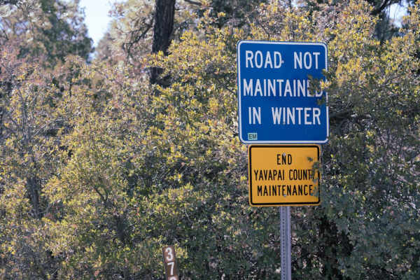
Jack Pine Road

Total Miles2.1
Technical Rating
3Easy
Best TimeSpring, Summer, Fall
Trail TypeFull-Width Road
Accessible By
Open Trail Map

Trail Overview

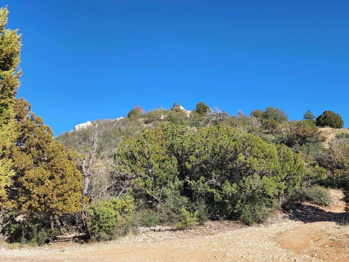
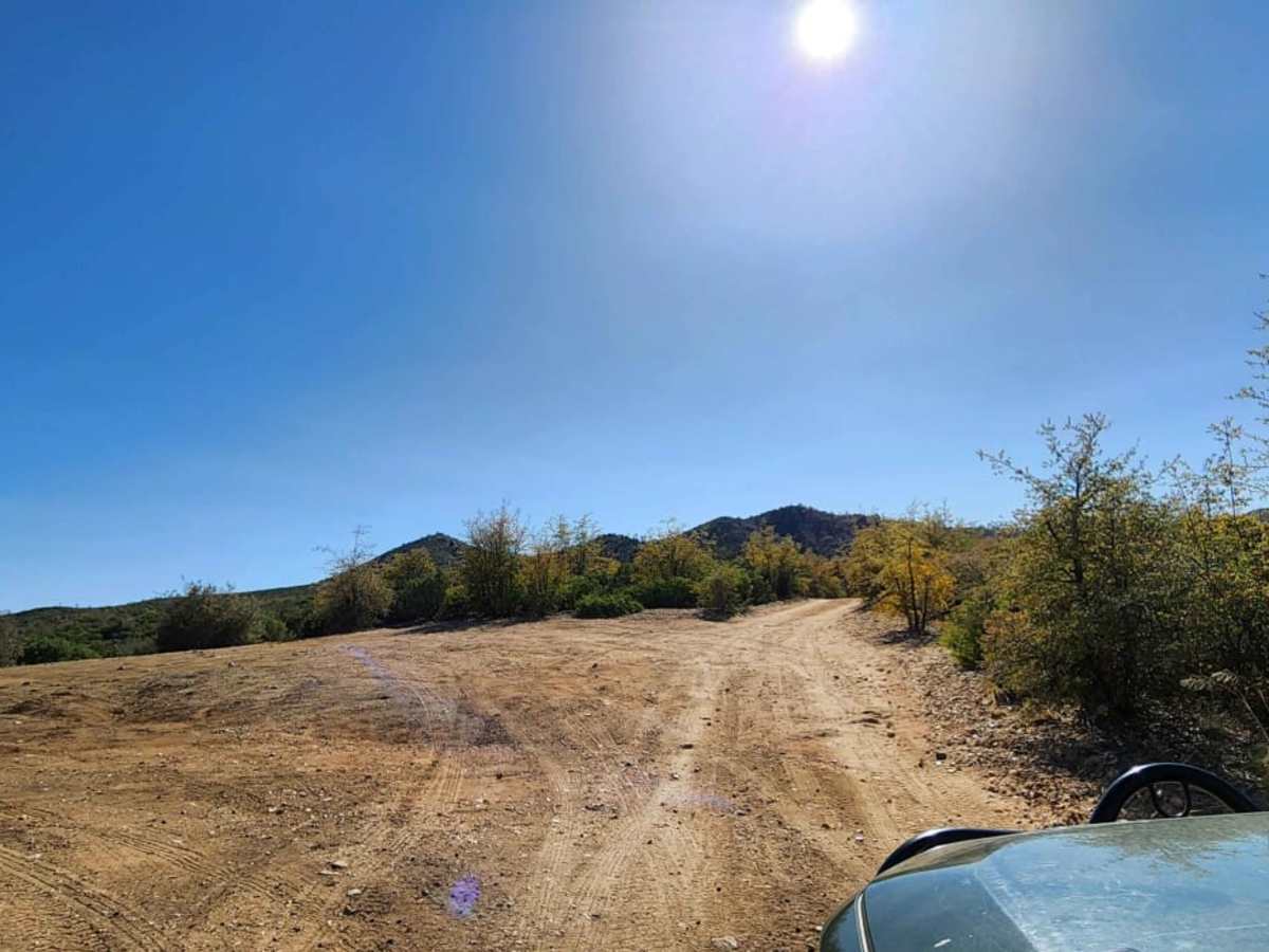
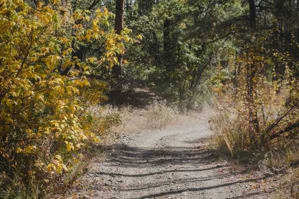
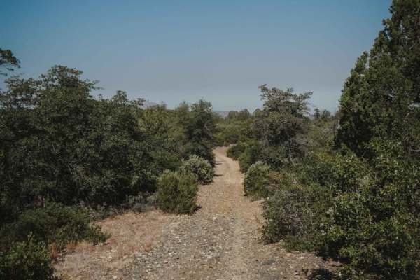
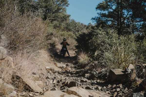
Jack Pine Road is a scenic and moderately challenging 2-mile offroad route in the Prescott National Forest, perfect for stock SUVs and high-clearance 4WD vehicles looking for quick mountain views. Beginning just off Highway 89 (White Spar Road) south of Prescott, Arizona the trail climbs roughly 724 feet from an elevation of 5,549 feet up to 6,275 feet near the base of Wolverton Mountain. As you ascend the unpaved track, you are treated to sweeping views of the valley below weaving through pine trees and chaparral. A key decision point occurs at a fork in the road: taking the left fork provides a milder more straightforward climb, while the right fork offers a more demanding path with loose dirt and small rock ledges that require careful wheel placement. With a technical rating of 3, this trail is accessible for most high-clearance four-wheel-drive vehicles under dry conditions. Cell service is highly spotty throughout the climb, though it generally improves as you approach the higher vantage points near the top. Dispersed camping spots are scattered along the route, offering peaceful forest settings, though visitors should check with the Prescott National Forest for current regulations and fire restrictions. In addition to vehicle recreation, the road provides convenient access to local hiking trails, making it an excellent base camp or quick afternoon getaway for outdoor enthusiasts.

Photos of Jack Pine Road

Difficulty

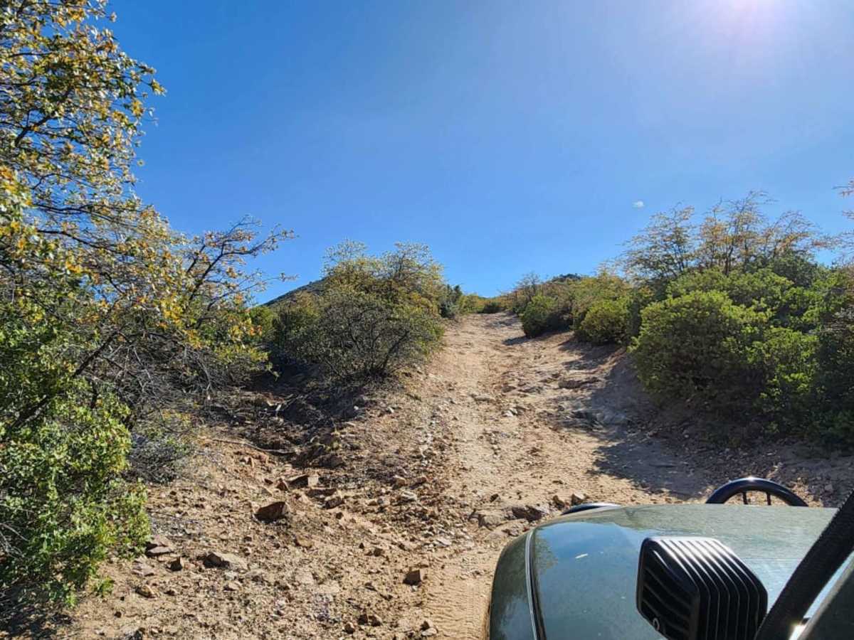
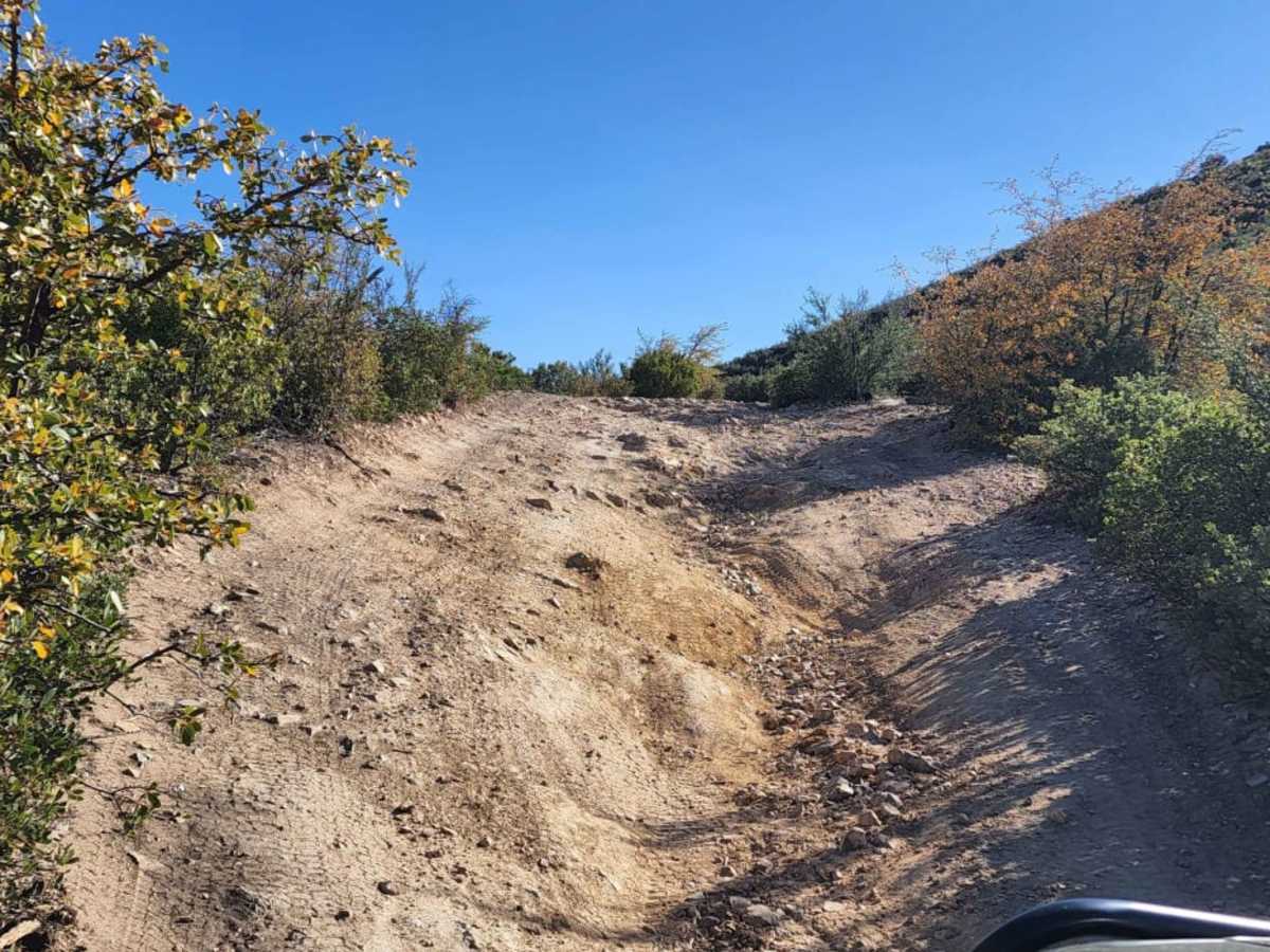
The Left road is not as difficult as the Right road, you will find rock ledges and lose dirt, impassible in snow!

Technical Rating

3

Status Reports

Add Status Report
Mean Joe
Mar 26, 2026
2020 Jeep Wrangler Rubicon
Open
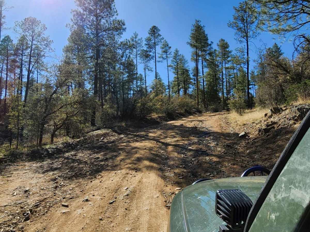
Most of this trail is pretty easy. The views improve as you climb, but it also gets a little more difficult as you get closer to the top. The first section that requires some attention also has a bypass on the left (pictured). That bypass seems a bit smoother to me. The next challenging section is a little washed out on the center of the trail. Picking a good line will help here. The current condition of this section might push the trail to a 4. Pretty quiet out here for being so close to town.
Omar Mejia
Jan 02, 2026
2011 BMW X5
Open
Muddy/WetRough/Deteriorated
Couple spots looked intimidating but most off-road 4wds should have no problem. Fun little trail to test out your vehicle and see some views
Chris Nimmo
Nov 25, 2025
Open
Rough/Deteriorated
Should be an easy trail but lots of deep ruts due to recent rain. Last section is a little challenging but passable. Had to up ride height and use low range on the last climb due to the ruts and loose rock. Very short trail but fun with great views.
Trevor Kaiser
Oct 19, 2025
Open
NormalRough/Deteriorated
Lots of erosion from the recent rains, some spots with lots of loose rock. The ascent right before the top stopped us (kids aboard). Had trouble getting the right line for that portion, will try again with no kiddos. Saw a Rubicon on the way out, otherwise just us!
Richard Vasquez
Nov 03, 2024
Open
Sam Knight
Dec 09, 2023
Open
Rough/Deteriorated
Vincent Roque
Nov 28, 2023
Open
Normal
Vincent Roque
Sep 13, 2023
Open
Normal

Jack Pine Road Trail can be accessed by the following ride types:

  • Single Track
  • 50 Inch
  • 60 Inch
  • High Clearance
  • Full Width

Access Description

Jack Pine Road is located within the Prescott National Forest. No permits or fees are required to drive the trail or for dispersed camping. The trail may become impassable due to snow or mud during winter months or after heavy rainfall. Always check the Prescott National Forest website or local ranger district for seasonal closures and current fire restrictions.

Jack Pine Road Map

The onX Offroad Difference

onX Offroad combines trail photos, descriptions, difficulty ratings, width restrictions, seasonality, and more in a user-friendly interface. Available on all devices, with offline access and full compatibility with CarPlay and Android Auto. Discover what you're missing today!

Open Trail Map