Trail Overview
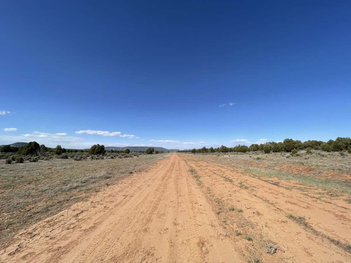
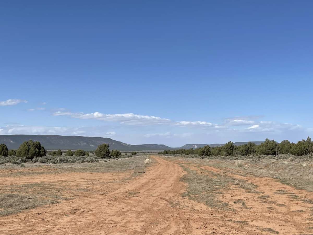
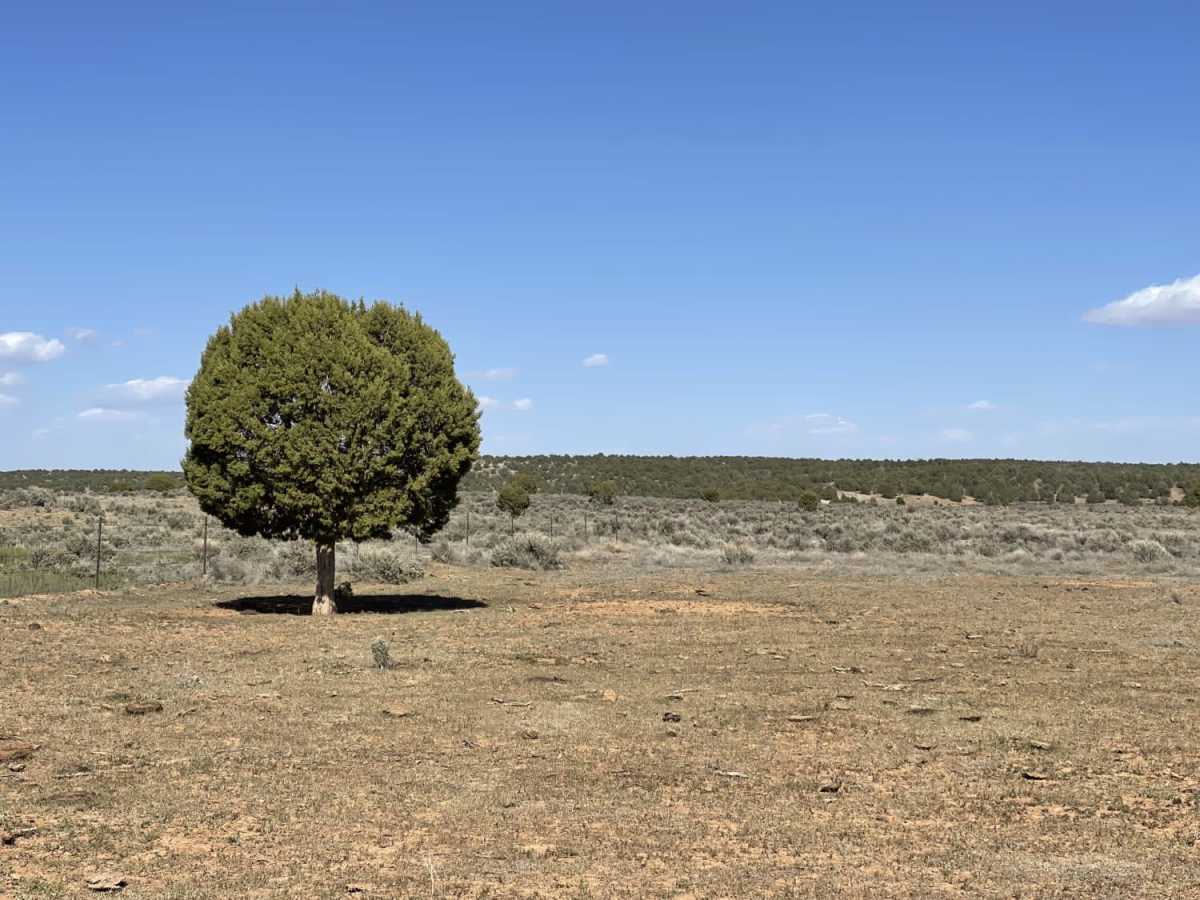
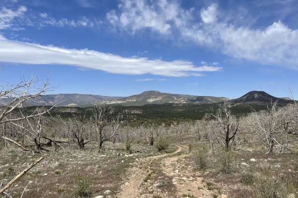
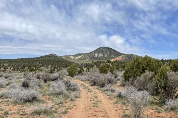
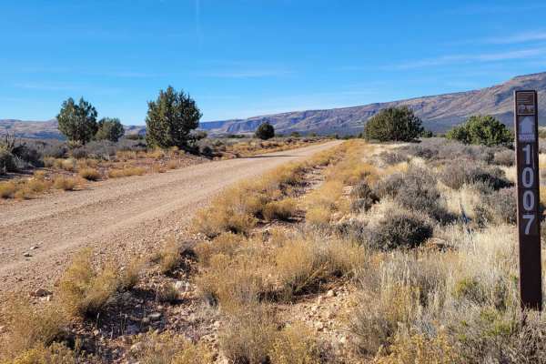
Imlay Dirt Airstrip Road is an easy, scenic 2.7-mile two-track route on the Arizona Strip that is perfect for beginners, scenic cruisers, and those seeking a unique backcountry experience. Running through remote territory with virtually no elevation change, staying around 5,100 feet, this trail stands out for its starting point at a rustic, unpaved airstrip. The southern end of the trail follows a hard-packed dirt runway, evoking the feeling of a remote backcountry airstrip, before transitioning into a straightforward two-track route. This level track is suitable for most high-clearance four-wheel-drive vehicles, SxSs, and dirt bikes looking for beautiful valley views without challenging obstacles.
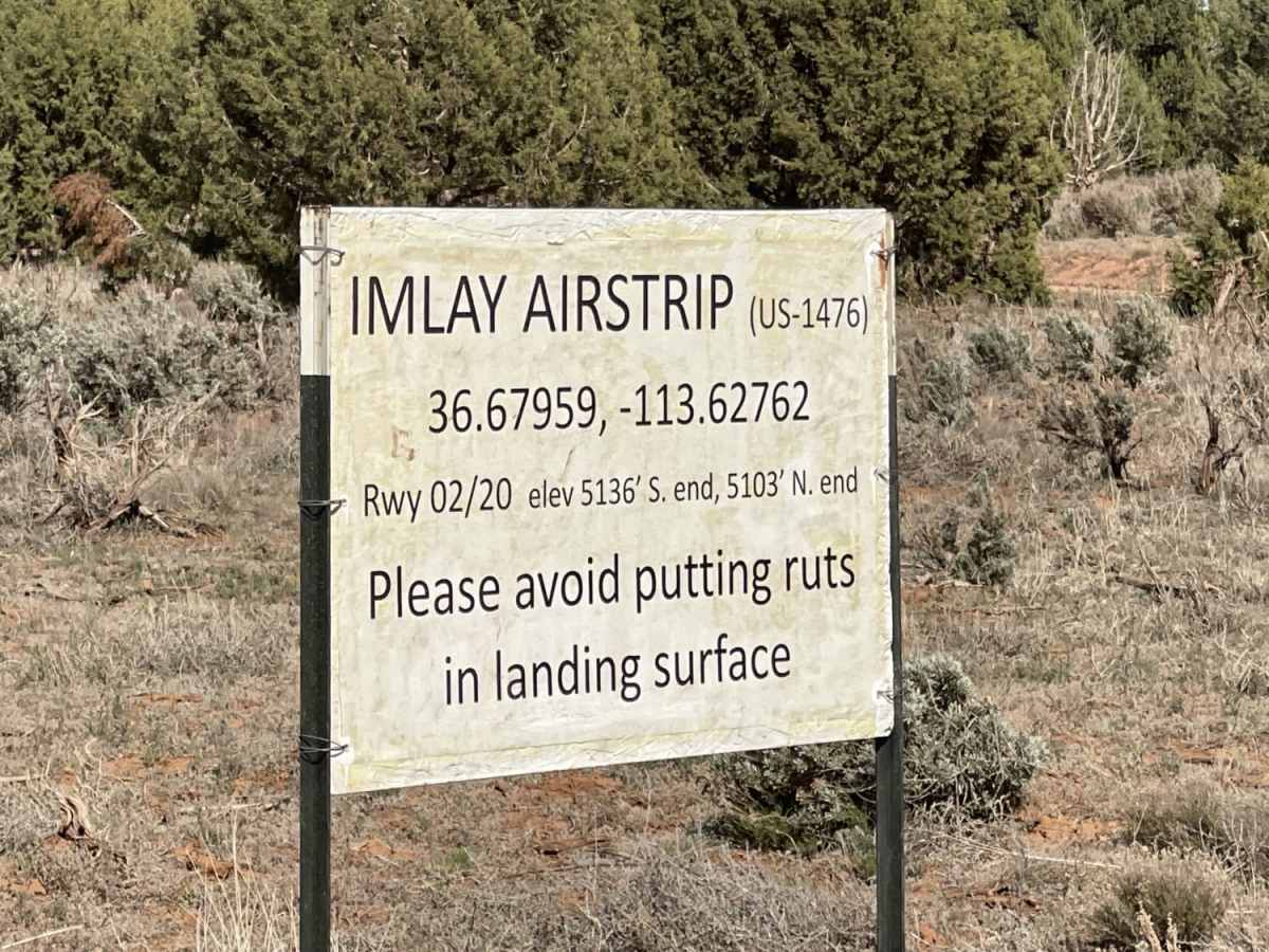
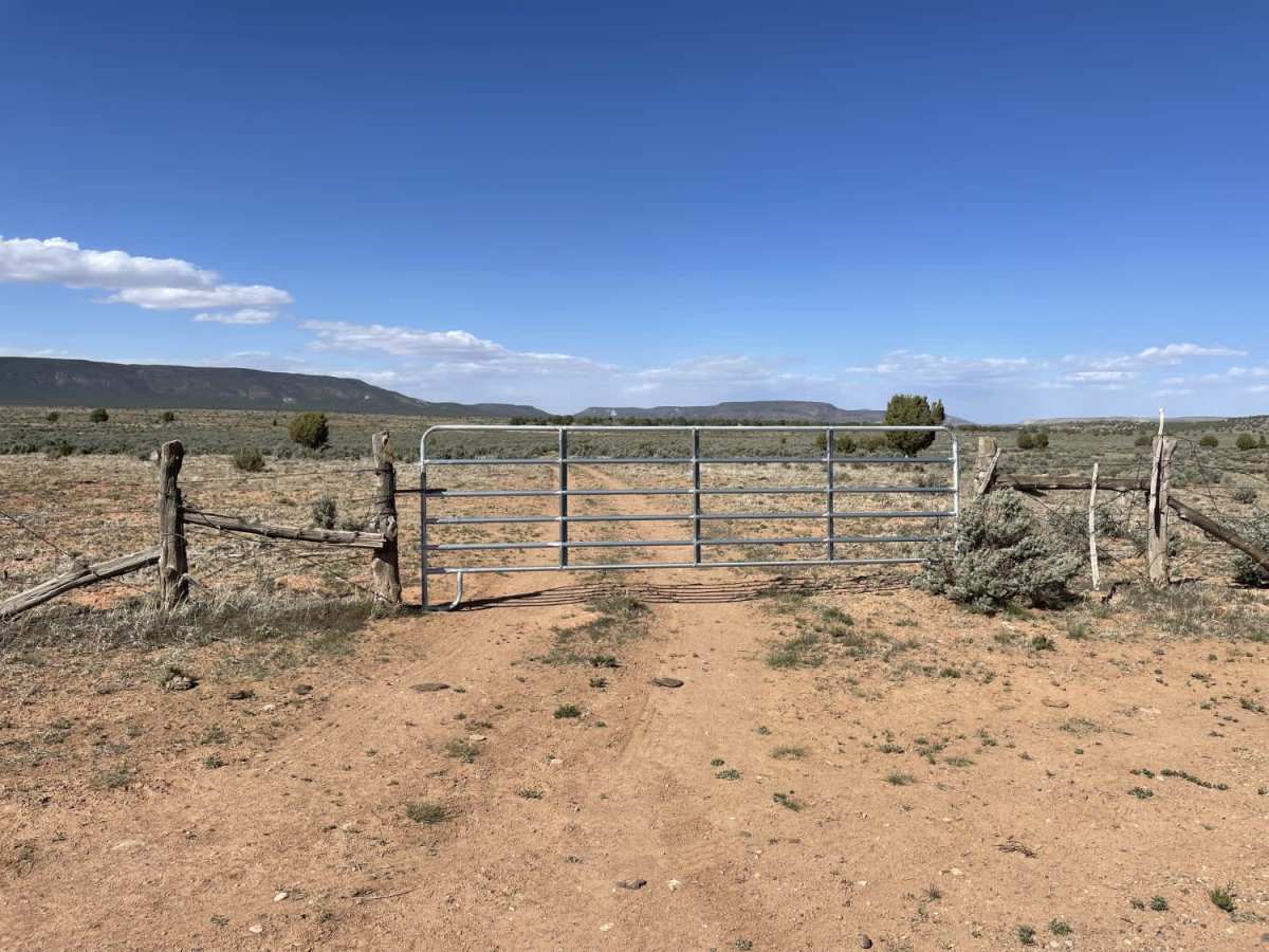
Because of the hard-packed dirt surface, driving on the airstrip section when wet can cause deep ruts and damage the landing strip, so this route should only be traversed in dry conditions. Travelers must remember that this is active grazing land, requiring all livestock gates along the trail to be left exactly as they are found, typically closed. With its remote location, there is no cellular service available, making it essential to download maps beforehand and carry self-recovery gear. The trail is rated a 2 out of 10, indicating a highly accessible route under dry conditions, offering a peaceful drive through picturesque rangeland.
Access Description
Do not drive on the dirt airstrip when it is wet to prevent deep ruts and keep the runway in usable condition. Keep all livestock gates along the route closed to secure grazing cattle. There is no cellular service in this remote area, so off-line map navigation and communication plans are highly recommended.