Bear Yava-Coco
Jul 11, 2026
2009 Suzuki DR200
Open
NormalDustyRough/DeterioratedWashboard
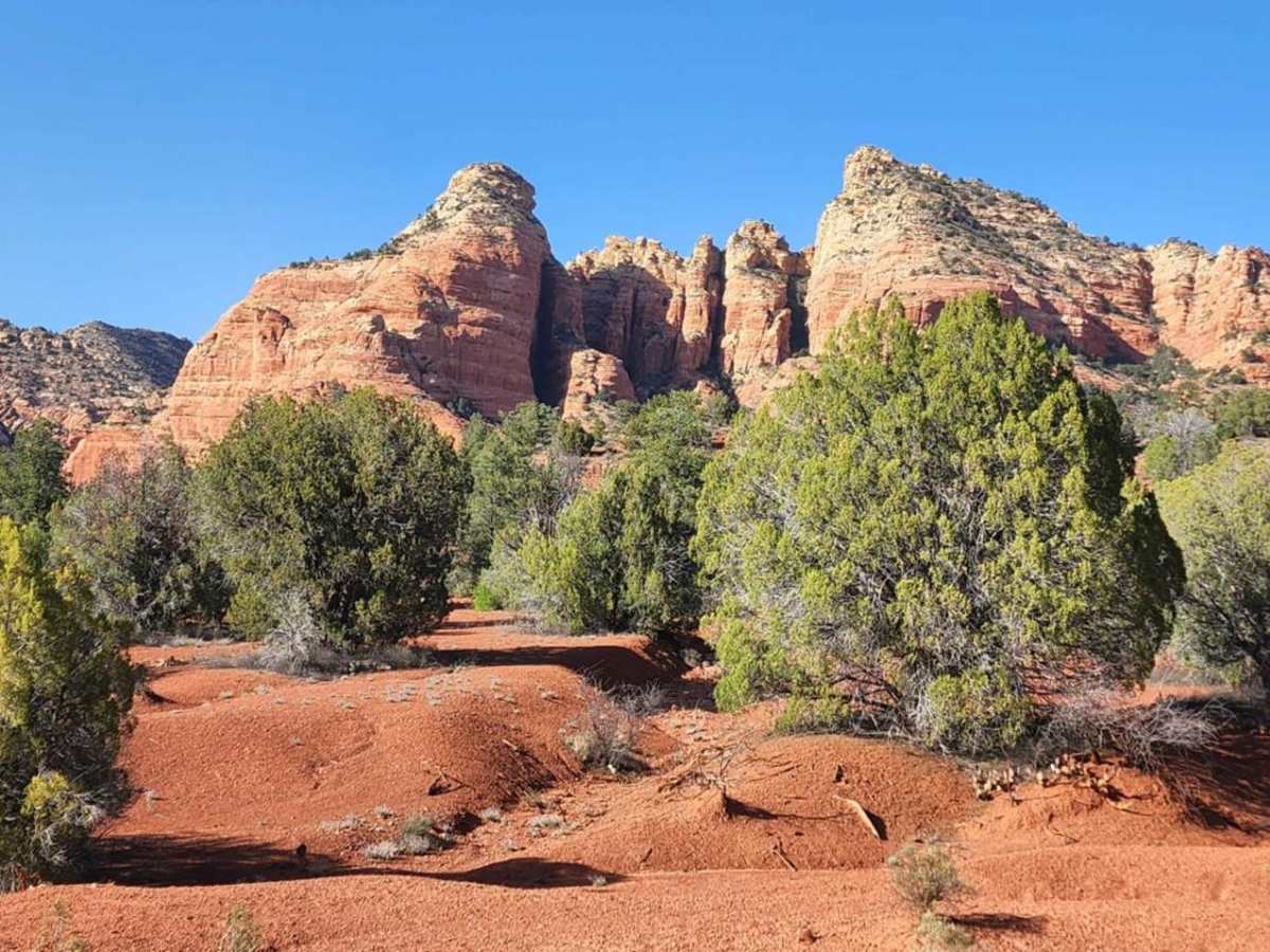
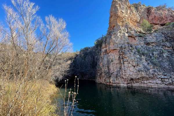
Overall, this ride is excellent. It's gotten considerably more deteriorated since I was on it back in 2023. It's a mix of everything; rocks, narrows, sand, uphill, boulders, bush-whacking and more. For 2-Wheels, this provides a great Opportunity to hone-in lines and your wear-with-all. The rocks at times were ridiculously big, sharp, round, loose and no lines available but all doable if you have good technique. The hardest part for us was the sand on the sharp corners... and it wasn't visible until you made your line commitment. We both dumped after the hardest pit. No damage other than our Ego. The cross-washes were a bit deep at spots and there's one about mid-point, that if you aren't ready, it will crush you. We stopped just in time. It's about 3feet wide and easy foot plus deep and blends in terribly with the terrain so you gotta be sharp. I wasn't and got a pressure pop flat. Solid rating for this trail and tons of fun! Highly recommend for 2-Wheels!
Mean Joe
Jun 08, 2026
2020 Jeep Wrangler Rubicon
Open
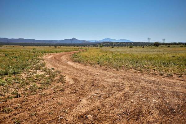
This is a great little Jeep trail with lots of opportunities for camping, hiking, and sightseeing. In its current state of repair, I would rate it about a 3/10. I suppose it could get worse if monsoon weather damaged some of the wash crossings. We completed the trail in a Jeep Wrangler in about 2 1/2 hours at a leisurely pace. The trail is wide enough that you won't have to worry about pinstripes :-). The only reason that I used 4WD was so that I could disconnect the sway bars for a smoother ride. Otherwise, I didn't feel it was really needed except for maybe one hill. There are a few sections that require some clearance, but I did not find any obstacles that would deserve the "5" rating. There are some rocks on some portions of the trail, but I would not call this trail "rocky".
Johnny B
Jun 07, 2026
2021 Yamaha Tenere 700
Open
DustyRough/DeterioratedWashboard
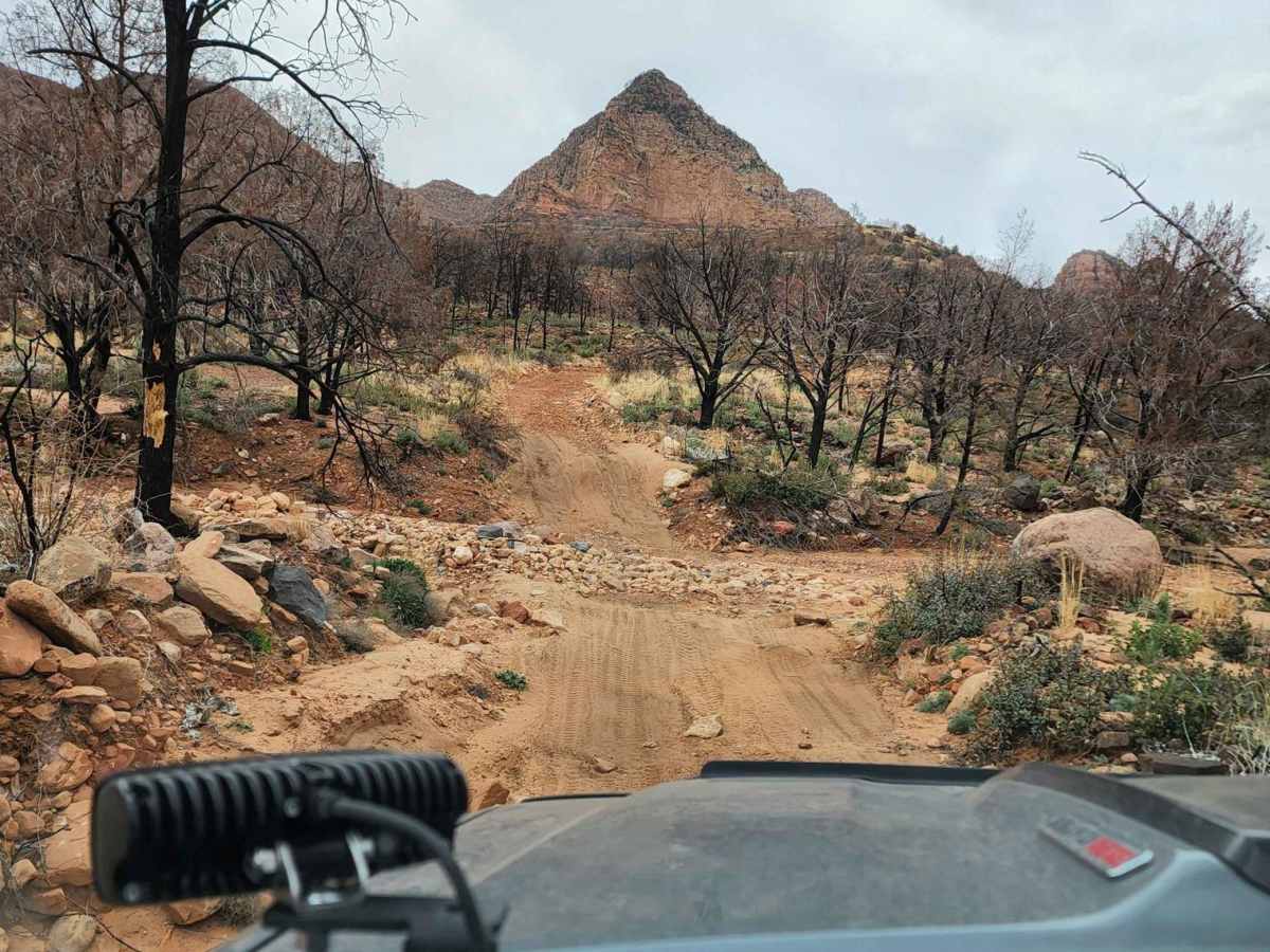
Completed the trail on a 500lb Fully Loaded Yamaha Tenere 700. Some rock gardens and lots of steep off camber climbs and descents, many with baby head rocks spread out everywhere. Not an expert lever trail but with a big bike you are definitely gonna need to be an above average rider.
Daniel Lammers
May 25, 2026
2021 Chevrolet Colorado
Open
Muddy/WetDusty
Great out and back. Got caught in some rain so it got muddy and wet. As stated, it is a rough and bumpy trail. I only used 4wd once in a rock section to make it easier to control, especially with it being wet. Easy enough for my ZR2 on 33". I would not take a stock SUV down the trail. Any offroad trim truck/SUV should be fine but there are several areas that need some ground clearance.
Bob Cusick
Jun 28, 2025
2023 Toyota 4Runner
Open
DustyRough/Deteriorated
If you love rocky, rough trails - this is for you! BEWARE - there are MANY stream crossings with deteriorated entrances/exists. I did this trail when it was bone dry - not sure I would attempt it in monsoon season.
Jeff Rose
Jan 09, 2025
2024 Jeep Wrangler
Open
Dusty
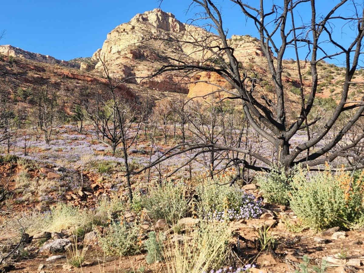
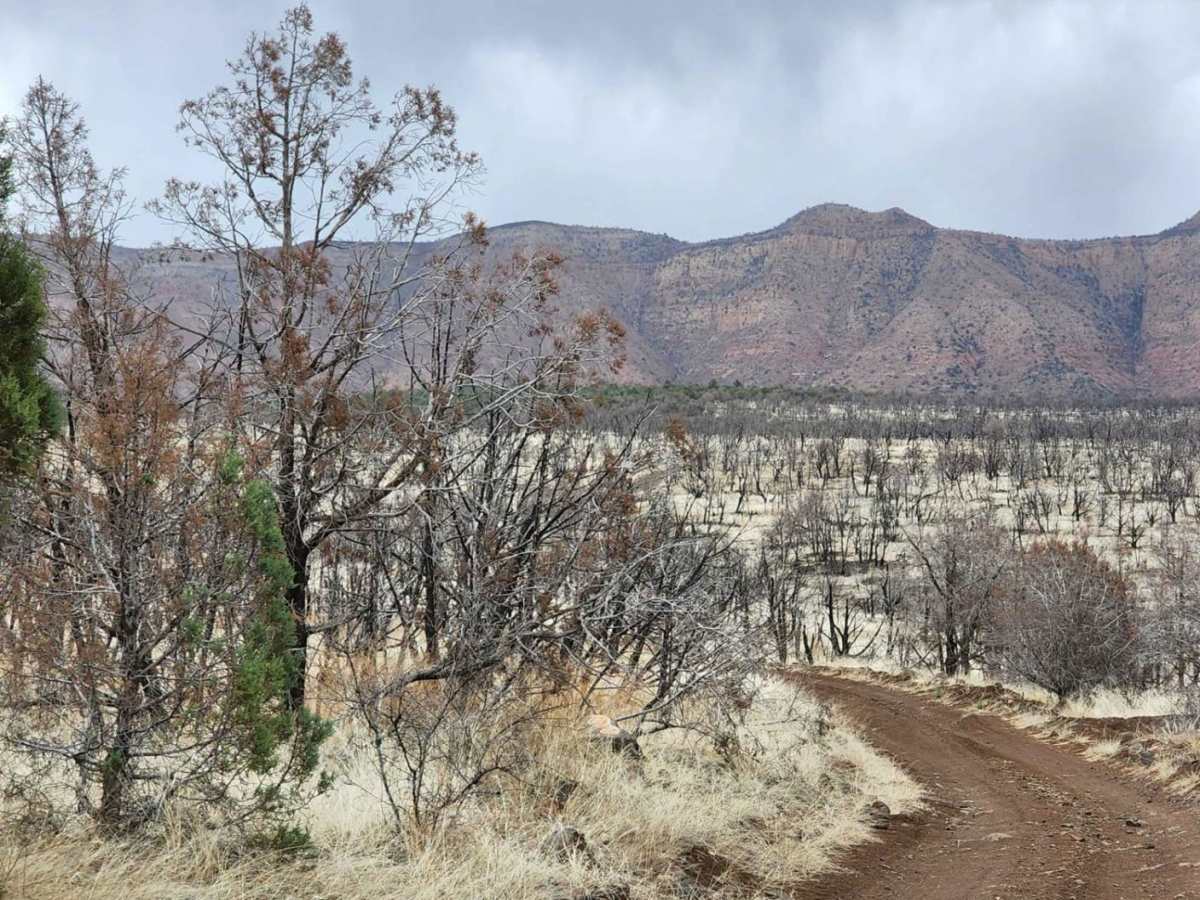
Nice trail - Very windy and dusty on this day. This trail is a 3 (IMO) with a couple of short sections that could be a 4. Ran the first 8 miles in 2WD or 4WD High auto. Last section in 4WD Lo more for the throttle response. Didn't really need 4Lo except maybe 1 small climb. Some sections of old fire damage but other very beautiful sections. Came over from Jerome so it was a full day on the trails.
Andy Hunt
Nov 30, 2024
Open
NormalDusty
i rate this trail a 3. would advise otherwise ony during monsoon season. awesome trail, very scenic wit terrain unlike anythere else. plan on a full day, longer if you hike the indian ruins at the end of the trail. cant wait to go back!! stock 2016 JK Rubicon.
Josh F
Sep 15, 2024
2020 Ford Ranger
Open
Rough/Deteriorated
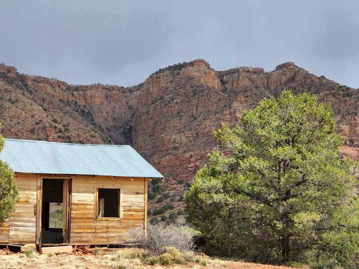
Most of the trail is fairly easy, coming south from Henderson Cabin across the first wash is VERY off camber and washed out.
David Nava
Jan 03, 2024
Open
Rough/Deteriorated
Pete Gordon
May 17, 2023
Open
Rough/Deteriorated
Pete Gordon
Apr 18, 2023
Open
Rough/Deteriorated