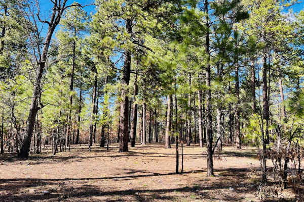
Trail Overview
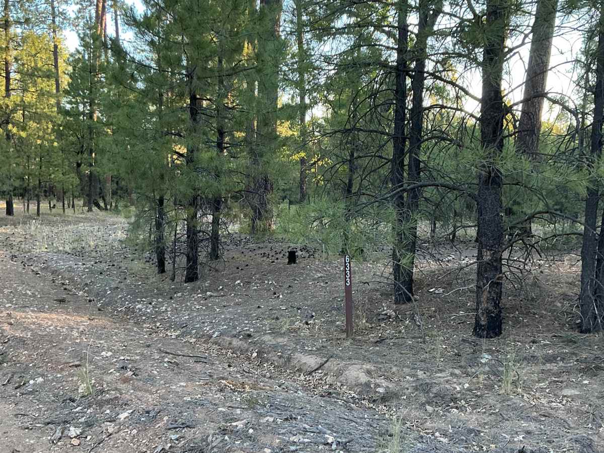
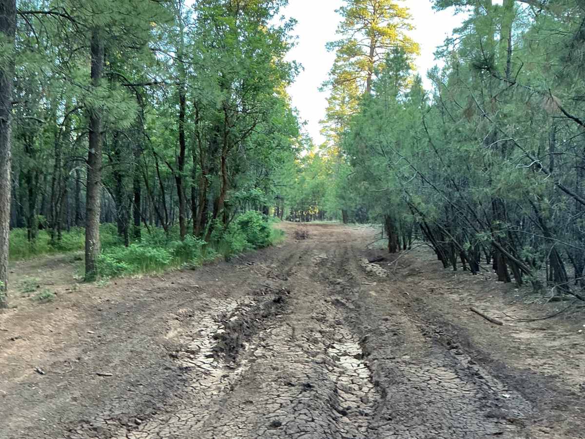
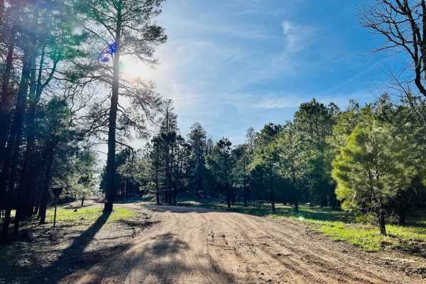
Forest Service Road 6333 is just shy of 2 miles long and traverses through the ponderosa pine canopy of the Coconino National Forest. This trail was mapped from south to north. The beginning of the trail features several dispersed camping spots tucked among the trees. As you continue north, multiple low-lying areas appear prone to deep mud holes after significant precipitation.
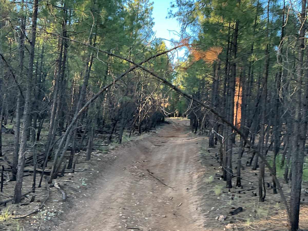
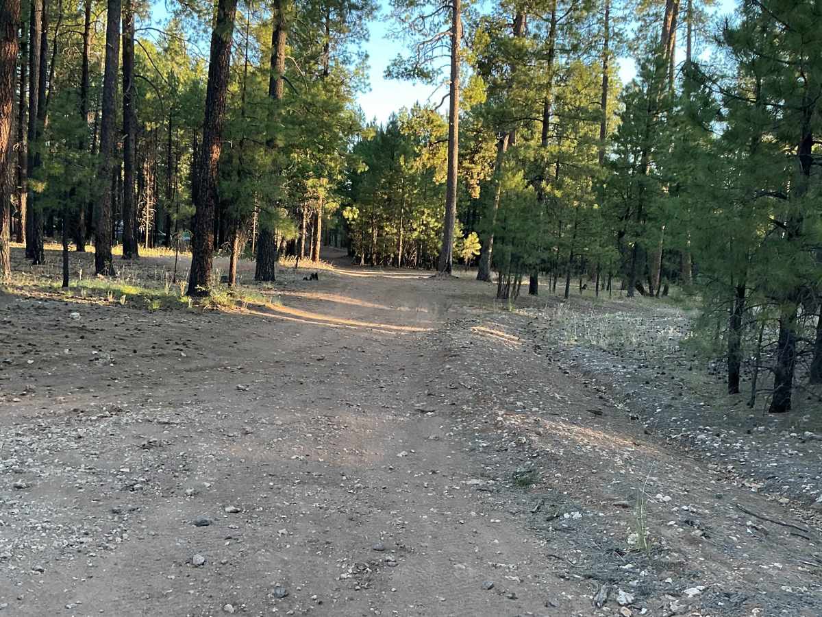
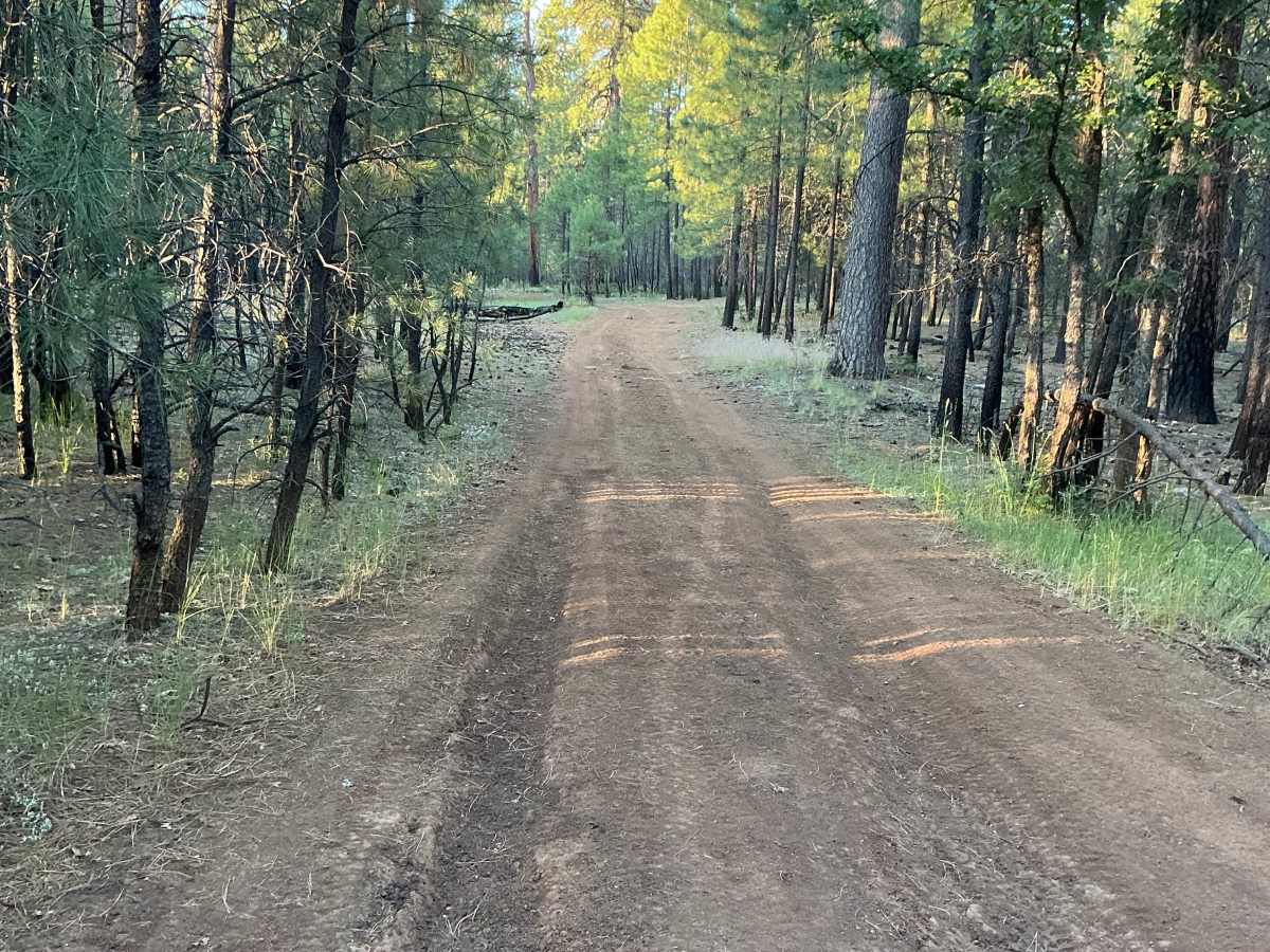
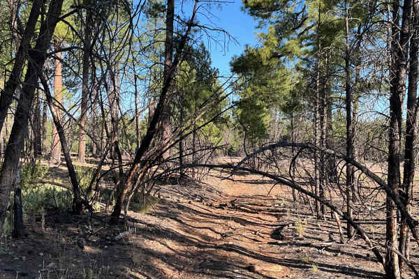
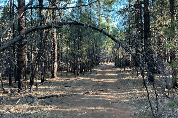
The trail remains relatively easy-going for most of its length, with small loose rocks and occasional level rock outcroppings to traverse. As you near the northern end, the trail becomes noticeably narrower. Several sections have low overhead clearance caused by small dead ponderosa pines leaning over the route.
The trail ends at a small turnaround area with scenic views overlooking the small canyons to the north and east of the trail’s ending point. Travelers should always check current forest road conditions and seasonal closures before heading out.
Difficulty
Expect an uneven, rutted dirt trail with small loose rocks throughout the route. Travelers should also be prepared for potential mud holes, especially after wet weather, and trail obstacles up to 12 inches in height.