Trail Overview
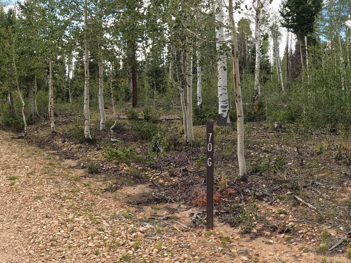
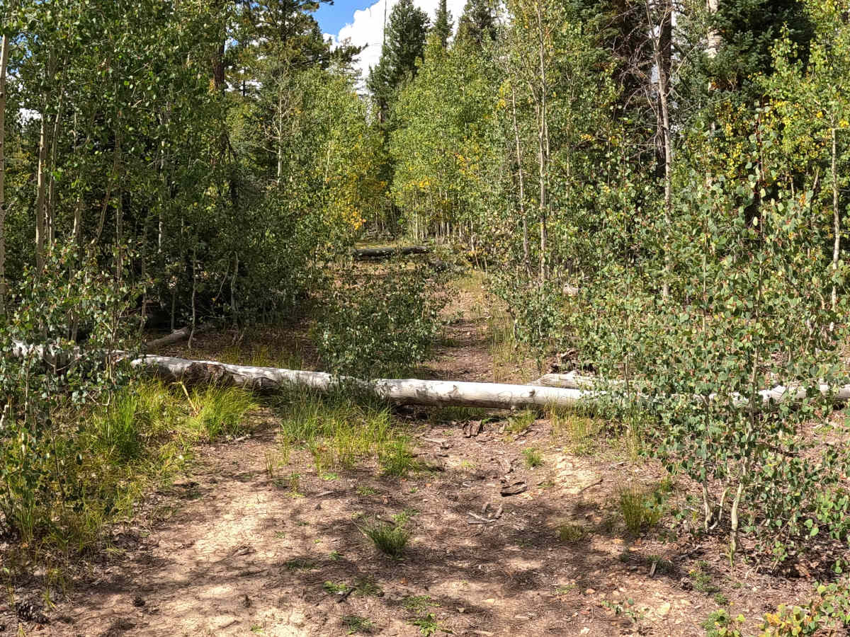
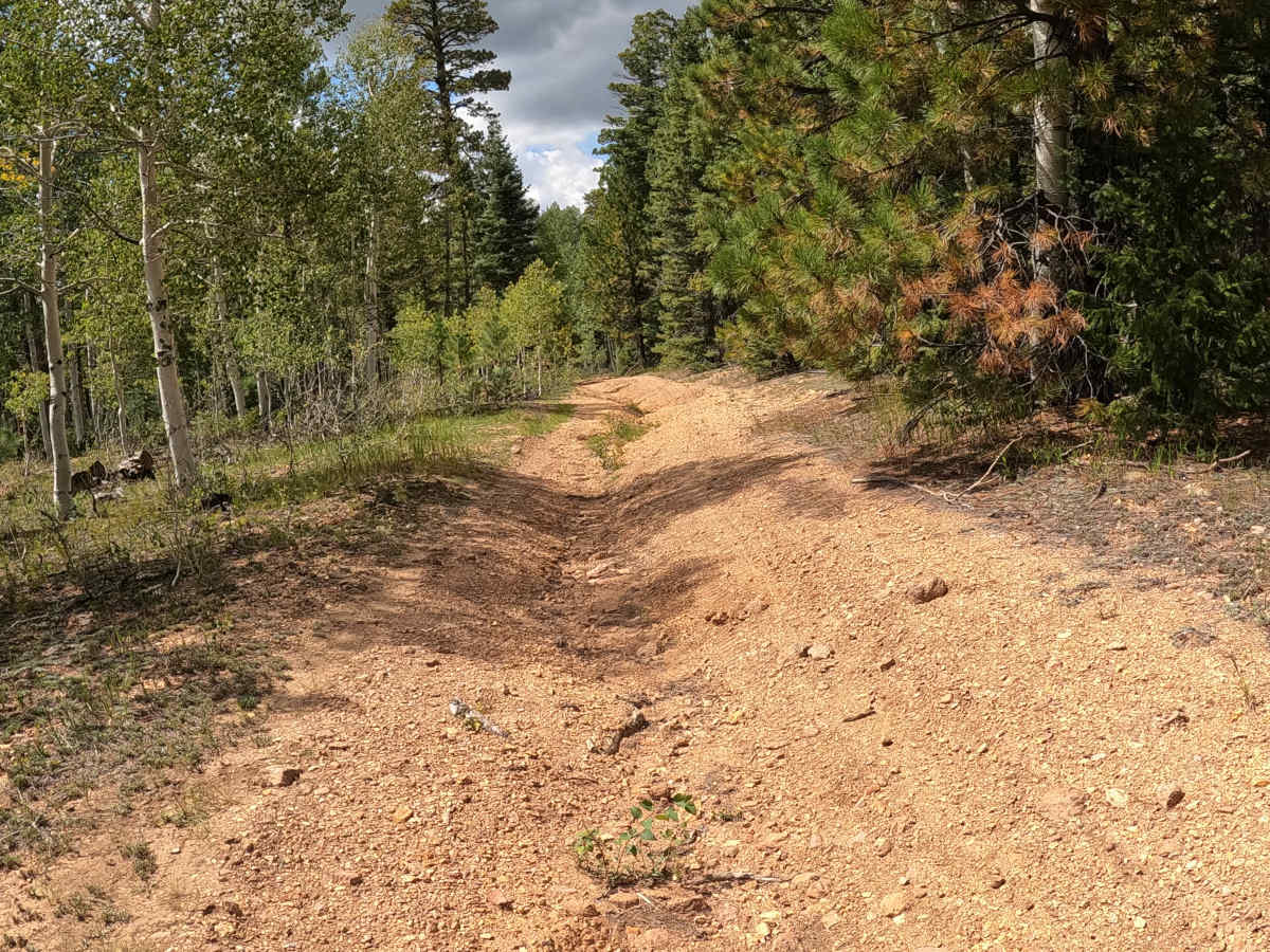
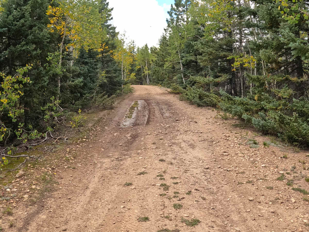
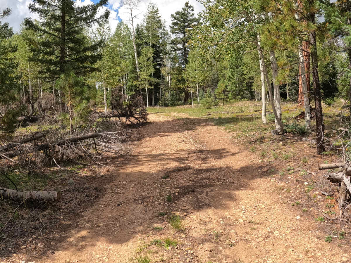
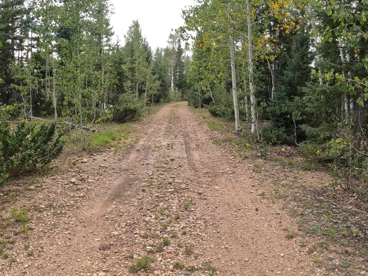
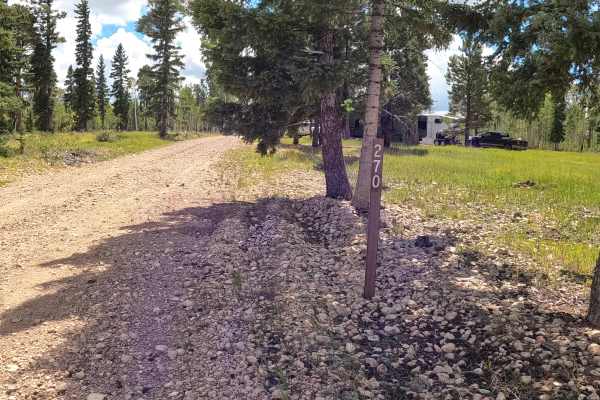
FS 270G begins at the Y intersection on FS 270 and follows a wide, bumpy gravel two-track through dense forest, aspen groves, pine trees, and natural grass. This is a beautiful route during fall color season. Mud holes along the trail may require 4WD in wet conditions. The trail follows the boundary of Grand Canyon National Park, and hunters use the area during hunting season. Expect a small V-shaped drainage feature in the trail that may continue to change over time due to water erosion. Toward the end, the trail becomes more challenging, with low-hanging branches, a steep uphill climb, and tight sections through the aspens. Old logs are present in the roadway, but they have a bypass available around them. The route then descends and becomes increasingly natural and overgrown but remains passable at a slow pace. Watch for branches and carefully pick your line through the narrower sections.
Difficulty
This wide two-track gravel trail has a few mud holes that may require high clearance during and after wet conditions. A small V-notch and a short, washed-out, extra-bumpy section about halfway through require careful wheel placement. Near the end, low-hanging branches extend into the trail before it comes to a complete stop at two very large fallen trees, with new trees growing in the trail.



 Offroad