Trail Overview
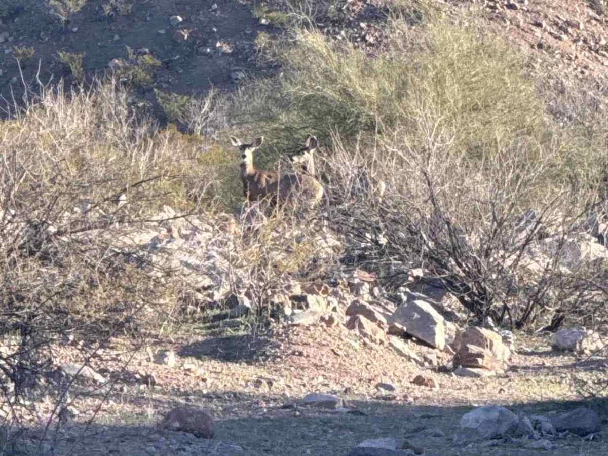
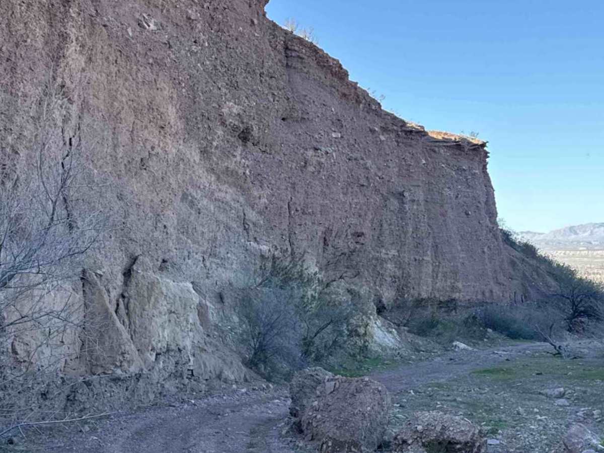
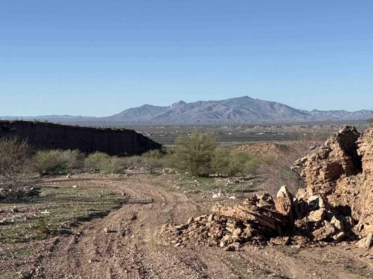
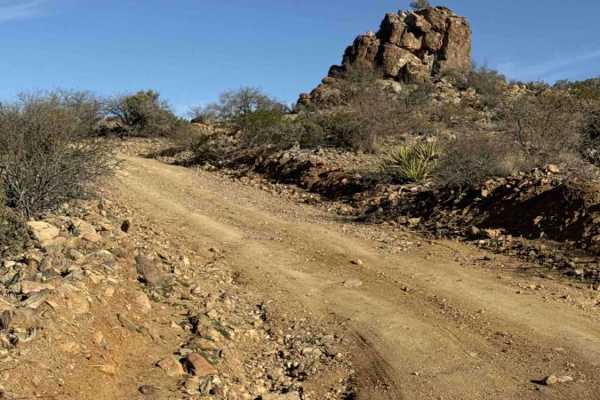
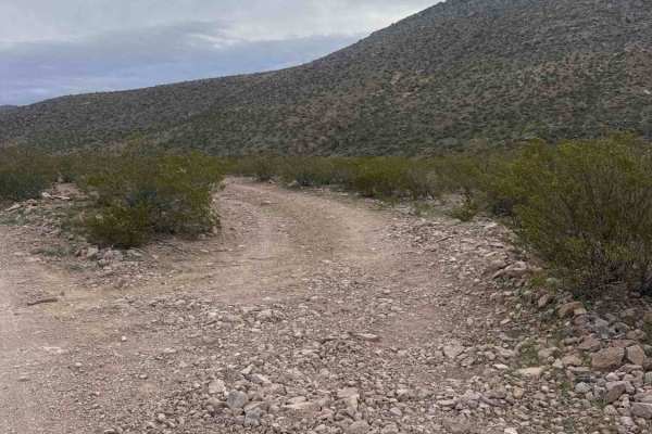
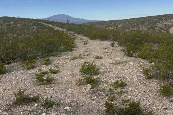
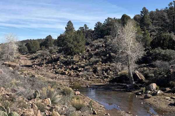
Fh1071 is an out-and-back wash trail that winds through Box Canyon. The trail starts wide and gradually narrows about half a mile in. The canyon features multiple tracks, sandy gravel, and rocks ranging from 6 to 12 inches in height—perfect for off-road exploration. While the trail itself is not highly technical, some areas may require careful navigation over rocks, especially after rain. High-clearance vehicles are recommended, and 4WD may be beneficial in softer sections or following wet weather. Flash flooding is a potential hazard in this wash, so caution is advised during or after storms. Evidence of the power of water remains in the center of the wash at the north end. Along the trail, you’ll pass by “The T” for Fort Thomas, which is visible if you look up, though there appears to be no accessible route from the canyon. The Box Canyon walls feature layered rock and mud formations, offering scenic views and fun terrain to explore. The trail ends after winding through the narrowest section on the north side of the canyon. This trail is flexible for users: you can drive, hike, stop for lunch, or play on any of the obstacles along the way. Larger rock features are optional and add to the fun of exploring the canyon.
Difficulty
Easy wash trail, passable by any high clearance vehicle. All rocks are currently located off the mapped trail, but difficulty is a choice on this trail.