Trail Overview
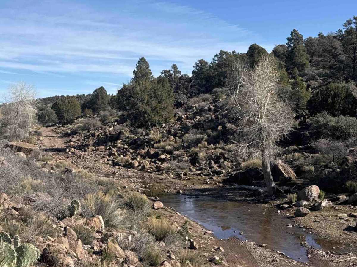
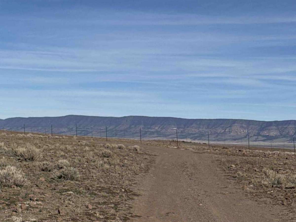
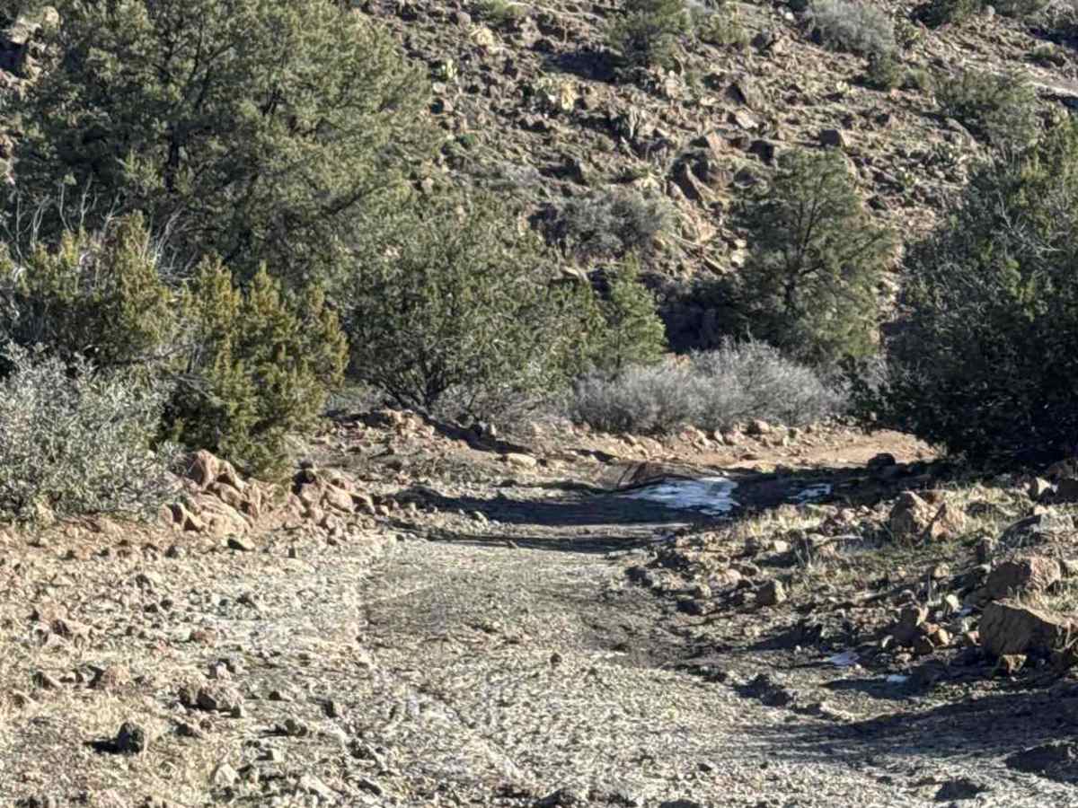
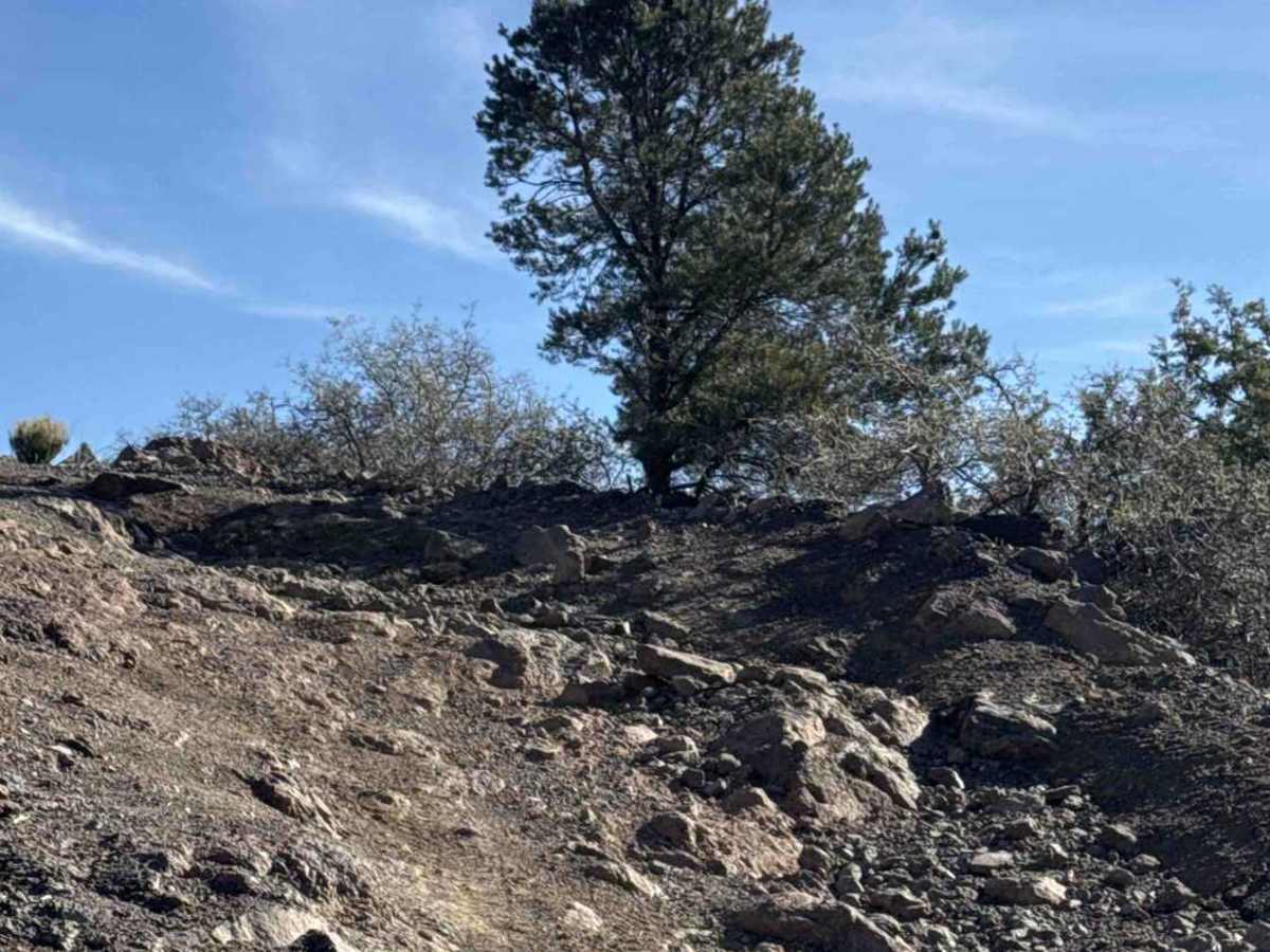
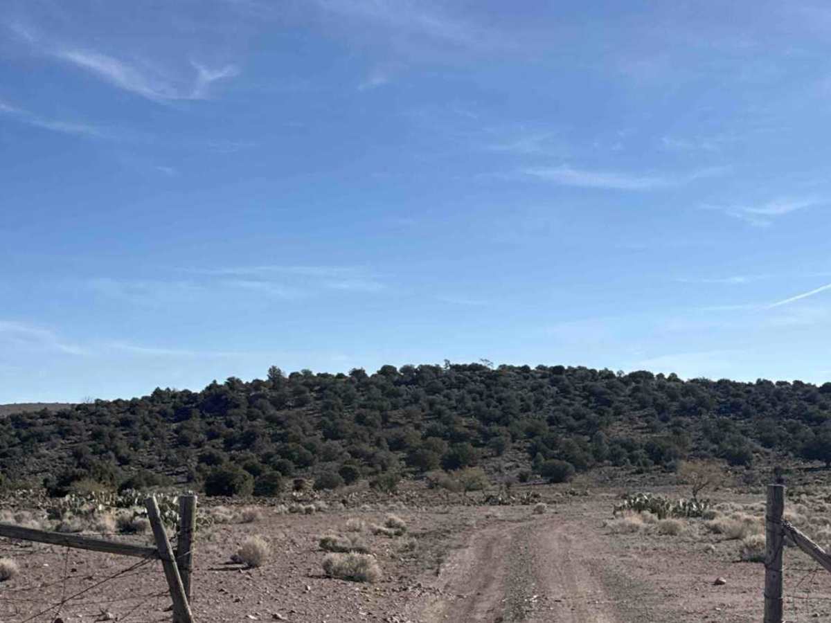
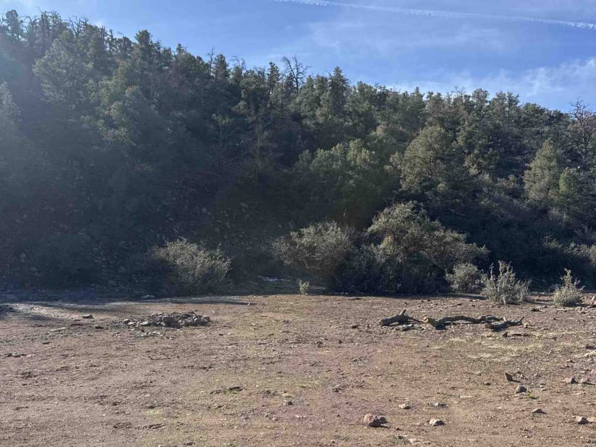
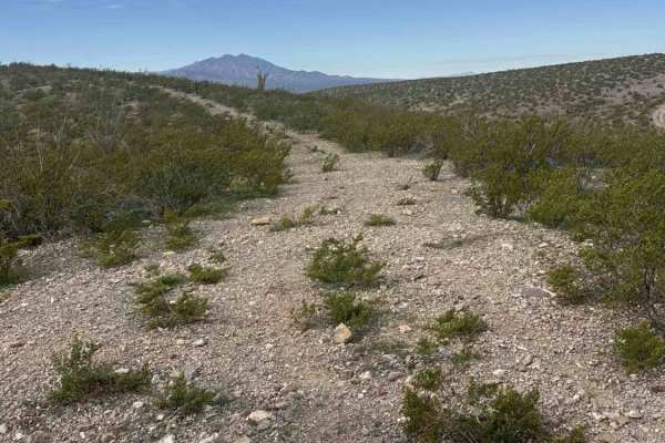
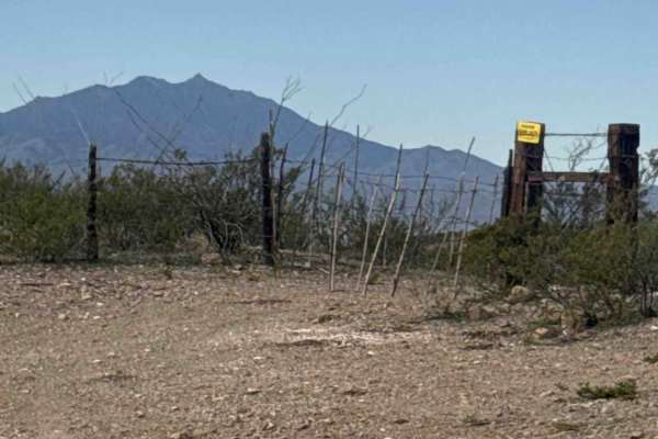
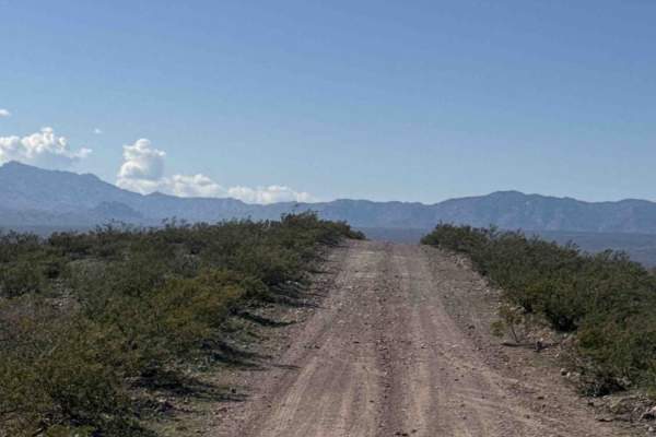
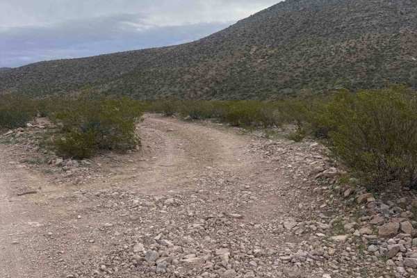
FH1052A begins at the end of FH1052 and climbs into the mountains, winding through a canyon with steadily changing terrain. The trail starts as a dirt and gravel road with scattered rocks and moderate hill climbs. Four-wheel drive is recommended early on and becomes necessary as the trail progresses, especially in wet or icy conditions. You will pass through a cattle corral and two open gates with no signage—leave gates as you find them. A few dispersed campsites are located along the route. About two miles in, the vegetation becomes more diverse, with larger saguaros, yucca, prickly pear, desert creosote, and a few isolated pine trees appearing as elevation increases. As the trail climbs, the road surface becomes more uneven with exposed rock slabs and larger embedded rocks. Elevation gain can bring icy conditions in colder months. Towering rock formations rise above the trail, providing impressive views through the canyon. Deeper into the route, vegetation becomes increasingly overgrown, and the road narrows with blind corners—watch for oncoming traffic, wildlife, and possible pinstriping. Fresh mountain lion tracks and horseshoe tracks have been observed in this area. Around five miles in, you will reach a gate on the right just before two water tanks. Pass through the gate, continue past a house or shop, then pass through another gate to remain on the trail. From this point forward, the trail becomes significantly more technical, with steeper hill climbs, larger rocks, ruts, and washouts requiring high clearance 4x4. The trail eventually transitions back into high desert terrain with large rocks and cactus before ending at the San Carlos Reservation fence line. The trail terminates with expansive views of Elevator Mountain and two campsites near the end.
History
The area has a history of cattle ranchers, with many signs of cattle and old ranch houses.