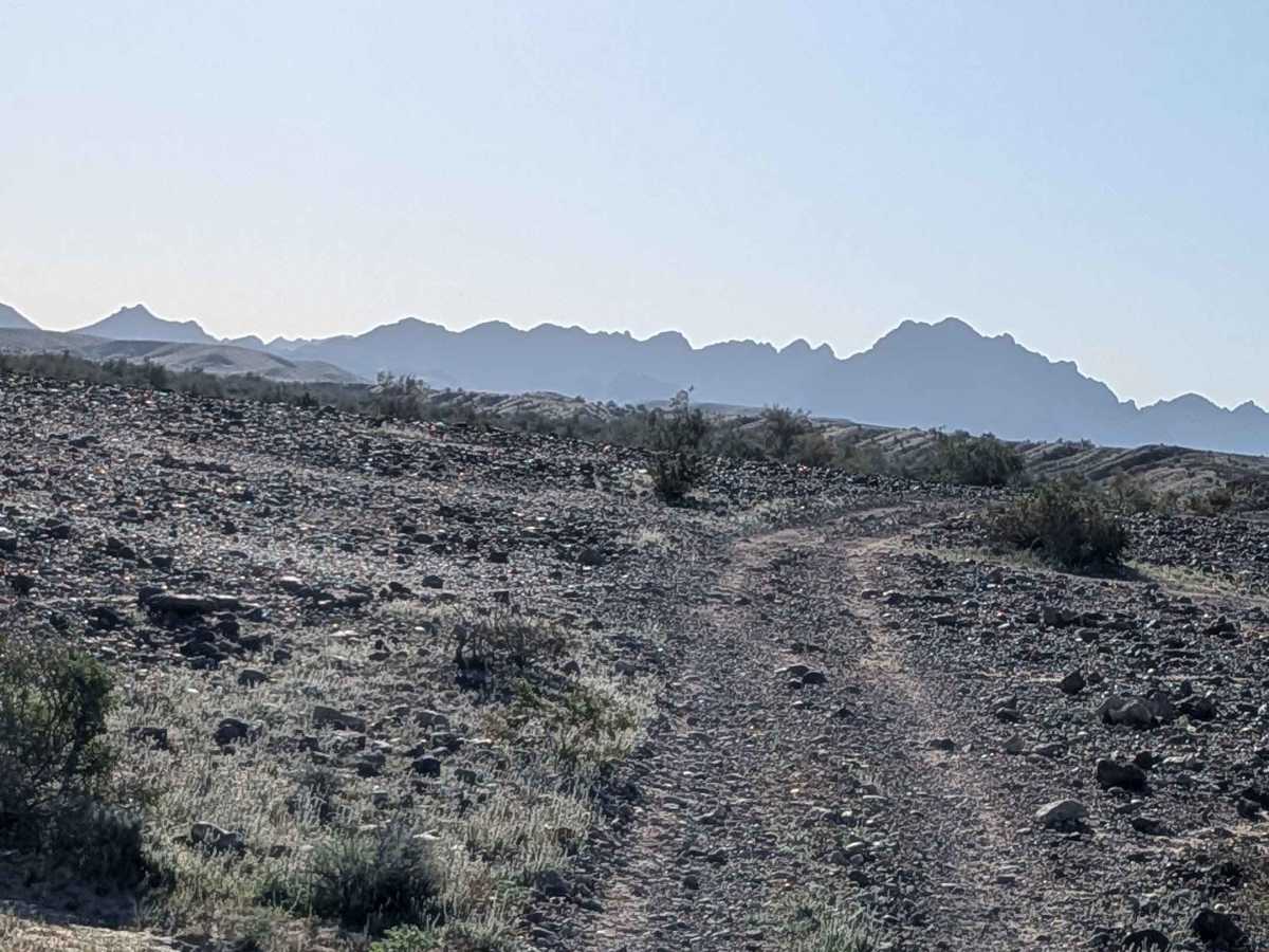
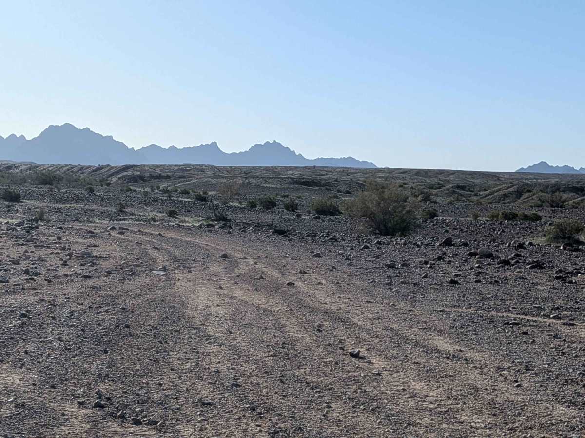
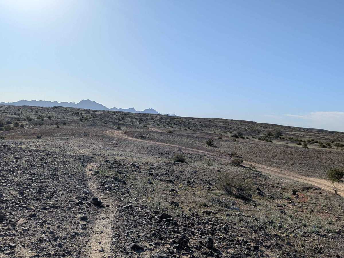
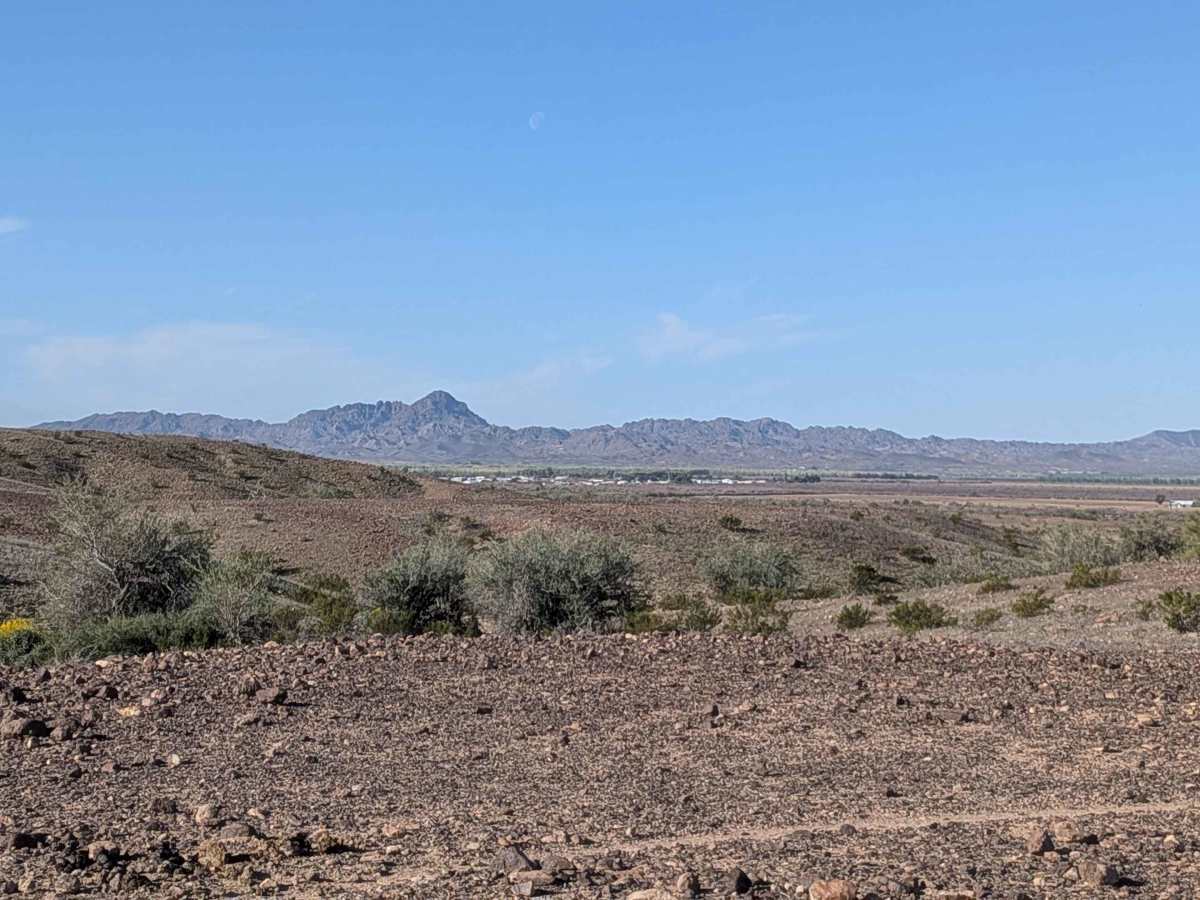
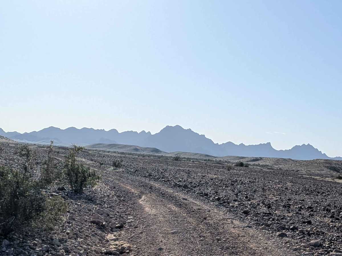
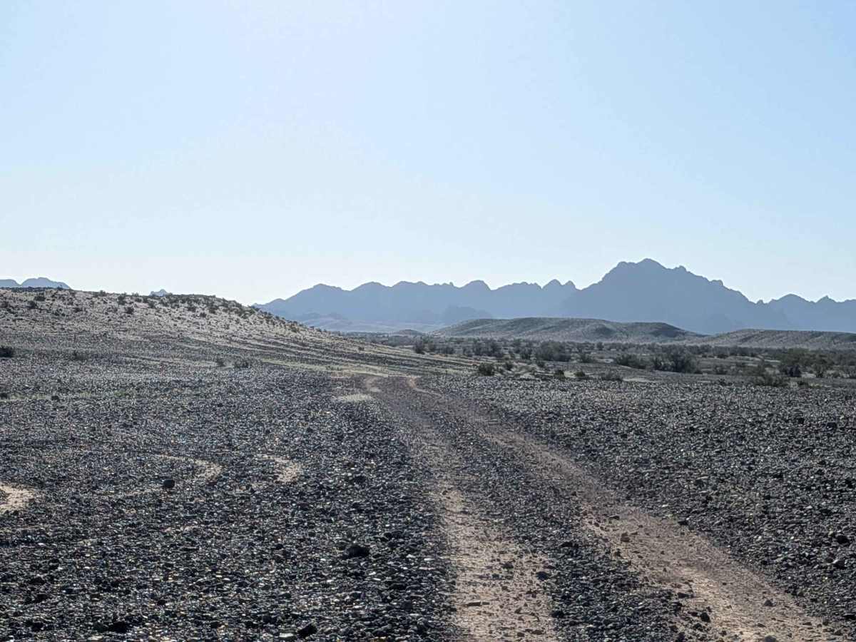
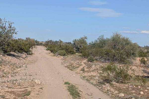
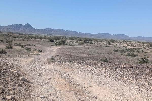
Trail Overview
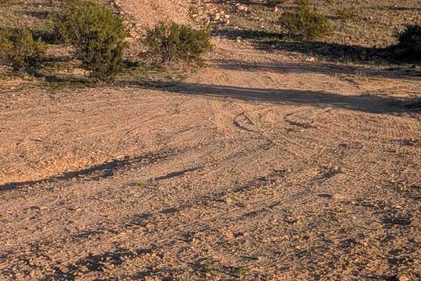
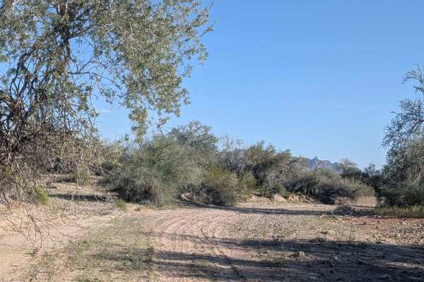
This 4-mile trail starts on EC1146 and ends on EC1131, featuring hard-packed sand with embedded rocks ranging from pebble to softball sizes. The route immediately climbs up onto a ridgeline, giving dramatic 360-degree views of the surrounding area. You'll enjoy great views of the surrounding mountains, including the Trigo Mountains, throughout. The trail weaves its way through the hills as it climbs, navigating some shelf roads and off-camber sections along the way. The nearby town of Cibola is visible from the elevated position. The area sits on a plateau, which is fairly barren with a sparse amount of brush and trees, though seasonal wildflowers are abundant at times, adding color. You'll encounter some ruts along the way and a section where you're on a slight cliff edge that demands attention.
Difficulty
This is an easy-to-moderate trail with good surface conditions on hard-packed sand. The embedded rocks from pebble to softball size create a bumpy ride, but aren't technical obstacles. The shelf roads and off-camber sections require attention, and the slight cliff-edge section demands respect. The ruts are manageable. The ridge line position provides excellent visibility for navigation.