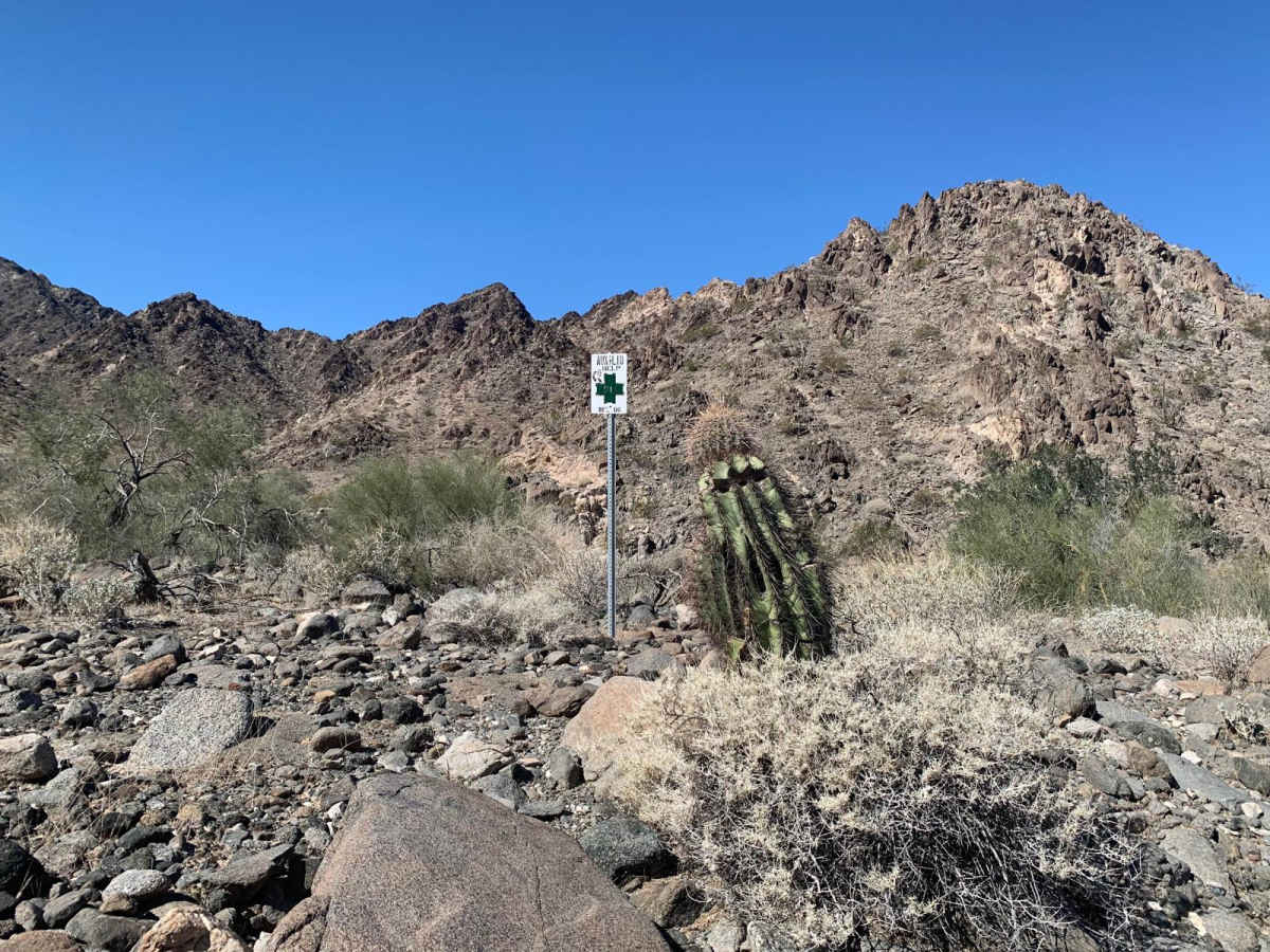
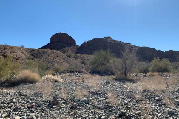
Dripping Springs

Total Miles 10
Technical Rating
6 Moderate
Best Time Spring, Summer, Fall, Winter
Trail Type High-Clearance 4x4 Trail
Accessible By
Open Trail Map

Trail Overview

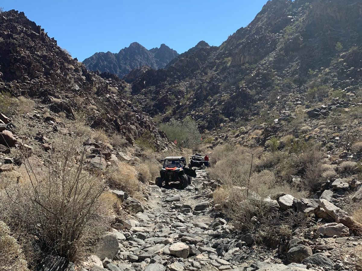
Rocky, technical, and very scenic unimproved trail through the heart of SW NM's Barry Goldwater aerial gunnery range SE of Yuma. Range permits from the Luke AFB Range Control Office are required, however, they're free and easily obtainable online at HTTPS://luke.isportsman.net. This is a very harsh, arid desert environment so plan to bring plenty of water to keep hydrated. Expect to see plenty of cacti of all varieties, ironwood trees, and desert flora of all varieties. Fauna includes desert lizards, snakes, horned toads, and an occasional bighorn sheep on the high rocky slopes. It is recommended that you plan this adventure around favorable weather conditions as this area is known for intense flash flooding during monsoons.

Photos of Dripping Springs

Difficulty

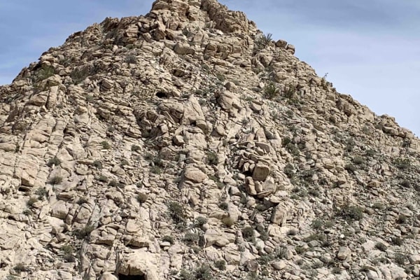
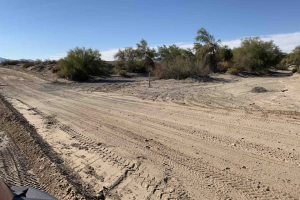
Very rocky, rutted and off-camber trail with erosion, loose rocks, sand, washes and obstacles up to 3 feet tall, including ledges and short, steep grades.

History

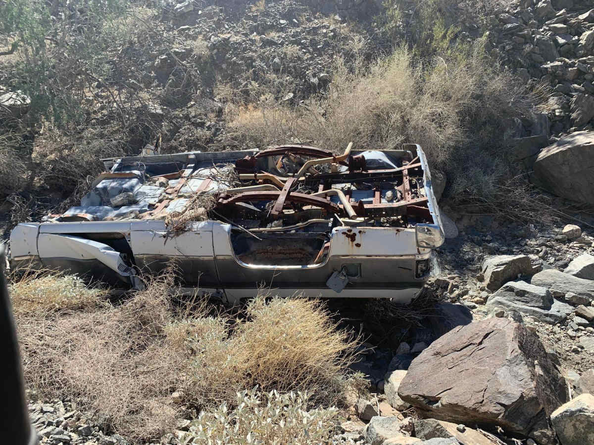
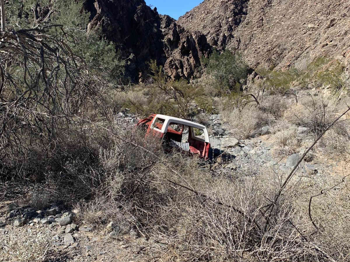
The Dripping Springs Trail (also called Woodcutters Pass was originally created by woodcutters harvesting Ironwood lumber used for timbers by the nearby Fortuna Mine in the mid to late 1800s. Parts of the trail were subsequently obliterated by several severe monsoon rains during the '30s '40s and '50s. A dedicated group of off-roaders took on the project of rebuilding the roads and over a period of 10 or so years were able to re-open the trail for off-road use. As a side note, yearly monsoons can alter, sometimes radically, the terrain and difficulty of this trail. There was a noticeable increase in the level of difficulty between last fall and this fall when we traveled the trail a few days ago on Nov 28, 2020.

Technical Rating

6

Status Reports

Add Status Report
Don
Nov 30, 2025
Open
3 of us went all with Honda Talons. it was our fist time this year and after all the rain we were wondering what it had done to the trail. all 3 of us thought it was in better condition than last year
Sadiq Bauta
Jul 26, 2025
Open
Rock slider recommended, 4x4 is a requirement, expect paint scratches, spotter recommended
Diego M
Apr 26, 2025
Open
Dry rocky. Picking a decent line will put you in a good spot. Not a huge fan of the terrain but if you have the stamina the mountains have these little caves!
Eric Gartin
Mar 03, 2025
Open
King Dad
Dec 30, 2024
Open
We were the only ones that came from the East, everyone we met on the trail was coming from the West/Yuma. This is a brutal rock climb after the last flash flood through that area. Coming from the West, sets you up to come “down” the rock climb.
Thomas LeMar
Apr 20, 2024
Open
Eric Gartin
Feb 12, 2024
Open
Fun trail to run but never had an obstacle or rock that had to be traversed that was more than 18” in height. Lots of fun rock gardens along this trail. Passable be vehicles with 33” tires. There is some overgrowth the may cause Arizona pinstripping.
Miles McAughey
Sep 04, 2023
Open

Dripping Springs Trail can be accessed by the following ride types:

  • 50 Inch
  • 60 Inch
  • High Clearance

Dripping Springs Map

The onX Offroad Difference

onX Offroad combines trail photos, descriptions, difficulty ratings, width restrictions, seasonality, and more in a user-friendly interface. Available on all devices, with offline access and full compatibility with CarPlay and Android Auto. Discover what you're missing today!

Open Trail Map