County Hwy 109/Mt. Trumbull Road

Total Miles40.1
Technical Rating
2Easy
Best TimeSpring, Summer, Fall, Winter
Trail TypeFull-Width Road
Accessible By
Open Trail Map

Trail Overview

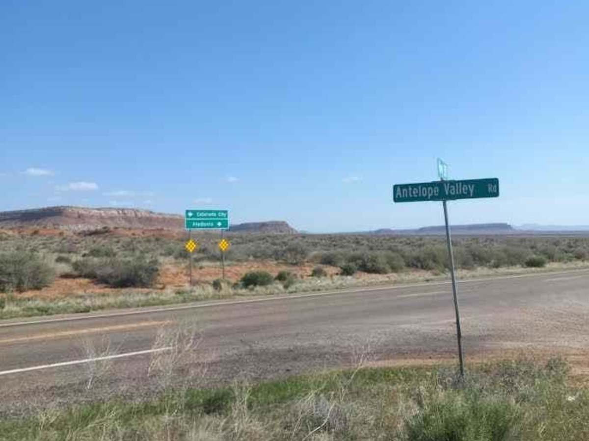
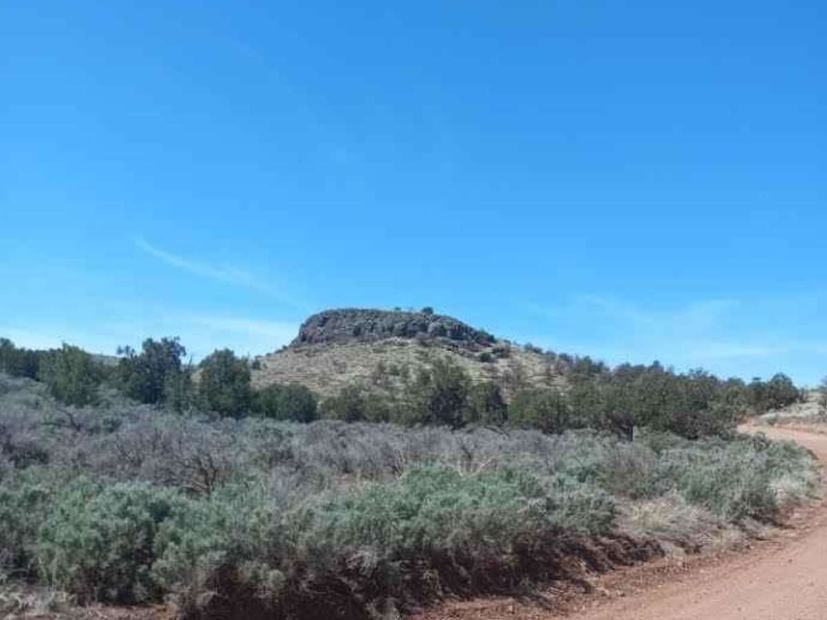
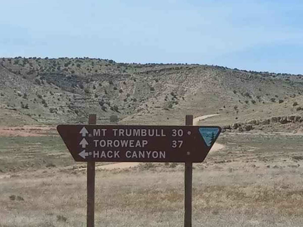
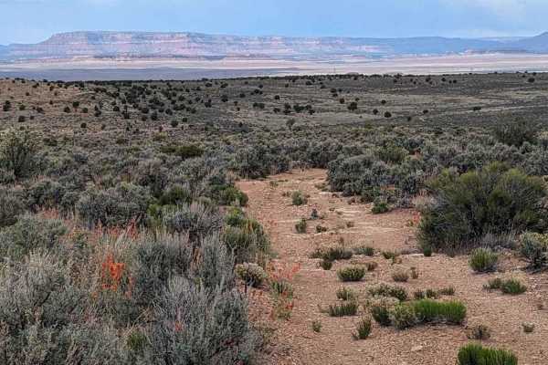
The road sign says Antelope Valley. It is a wide dirt, gravel, and sand trail that is rated at class 2. The trail is five miles east of Pipe Springs, AZ, and the South side of Highway 389 in AZ. The trail winds down south towards the Toroweap Ranger Station in The Grand Canyon National Park. There is a primitive campground with ten sites. A permit required also a permit for camping. Acquire permits before arriving at the Ranger Station because you will not be able to purchase them at the ranger station.

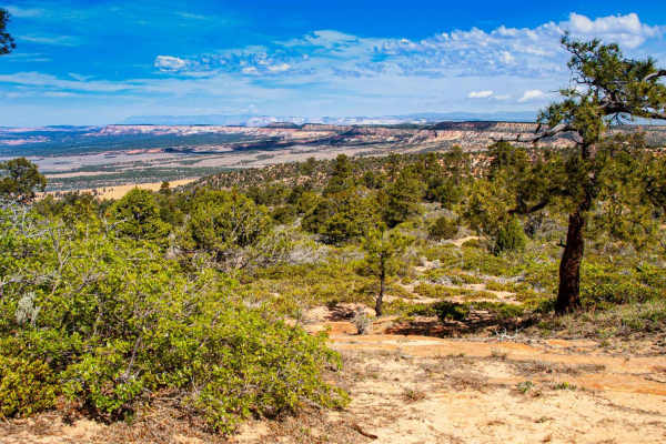
Photos of County Hwy 109/Mt. Trumbull Road

Difficulty

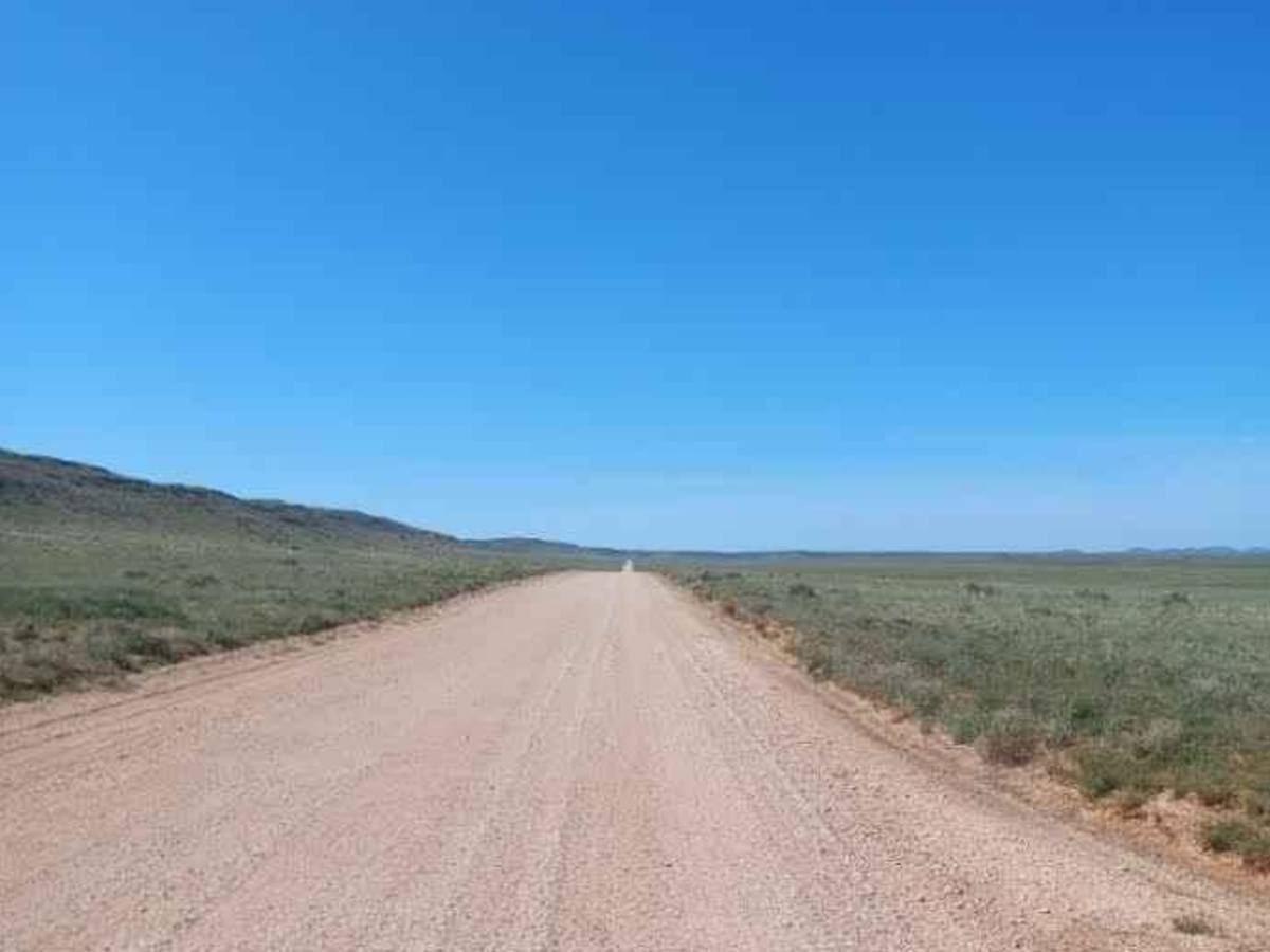
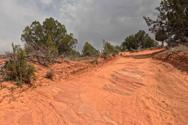
This trail is sand, gravel, and dirt wide for two vehicles. If rains are nearby flooding may be possible and wetness will cause mud.

Technical Rating

2

Status Reports

Add Status Report
Nick M
Jun 11, 2025
2023 Rivian R1T
Open
Dusty
Easy drive down dirt road with imbedded rocks.
Andrew M
Feb 09, 2025
2023 Toyota 4Runner
Open
Bumpy spots but overall pretty straightforward. We drove this out and back on our way to Toroweap.
Brian Dallas
May 16, 2024
2024 Ford Ranger
Open
DustyWashboard
This is the connector that takes you to the north east from the Toroweap Campground area and the north rim of the Grand Canyon. The trail starts off very smooth very nicely maintained a few rough cattleguards but aside from that very nice until you reach mile 30 and that’s when the washboards starts to kick in. You start going through some flash flood zones. So just be cautious on your speed. The last 5 miles Are rough washboard so make sure you’re holding on tight cause it’ll be a bumpy ride for those last 5 miles until you reach the highway

County Hwy 109/Mt. Trumbull Road Trail can be accessed by the following ride types:

  • Single Track
  • 50 Inch
  • 60 Inch
  • High Clearance
  • Full Width

County Hwy 109/Mt. Trumbull Road Map

The onX Offroad Difference

onX Offroad combines trail photos, descriptions, difficulty ratings, width restrictions, seasonality, and more in a user-friendly interface. Available on all devices, with offline access and full compatibility with CarPlay and Android Auto. Discover what you're missing today!

Open Trail Map