Trail Overview
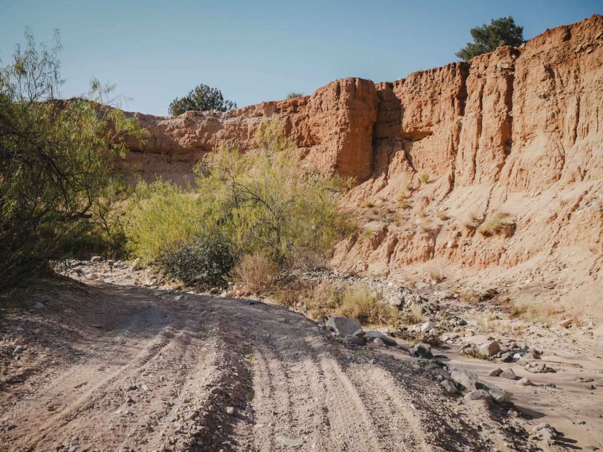
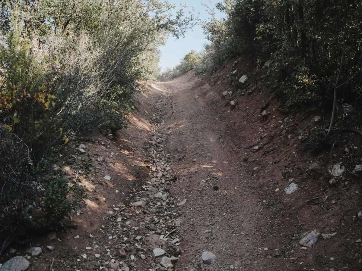
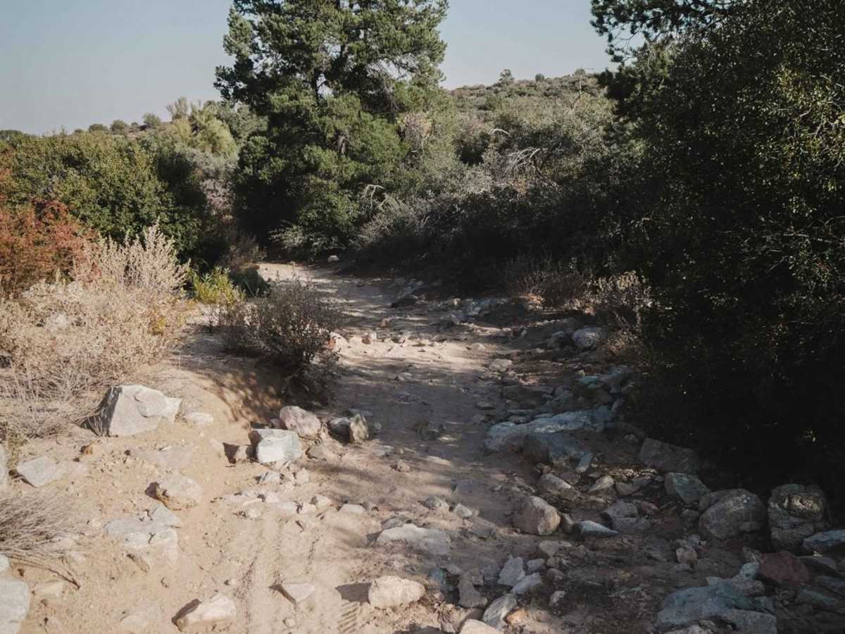
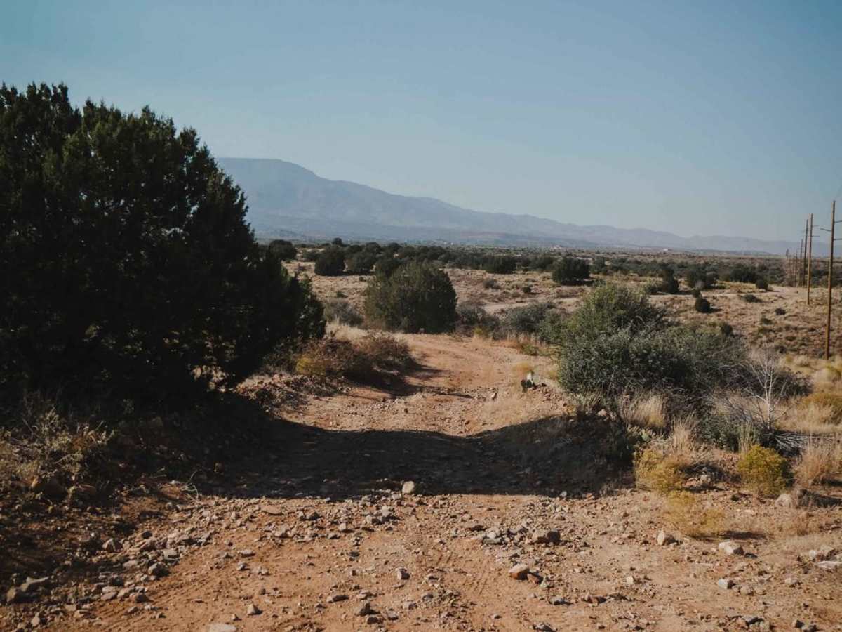
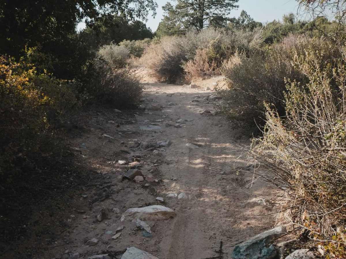
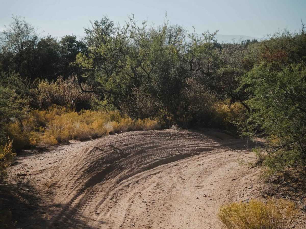
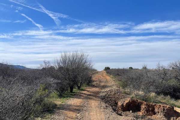
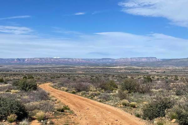
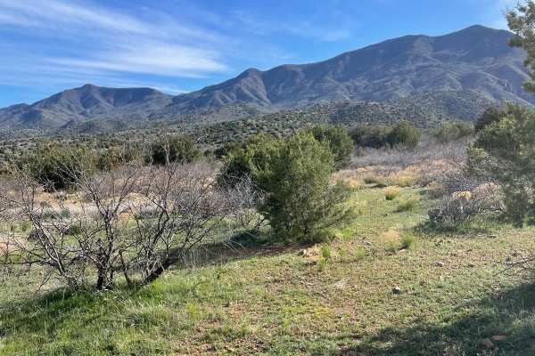
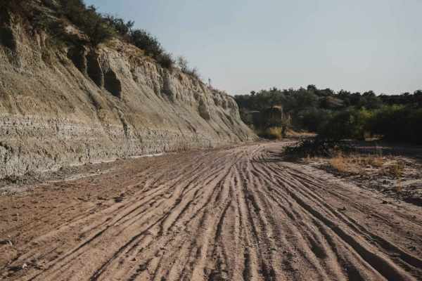
The Cottonwood Loop is a 7-mile ATV trail accessed from Hayfield Draw. From the east end, it starts off of Forest Service Road 9604C at an unmarked right turn that looks like a full-width road. You'll see the first trail sign when the trail crosses a sandy wash for the first time, and then it is more frequently marked. It has a 50-inch pinch point at one point to get around a fence. The trail drops into and out of a wash several times in the beginning. The wash is sandy with big loose rocks and bigger boulders in it. It climbs out of the wash and continues as a rocky two-track, flowing through the rolling Sonoran Desert hills. There are lots of loose big rocks in the trail, but they aren't too difficult to ride over and there are no obstacles. This type of trail is easy for a dirt bike to pick a good line through the rocks, but could be a bumpier ride for an ATV. The trail dips in and out of ravine crossings, and you have to look out for ruts and washouts that can change over time. There are a couple of steeper and rockier hill climbs near the west end of the trail that are also easy. It drops into another rocky sand wash at the west end before ending on Forest Service Road 9710H.