Trail Overview
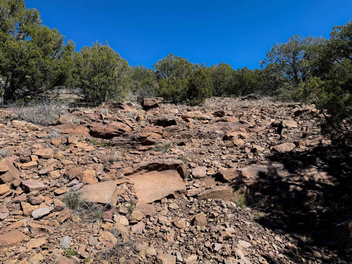
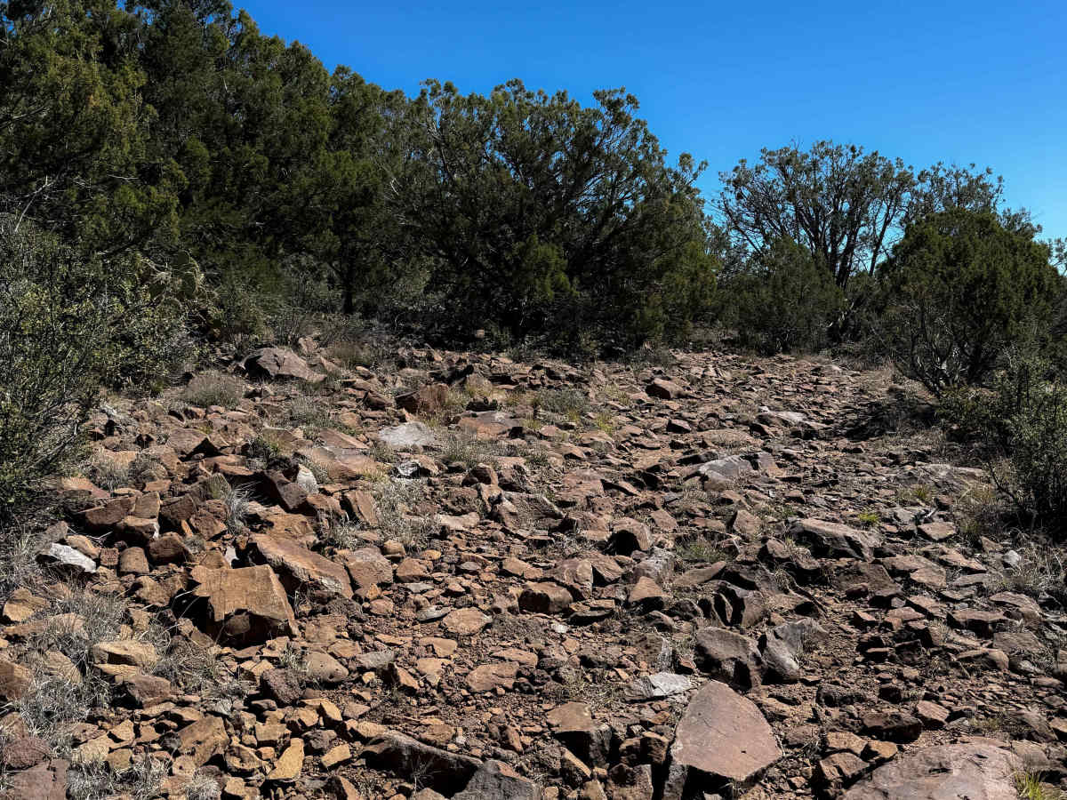
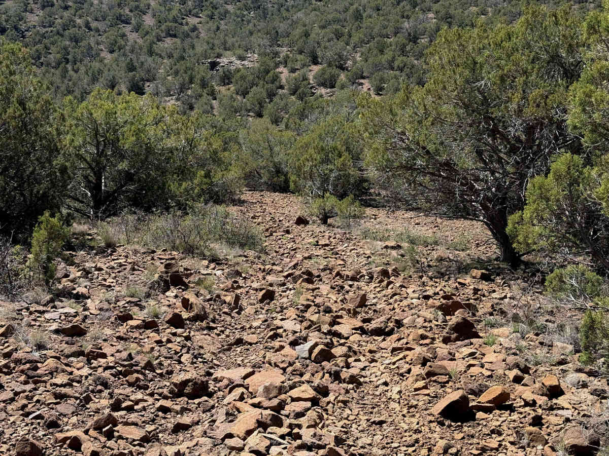
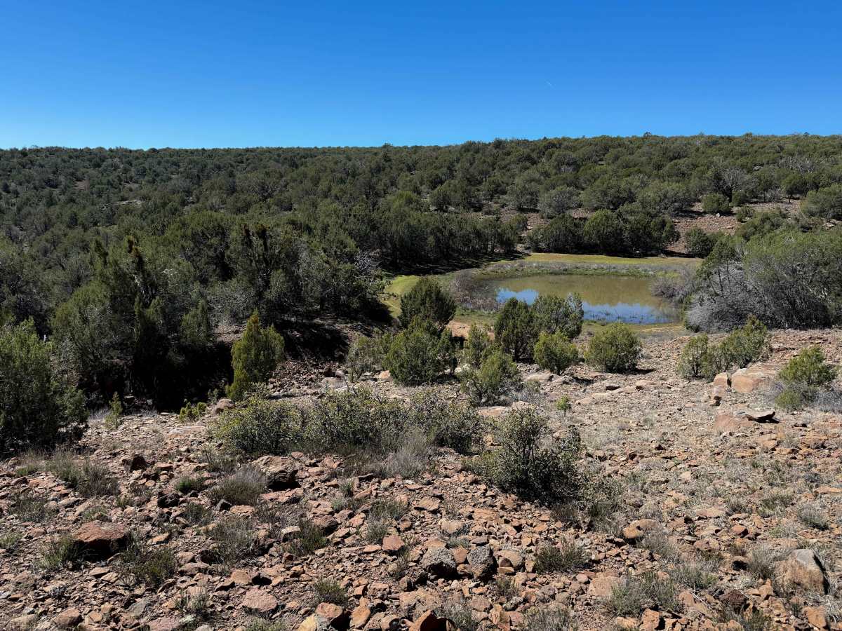
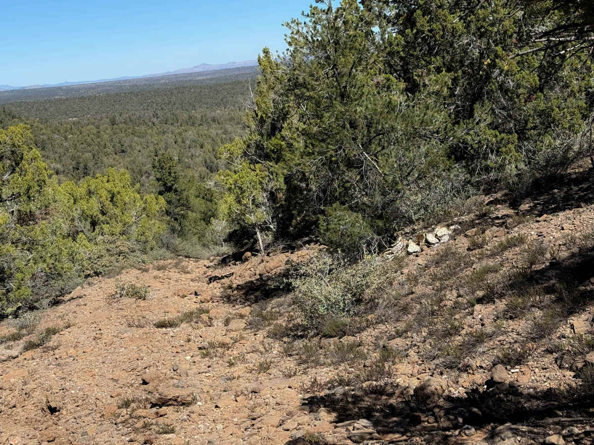
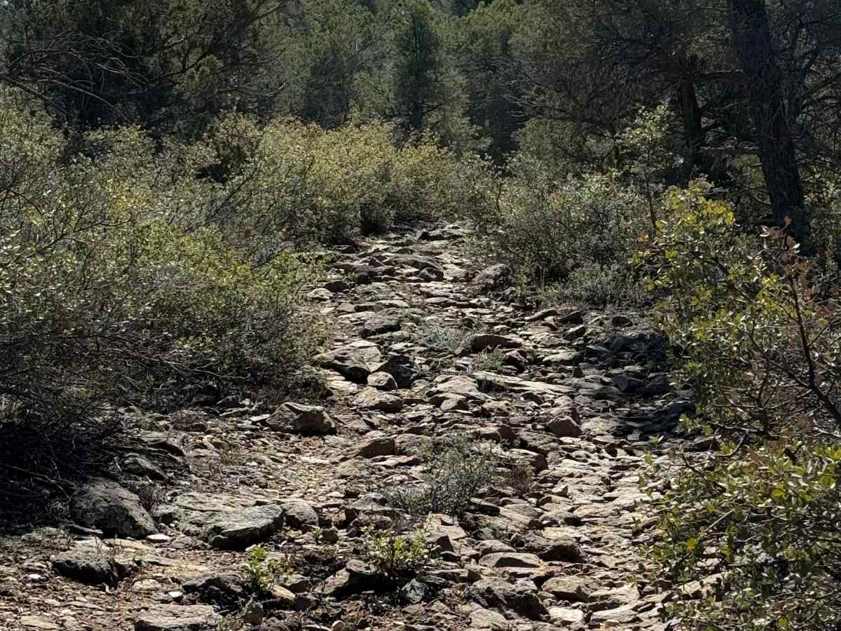
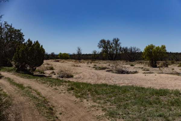
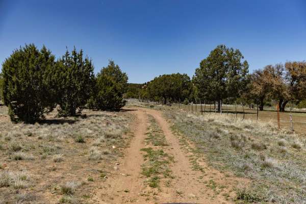
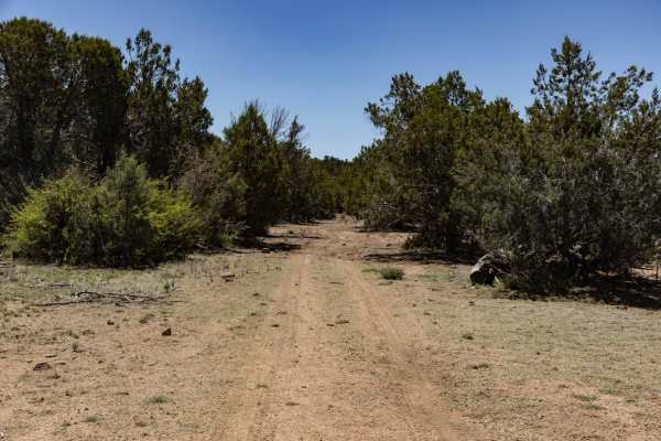
This is a long and rocky ATV trail through a remote part of the Prescott National Forest. The east entrance is unmarked, and it looks like this trail gets inadvertently used by full-width vehicles. The east side starts off pretty smooth and easy through the juniper trees, through flat desert terrain, but it quickly becomes covered in a layer of packed-down, flat, loose rocks that make the trail a really chunky and bumpy ride. It starts to gain some elevation, having short but steep climbs and descents full of small rocks. At times, the rocks become larger, creating small stair-step ledges up and down, and become looser, making you ping around between all the rocks. It gets really steep as it descends down to a big marshy pond, then keeps climbing back up through the hills. It ends on the west side at an unmarked intersection with FS Road 666.
Difficulty
This route is moderate because the rocks are relentless for the entire route, almost 5 miles, making it a very exhausting and physically demanding trail, although not overly technical. It is constantly covered in a layer of cobble, with some steep spots and short ledges, making this trail not ideal for beginners, but not overly difficult, mostly just jarring.