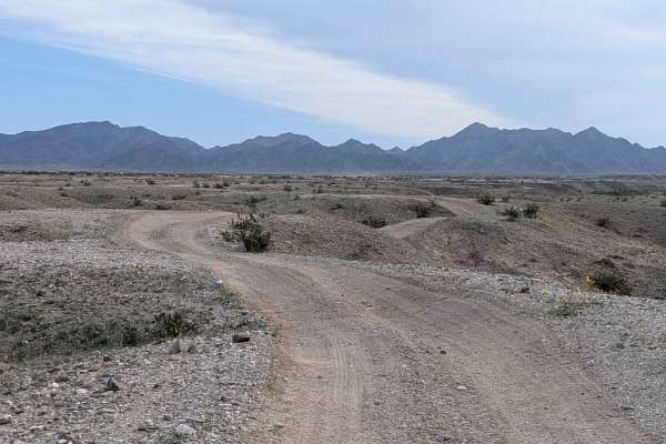
Trail Overview
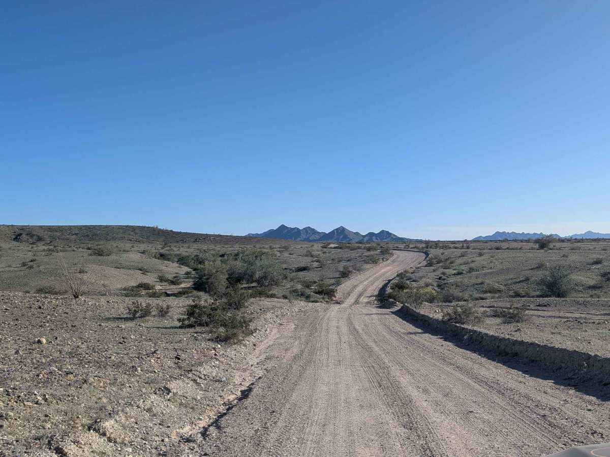
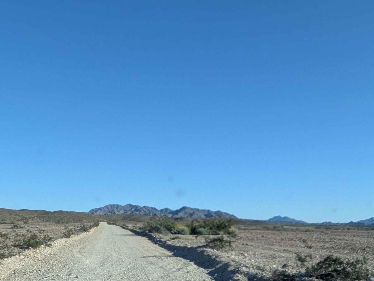
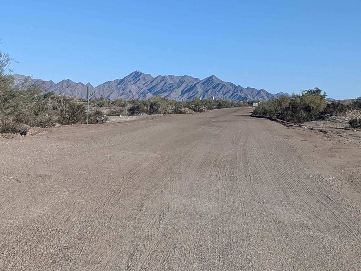
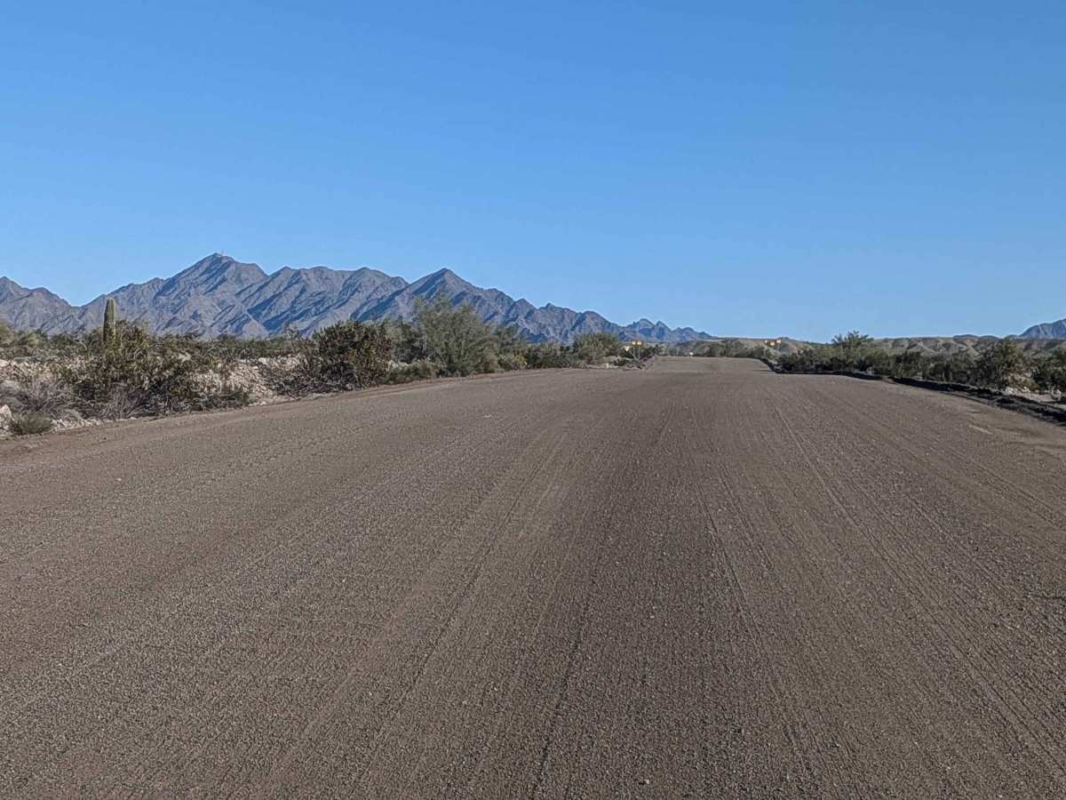
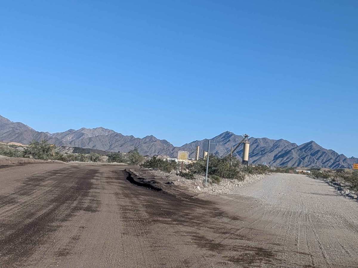
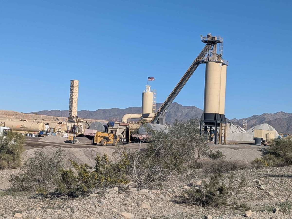
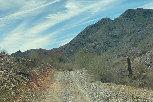
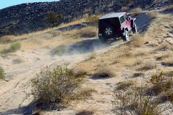
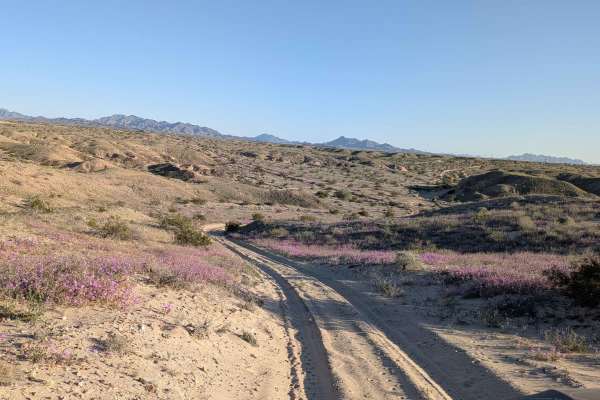
This just over 6 mile trail climbs almost 120 feet and drops over 400 feet, starting off the feeder road from Highway 10. The beginning is very well graded and very wide due to a gravel plant located not far from the start, so be careful of heavy truck traffic in this section. Past the gravel plant, the trail continues to be somewhat graded with lots of dispersed campsites opening up throughout the area. This is heavily used by winter snowbirds coming down from the north to escape the cold. You'll enjoy beautiful views of the Trigo Mountains as you progress. After mile 2.5, the trail gets narrower and rougher as it drops into a canyon, with more small rocks scattered through the trail. Be cautious of the occasional runoff hole on the side of the road that can catch you off guard. The trail officially ends at the border of the Yuma Proving Grounds.
Difficulty
The first 2.5 miles are easy with well-graded, wide surfaces perfect for casual exploration. After mile 2.5, the rating increases to 2 as the trail narrows and roughens with the descent into the canyon. The smaller rocks and runoff holes require more attention but aren't overly technical. Watch for truck traffic near the gravel plant.