Bloody Basin Road

Total Miles 37.9
Technical Rating
3 Easy
Best Time Spring, Summer, Fall
Trail Type Full-Width Road
Accessible By
Open Trail Map

Trail Overview

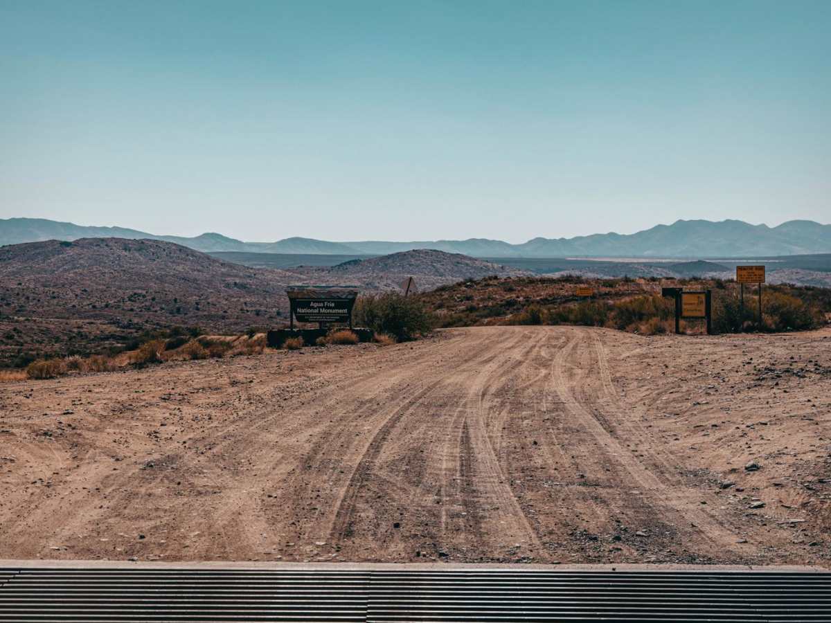
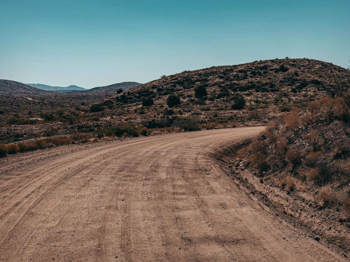
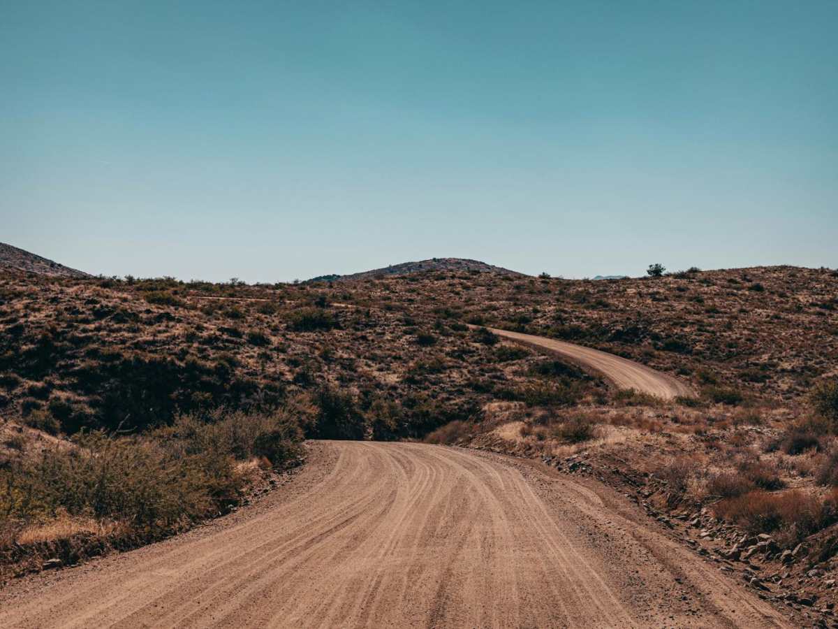
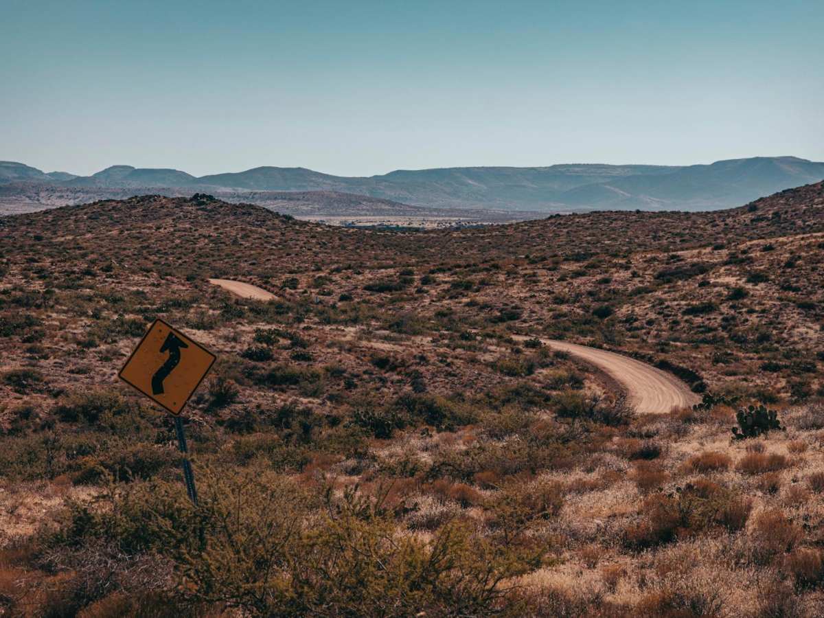
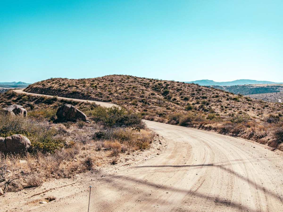
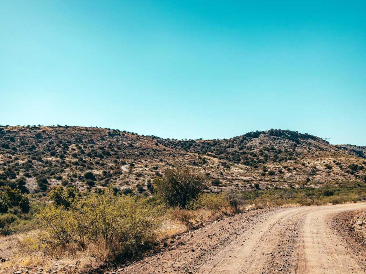
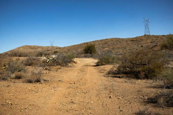
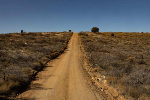
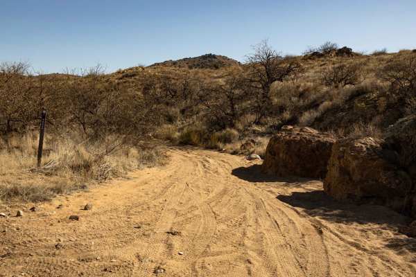
Bloody Basin Road is a forest road that goes through the Agua Fria National Monument and Tonto National Forest in Arizona. This road takes you by archaeological sites and petroglyphs as you wind up and down the ranges and hills. The trail is an out-and-back that terminates at a large turnaround by the Sheep's Bridge. Sheeps Bridge is a walking bridge that goes over the Verde River and is a popular destination for both soaking in the hot spring (North of the bridge on the West Side) as well as camping and recreating. The road starts as a wide forest road with washboard sections and is typical of this area. East of Tangle Creek, the road becomes decidedly rougher, with numerous wash crossings, rock gardens, and ledges. Sections of this road turn into shelf roads, traversing up and down the sides of steep hills with many switchbacks and blind corners. There are many campsites that can accommodate all different sizes of vehicles and trailers, and some even include primitive rock fire rings. As always, please check local forest regulations if you do decide to have a campfire, as this area is prone to large and uncontrollable wildfires. As you proceed Eastward, you'll encounter more areas where erosion and water damage exist on the trail, with potential for vehicle damage if the correct line isn't chosen. There is limited cell service on this trail, especially the further East you go. There are many offshoot trails that lead to different sections of the forest, so feel free to explore, but not all trails are equal, so you'll want to be prepared as you venture deeper into this area.

Photos of Bloody Basin Road

Difficulty

This is a wide forest road with shelf road sections, steep inclines, and declines on loose rock and material, as well as rock gardens and water damage that can damage vehicles. Caution is urged. Many wash crossings might become hazardous if this trail is visited during monsoon season or after a moisture event.

Technical Rating

3

Status Reports

Add Status Report
Eric N
Dec 05, 2025
Open
It's been dry for more than a week so I took a chance on BBR to Sheep's Bridge from I-17 and it was in okay condition. I made it in my stock Crosstrek Wilderness (which wasn't very happy with the mud here back in September during an epic monsoon storm) and the Agua Fria River crossing was very low near the Fish and Game ranch. Autumn's rain has carved some very noticeable tall, but dry, ruts on the trail all the way to Sheeps' Bridge, especially during the 6 mile narrow descent approaching from the west before Cave Creek Road (24). The ruts made it even bumpier and slower going than usual as it looks like there hasn't been much traffic here this season. Closer to Sheep's bridge there were about 4 sandy stream crossings about 12" deep but easily doable. I went back to the Valley on Cave Creek Road through Seven Springs and that road was in much better condition, which made for faster driving, albeit slightly longer in mileage. Great fall foliage in the creek. Saw only one other 4x4 on the trail with me.
Aaron Lescarbeau
Nov 28, 2025
Open
Took off from exit 259 Bloody Basin Rd. and went all the way down to Cave Creek Trail that ended in Cave Creek about four hours total with some small stops and semi slow pace.
Eric N
Sep 26, 2025
Open
I picked the wrong day to drive Blo*dy Basin to Sheep Bridge as I thought I would be clear of the evening storms forecasted and off the trail by noon. I came up through FR 24 from Cave Creek/Scottsdale/Carefree and the trail was soggy but showed no signs of previous tracks. I didn't make it to Sheep Bridge as it started pouring rain on my final 8 miles so I turned back towards the I-17. The entire trail became almost impassable for a good hour as the most water I have ever seen started flooding Blo*dy Basin and I crossed no less than a dozen 12" or higher washes with some incredible velocities, some as wide as 20 feet! Mud was manageable with running water but once it stopped raining, the mud would jam up my AT tires and I could only crawl at 5mph. The Agua Fria crossing at the AZ Fish and Game ranch was completely impassable for a few hours but ended up crossing after waiting a few hours because I didn't want to deal with the mud again. I did my best not to destroy the trail but some parts will dry as ruts.
Wes Braithwaite
Aug 23, 2025
Open
The trail was dry. The verde river was brown and not swimmable. The roads are regular forest roads with a lot of ruts and we had to drive slow. We made it easily with a stock Jeep. It took a bit over 2 hours from I17 to Sheeps Bridge. Budget more time than your GPS says.
Joe V
Jun 29, 2025
Open
Louis Domokos
Jun 20, 2025
Open
Frederick Smith
Mar 21, 2025
Open
TJ Kowacz
Mar 18, 2025
Open
First 12-15 were not terrible. But the last 15-16 miles were very rocky and rough. Slow going for sure. Four wheel low for sure to crawl over there obstacle. Took us from 1000 to 1530 to get in and 1000 to 1500 to get out. Def need a 4x4 with high clearance.
Krysta Summers
Mar 17, 2025
Open
Very rough after recent rai s, more bedrock had been exposed, loose rocks had definitely shifted around. Only 1 puddle took up the entire road, bit it was less than 12” deep.
Jacob Venter
Mar 09, 2025
Open
Krysta Summers
Mar 03, 2025
Open
Drove I-17 to Windmill Wash and back out. All crossings were dry. The bit of moisture I encountered was snow that didn’t stick, it melted and evaporated quickly.
Michael Perkinson
Feb 20, 2025
Open
J m
Feb 14, 2025
Open
First part of the trail is super smooth. Second half past the cave creek rd intersection is very rough with large loose rocks and rutted sections. Any stock 4x4 can handle it but highly recommend airing down and picking lines carefully to avoid tire punctures. For reference I completed this in my completely stock gladiator Mojave on 35s
Michelle Taylor
Feb 09, 2025
Open
The last 12 miles to get to the bridge are doable but not easy and slow moving. Some pretty rocky areas and washes. Airing down tires helped but it was long.
Devin Wiseman
Jan 24, 2025
Open
Road was rough in places, but entirely doable. lots of traffic on the road. Road was narrow and could be difficult to pass opposite traffic in places.

Bloody Basin Road Trail can be accessed by the following ride types:

  • Single Track
  • 50 Inch
  • 60 Inch
  • High Clearance
  • Full Width

Bloody Basin Road Map

The onX Offroad Difference

onX Offroad combines trail photos, descriptions, difficulty ratings, width restrictions, seasonality, and more in a user-friendly interface. Available on all devices, with offline access and full compatibility with CarPlay and Android Auto. Discover what you're missing today!

Open Trail Map