Trail Overview
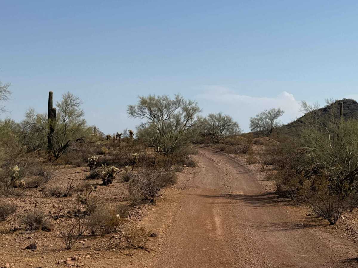
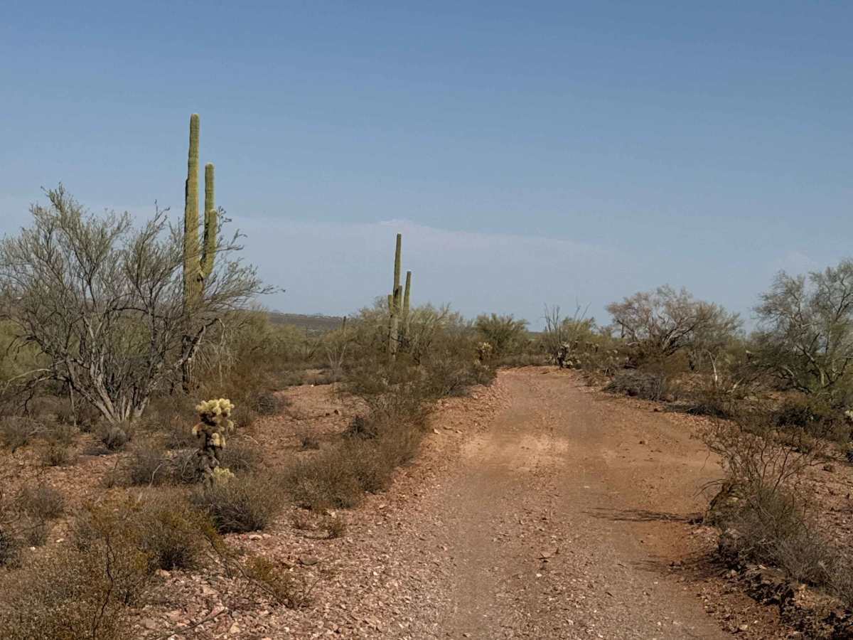
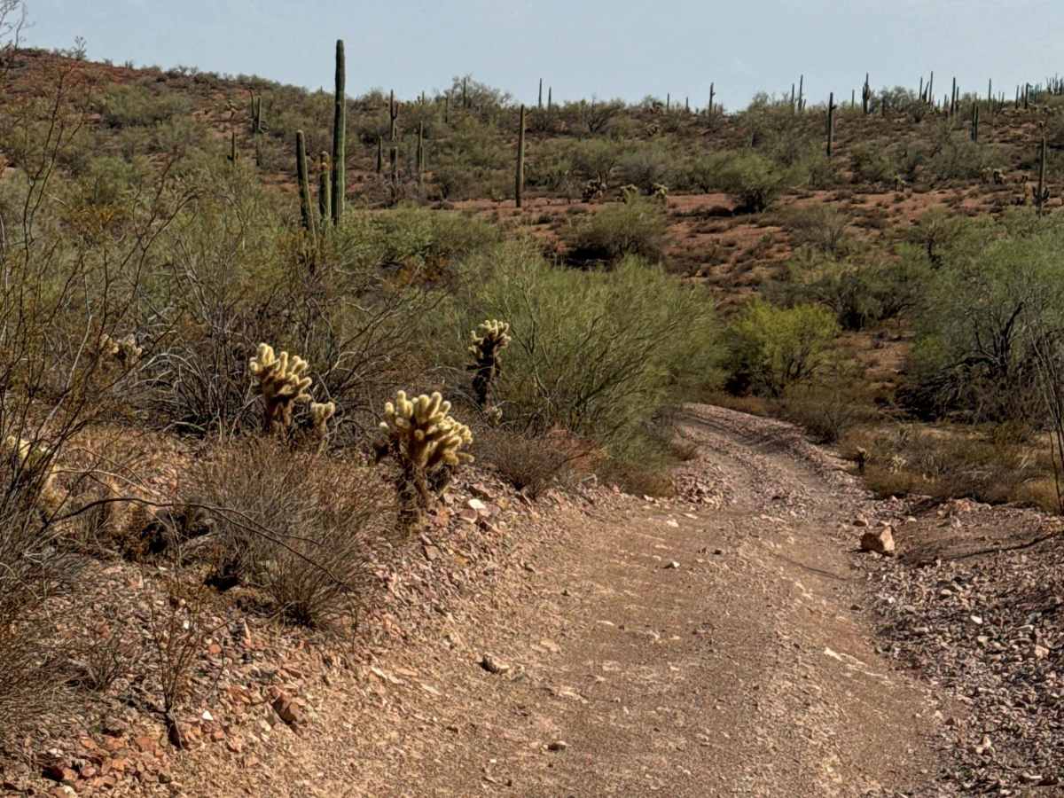
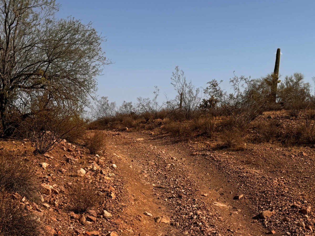
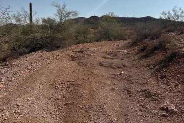
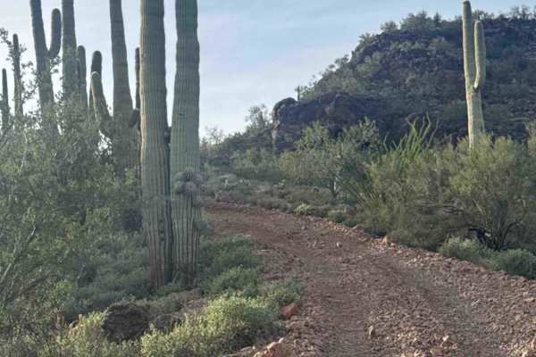
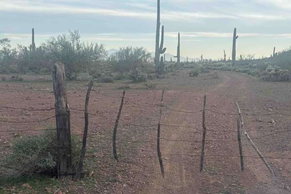
BLM 38064 is a point-to-point rocky gravel trail that begins about .20 miles from Vulture Mine. We mapped it east to west through classic Sonoran Desert scenery filled with saguaros, yucca, cholla, and creosote.
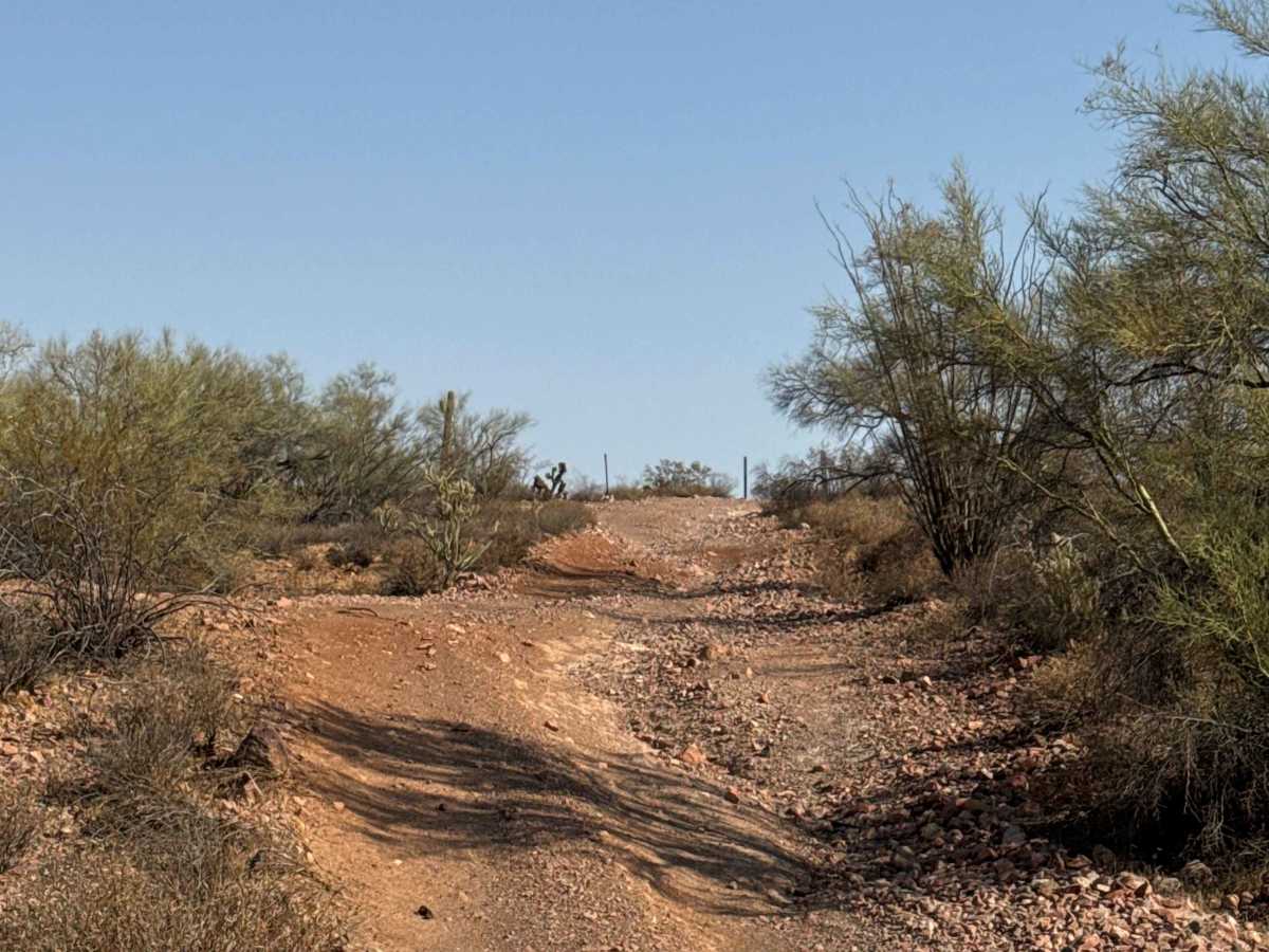
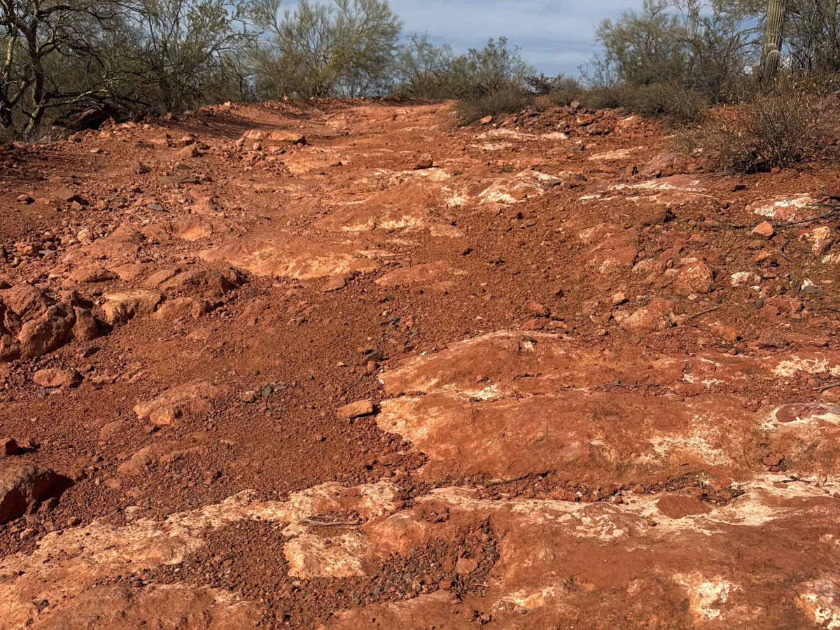
The trail features two steep climbs/descents with exposed 12–18" rock shelves and multiple lines to choose. Nothing is overly technical, but watch your angles, differentials, and tire placement. Several off-camber curves in multiple sections that require keeping your tires level and the V centered.
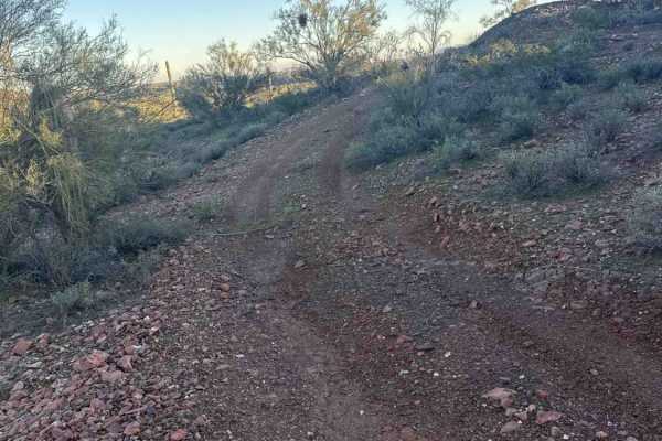
After crossing a wash, you'll pass a few spur trails. Stay straight to the first Y, then go right. The trail tightens through vegetation but remains non-technical and plenty wide enough for a full-width vehicle.
At the next Y, go left, descend to a wash, cross it, and climb the opposite side. The trail ends at 38099, which connects back toward Vulture Mine, and 3 other trails in this network.