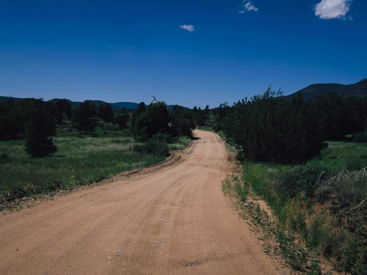
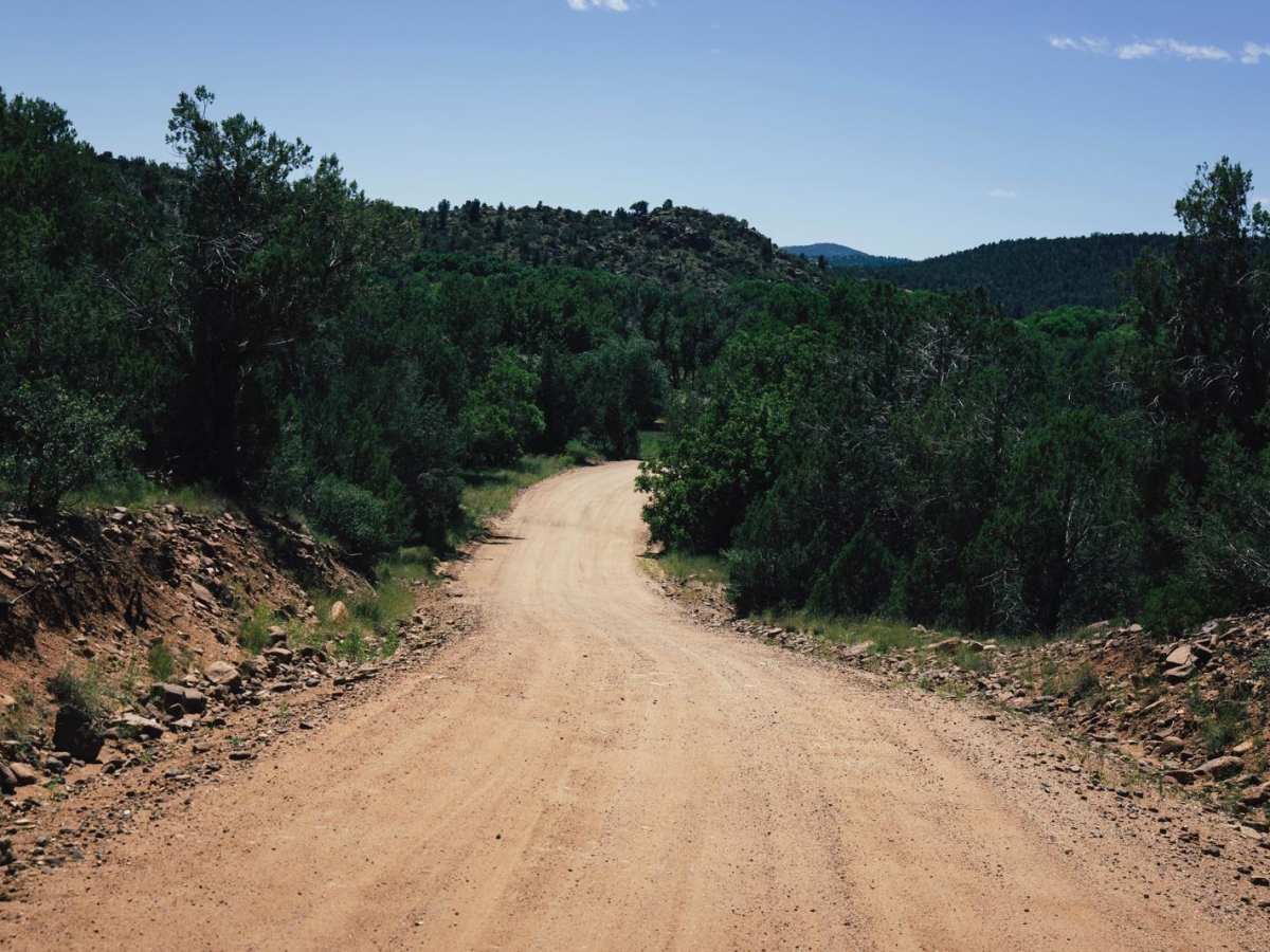
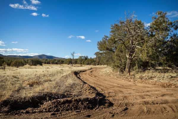
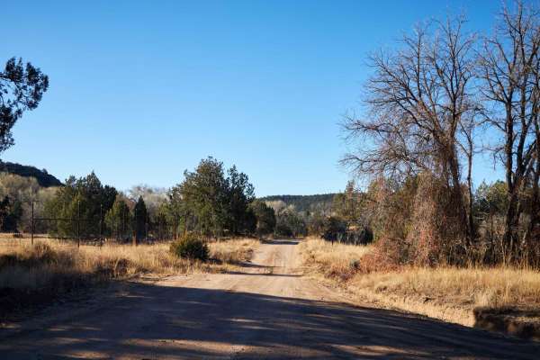
Trail Overview
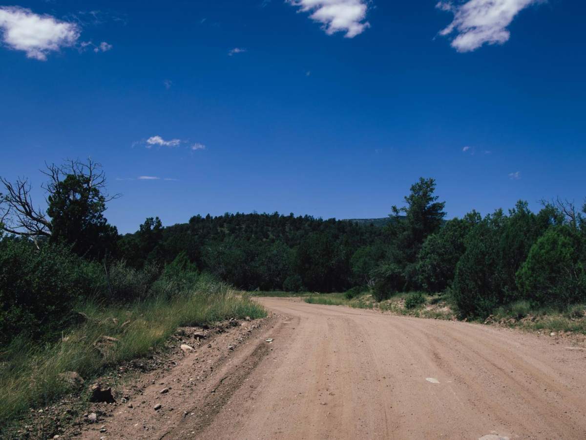
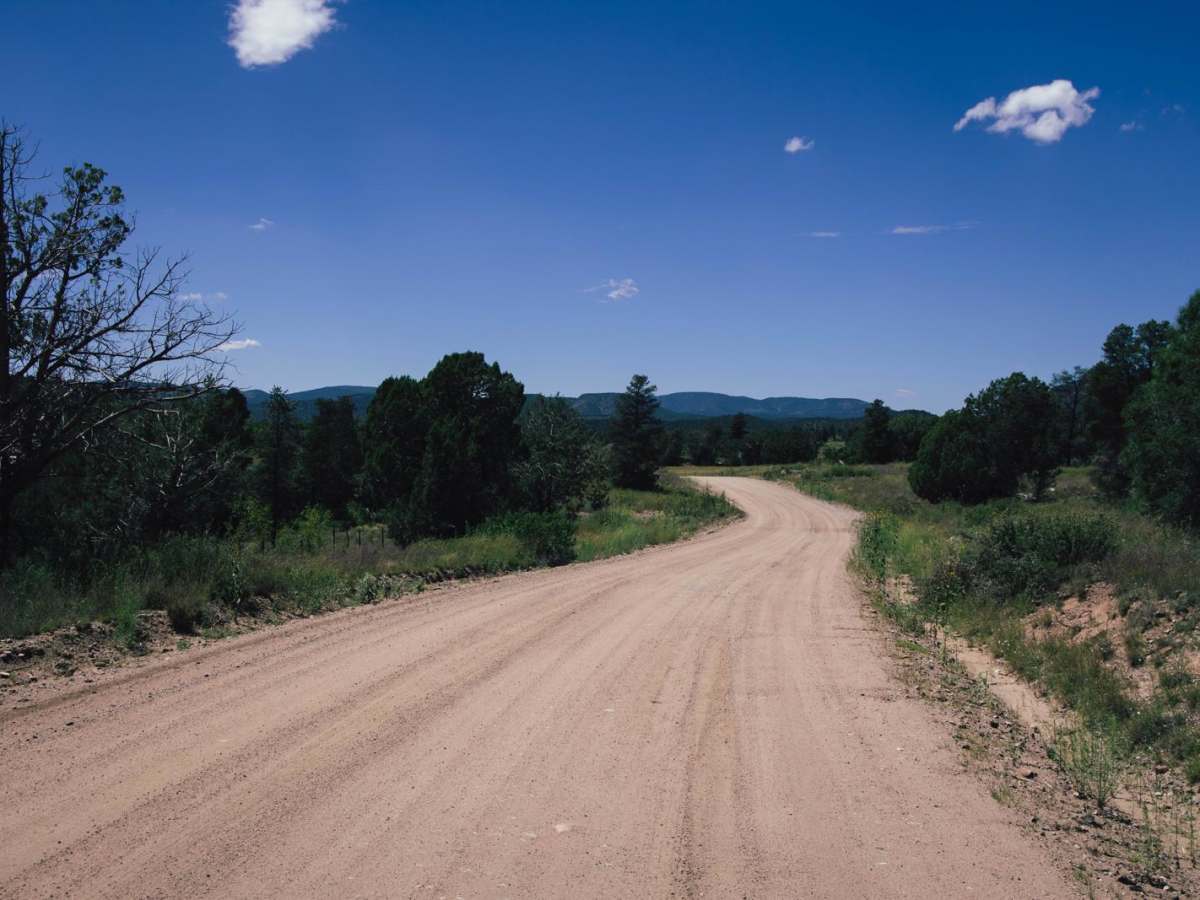
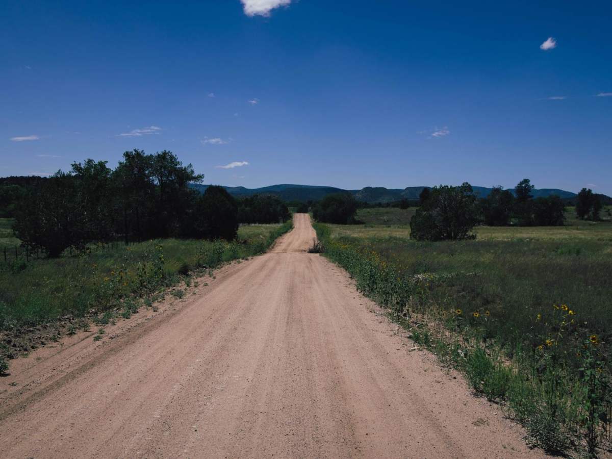
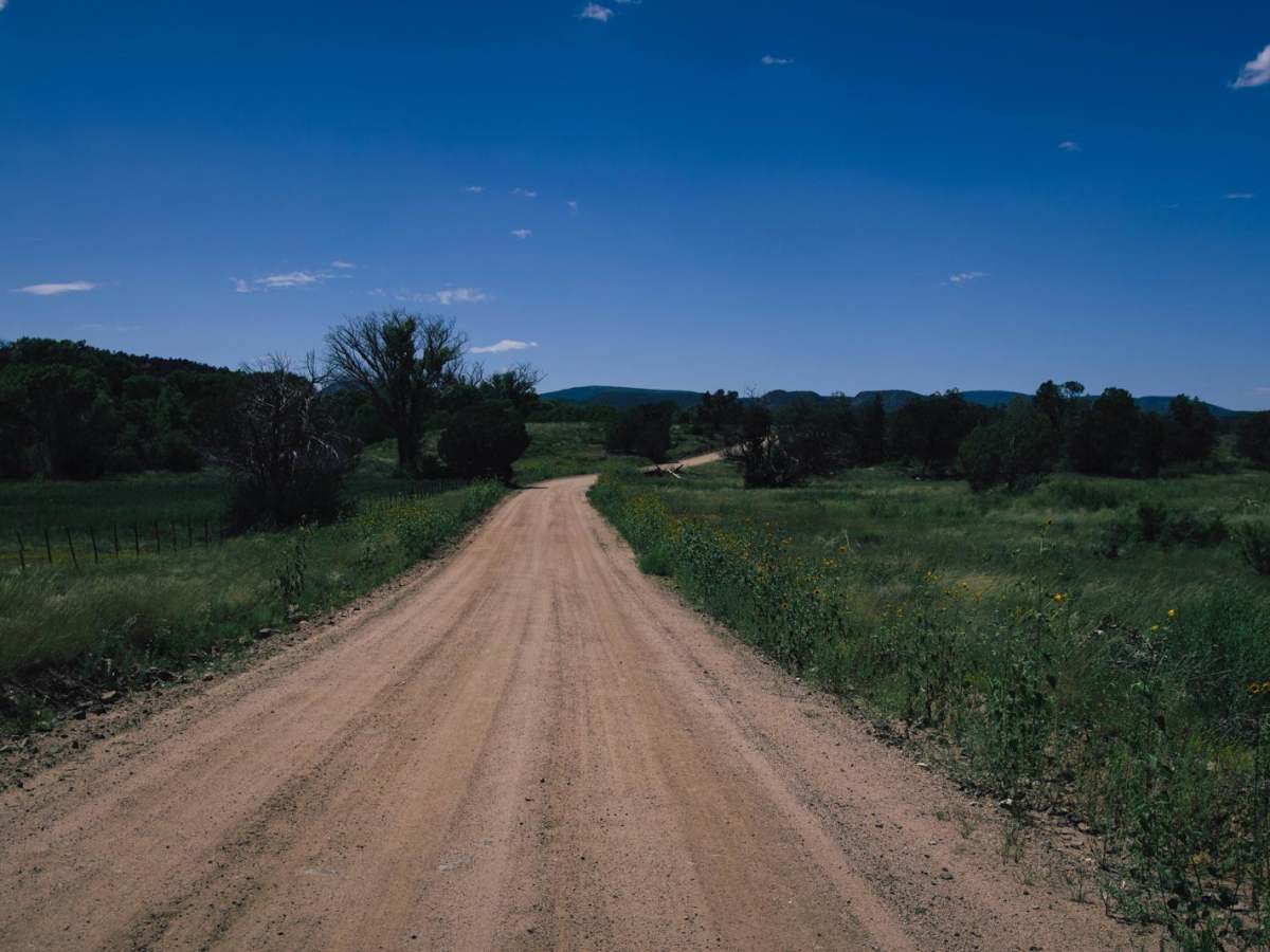
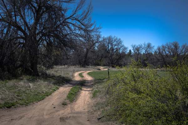
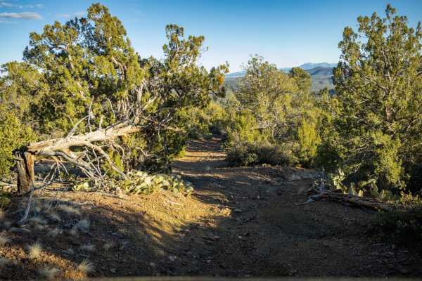
The Baca Float trail is a wide gravel road that traverses the Prescott National Forest. The only access is off of the main artery through the forest, Williamson Valley Road. Much like Williamson Valley Road, Baca Float is a main road that provides access to the wonderful forest to locals, ranchers, hunters, and other outdoor enthusiasts. There are no obstacles along this road, and it seems to be semi-maintained as it is graded multiple times a year. There are a few places where this road crosses low spots and washes, so please adhere to local signage and never enter these areas when they are flooded. This is a wide road, with places to pass and turn around, though there are numerous one-lane bridges along this road, so you'll want to pay attention. This road also provides access to the Walnut Creed Educational Center, so there may be traffic and people about, so caution is urged. The trail terminates at the western edge of the Prescott National Forest at a locked gate, and it is well-marked.
Difficulty
This is a wide road that is semi-maintained as it is graded several times a year. The road is wide, with some one-lane bridges, and has no major obstacles. There is also no cell service, so offline maps are recommended.