Trail Overview
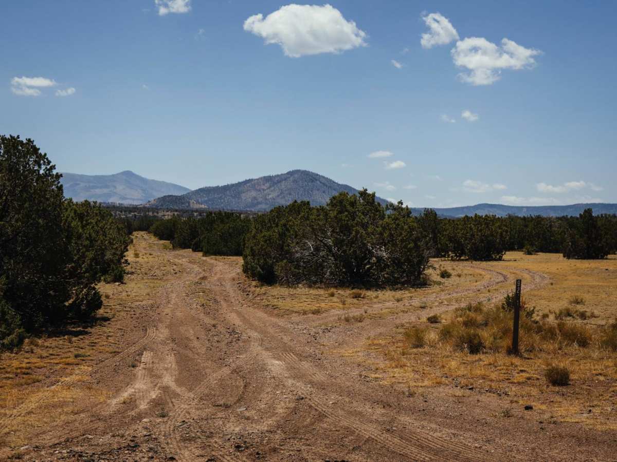
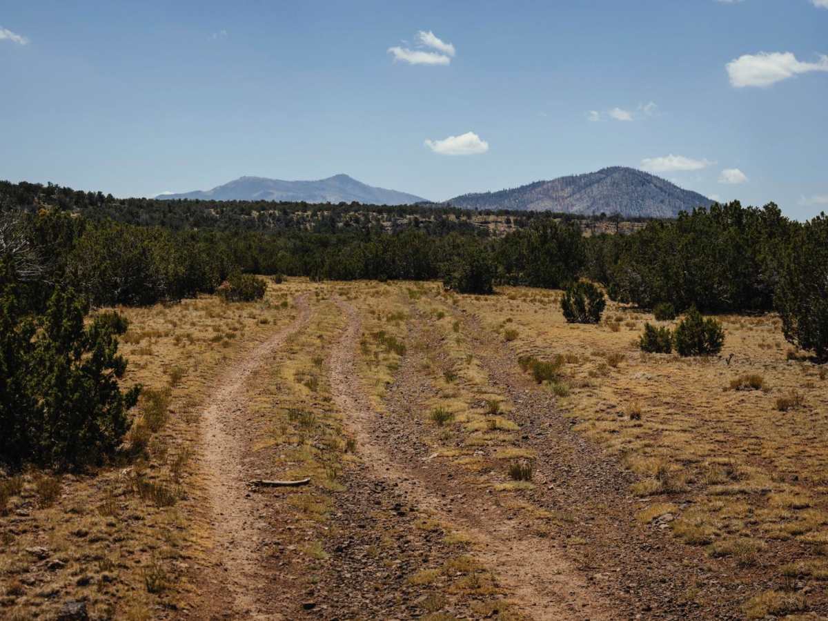
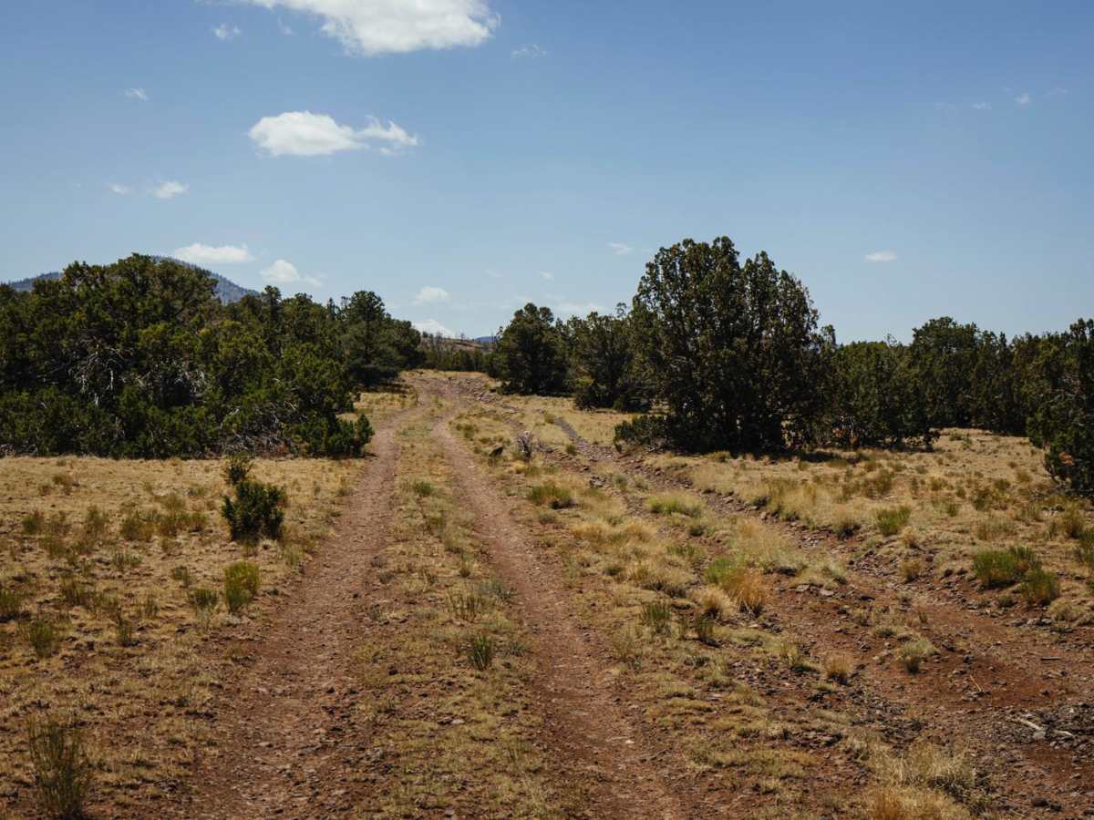
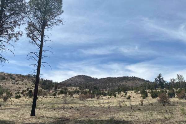
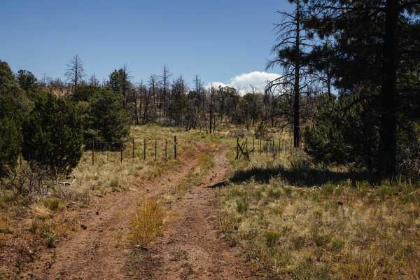
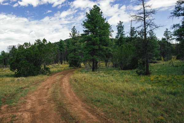
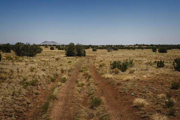
9222A consists of a single-lane rocky trail that has no major obstacles on it. There is an uphill rocky section that has a ledge that could become exacerbated by rain and or snow. Other than that, the typical mud ruts and erosion with water damage exist along this trail. This trail bobs and weaves between meadows and pine forests that make up this area of the Kaibab National Forest. Much of the trail to the South travels through a large burn scar from a recent wildfire. These forests and prairies are popular grazing lands for cattle, so cows may be present. Wildlife such as elk, mule deer, javelina, turkey, and mountain lion are common in this country, so caution if leaving your vehicle is recommended. There are sneaky rocks and erosion along this trail, but nothing that would make it impassable, but there is water damage that might be exacerbated after monsoon season or during a moisture event. Cell phone reception is intermittent at best along the route so offline maps are recommended.
Difficulty
This trail is unmaintained and has water damage, erosion, and rocky sections. There is a hill with a small ledge that might be exacerbated by rain or moisture damage.