Trail Overview
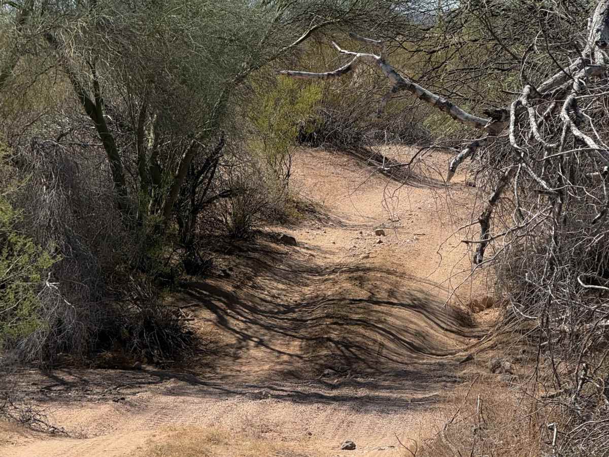
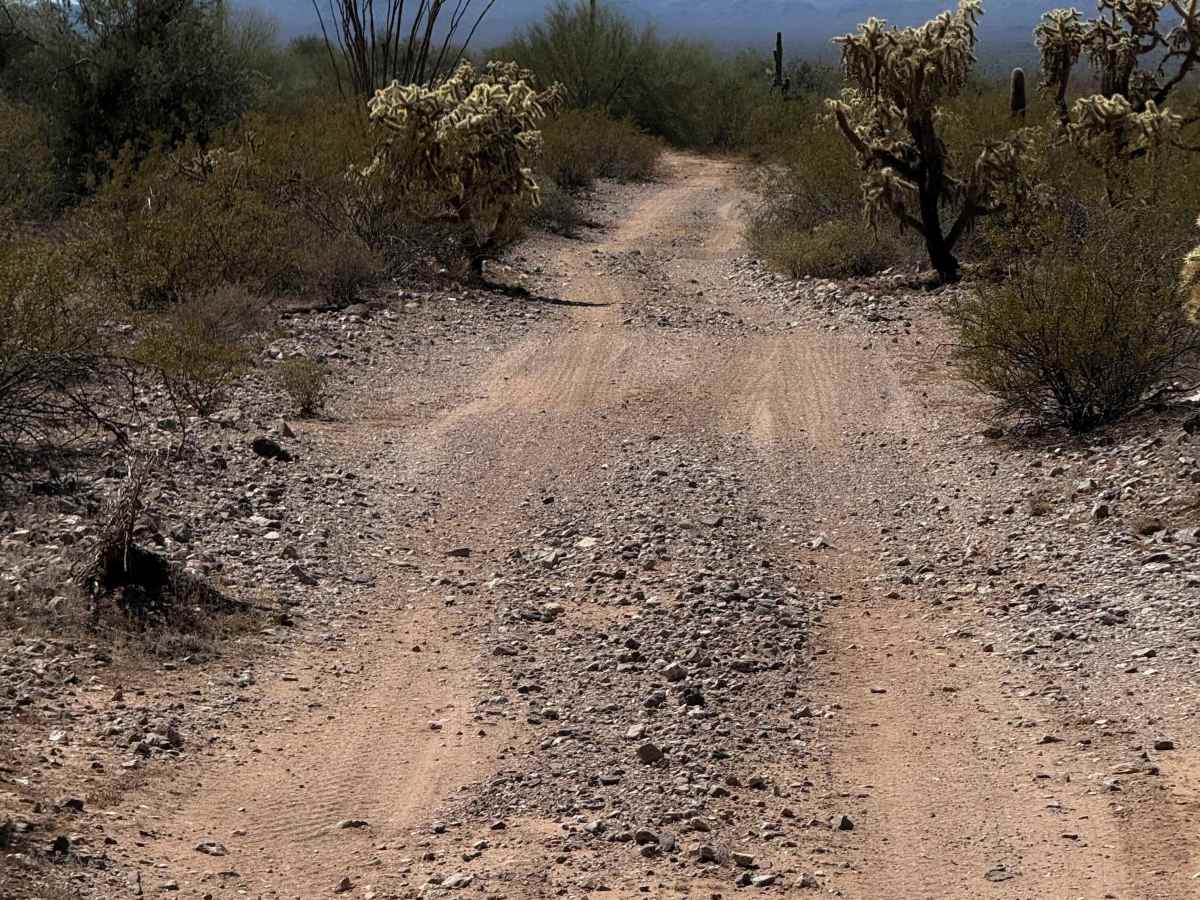
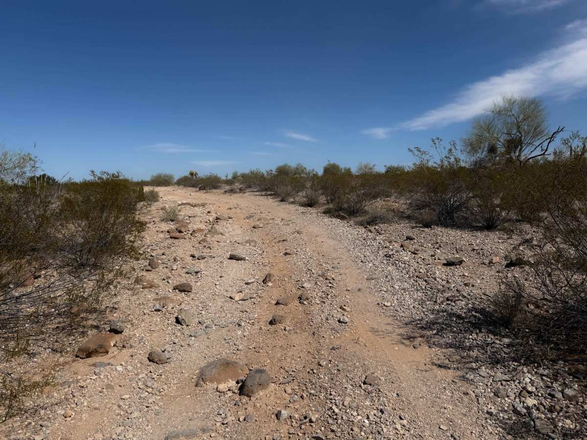
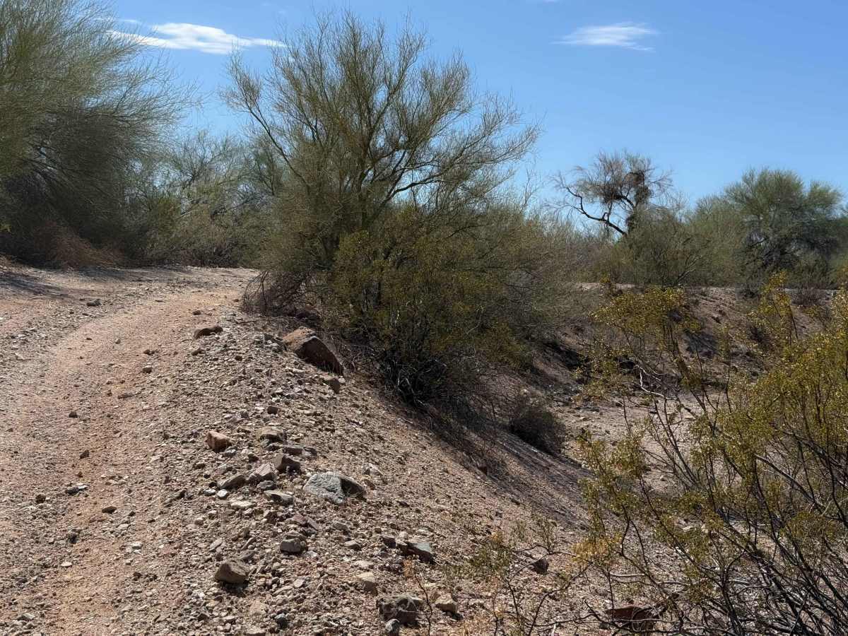
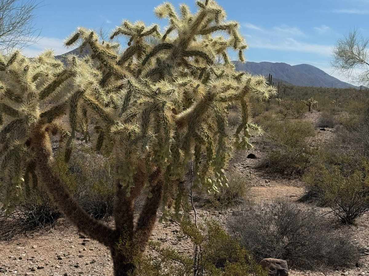
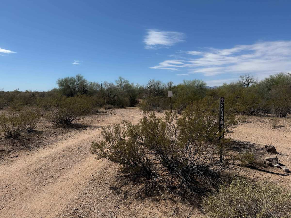
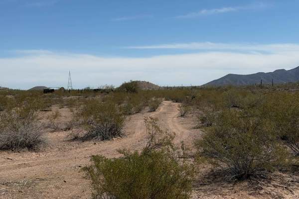
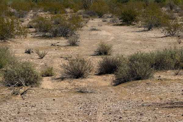
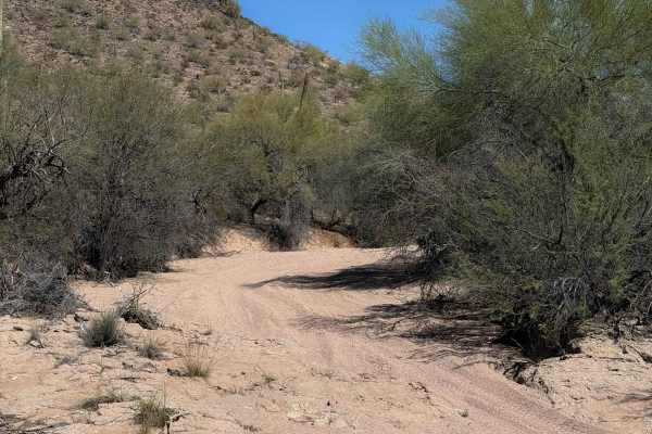
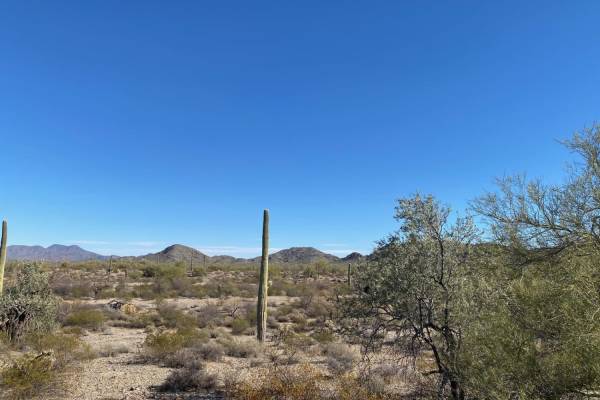
BLM route 8042 starts on the north end as a narrower trail between a couple of paloverde trees, with branches sticking out into the trail. After the initial entrance, it opens up as it goes south, wider like a road. The route is a mix of sand washes and hard-packed dirt trails over the low rolling hills, but it remains mostly flat for the entire route, with very little elevation change. It passes a few big saguaro cactus, gardens of cholla, with views of the distant mountains in the Table Top Wilderness. The trail remains very easy, with only a few small dips in and out of ravine crossings, and small ruts and rollers, keeping it interesting, but manageable for all skill levels. Watch out for washouts, changing conditions of erosion, or sudden ravine crossings. On the south end, it rides on top of a small elevated bluff above a wash. The trail is on the edge of wilderness land and BLM, so it is important to stay on the designated route.
Difficulty
This is a consistently easy trail, with only minor technical elements such as small ravines and ruts. It has very few loose rocks, being mostly hard-packed dirt or gravel, and a bit of sand. It is manageable for all skill levels.