Trail Overview
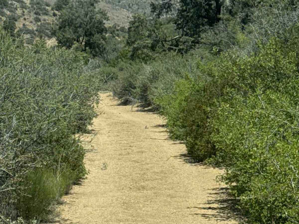
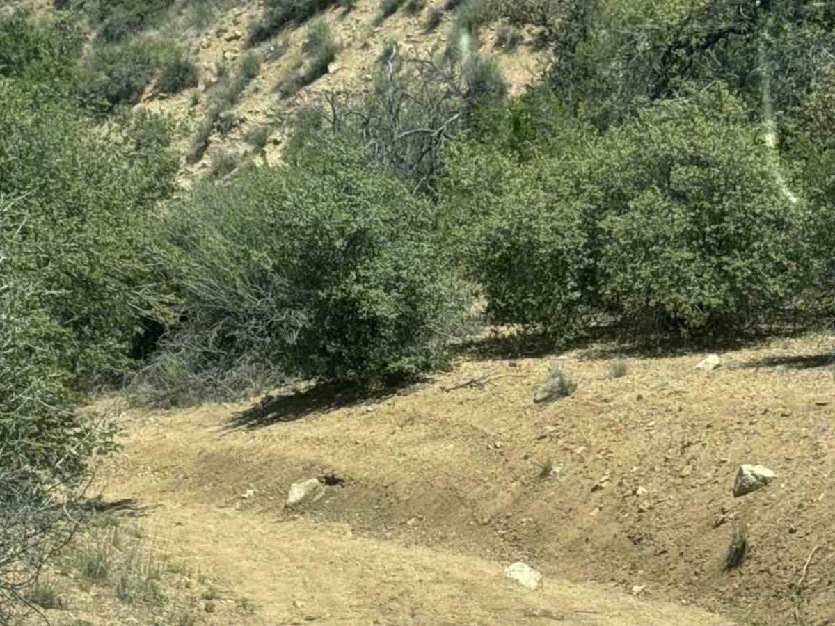
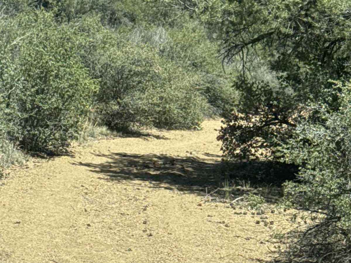
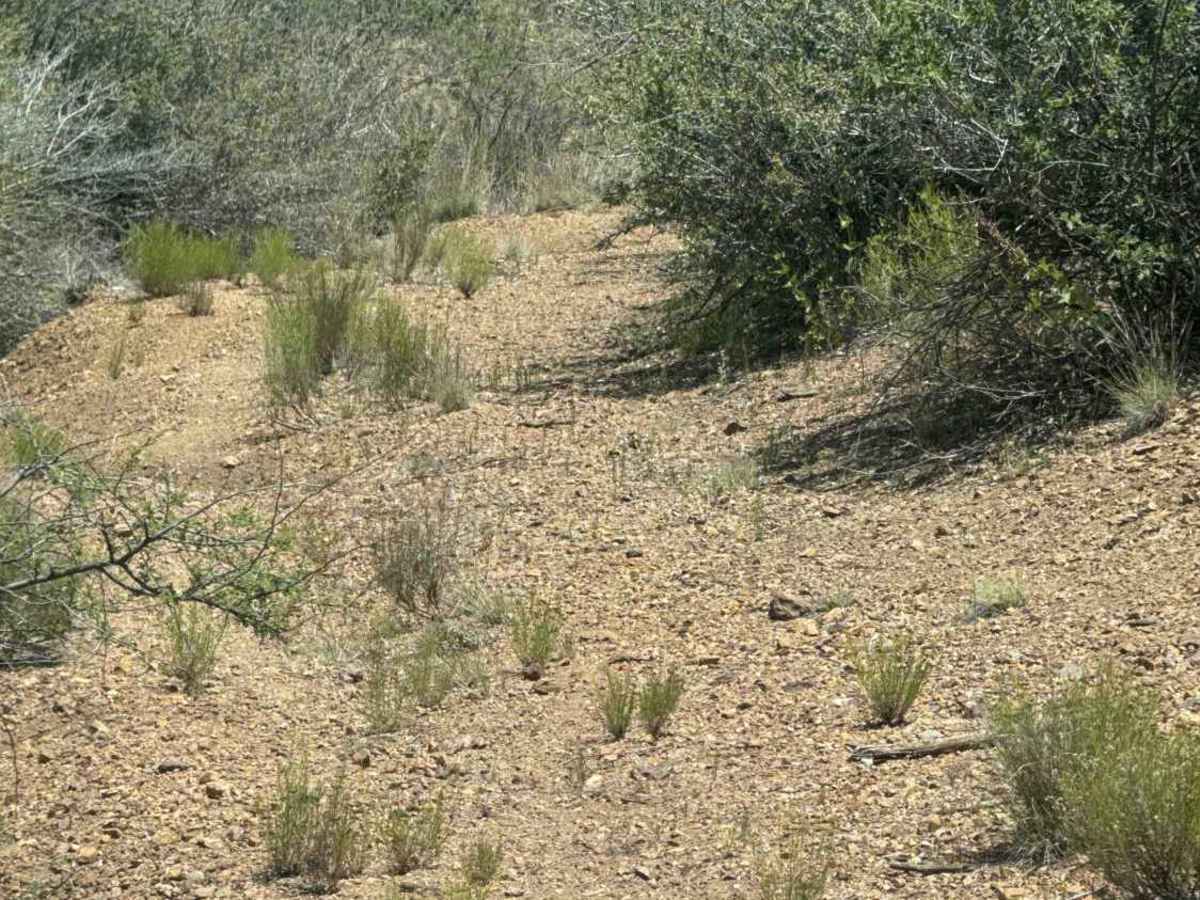
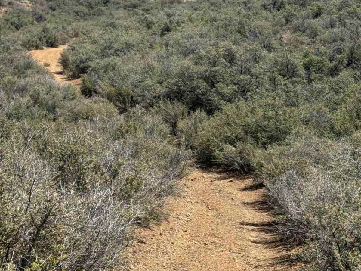
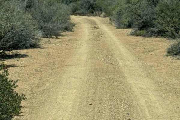
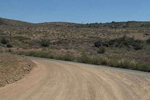
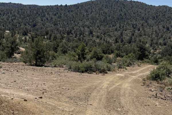
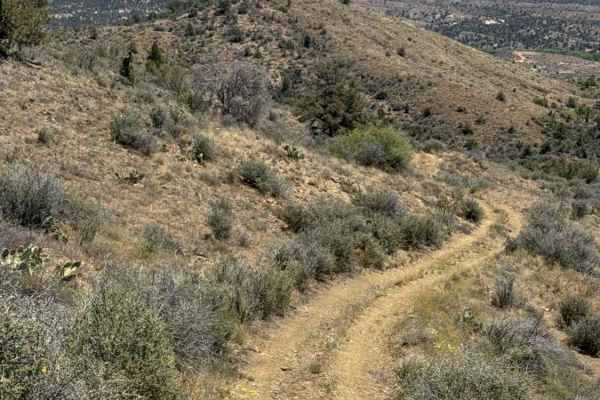
Trail 51025 begins by turning right at the three-way intersection and follows a narrow gap between two mountains rather than a true wash. The trail quickly tightens into a series of S-curves lined with heavily overgrown trees and brush. Expect heavy pinstriping throughout the route, and watch carefully for large overhanging branches capable of damaging windows and mirrors. The upper section contains major washouts with highly off-camber terrain requiring slow speeds and careful wheel placement. 4WD is necessary, and wide-body vehicles are not recommended due to the narrow sections and vegetation. This trail becomes extremely dangerous and potentially impassable during or after bad weather. A valid Arizona State Trust Land permit is required. Further down the mountain, the trail repeatedly crosses through the wash over larger loose rocks before sections of the route continue directly inside the wash itself. Near the bottom, the trail exits through an open fenced area that appears to have once been an old homestead site. Running the trail top to bottom eventually brings you back out to Cherry Creek Road.
Difficulty
Tight, overgrown sections, washouts, close trees, off-camber areas, and rocks up to 12 inches in the wash area require proper wheel placement. This route may become impassable in bad weather.