Trail Overview
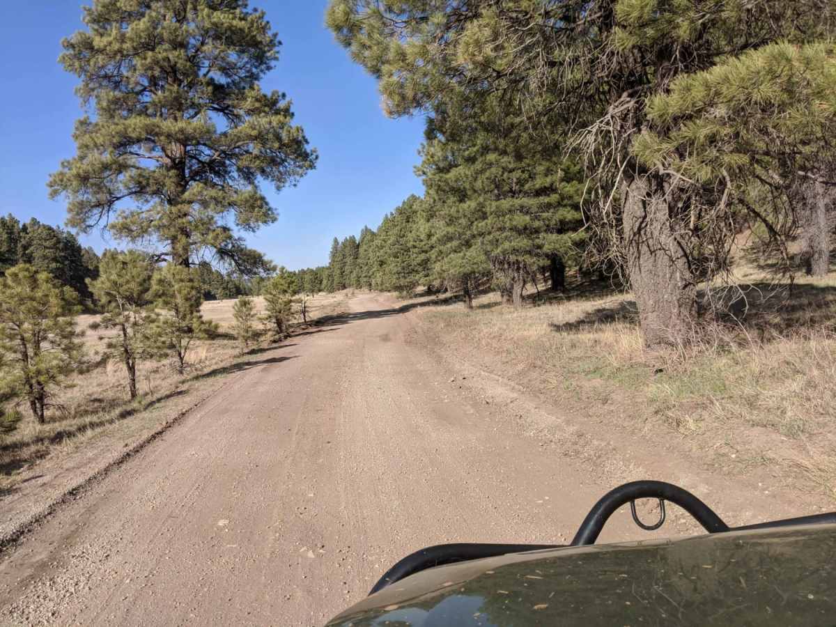
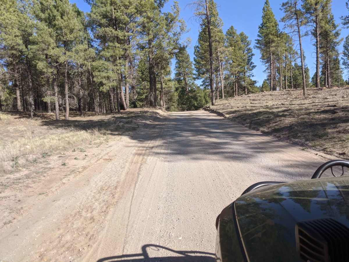
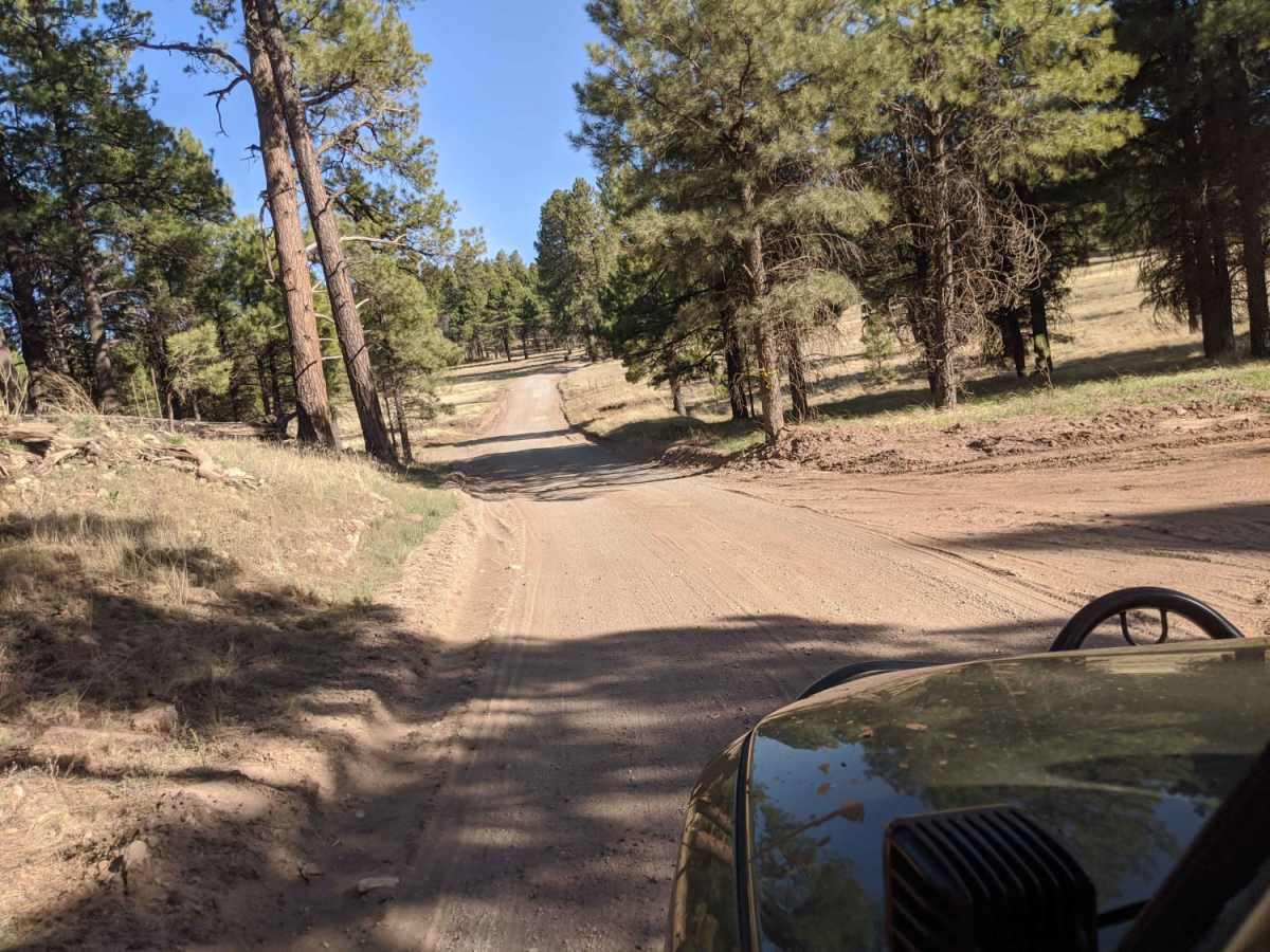
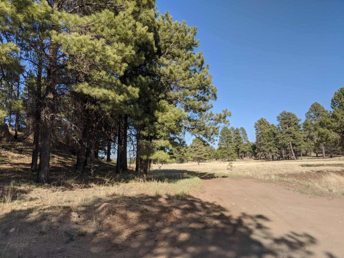
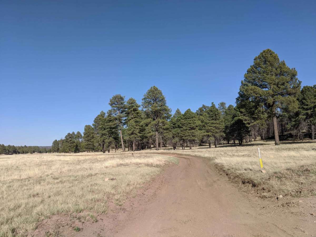
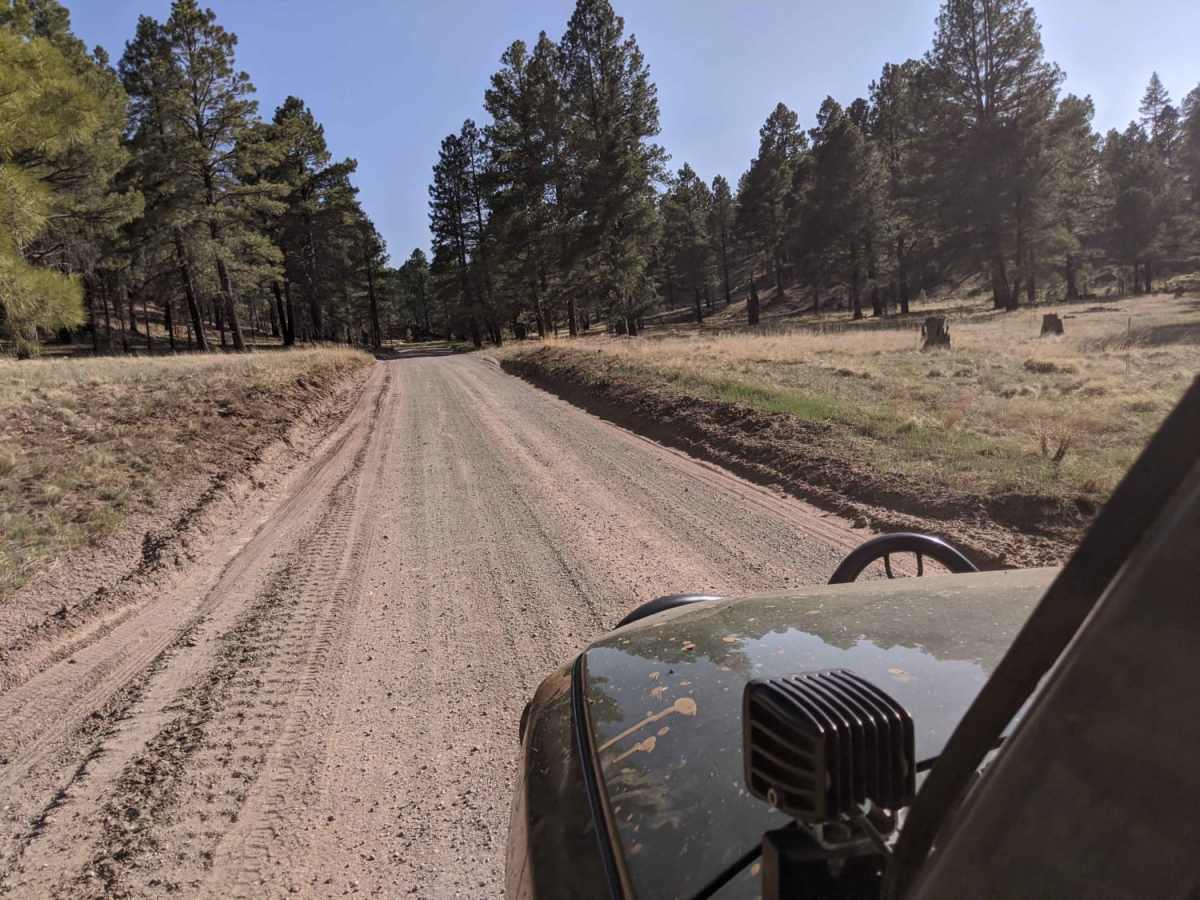
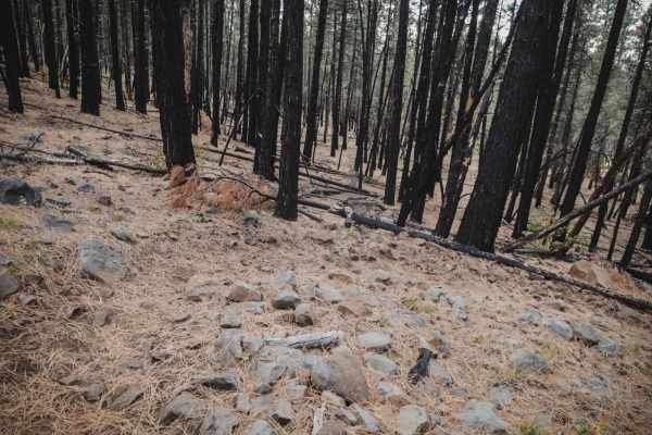
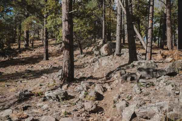
09487x Road is a short, scenic forest route in the Coconino National Forest that offers a rugged, slow-moving crawl through beautiful ponderosa pine country for high-clearance 4WD vehicles. Spanning approximately 1.8 miles, this unpaved route connects Forest Service Road 236 near Half Pint Tank and Coulter Park Tank to the northeast, passing just south of Thomas Spring. Despite its short distance, the trail features elevation ranges between 7,235 and 7,325 feet, offering scenic vistas of the surrounding mountain landscape, including views toward Howard Mountain.
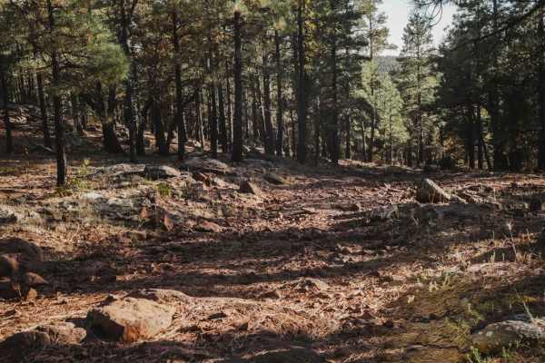
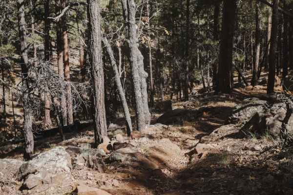
With a technical rating of 3, the dirt and rock surface is bumpy and rough, requiring a vehicle with decent ground clearance to navigate a few small rock-crawling sections. This route is not winter maintained, meaning snow and ice can make it impassable during the colder months, while wet weather turns the dirt sections into extremely thick mud.
Access Description
Located within the Coconino National Forest, this road is free to access and does not require a special permit. However, the route is not winter maintained, making it impassable during heavy snow. Additionally, wet weather can create extremely muddy and damaging trail conditions, so travel should be avoided during or immediately after rainstorms. Vehicles should have high clearance and four-wheel drive.