Trail Overview
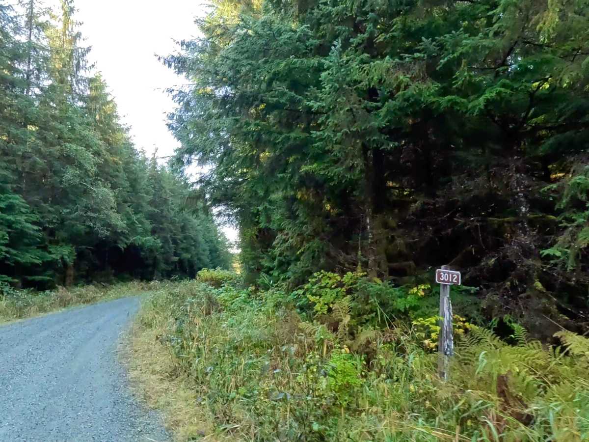
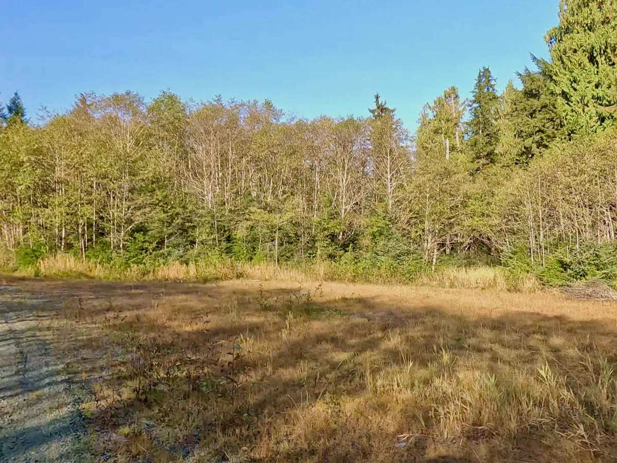
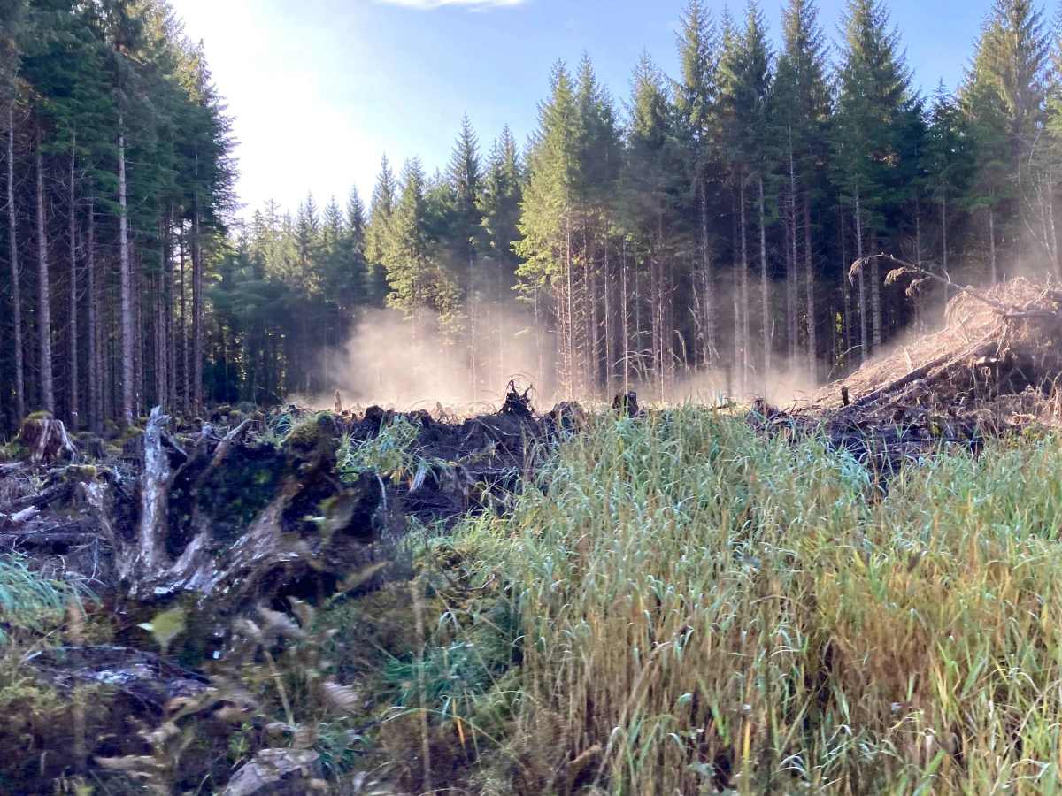
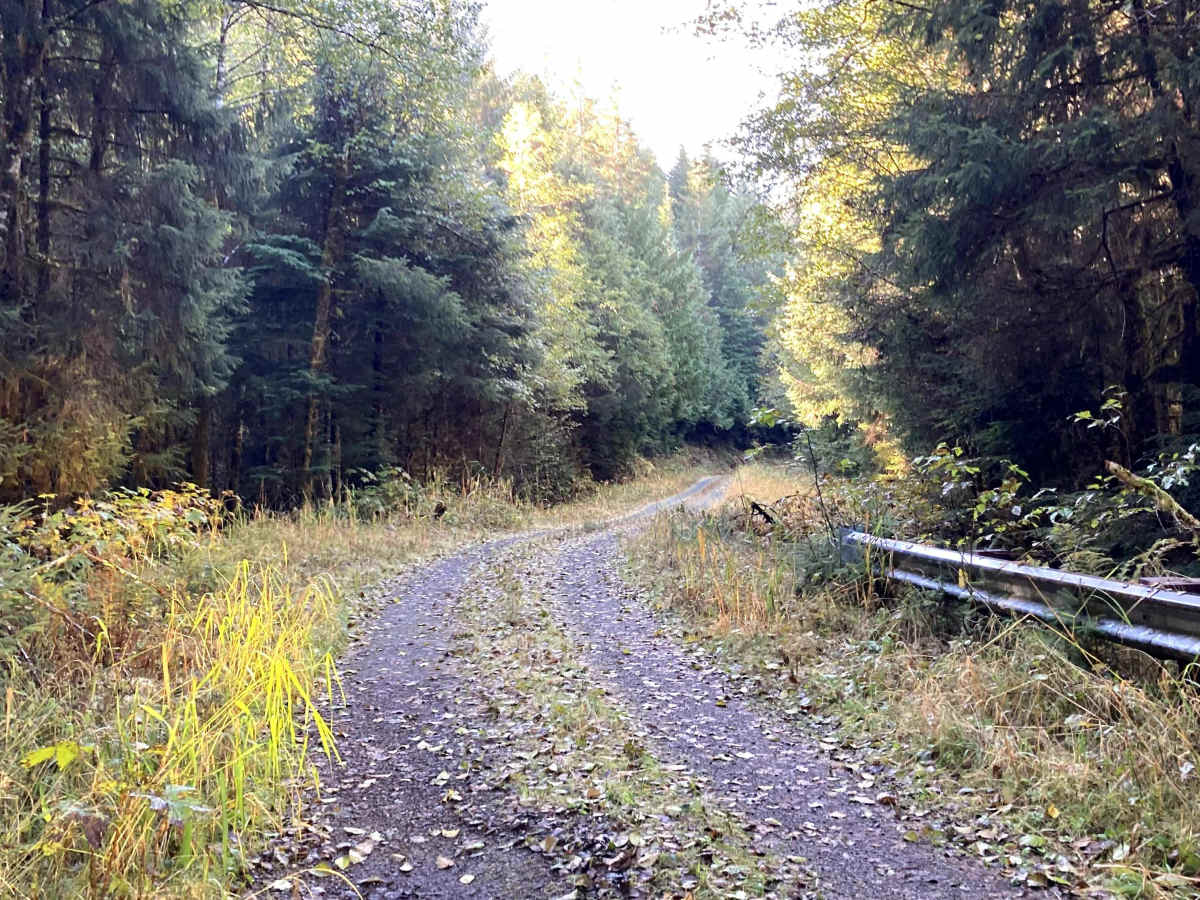
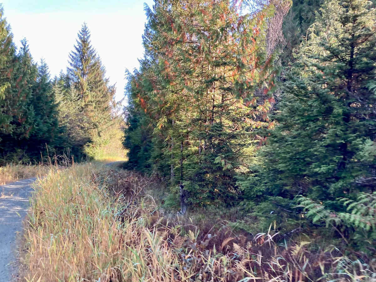
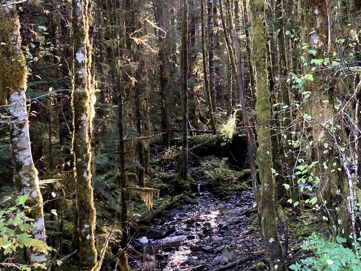
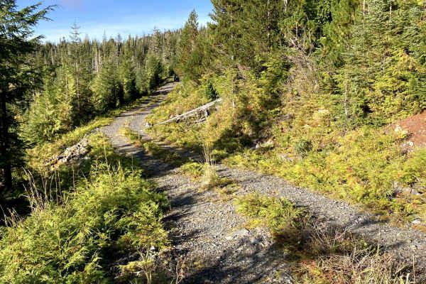
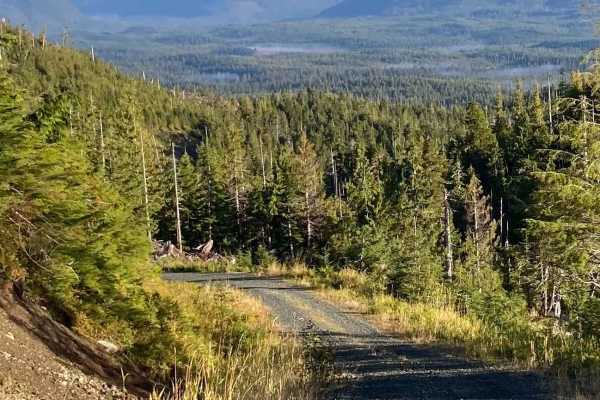
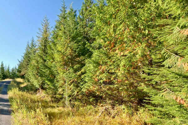
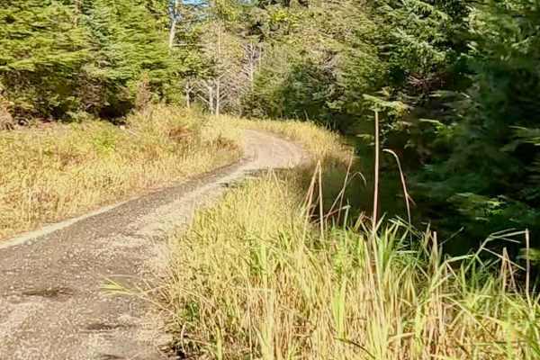
Rio Beaver (FS 3012) is accessed by Thorne Bay Road. A tree-lined one-lane gravel road winding around hills and creeks connects 3 ATV/Motorcycle trail spur roads. This road starts out more open. Between the first two attached roads is a Rock Quarry on the left and a large flat area for group parking or turning around. The road goes through dense forest and over a bridge and several creeks. The side ditches have water in them in some sections, and as the road continues, it gets a little rougher with more pot holes, moss, and grass growing in the centerline and stays relatively flat (159 to 454 feet in elevation gain) following along the creek. Keep right at the Y to stay on Rio Beaver. On this road, the trees lining the road are tall, and as the road narrows, it makes this trail darker even in the middle of the day. Vegetation starts growing into the road closer to the end, and there is water sitting over the trail where the water is rising on both sides of the road. Watch for downed trees and be prepared to move trees blocking the road. This road goes into an area with muskeg with pond or creek water at the edge of the trail. There isn’t a good designated turnaround or backup option at the end. As there are signs of muskeg, ponds, and water along the road toward the end, it is recommended to walk the area you are going to use in order to back up or turn around in the trees to make sure you won’t sink and get stuck. It is not recommended to bring a trailer past the area at the beginning of the road with the large clearing between the first two ATV/Motorcycle trails. There are no pull-over spots seen at the end, where the road is overgrowing. The attached trails all show climbing up to 1000 feet and appear to have cleared areas for views. The attached trails are all classified as ATV/Motorcycle trails. This is a down-and-back road that all vehicles could travel on until the end, past the last trail. A full-size vehicle would have a difficult time at the very end of the road. You can see Sitka spruce, Western Hemlock, Red cedar, Yellow cedar, poplar, and birch, as well as lichen, moss, ferns, and dense old-growth forests and flowers. There is wildlife in this area. Be safety-minded for wildlife, changing weather conditions, and sudden changes to the road due to rain and landslides. Always plan your trip with basic survival items and local wildlife safety in mind, in case you get stuck in-between roads during a road washout or landslide. There are limited resources here for clearing roads. It is advisable to have a contact and some form of tracker so that your contact can make sure you are on plan and not stuck somewhere. This road connects to other recreational roads and is not a main road for travel. Prince of Wales has Black Bear, Sitka black-tailed deer, Alexander Archipelago Wolves, Bald Eagles, Osprey, Mink, Marten, Beaver, Ermine, and Flying Squirrels, along with a variety of Marine life and Sea Birds. Salmon, Trout, and Steelhead run in the rivers and creeks here. Weather plays a part in the level of difficulty, as this is in a rainforest, and a lot of these roads go through areas of muskeg/wetlands and hills. Warnings: Keep on the road and watch hillsides for landslides, watch for falling or down trees, and be cautious of water over the roadway. Watch for signs of road deterioration or washouts due to heavy rainfall. Be mindful of wildlife, especially bears. No cell service noted. Check weather conditions and be prepared for rain, fog with low visibility, and lower temperatures. It is a rainforest. Suggested best time of year: June - October.